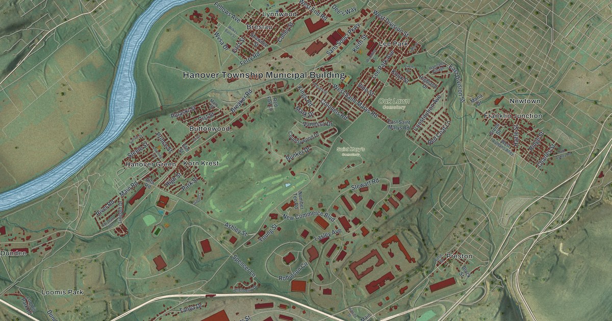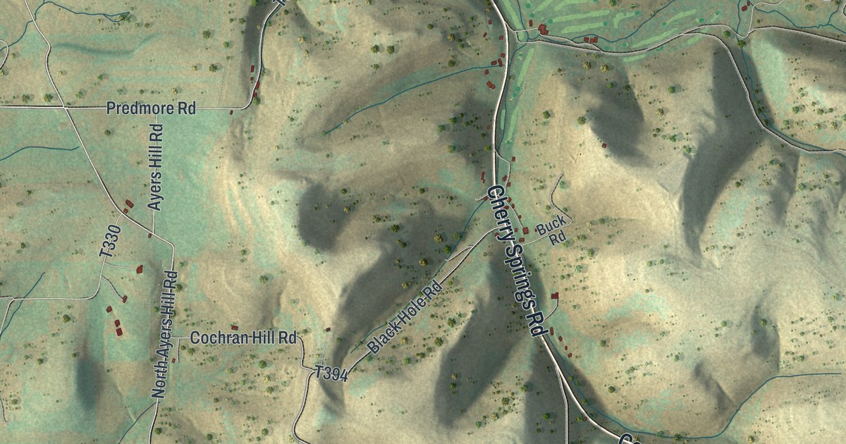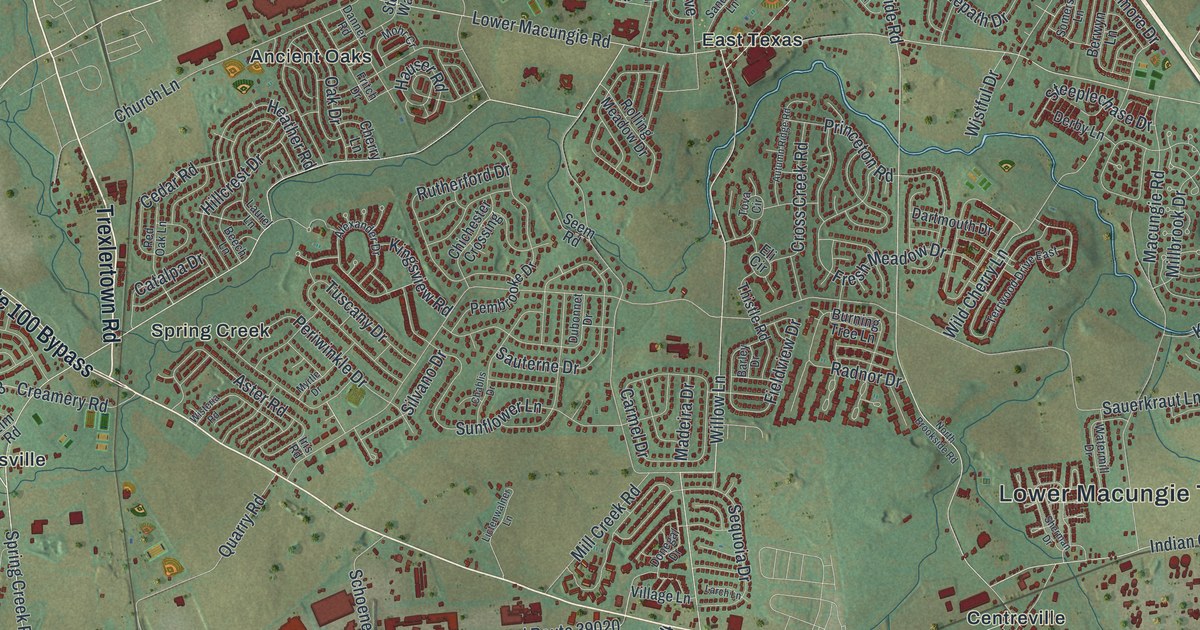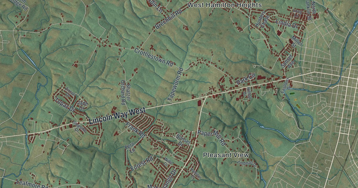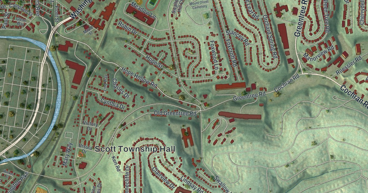
If you grew up off Greentree Road, Bower Hill Road or Scrubgrass Road, your street is on this map. It's a modern aerial view of Scott Township in Allegheny County, Pennsylvania, made from modern data and given a vintage feel. Green hills fill the sheet, and a blue creek winds down the left side. You can pick out Scott Township Hall in the middle, Glendale and Woodville near the creek, and Bower Hill near the bottom.
Greentree Road, Bower Hill and more on the Scott map
On this map you'll find Greentree Road, Washington Pike, Bower Hill Road, Kane Boulevard, Cochran Road, Scrubgrass Road, Swallow Hill Road, Lindsay Road, Noblestown Road, Old Washington Pike, Scott Township Hall, Scott Park, Mount Olivet Cemetery, Glendale, Woodville, Essen, East Carnegie, and more. Each red shape is a building, so zoom in on the preview and look for yours.
Bower Hill and the Whiskey Rebellion
Scott's best-known story took place at Bower Hill in the summer of 1794. General John Neville had a mansion there. He collected the whiskey tax for President Washington. On July 16 and 17, 1794, more than 500 rebels came to Bower Hill. Neville, the people he enslaved and a small group of federal soldiers held them off for two days. Two rebel leaders, Oliver Miller and James McFarlane, were killed. In the end, the rebels burned the mansion to the ground. A state historical marker calls it a major rise in violence during the Whiskey Rebellion.
That marker stands on Kane Boulevard, at the site of the old mansion. Neville also belonged to Old St. Luke's Church, at 330 Old Washington Pike. Its own marker calls it the oldest Episcopal church in southwestern Pennsylvania. The rebellion upset its members for a time. The stone church came later, after interest in the parish came back in 1852. Inside is an English pipe organ from 1823. It was the first one brought over the Alleghenies. On the map, look for Old Washington Pike near the Woodville label.
A map of Scott, from East Carnegie to Essen
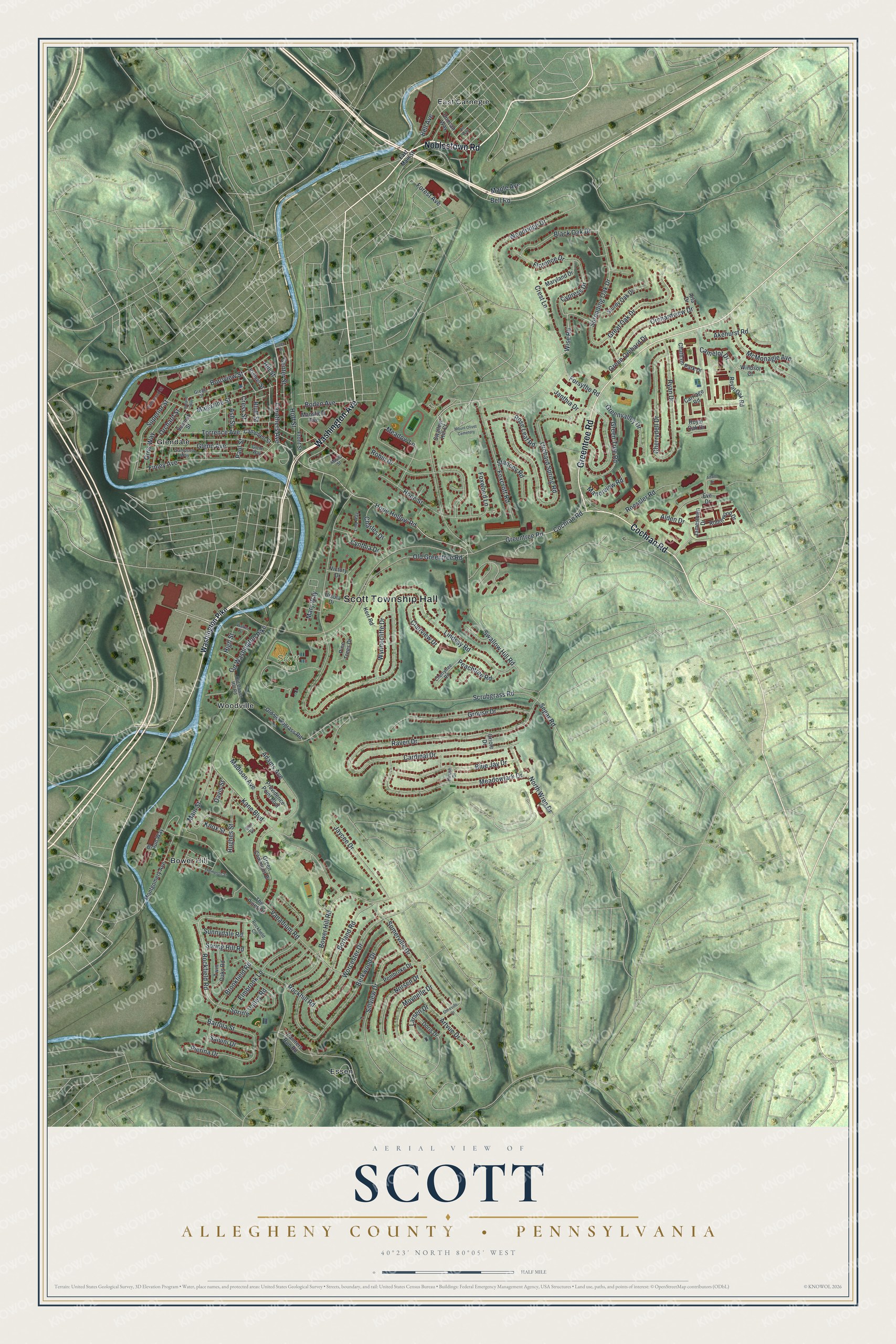
Created by KNOWOL in 2026, this print shows Scott's hills in soft green shaded relief, with the creek in blue and the buildings in deep red. The title panel at the bottom reads "Aerial View of Scott, Allegheny County • Pennsylvania" with the coordinates 40°23' North 80°05' West.
It fits well in a living room, a home office or a front hall. It makes a good gift for someone who grew up near Scott Park or Bower Hill and now lives far away. Open the preview and find your own street. See sizes and frames for the Scott, Allegheny County map.