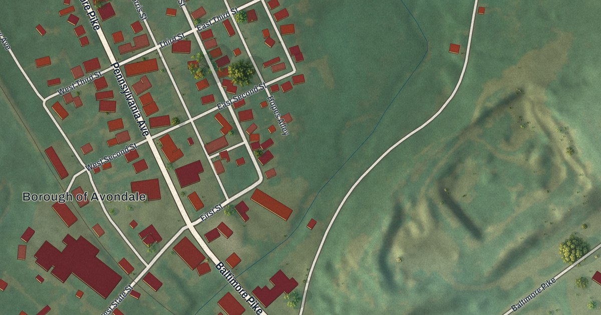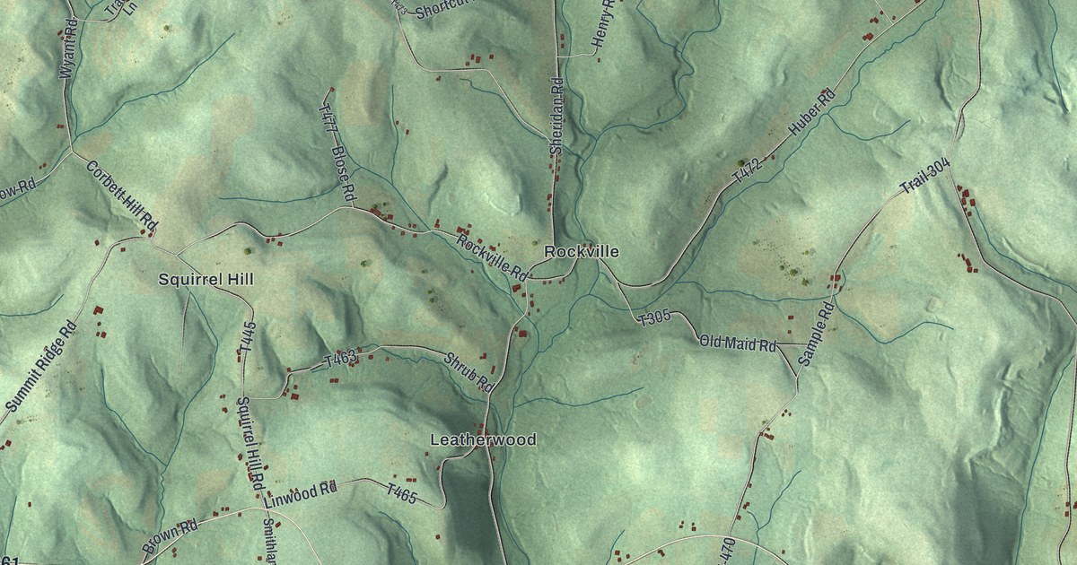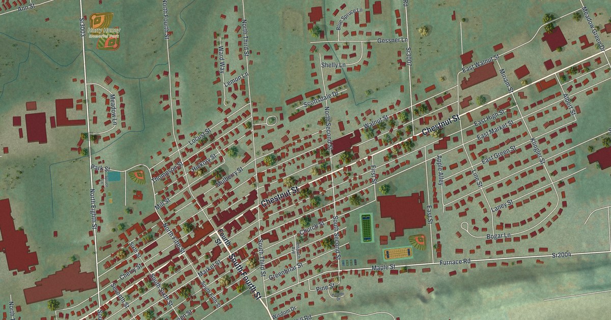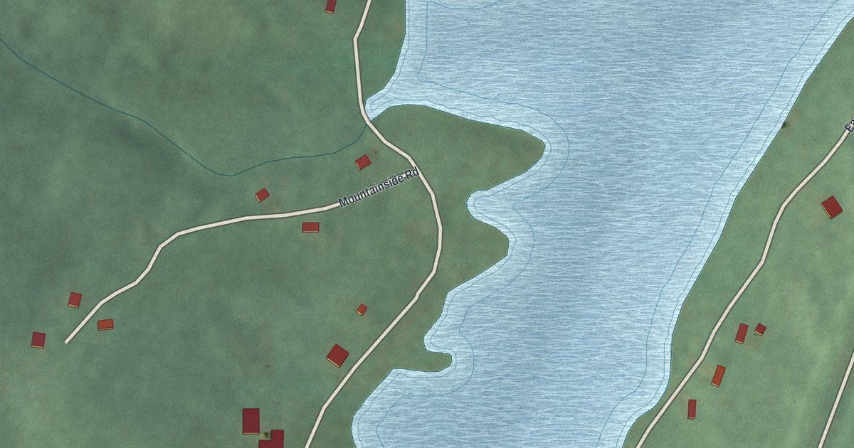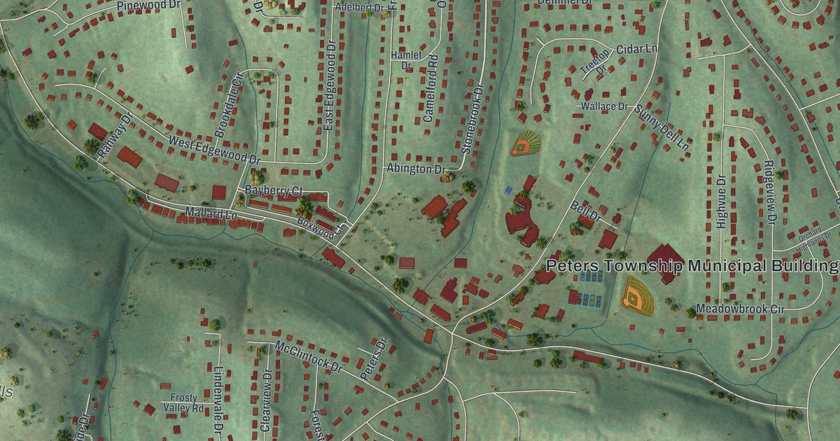
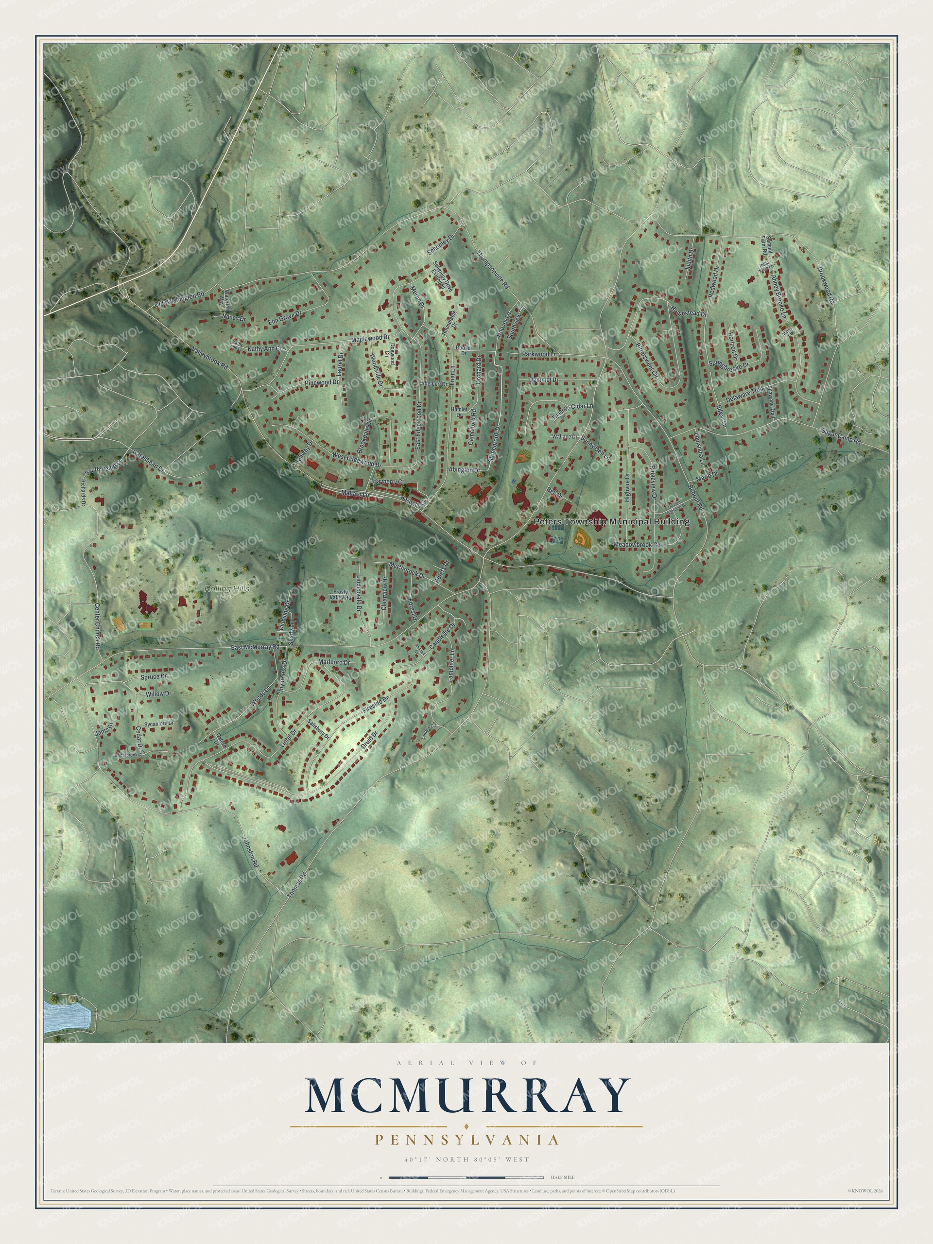
This beautifully detailed map of McMurray, Pennsylvania was created in 2026 using aerial imagery combined with modern topographical, census, street and landmark data. It's a modern aerial view of McMurray in Washington County, Pennsylvania, that combines modern data with a vintage aesthetic. The roads feature printed names, and if you look closely you can find your exact house accurately shown in its correct location.
Explore an aerial view of McMurray, Pennsylvania
On this map you'll find Peters Township Municipal Building, Rolling Hills Park, Stonebrook Drive, South Heide Lane, Bayberry Court, East McMurray Road, Valleybrook Road, Thompsonville Road, Thomas Road, Brookwood Road, Druid Drive, Bebout Road, and more. Each red shape is a building, so zoom in on the preview and look for yours.
McMurray is a community in Washington County. The Census Bureau counted 4,736 people here in 2020. McMurray sits about 2 miles southeast of Lawrence, 4 miles east of Hendersonville and 4 miles southwest of Bethel Park. The map prints the town name in its title panel, with the coordinates below it.
Take a closer look at the McMurray map
Names on this map
These names are printed on this map.
Places: Peters Township Municipal Building and Rolling Hills Park.
Streets and roads: Stonebrook Drive, South Heide Lane, Bayberry Court, East McMurray Road, Valleybrook Road, Thompsonville Road, Thomas Road, Brookwood Road, Druid Drive, Bebout Road, Bittersweet Circle, Lintel Drive.
More street names, A to Z
Abbey Brooke Lane, Abbey Court, Abington Drive, Adelbert Drive, Andiron Circle, Bella Vista Lane, Bell Drive, Boxwood Court, Brookdale Circle, Camelford Road, Candlelite Drive, Cedarbrook Court, Cedar Drive, Center Church Road, Cidar Lane, Clearview Drive, Clubside Drive, Delaware Trail, Demmel Drive, Dogwood Circle, East Edgewood Drive, Edgar Lane, Elm Grove Drive, Fireside Drive, Forest Drive, Friar Lane, Frosty Valley Road, Gateshead Drive, Hamlet Drive, Highvue Drive, Homestead Drive, Hoover Drive, Hoover Lane, Horizon Drive, Inverness Drive, Janis Drive, Johnston Road, Judith Drive, Kathy Ann Court, Kathy Ann Lane, Lampliter Lane, Lantern Circle, Laurel Drive, Lindenvale Drive, Louisiana Lane, Mallard Lane, Maplewood Drive, Marie Drive, Marlboro Drive, McClintock Drive, Meadowbrook Circle, Merlin Drive, Nancy Drive, Old Washington Road, Orchard Drive, Orchard Highlands Drive, Oxford Drive, Parkwood Lane, Peters Drive, Pinewood Drive, Rahway Drive, Redwood Drive, Richards Drive, Ridgeview Drive, Roundtable Drive, Salisbury Drive, Schenley Drive, Schenley Drive Extended, Shady Lane, Shawnee Trail, Southview Court, Springbrooke Drive, Spruce Drive, Sugar Camp Road, Summit Farm Road, Sunny Dell Lane, Sycamore Drive, Treetop Drive, Wallace Drive, Waterfall Way, West Edgewood Drive, Willow Drive, Woodside Drive, Woods Lane.
See it on a wall
The McMurray map as a framed print. Swipe for more.


Created by KNOWOL in 2026. The buildings are small red shapes, the roads carry their printed names, and shaded relief shows the shape of the land. The title panel reads "AERIAL VIEW OF MCMURRAY, PENNSYLVANIA" with 40°17' NORTH 80°05' WEST.
Hang it in the hallway, the office or the cabin, or give it to someone who left McMurray and still calls it home. Open the preview and look for a street you know. See sizes and frames for the McMurray map.