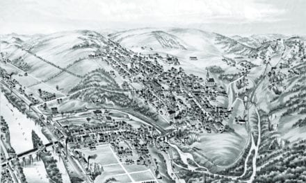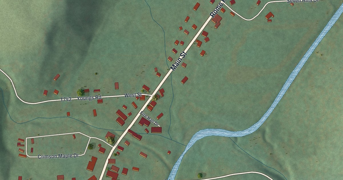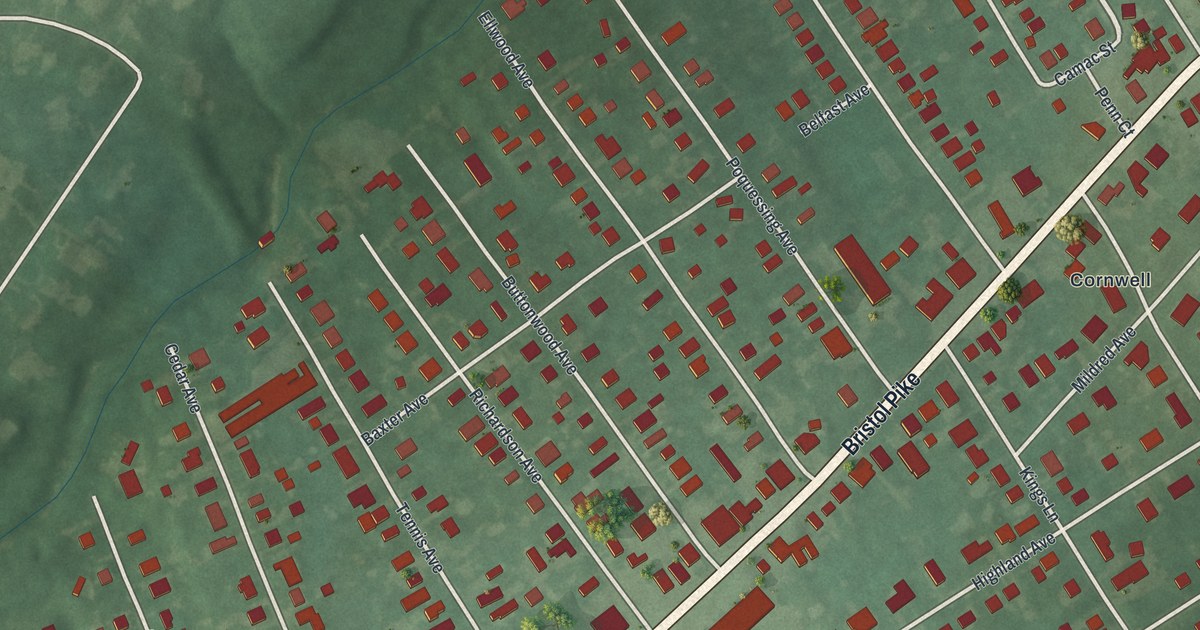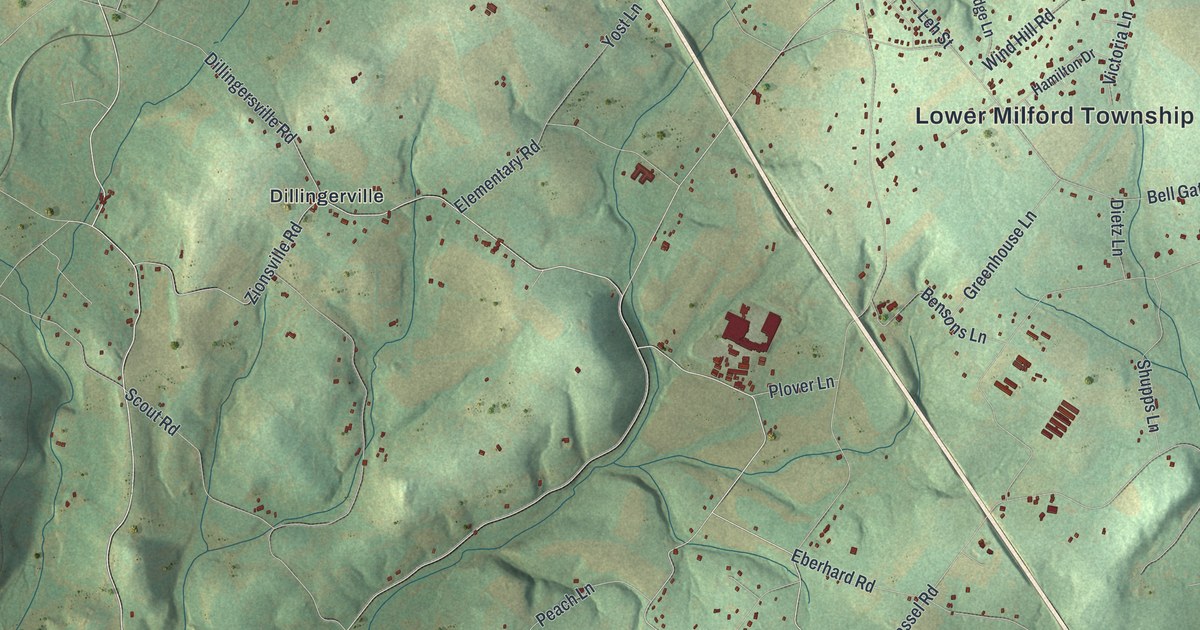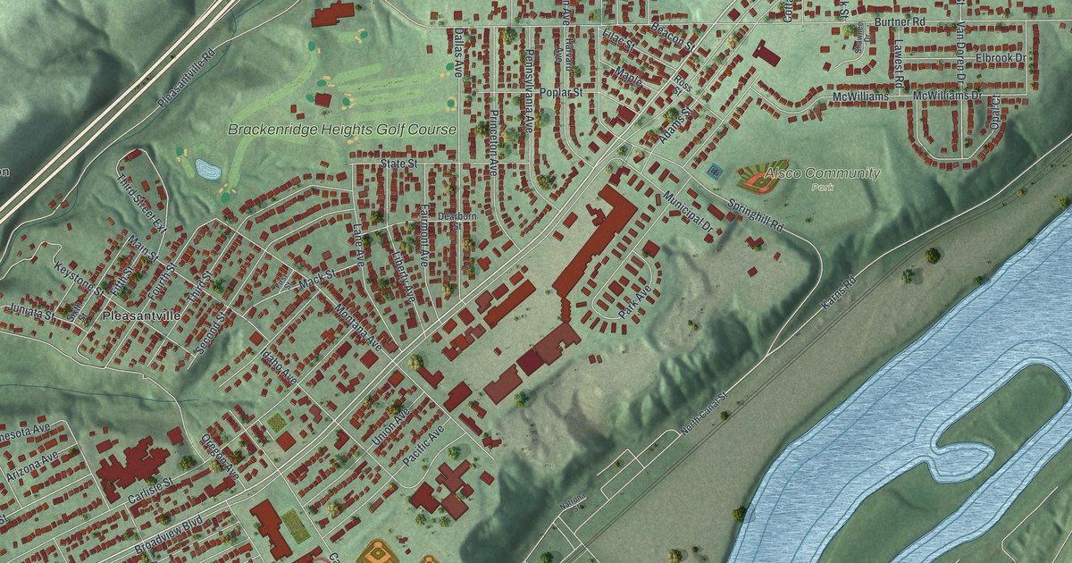
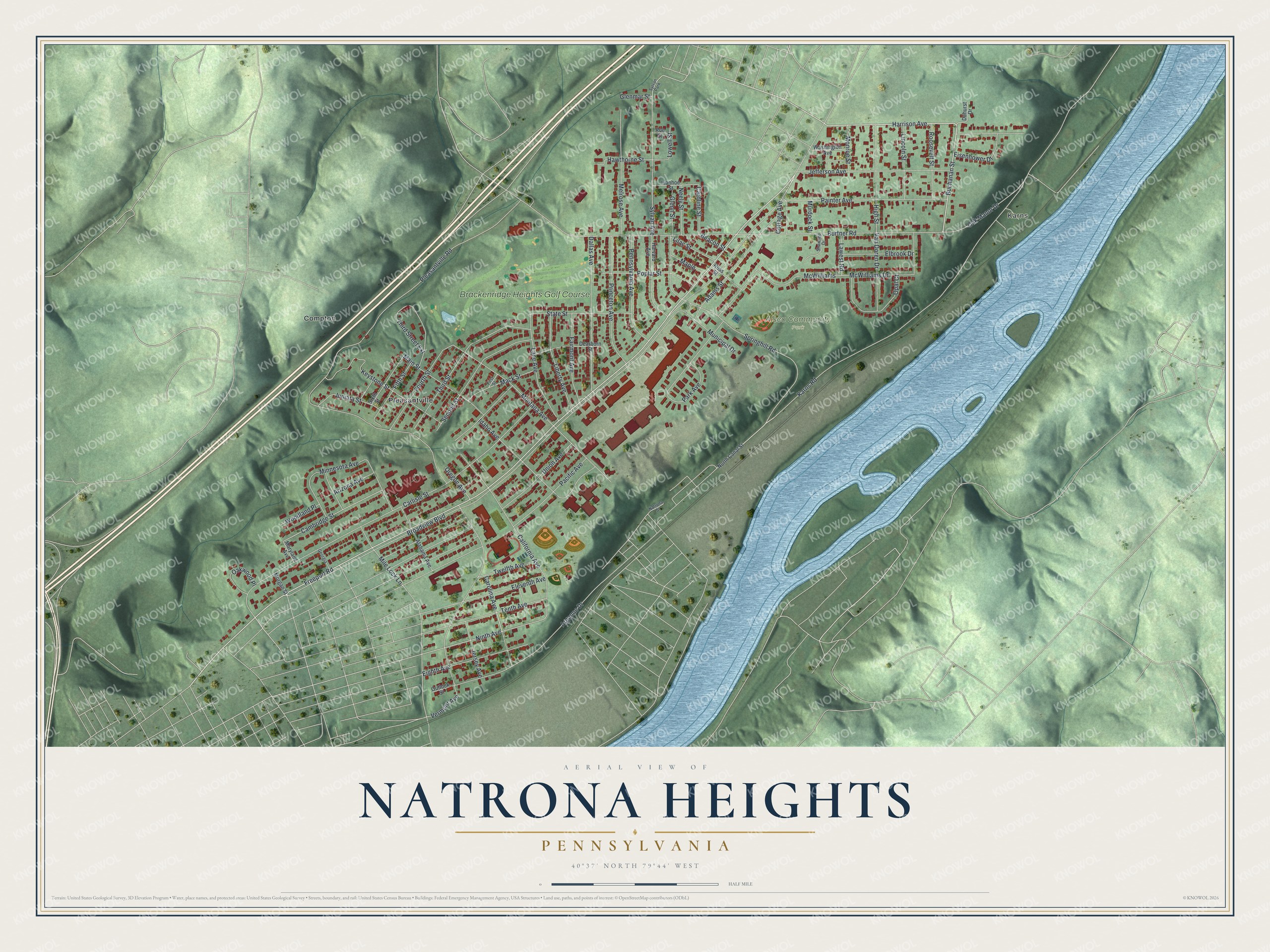
This beautifully detailed map of Natrona Heights, Pennsylvania was created in 2026 using aerial imagery combined with modern topographical, census, street and landmark data. It's a modern aerial view of Natrona Heights in Allegheny County, Pennsylvania, that combines modern data with a vintage aesthetic. The roads feature printed names, and if you look closely you can find your exact house accurately shown in its correct location.
Explore an aerial view of Natrona Heights, Pennsylvania
On this map you'll find Karns, Alsco Community Park, Pleasantville, Compton, Brackenridge Heights Golf Course, Freeport Road, Buchanan Street, Carolina Avenue, Harrison Avenue, Springhill Road, Cambridge Street, Ninth Avenue, and more. Each red shape is a building, so zoom in on the preview and look for yours.
Natrona Heights is a community in Allegheny County. Natrona Heights sits about 2 miles northeast of Tarentum, 3 miles north of Lower Burrell and 4 miles northeast of Arnold. The map prints the town name in its title panel, with the coordinates below it.
Take a closer look at the Natrona Heights map
Names on this map
These names are printed on this map.
Places: Karns, Alsco Community Park, Pleasantville, Compton, Brackenridge Heights Golf Course and Sylvan Park.
Streets and roads: Freeport Road, Buchanan Street, Carolina Avenue, Harrison Avenue, Springhill Road, Cambridge Street, Ninth Avenue, Pleasantville Road, Burtner Road, Broadview Boulevard, Argonne Drive, Carlisle Street.
More street names, A to Z
Adams Street, Alabama Avenue, Arizona Avenue, Beacon Street, California Avenue, Caroline Street, Cottage Avenue, Dallas Avenue, Dearborn Street, Duhurst Drive, Eighth Avenue, Eisenhower Drive, Elbrook Drive, Eleventh Avenue, Fairmont Avenue, Fifth Street, First Street, Fourth Street, Georgia, Glenmar Street, Glenn Street, Harvard Avenue, Hawthorne Street, High Street, Idaho Avenue, Ivanhoe Street, Jefferson Avenue, Jersey Avenue, Juniata Street, Karns Road, Keystone Street, Lane Avenue, Lawest Road, Liberty Avenue, Lilac Street, Lincoln Street, Lowell Street, Mack Street, Main Street, Maple, Maryland Avenue, McWilliams, McWilliams Drive, Melrose Avenue, Mile Lock Lane, Minnesota Avenue, Monroe Street, Montana Avenue, Morgan Street, Municipal Drive, Murdock Street, Natrona Street, Neely Street, North Canal Street, Oak Manor Drive, Oakwood Place, Opal Court, Oregon Avenue, Outlook Street, Pacific Avenue, Painter Avenue, Park Avenue, Pennsylvania Avenue, Poplar Street, Princeton Avenue, Roe Street, Roosevelt Street, Ross Street, Second Street, Shawnee Drive, Sixth Street, State Street, Sylvan Avenue, Tenth Avenue, Third Street, Third Street Extension, Twelfth Avenue, Union Avenue, Van Doren Drive, Vermont Avenue, Washington Avenue, Woodland Place.
See it on a wall
The Natrona Heights map as a framed print. Swipe for more.


Created by KNOWOL in 2026. The buildings are small red shapes, the roads carry their printed names, and shaded relief shows the shape of the land. The title panel reads "AERIAL VIEW OF NATRONA HEIGHTS, PENNSYLVANIA" with 40°37' NORTH 79°44' WEST.
Hang it in the hallway, the office or the cabin, or give it to someone who left Natrona Heights and still calls it home. Open the preview and look for a street you know. See sizes and frames for the Natrona Heights map.