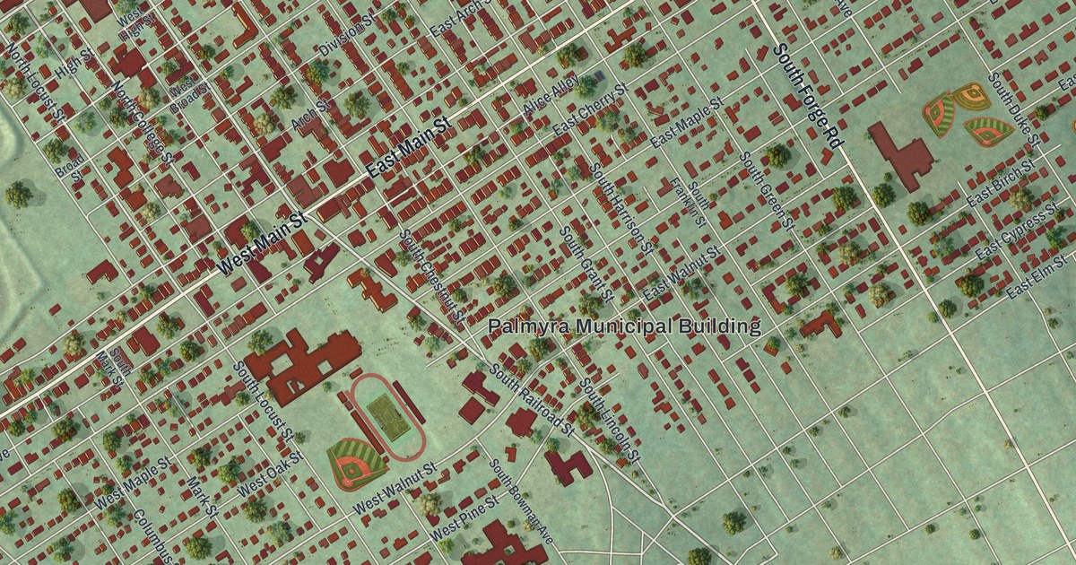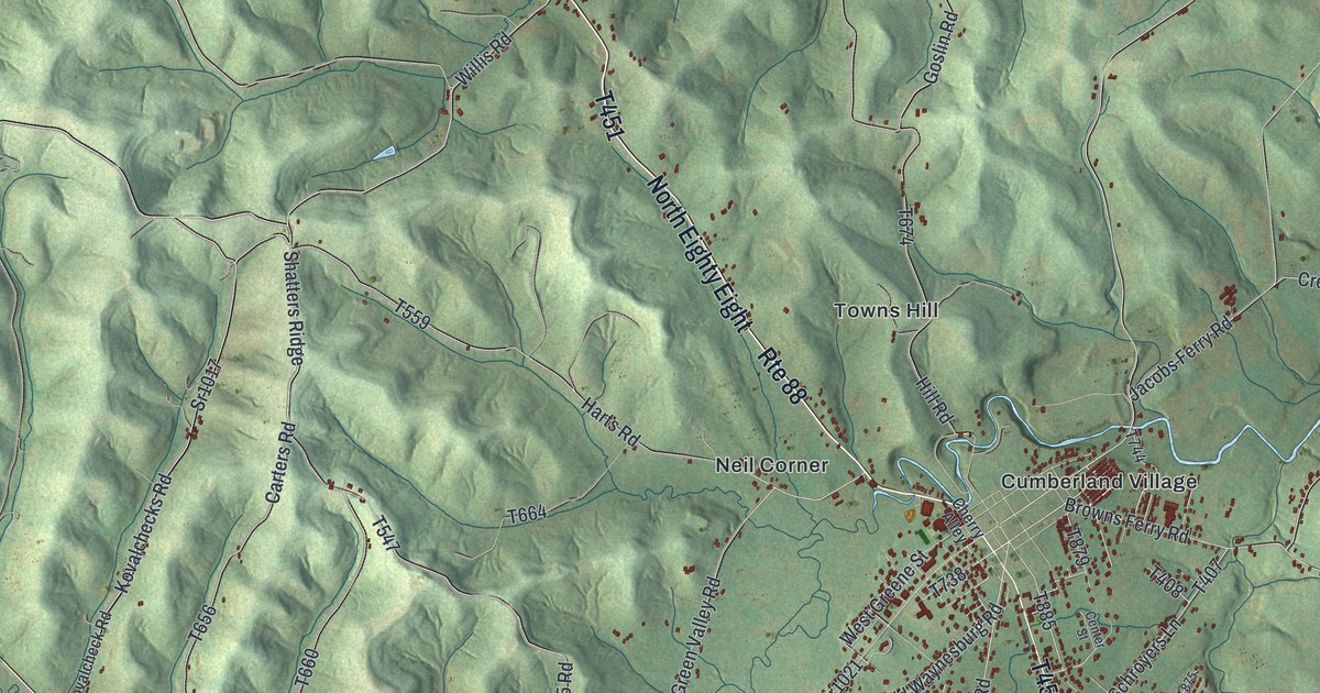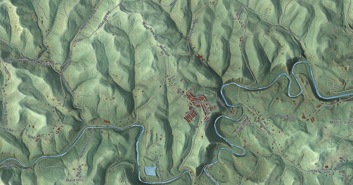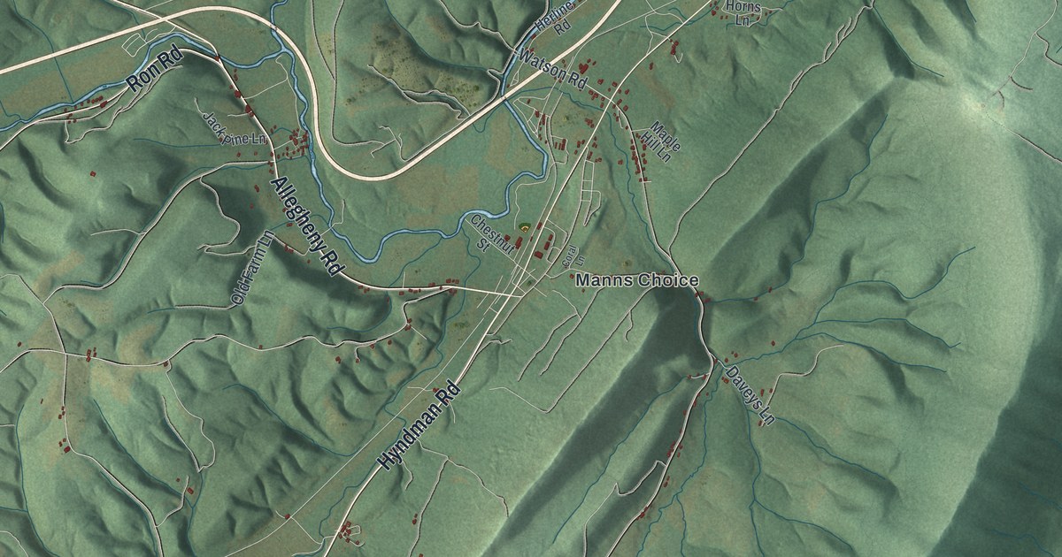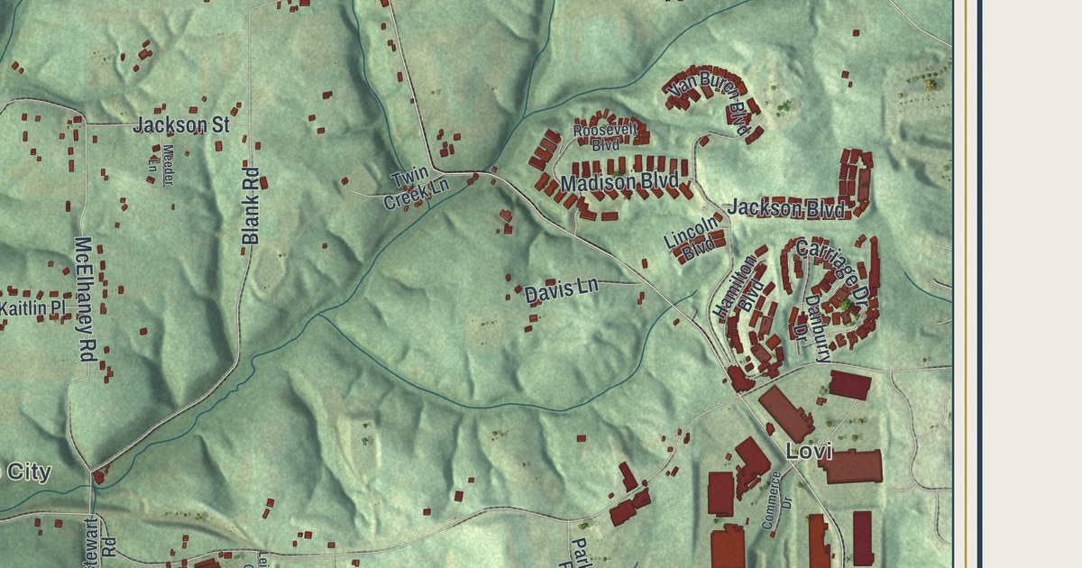
If you grew up off Sunflower Road, or still have family out near Lovi or Unionville, you'll find plenty on this map. It's a modern aerial view of New Sewickley Township in Beaver County, Pennsylvania, made from modern data and given a vintage look. Steep green hills fill the sheet, with red building shapes along the ridges and hollows. A wide blue river runs along the lower left edge. The view reaches from Hartzell School Road at the top down to Freedom Crider Road at the bottom.
From the Township Hall to Unionville, Sunflower and Lovi
On this map you'll find New Sewickley Township Hall, Miller Road, Big Knob Road, Sunflower, Sunflower Road, Unionville, Lovi Road, Knob, Freedom Crider Road, Lovi, Madison Boulevard, Jackson Boulevard, Roosevelt Boulevard, and more. Many of the roads are labeled, and each red shape is a building, so zoom in on the preview and look for yours.
What an 1888 history says about New Sewickley
The History of Beaver County, printed in 1888, says New Sewickley Township was formed in 1801. The New Sewickley chapter records 35 members at a school's first meeting on April 14. On the map, Steel School Road meets Rochester Road and Blank Road in the lower right.
Big Knob Road and Brush Creek Road
Big Knob Road, Knob and Knobvue Drive are all printed on the map. Brush Creek Road crosses the upper left, and Burns Road meets Sunflower Road near the top. The 1888 county history says Brush Creek ran diagonally across New Sewickley Township.
For someone who grew up near Big Knob Road
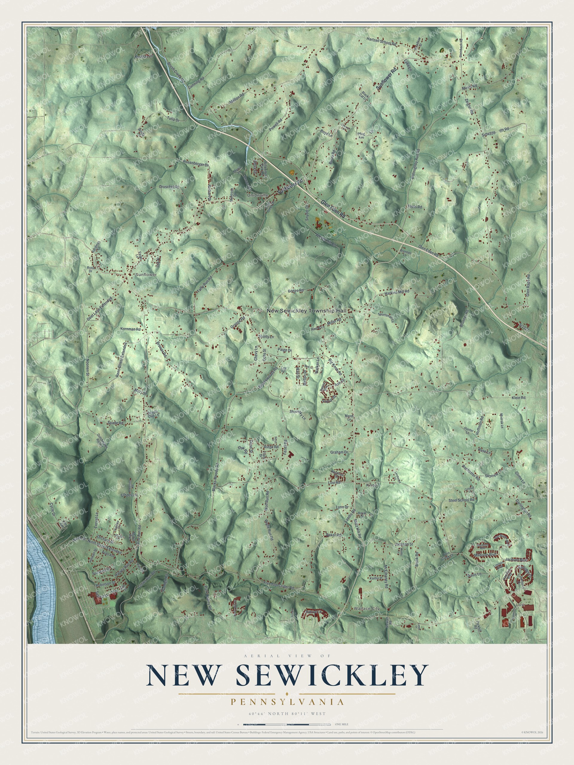
Created by KNOWOL in 2026, this map of New Sewickley shows the township's hills in shaded green, made from USGS elevation data. Buildings are drawn in dark red, and many roads are named in small type. The title panel reads "Aerial View of New Sewickley, Pennsylvania," with the coordinates 40°44' North, 80°11' West and a one-mile scale bar.
It suits a family room, a den or a kitchen wall. It's a good gift for someone who grew up near the Township Hall, or who moved away from a house on Lovi Road or Sunflower Road. Open the preview, zoom in and find the road you know. See sizes and frames for the New Sewickley map.