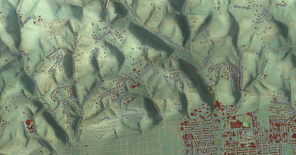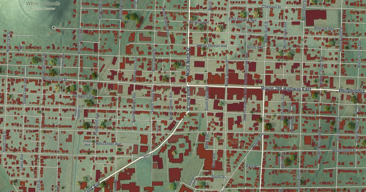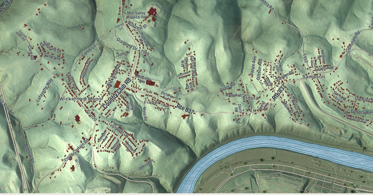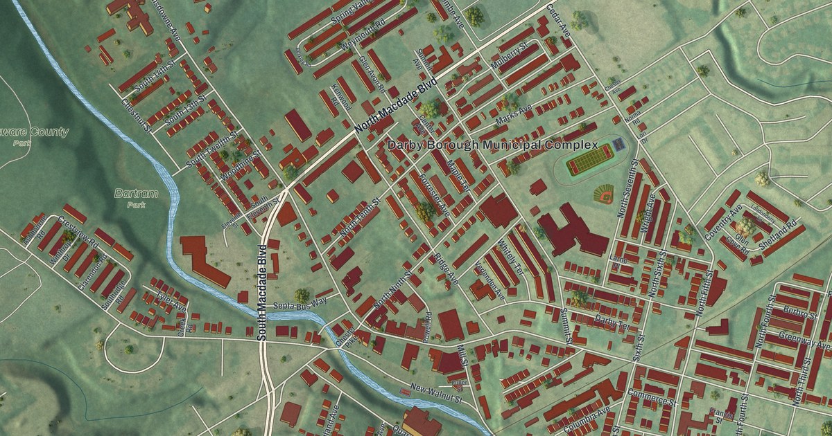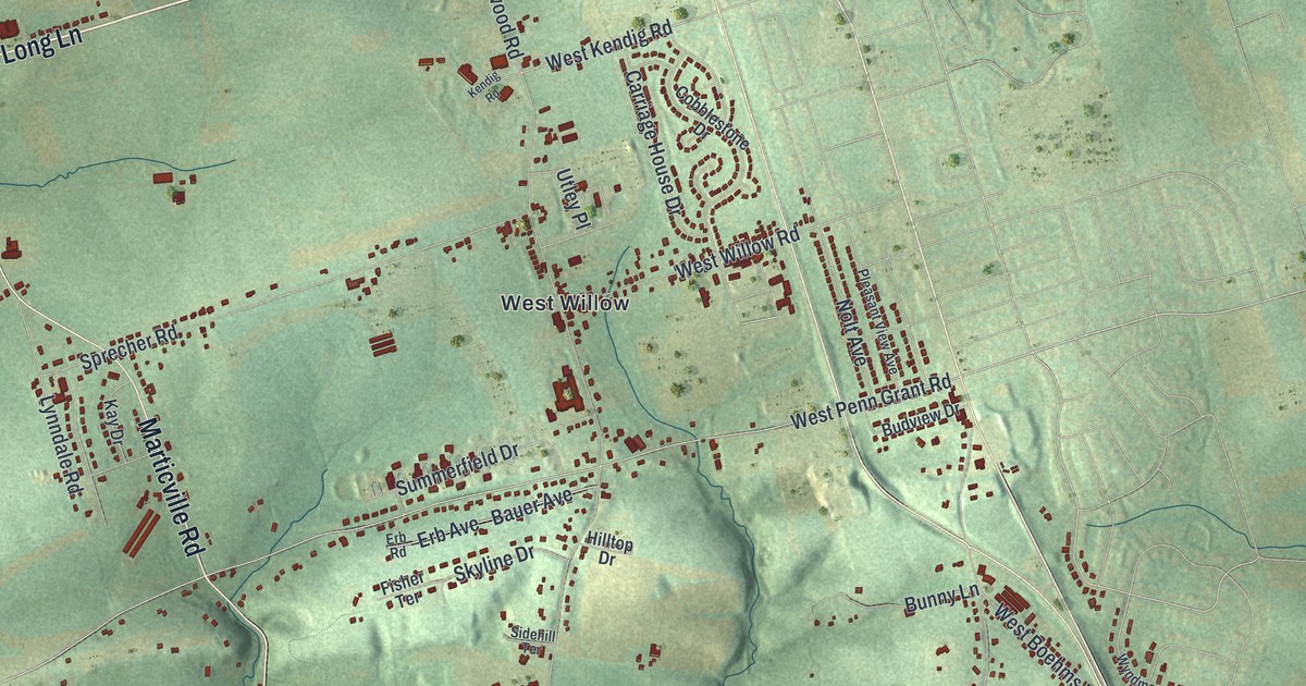
If you grew up in West Willow or New Danville, or you drive Willow Street Pike every day, this map has a lot for you to find. It's a modern aerial view of Pequea Township in Lancaster County, Pennsylvania, built from modern data and given a vintage look. Green shaded hills fill the sheet, and each building is a small red shape. A looping blue river winds across the top, and a creek bends along the bottom edge.
From New Danville to West Willow and Herrville
On this map you'll find Willow Street Pike, Long Lane, Marticville Road, New Danville Pike, Millersville Road, Millwood Road, Baumgardner Road, Herrville Road, New Danville, West Willow, Herrville, Wabank, Baumgardner, Burnt Mills, Silver Mine Park, and more. Each red shape is a building, so zoom in on the preview and look for yours.
How Stumptown became New Danville
New Danville used to have another name. The 1883 History of Lancaster County says New Danville was once called Stumptown. When it got a post office, it took a new name. As the story goes, several people named Daniel lived there. The same book says the village had eleven houses in 1830, with a tavern and two blacksmith shops. By 1883 it had twenty-four houses, a store, a shoe shop and a doctor. A stone Mennonite church went up in 1755, about three quarters of a mile south of the village. Look below New Danville on the map, along New Danville Pike, and you'll see the farm buildings spread out across the hills.
Baumgardner's Mill and the Burnt Mill on Pequea Creek
The same book lists the mills of Pequea Township, and two of the names show up on this sheet. Baumgardner's Mill stood on Pequea Creek, about eight miles from Lancaster. Jacob Smith built it of stone around 1800. Thomas Baumgardner bought it in 1870 and put in new machinery. In 1814, Isaac Heiney built a brick mill about a mile below it. It ran four sets of millstones and did a large business. That mill burned about twelve years before the book came out, and the book calls it the Burnt Mill. On the map you'll find Baumgardner, Burnt Mills, Twp Road 425, and more. Baumgardner's Mill Covered Bridge is on Twp Road 425, and it's listed on the National Register.
A Pequea map for West Willow and New Danville families
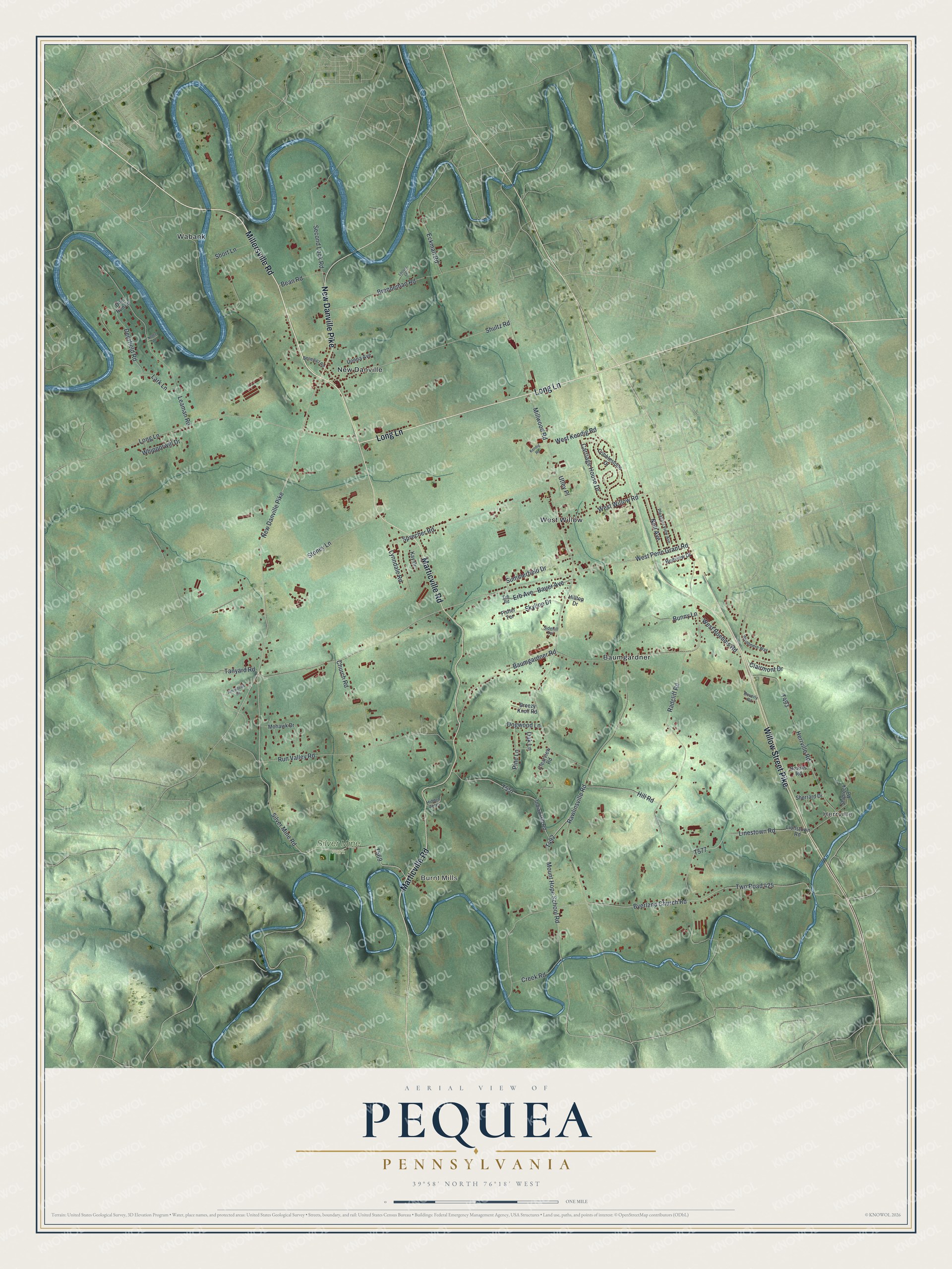
Created by KNOWOL in 2026, this Pequea Township map looks at home in a kitchen, a family room or a home office. The hills are shaded from USGS elevation data, so the ridges and creek valleys stand out in soft green. The title panel reads "Aerial View of Pequea, Pennsylvania" with the coordinates 39°58' North, 76°18' West and a one-mile scale bar.
It's a good gift for someone who grew up in West Willow or New Danville, or who moved away from Pequea Township. Open the preview and follow Long Lane or Marticville Road to the place you know. See sizes and frames for the Pequea map.