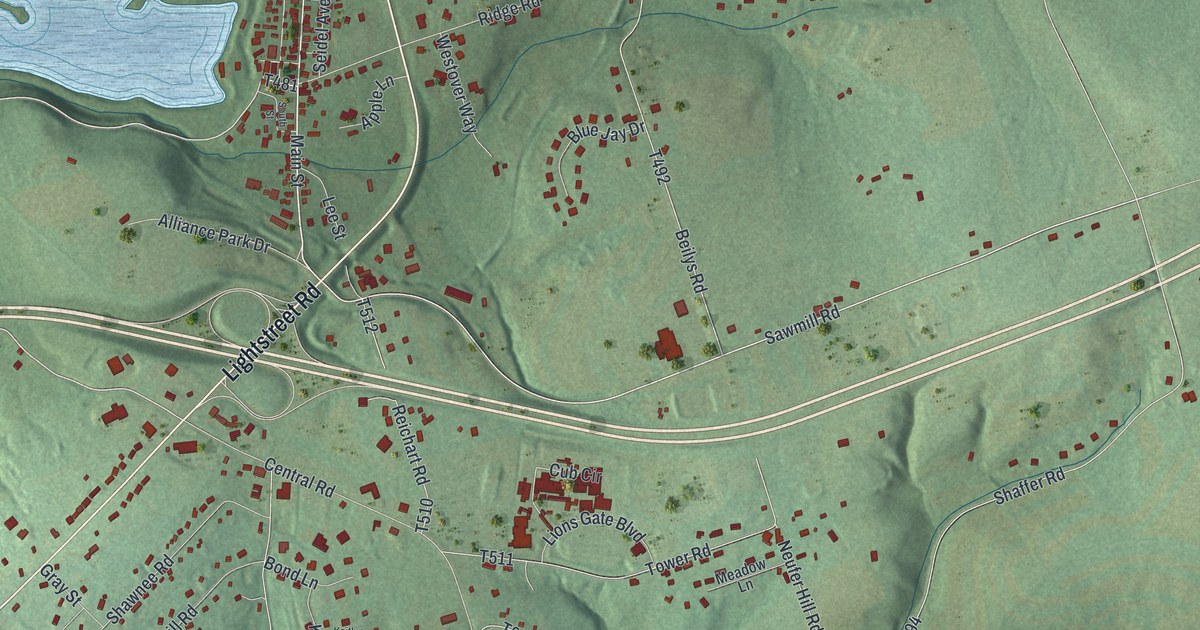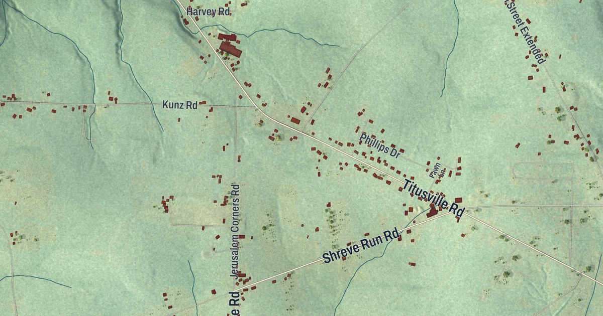
If you grew up along Rouseville Road, have family near Shamburg, or know the trails in Oil Creek State Park, this map covers the hills you know. It's a modern aerial view of Oil Creek Township in Venango County, Pennsylvania, made from modern data and given a vintage look. Rouseville Road runs straight down the middle of the sheet. A blue creek winds along the left side past the Oil Creek State Park label. Red buildings line Titusville Road up top, and shaded green hills fill the rest, cut by dozens of small runs.
Titusville Road, Rouseville Road and East Shamburg
On this map you'll find Rouseville Road, Titusville Road, East Shamburg, Shamburg, Oil Creek State Park, White City Road, Shreve Run Road, Miller Farm Road, Fleming Road, Jerusalem Corners Road, Bryner Road, Coe Road, Tight Pinch Road, Old Warren Pike, Drake Well Road, and more. Each red shape is a building, so zoom in on the preview and look for yours.
The 1865 pipeline from Pithole to Miller Farm
Oil was found at Pithole in 1865. Within months it was a boom town of 15,000 people. That fall, workers built a pipe about 5 miles long in a straight line. Pumps pushed the oil from Pithole to a railhead at Miller Farm. A state historical marker on Rouseville Road calls it the first oil pipeline. Miller Farm had another first that year. James and Amos Densmore built the first working railway oil tank car there. It was two wooden tanks on a flat car, and each tank held 40 to 45 barrels. By 1866, hundreds were in use. Pithole's wells started to go dry in less than a year, and the pipe was dug up. The marker says parts of its trench can still be seen. Look for Miller Farm Road near Shamburg.
Miller Farm, the Flemings and James Shreve
The 1890 county history records a sharp change in Oil Creek Township's population. It counts 5,098 people in Oil Creek township in 1870. By 1880 there were 526. The same book says James Miller gave his name to Miller Farm station, once a busy oil town with a post office called Meredith. It says the Flemings were probably the first settlers. Andrew and Daniel Fleming came from Fayette County in 1796. Their mother Sarah followed in 1798 with four more sons. James Shreve came from the same part of Fayette County. Look for Fleming Road and Shreve Run Road on the map, both in the middle of the sheet.
For someone from Shamburg or East Shamburg
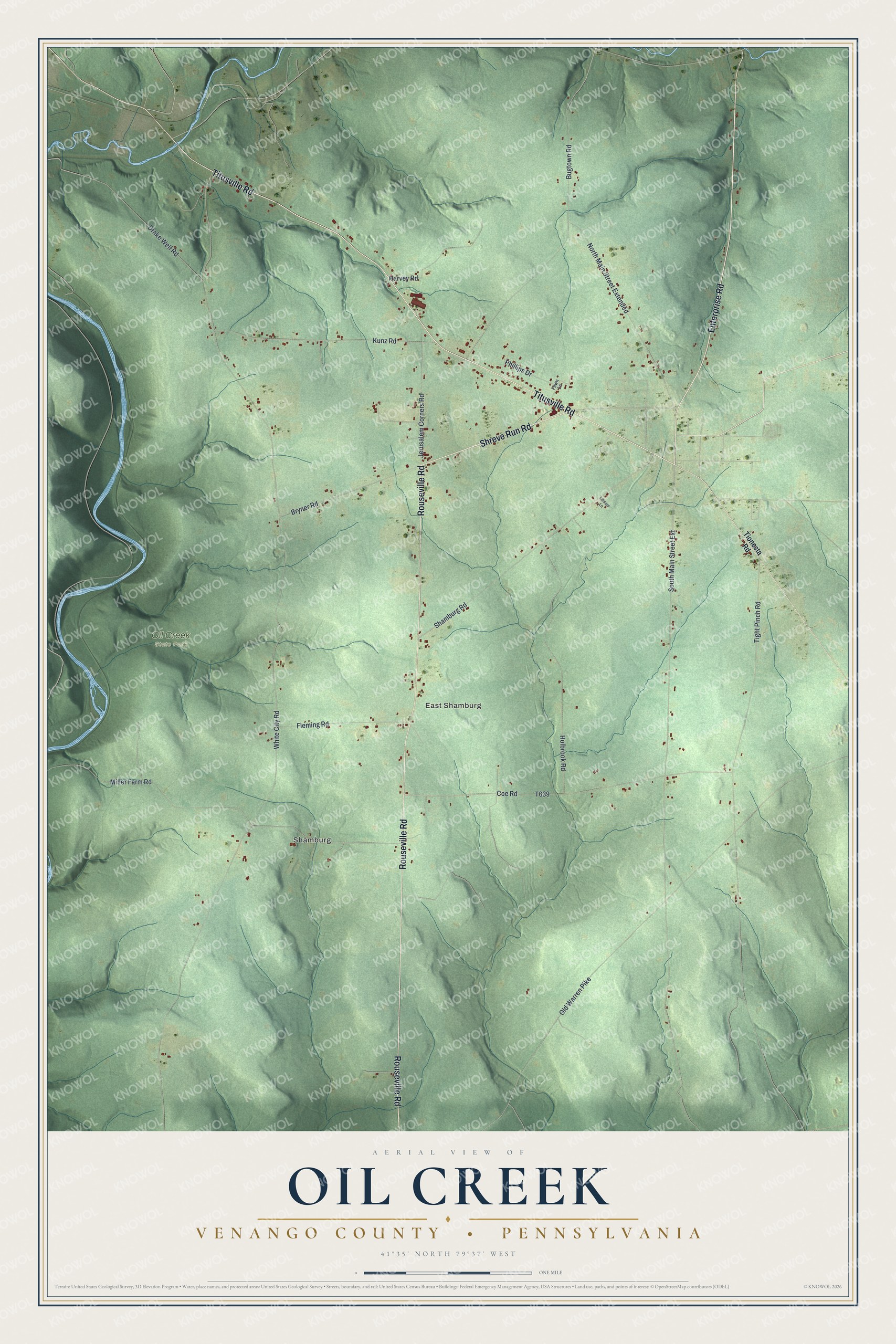
Created by KNOWOL in 2026, this Oil Creek map shows green shaded hills, winding runs and small red building shapes. Its roads were drawn from U.S. Census road data. The title panel reads "Aerial View of Oil Creek, Venango County, Pennsylvania" with 41°35' North, 79°37' West and a one-mile scale bar.
It fits a den, a home office or a camp wall. It's a good gift for someone who grew up near Shamburg, hiked in Oil Creek State Park, or moved away from a house on Rouseville Road. Open the preview, zoom in and find a road you know. See sizes and frames for the Oil Creek, Venango County map.