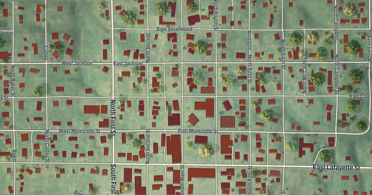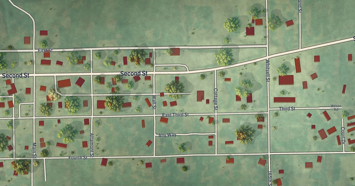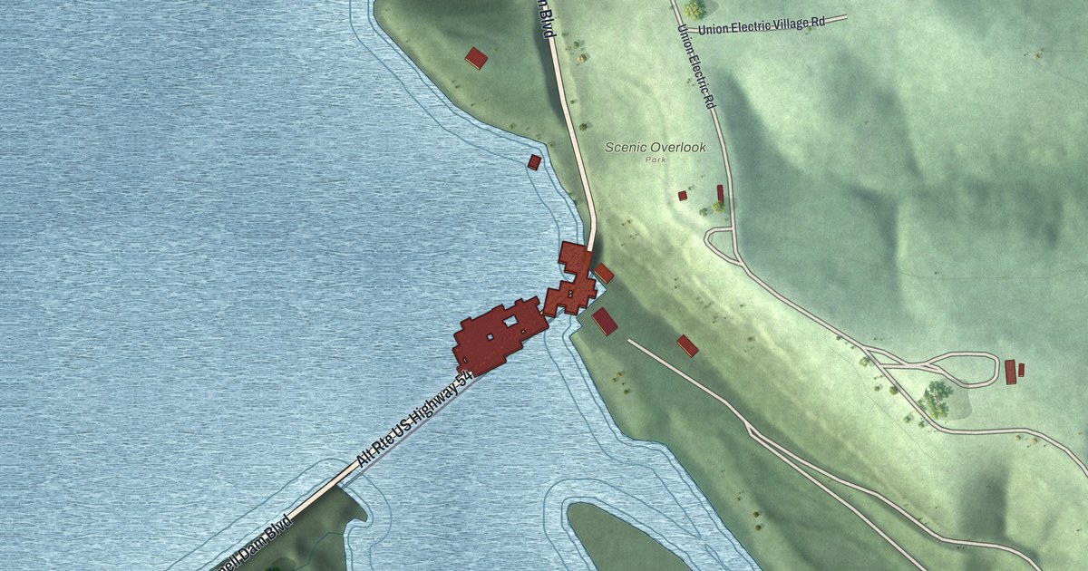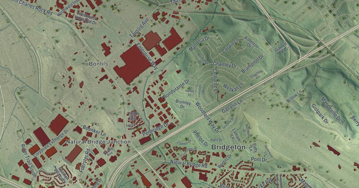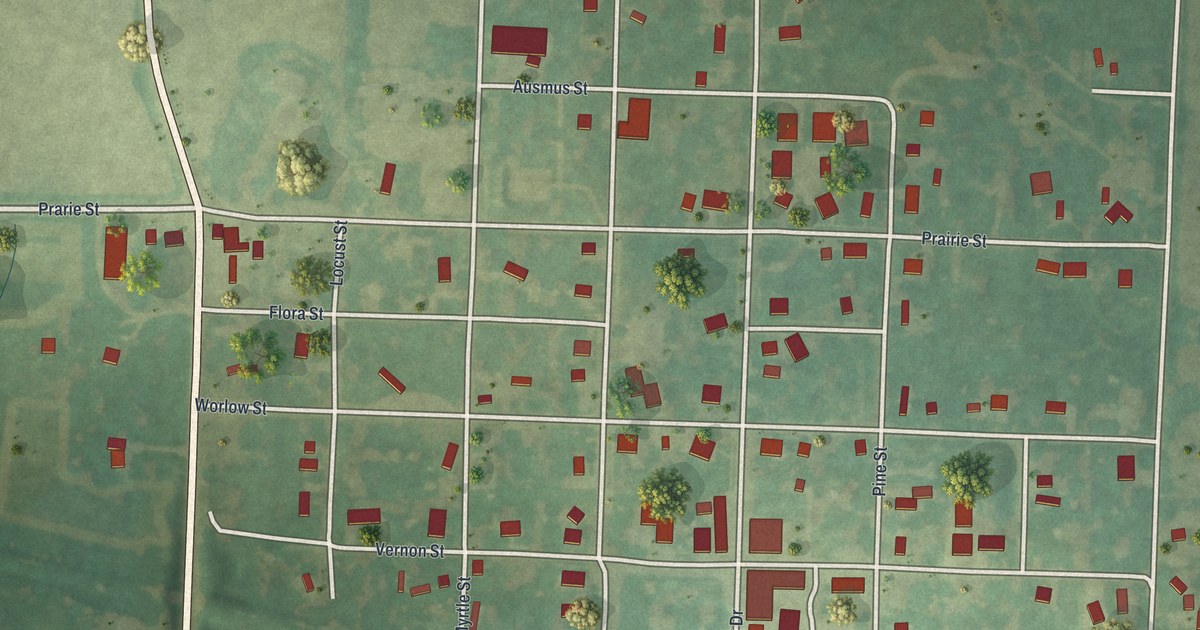
If you grew up in Laclede, here's a view of home to keep close. This modern aerial view of Laclede in Linn County, Missouri pairs modern data with a vintage feel. Red buildings dot the town's street grid, with green fields and winding blue creeks around it.
Worlow Street and Pershing's Boyhood Home
On this map you'll find Highway 5, Pershing Drive, Worlow Street, Grove Street, Pine Street, Vernon Street, Olive Street, Cole Street, Myrtle Street, Front Street, Cushman Street, Laclede Cemetery, and more. Each red shape is a building, so zoom in on the preview and look for yours.
General John J. Pershing spent his boyhood in Laclede. The National Register lists his boyhood home at State and Worlow streets. It was added to the register in 1969. Worlow Street gives you a printed name to look for near that historic home. You'll also find Pershing Drive among the town's streets on this view.
A Laclede Map for Your Wall
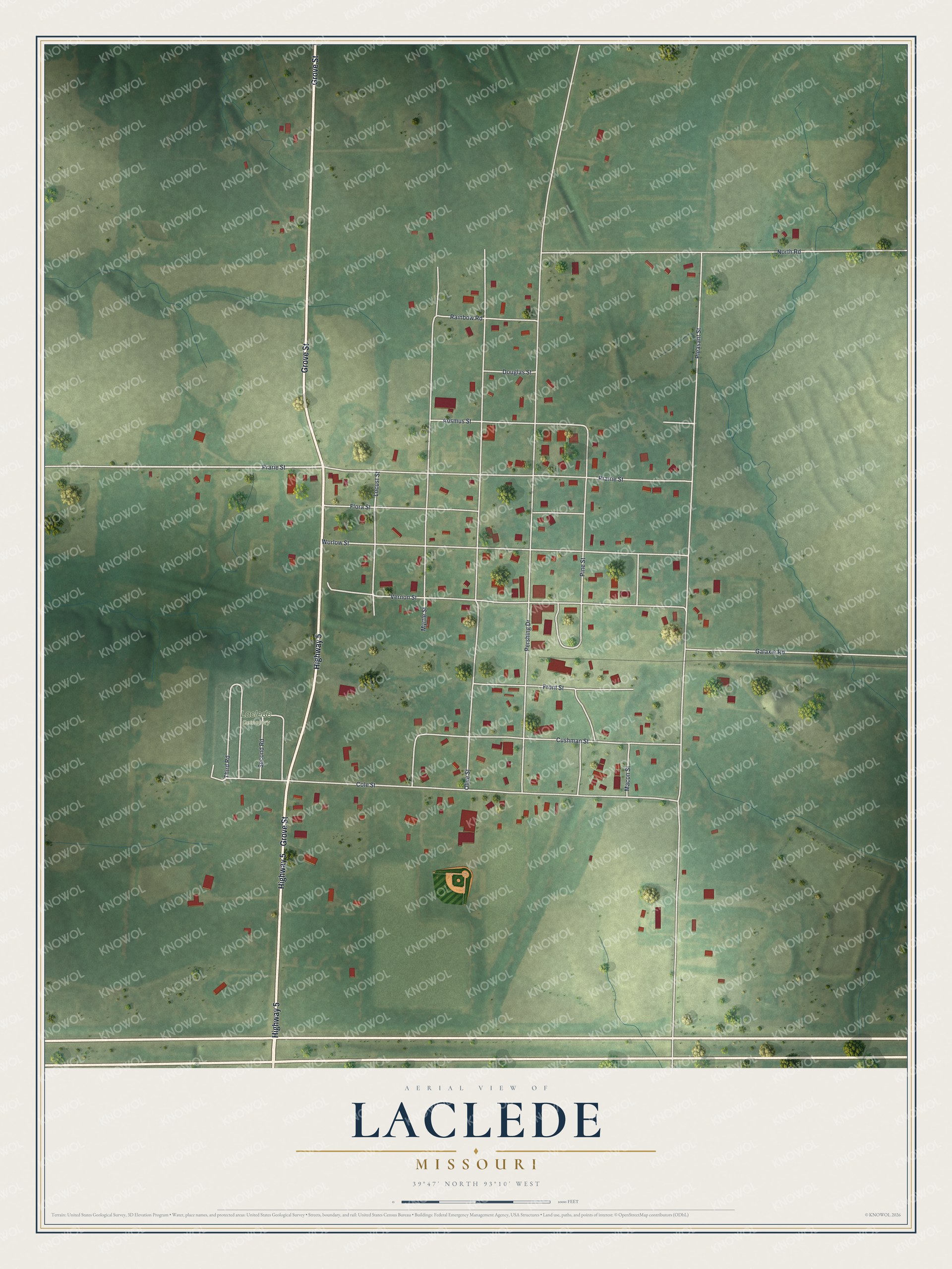
Created by KNOWOL in 2026, this print pairs soft green land with red buildings and pale roads. A cream border surrounds the view. The title panel reads AERIAL VIEW OF, LACLEDE, MISSOURI, and 39°47' NORTH 93°10' WEST.
Hang it in a living room, office, or front hall. It's a gift for someone who grew up near Worlow Street or has family in Laclede. Open the preview and take a closer look at the streets you know. See sizes and frames for the Laclede map.