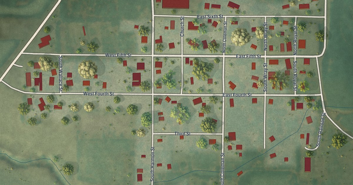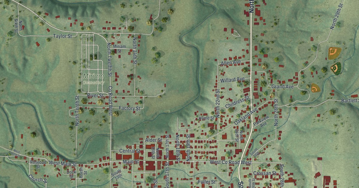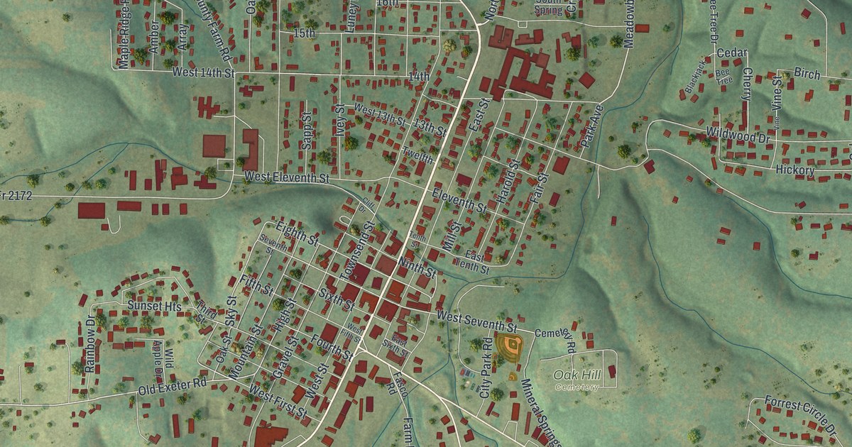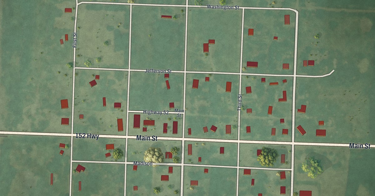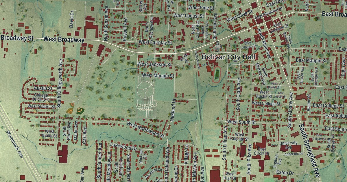
If you grew up in Bolivar, this print gives you familiar streets to find. It's a modern aerial view of Bolivar in Polk County, Missouri, made with modern data and a vintage feel. Red building shapes fill the town's blocks, with green fields and winding blue creeks around them.
Bolivar City Hall, Broadway and Dunnegan Park
On this map you'll find Bolivar City Hall, West Broadway Street, East Broadway Street, South Springfield Avenue, North Main Avenue, Dunnegan Park, Greenwood Cemetery, West Forest Street, East Division Street, South Main Avenue, East Jackson Street, and more. Each red shape is a building, so zoom in on the preview and look for yours.
The fields around Bolivar give this view a link to an early farm story. The 1889 Goodspeed history records an account from Faulkner, president of the Bank of Bolivar. He said Polk County's first wheat flour came from Washington County, Arkansas. The first grain was hauled with cattle to Boonville, 150 miles away. It brought only about 32 and a half cents a bushel. His account gives a sense of the work behind each load. Look at the open fields around the town's red building shapes as you read it.
Keep Bolivar Close to Home
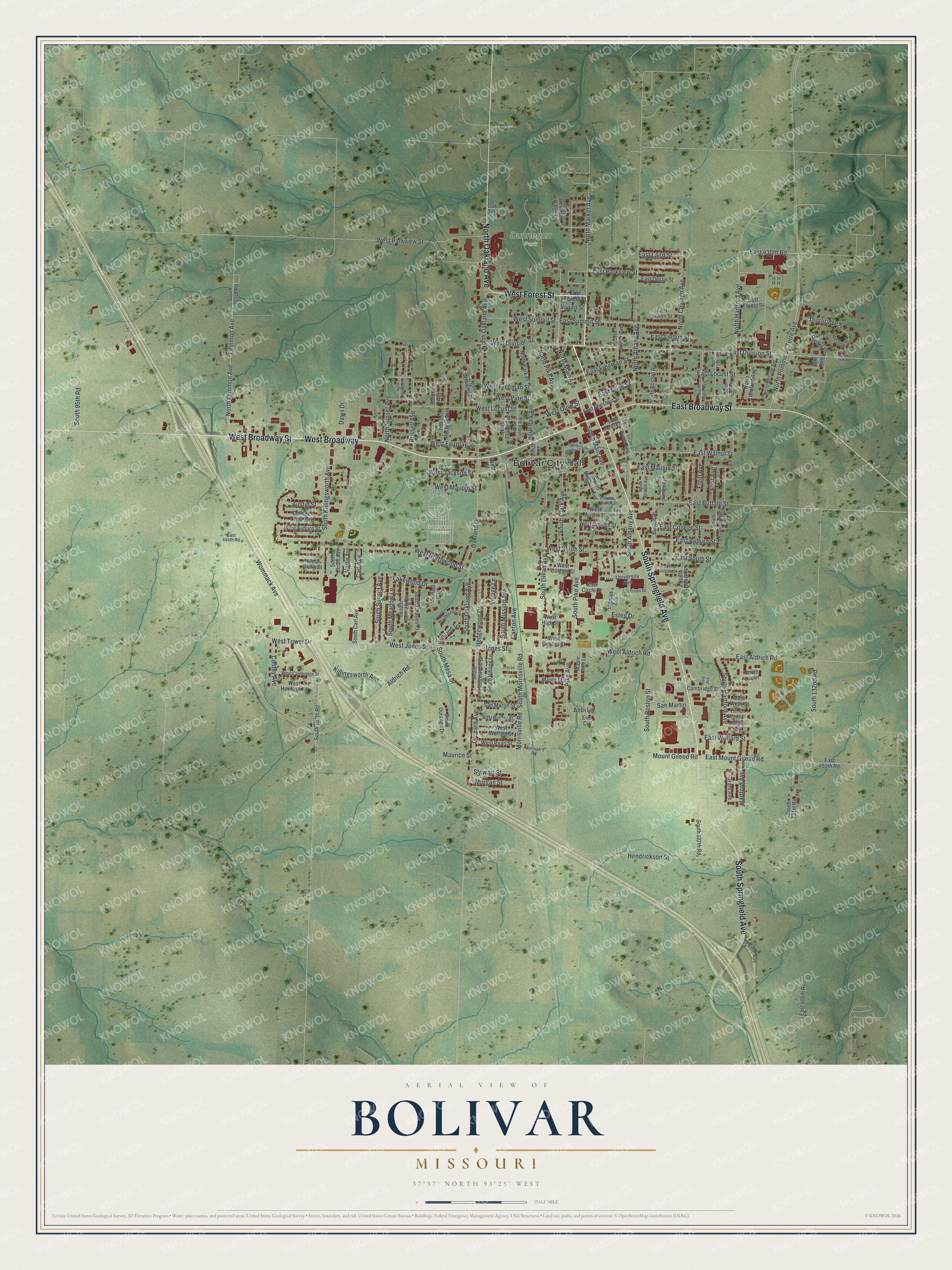
Created by KNOWOL in 2026, the print pairs soft green land with blue waterways and deep red buildings. A cream border surrounds the view. The title panel reads AERIAL VIEW OF, BOLIVAR, MISSOURI, with 37°37' NORTH 93°25' WEST below.
Hang it in a living room, home office or entryway. It's a gift for someone who grew up near Dunnegan Park or has family in Bolivar. Open the preview and look for the block you'd want to keep close. See sizes and frames for the Bolivar map.