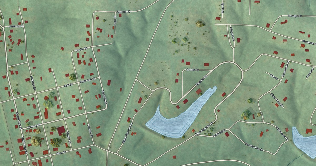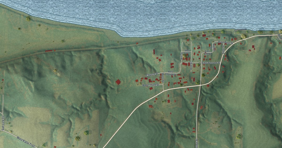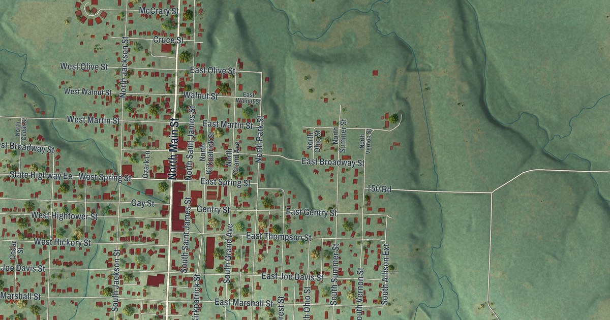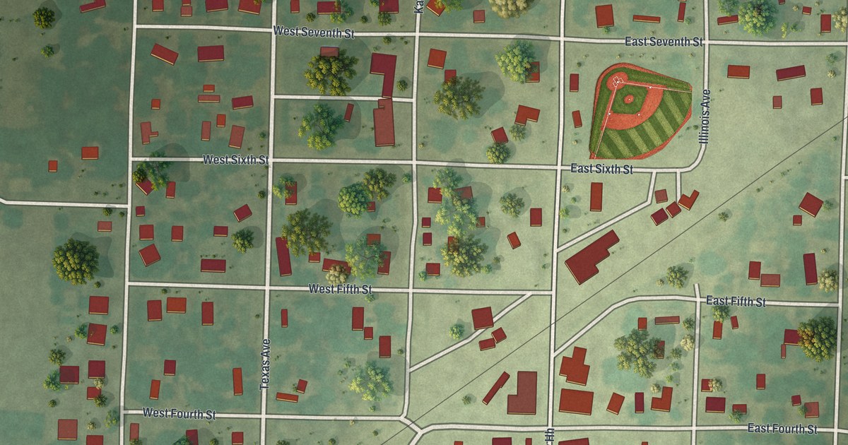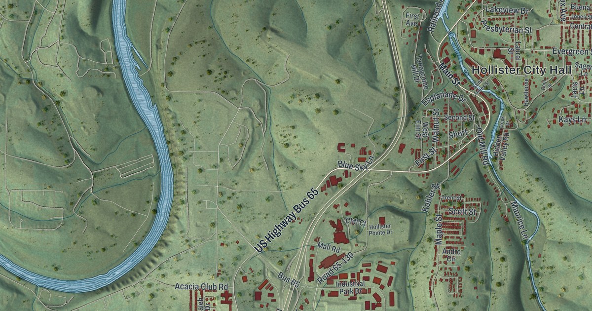
If you grew up on the streets around Hollister City Hall, or your family still lives in these hills, this map was made with you in mind. It's a new aerial view of Hollister in Taney County, Missouri, built from modern data and given a vintage look. Deep green hills fill the sheet, and a wide blue river winds across the top half. Hollister sits just south of a bend in that river. Red buildings crowd along US Highway Bus 65 and the streets near City Hall.
Hollister's name came from the railroad
On this map you'll find Hollister City Hall, US Highway Bus 65, Railroad Avenue, Main Street, First Street, Second Street, Presbyterian Street, Tiger Pride Drive, State Highway Bb, Lake Road, Evergreen Street, Old Mill Road, Acacia Club Road, White River Mountain Boulevard, and more. Each red shape is a building, so zoom in on the preview and look for yours.
Hollister's name comes from a man who worked for the railroad. The State Historical Society of Missouri keeps an old file of Missouri place names. It was gathered between 1928 and 1945. That file says the town was named after Hollister, a Missouri Pacific official. It gives only his last name. The railroad still shows up on this print. Look for Railroad Avenue among the town's streets.
Downing Street on the National Register
Hollister also has a place on the National Register of Historic Places. The Downing Street Historic District was listed in December 1978. The listing puts it on Downing Street, between Third and Fourth Streets. It's inside the city limits, in the part of town you see around Hollister City Hall.
Hollister, from Railroad Avenue to the hills
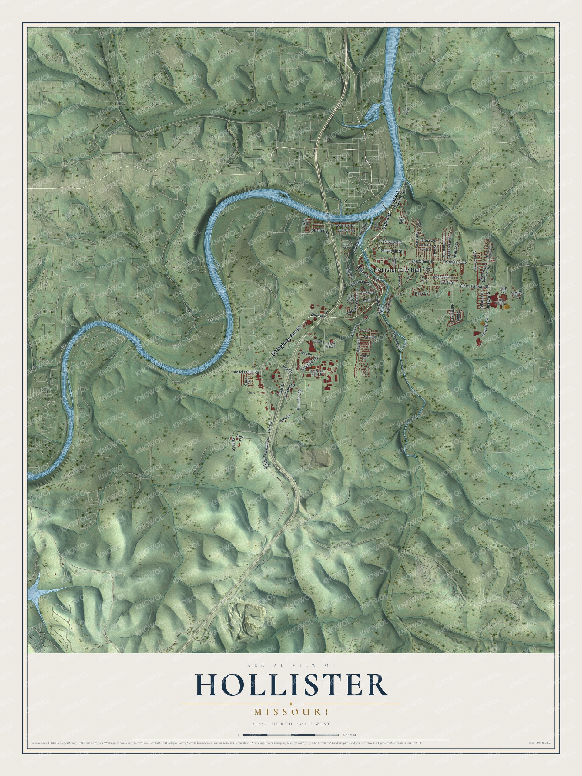
Created by KNOWOL in 2026, this print shows Hollister in soft greens and blues, with shaded hills, a winding river and small red buildings. The title panel reads "Aerial View of Hollister, Missouri" with the line 36°37' North 93°13' West.
It suits a living room, a den or an office wall. It's a good gift for someone who grew up near Hollister City Hall and moved away, or for a family that still drives Bus 65 every day. Open the preview and find your own street. See sizes and frames for the Hollister map.