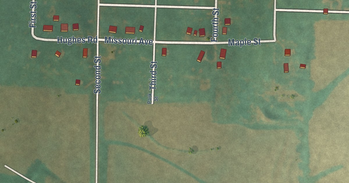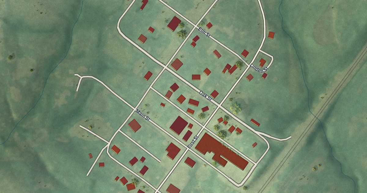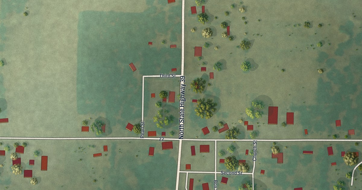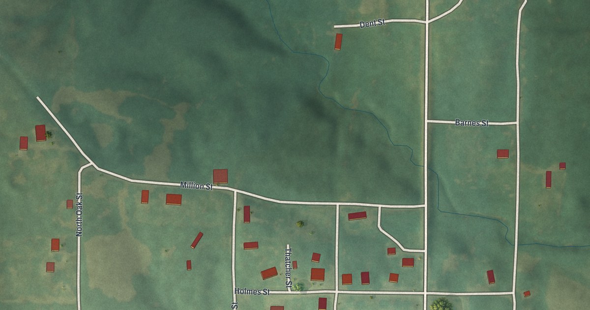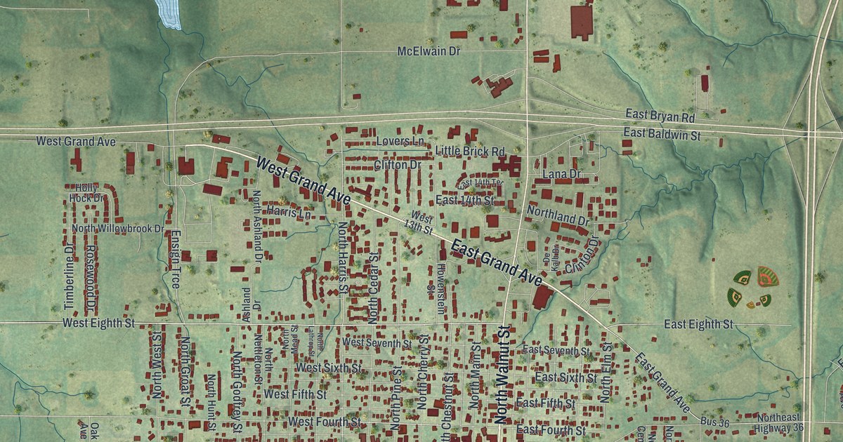
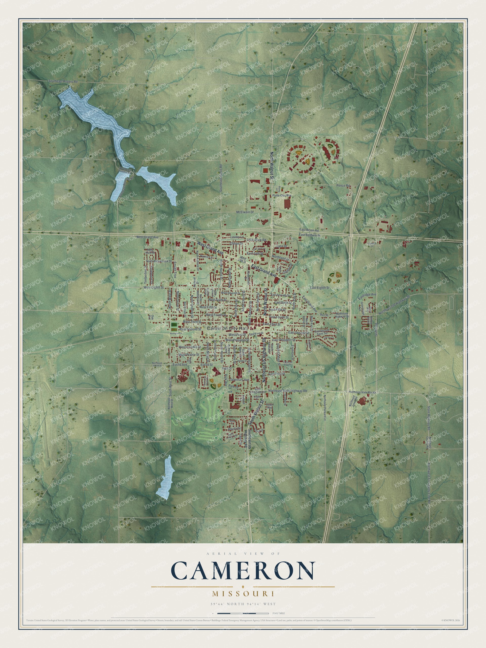
This beautifully detailed map of Cameron, Missouri was created in 2026 using aerial imagery combined with modern topographical, census, street and landmark data. It’s a one-of-a-kind view of Cameron that combines accurate data with a vintage aesthetic. The map shows every building in its true location, many of the roads carry their names, and the shaded topographic relief shows the shape of the land.
Explore an aerial view of Cameron, Missouri
On the map you’ll find Cameron City Hall, Northeast State Highway Bb, and Ensign Trce, along with North Walnut Street, Northeast US Highway 69, West Grand Avenue, East Grand Avenue, South Walnut Street, West Eighth Street, State Highway Bb, West First Street, West Fourth Street, and more. If you look closely you can even find your house accurately drawn in its correct location. Zoom in on the preview to look for yours.
Did you know this piece of Cameron, Missouri history?
Samuel McCorkle platted the town of Somerville in 1854. The Hannibal and St. Joseph Railroad said the land there was too steep for its tracks. So McCorkle laid out a new town 1.5 miles west and had the buildings moved there. He named it for his wife, whose maiden name was Malinda Cameron.
Take a closer look at the Cameron map
Street and place names on the Cameron, Missouri map
These names are printed on the map of Cameron, Missouri.
Places: Cameron City Hall.
Streets and roads: North Walnut Street, Northeast US Highway 69, West Grand Avenue, East Grand Avenue, South Walnut Street, West Eighth Street, Northeast State Highway Bb, Ensign Trce, State Highway Bb, West First Street, West Fourth Street, South Harris Street.
More street names, A to Z
Aerie Lane, Aquila Drive, Ashland Drive, Burlington Road, Bus 36, Cameron Villa Drive, Clifton Drive, Clinton Drive, Comfort Lane, Country Club Square Drive, Crimson Court, Dawn Avenue, De Kalb Drive, Dodge Street, Dugan Drive, Eagles Landing Parkway, East 14th Street, East 14th Terrace, East Baldwin Street, East Bryan Road, East Eighth Street, East Evergreen Street, East Fifth Street, East First Street, East Ford Street, East Fourth Street, East Prospect Street, Eastridge Avenue, East Second Saint Terrace, East Second Street, East Seventh Street, East Sixth Street, East Third Street, Euclid Avenue, Euclid Street, Greenridge Avenue, Griffin Road, Harris Lane, High Street, Holly Hock Drive, Howenstein Street, Kristen Street, Lana Drive, Little Brick Road, Lovers Lane, Maple Street, McElwain Drive, North Ashland Drive, North Cedar Street, North Center Street, North Cherry Street, North Chestnut Street, Northeast 352nd Street, Northeast County Road, Northeast Highway 36, Northeast Jones Road, Northeast Old Highway 36, Northeast Packard Lane, Northeast State Route Bb, North East Street, Northeast West Street, North Elm Street, North Godfrey Street, North Groat Street, North Harris Street, North Hunt Street, Northland Drive, North Lathrop Street, North Main Street, North Mead Street, North Nettleton Street, North Pine Street, North West Street, Northwest Tri-County Line Road, North Willowbrook Drive, Oak Avenue, Park Avenue, Park Drive, Pence Road, Penny Lane, Platte-Clay Way, Redbud Lane, Rosewood Drive, Sam Den Circle, Seminary Avenue, Short Avenue, South Cedar Street, South Cherry Street, South Chestnut Street, Southeast Harris Road, Southeast Reservoir Road, Southeast Rogers Road, Southeast Summit Road, Southeast US Highway 69, South Elm Street, South Lathrop Street, South Locust Street, South Mead Street, South Orange Street, South Pine Street, South West Street, Talon Drive, Timberline Drive, Wesleyan Terrace, West 13th Street, West Cornhill Street, West Fifth Street, West Prairie Street, West Prospect Street, West Second Street, West Seventh Street, West Sixth Street, West Third Street, Willow Wood.
See the Cameron, Missouri map on a wall
The Cameron map as an 18 x 24 inch print in a black frame.

This beautifully detailed map of Cameron makes an attractive addition to your office, library, or den, and it can even be used to teach children the geography and history of the area. It also makes a great gift for anyone who grew up in Cameron or moved away. When you’re done exploring, click here to get your copy of the Cameron map.