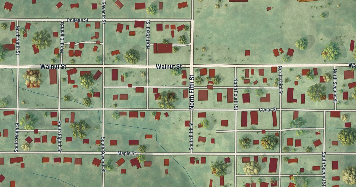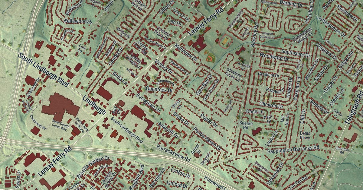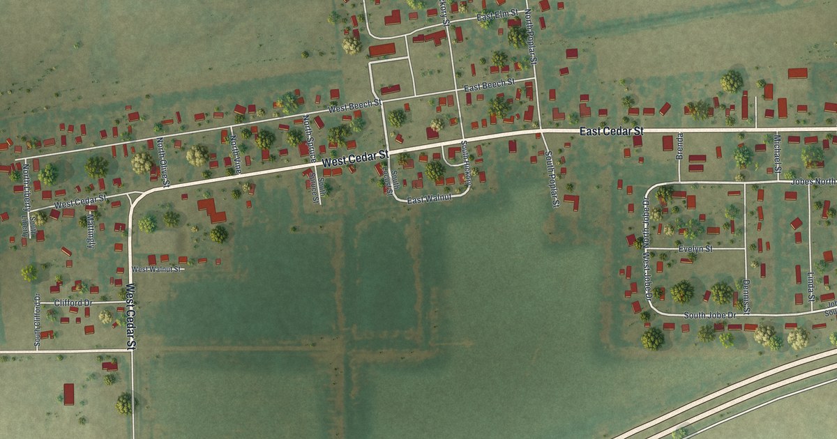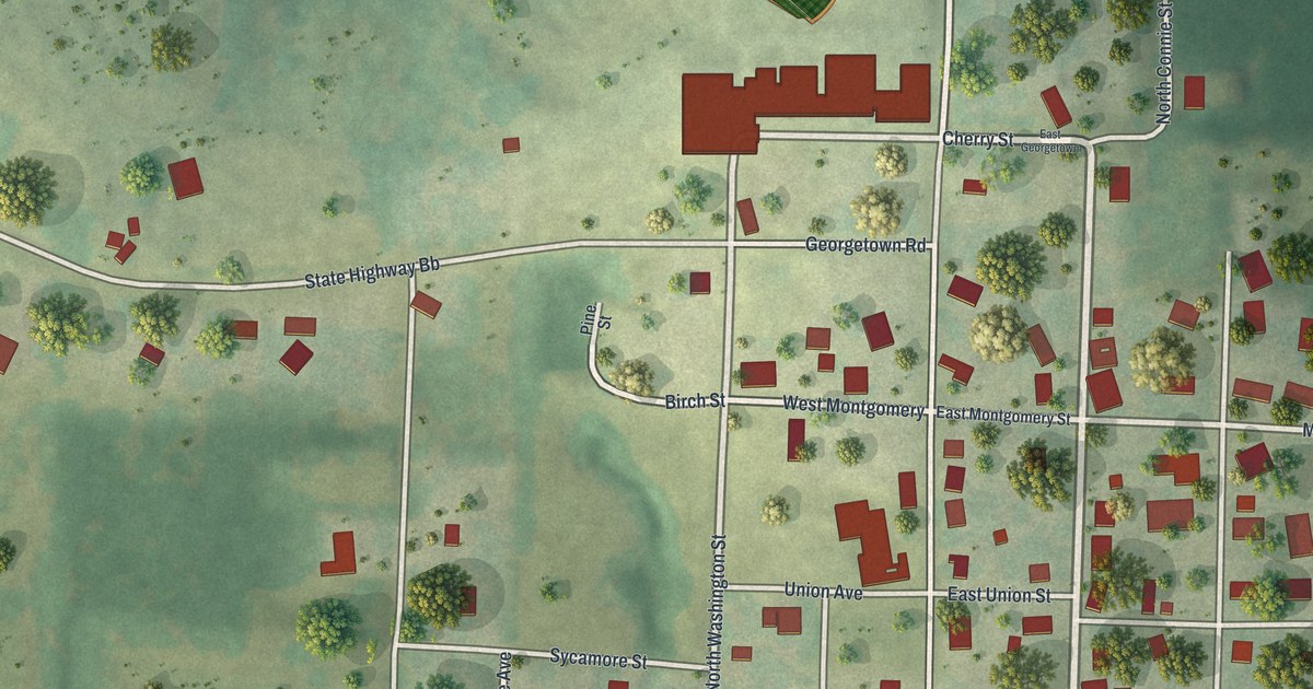
If you grew up in Canton, look for your old block. This aerial view of Canton in Lewis County, Missouri, is built from modern data and given a vintage feel. Red buildings fill the street grid beside a wide blue river. Green hills rise around the town's western streets.
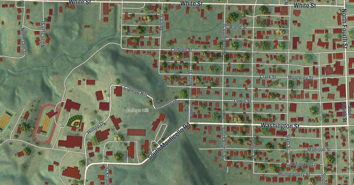
Washington Street, College Hill and more
On this map you'll find Washington Street, North Fourth Street, White Street, Lewis Street, College Street, North Front Street, Oak Street, South Monticello Road, College Hill, Martin Park, Forest Grove Cemetery, and more. Each red shape is a building, so zoom in on the preview and look for yours.
Canton's river setting is part of its long story. The historic Ramsay Place Names File describes Canton as a Mississippi River town. It also records a post office dating to 1853. On this view, the broad blue water borders the town's close rows of blocks. Look for North Front Street beside that river edge, with red buildings nearby.
Keep Canton and College Hill close
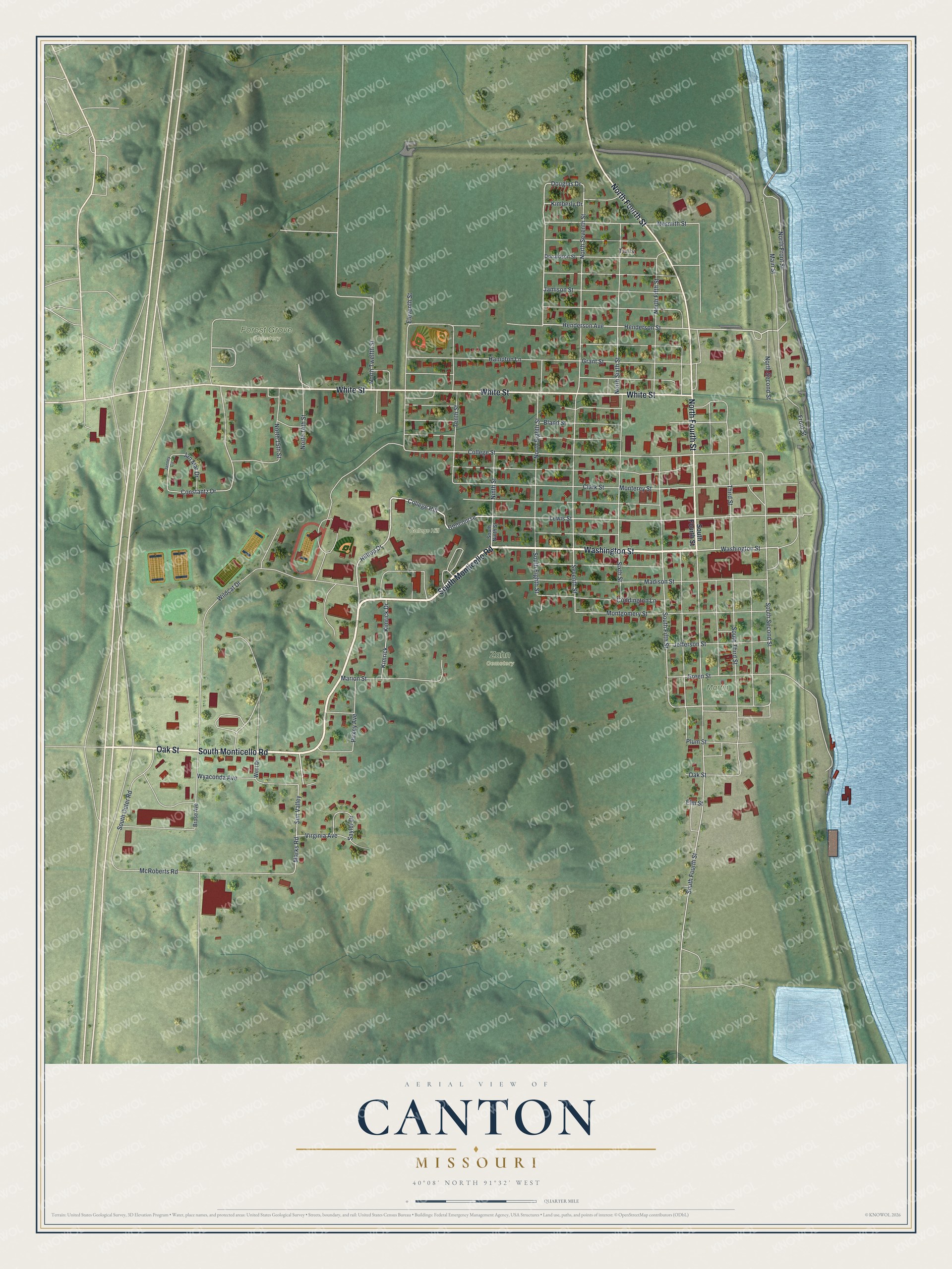
Created by KNOWOL in 2026, this print pairs soft green hills with blue water and red buildings. A cream border surrounds the view. The title panel reads AERIAL VIEW OF, CANTON, MISSOURI, with 40°08' NORTH 91°32' WEST below.
Hang it in a living room, home office or entryway. It's a thoughtful gift for someone who grew up near College Hill and moved away. Open the preview to find the streets you know, then picture it on your own wall. See sizes and frames for the Canton map.