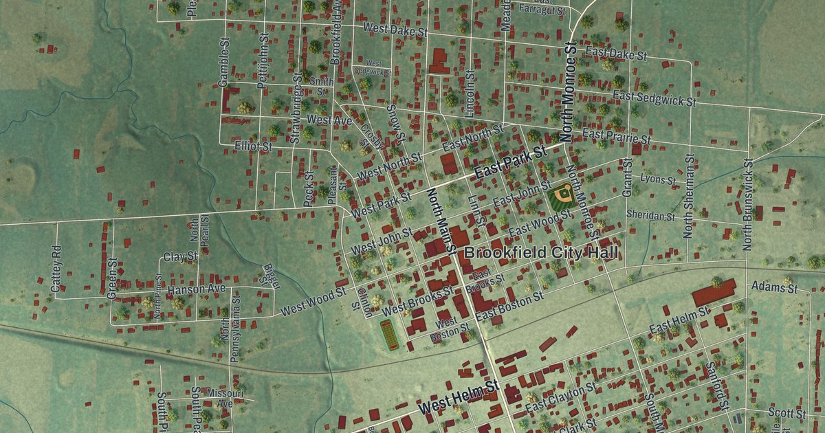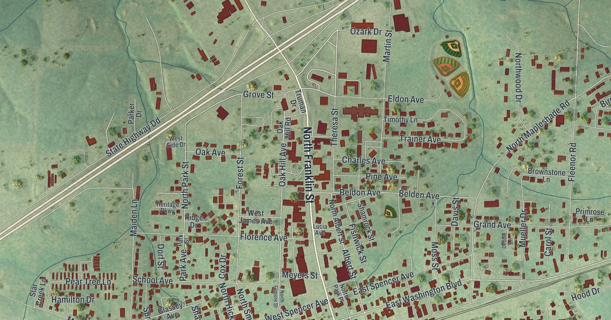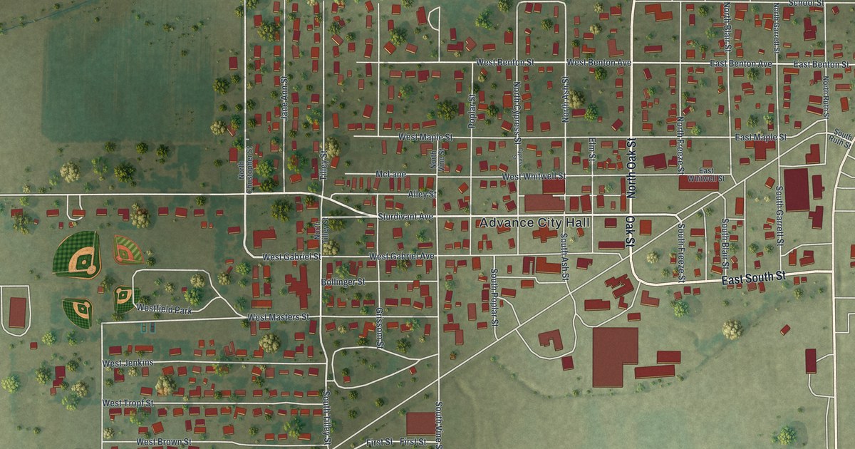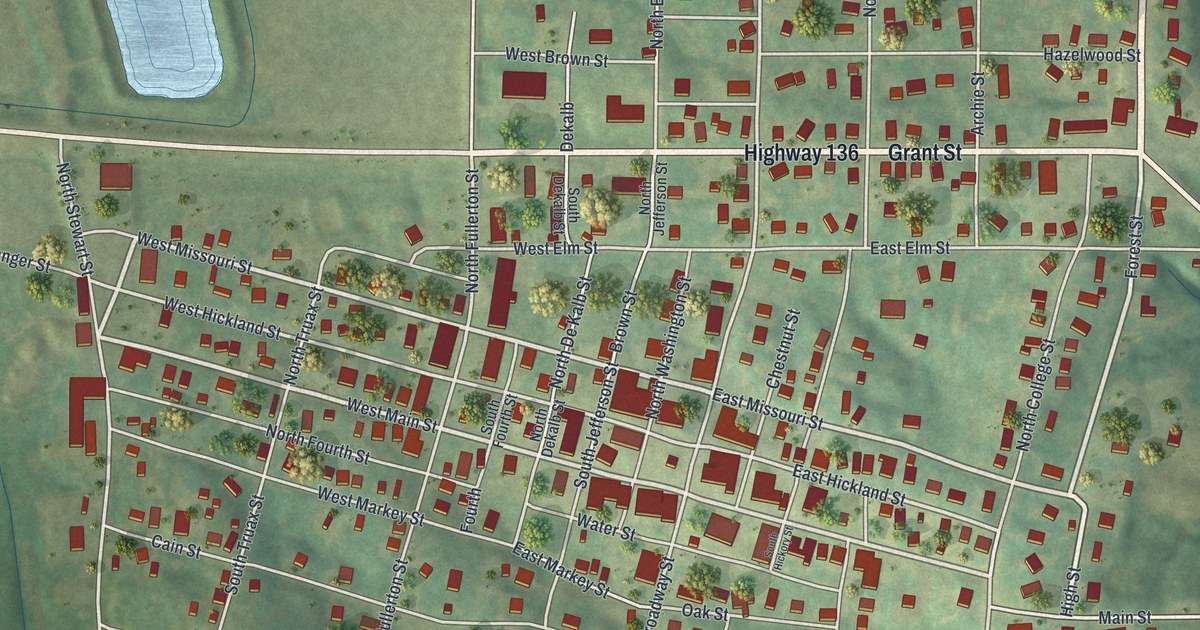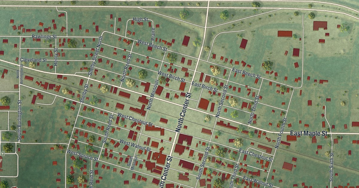
If you grew up in Shelbina or still have family on its streets, this map is a way to see your hometown whole. It's a modern aerial view of Shelbina in Shelby County, Missouri, made from modern data and given a vintage feel. Red buildings fill the grid of blocks around Center Street. Rail lines cross the north side of town, and open farm fields spread out on every side.
Center Street, Maple Street and more in Shelbina
On this map you'll find North Center Street, South Center Street, East Maple Street, West Maple Street, Shelby Street, Fair Ground Road, West College Street, East Chestnut Street, West Walnut Street, North Douglas Street, South Burlington Street, East Shelbina Avenue, Shelbina Cemetery, Saint Marys Cemetery, and more. Each red shape is a building, so zoom in on the preview and look for yours.
Bill Anderson's raid and the Shelbina Weekly Gazette
Shelbina went through hard times in the Civil War. The 1884 county history has a chapter on the years 1863 and 1864. Its list of events includes Bill Anderson's raid and the capture and plunder of Shelbina. The same chapter tells of the burning of the Salt River bridge. But the town kept going. On January 10, 1866, the first issue of the Shelbina Weekly Gazette came out. It was the first paper in Shelby County after the war. Look for Center Street in the middle of the map. The blocks around it are the heart of the town that lived through those years.
The Benjamin House on Shelby Street
Shelbina has a house on the National Register of Historic Places, too. The Benjamin House stands at 322 South Shelby Street. It was added to the list in 1972. Find Shelby Street on the map, and you'll know where to look.
A map of Shelbina to keep or to give
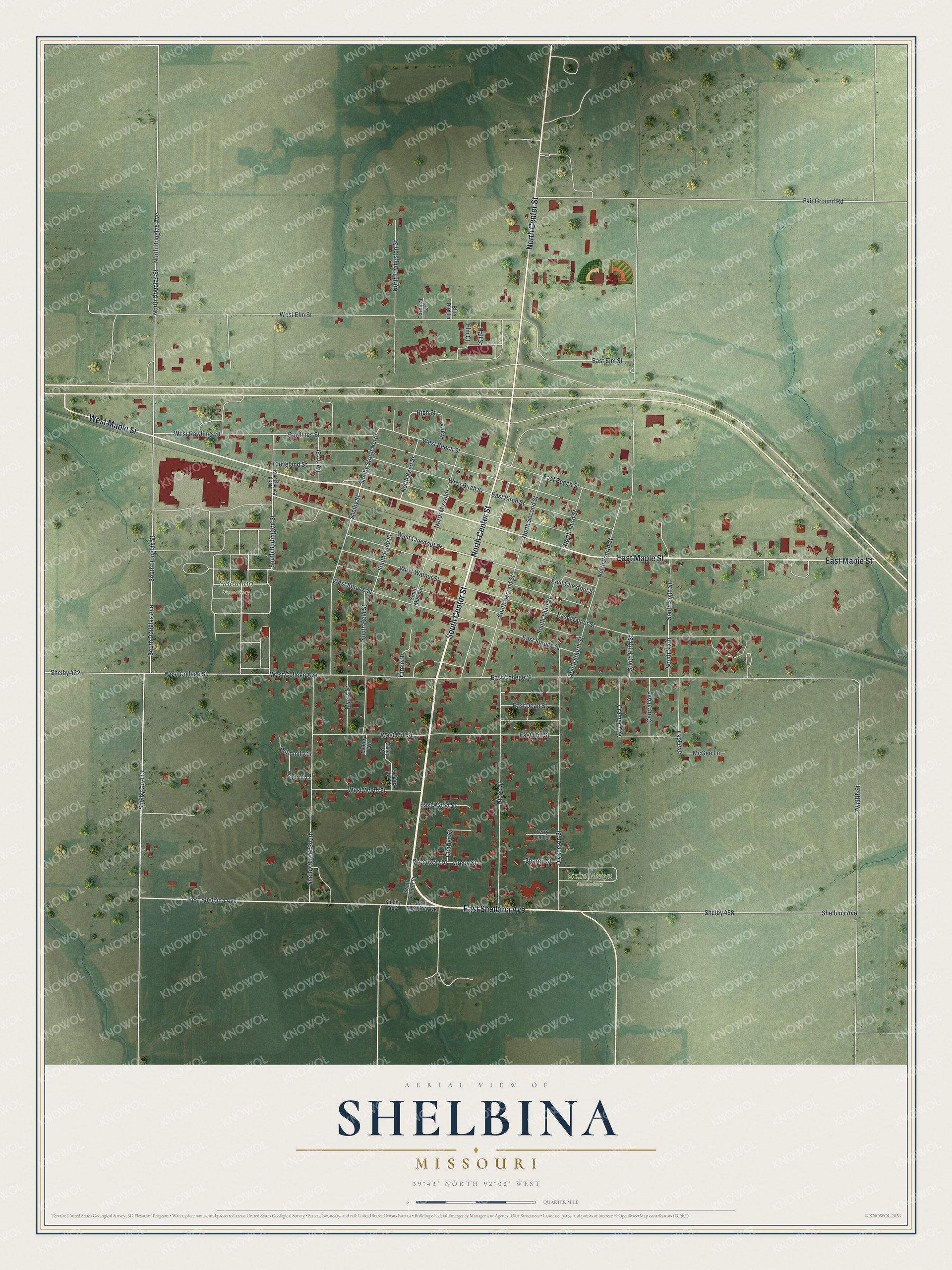
Created by KNOWOL in 2026. The print shows Shelbina from above in soft greens, with buildings in deep red and streets in thin white lines. The title panel at the bottom reads Aerial View of Shelbina, Missouri, with 39°42' North 92°02' West printed below it.
It fits well in a living room, a kitchen or a home office. It's a good gift for someone who walked to the shops on Center Street or grew up near Shelbina Cemetery and has since moved away. Open the preview and look for your own block. See sizes and frames for the Shelbina map.