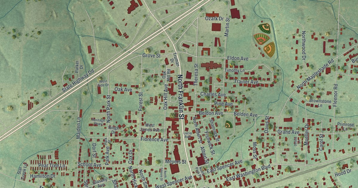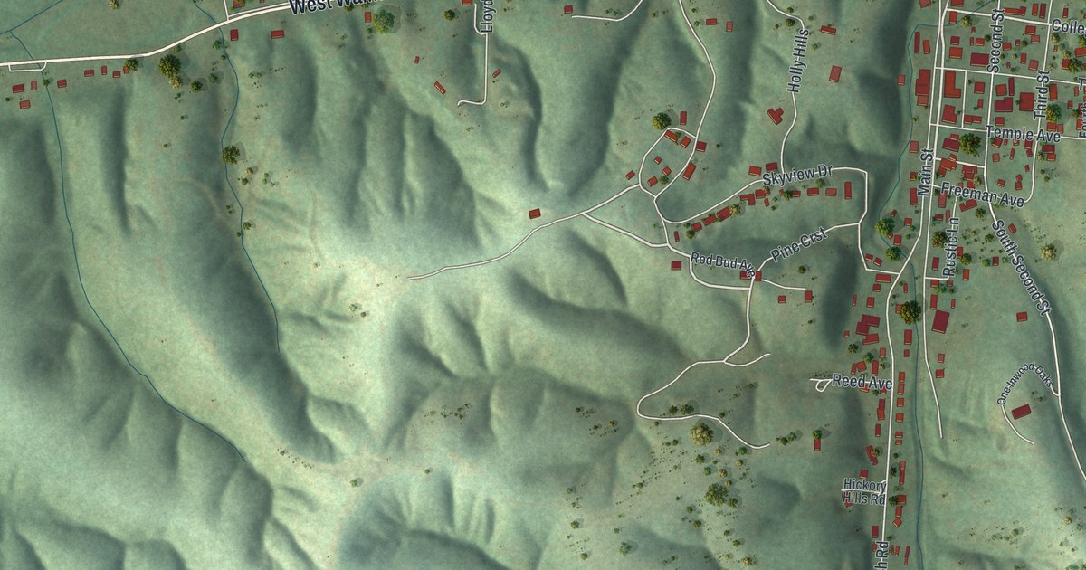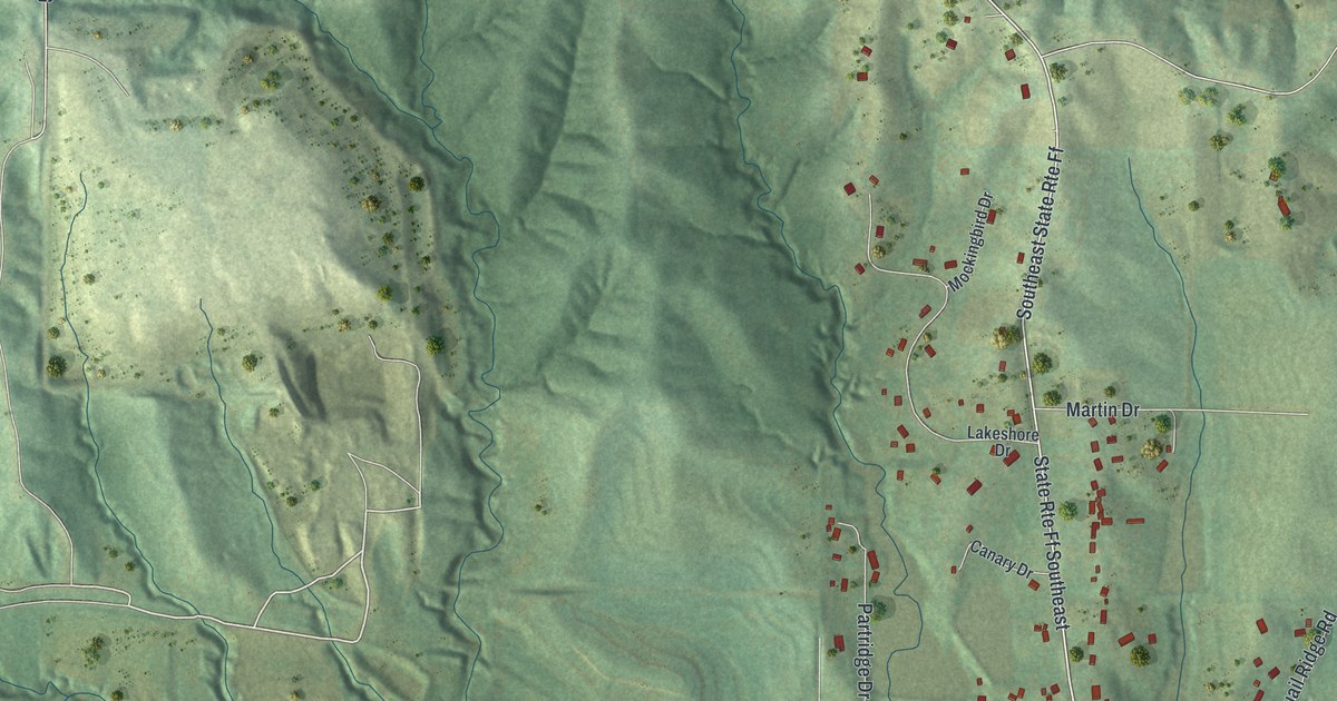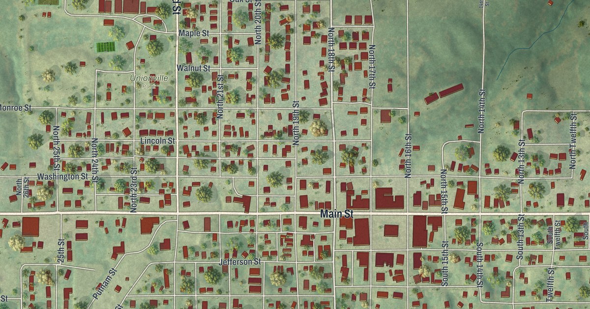
If you grew up in Unionville, or you ever walked Main Street past the square, this map was made for you. It's a modern aerial view of Unionville in Putnam County, Missouri, built from modern data and given a soft vintage look. Main Street runs straight across the sheet from west to east. Red buildings fill the blocks on both sides, and the busiest ones crowd close near the middle. Green hills roll out on every side, cut by winding creeks. Two ball diamonds and a running track sit on the south side of town, and blue water shows at the left edge.
The Unionville Square on Main Street
On this map you'll find Main Street, Grant Street, North 16th Street, South 17th Street, Putnam Street, Washington Street, Jefferson Street, Lincoln Street, Adams Street, Monroe Street, Garfield Street, Dewey Street, Maple Street, Walnut Street, Pleasantview Drive, and more. Each red shape is a building, so zoom in on the preview and look for yours.
The old square is the heart of Unionville. In 2002, the Unionville Square Historic District was added to the National Register of Historic Places. The district covers parts of Main Street, Grant Street, and the 16th and 17th streets. To find it on the map, look along Main Street where it meets North 16th Street and North 17th Street. The buildings there stand shoulder to shoulder, and they're bigger than the houses around them. Grant Street runs just to the south.
Union Township and the court-house in Unionville
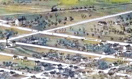
The town's records go back much further. Goodspeed's 1888 history of Putnam County tells how Union Township was set up. Its first meeting was set for the court-house in Unionville. The same book tells of Charles Golliher, who came to the county from Iowa in 1855. In 1888, it called him one of the oldest men living in Putnam County.
Keep Main Street in Unionville close
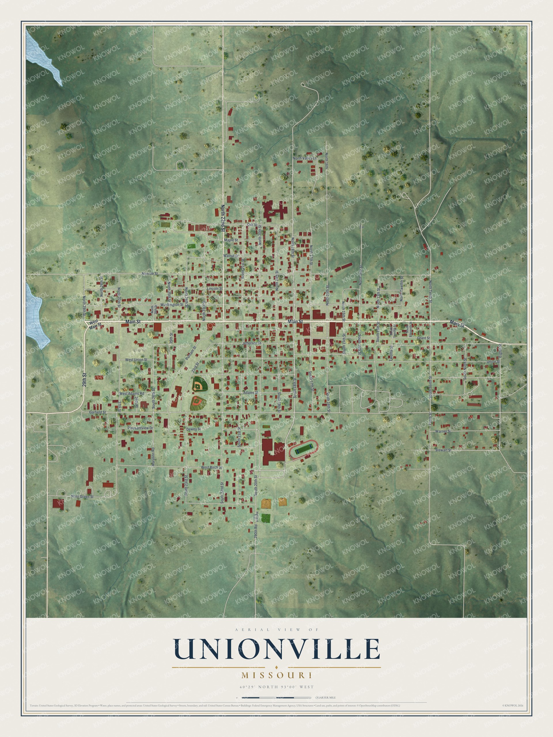
Created by KNOWOL in 2026, this print shows Unionville from above in soft greens, with red buildings, pale roads and gently shaded hills. The title panel at the bottom reads "Aerial View of Unionville, Missouri" with the coordinates 40°29' North 93°00' West.
It fits a living room, a kitchen or a home office. It's a good gift for anyone who moved away and still thinks of the square on Main Street. Open the preview, find your block, and see who you'd share it with. See sizes and frames for the Unionville map.