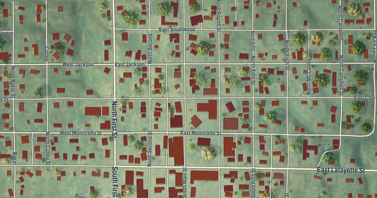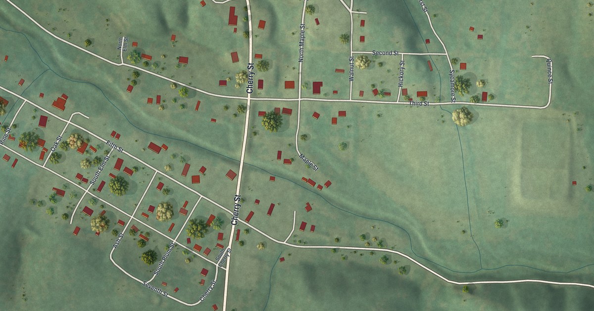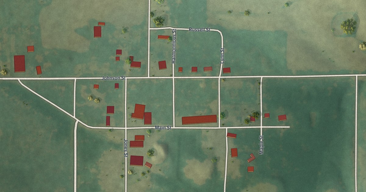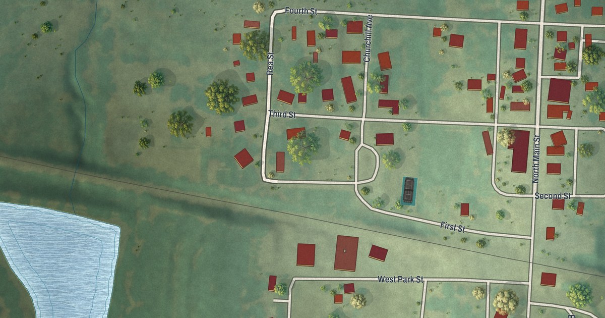
If you grew up on Main Street in Blackburn, or you still have family in town, this map is for you. It's a new aerial view of Blackburn in Saline County, Missouri, made from modern data and given a vintage look. You'll see red roofs along North Main Street, a thin rail line crossing town, Highway 20 and a pale blue pond near Lakeview Drive.
Blackburn was laid out on Quality Ridge in 1879
On this map you'll find Main Street, North Main Street, Highway 20, Hancock Street, High Street, Rea Street, Quality Ridge Drive, West Park Street, East Park Street, Chestnut Street, Walnut Street, Churchill Avenue, Guthrie Street, Lakeview Drive, and more. Each red shape is a building, so zoom in on the preview and look for yours.
Blackburn started with the railroad. The History of Saline County, printed in 1881, tells how. When the C. & A. railroad reached this spot, two men laid out the town. One was F. H. Blackburn, and the town is named for him. The other was P. H. Rea, of Marshall. That was in 1879. The book puts the town on Quality ridge, seventeen miles west of Marshall. It says Blackburn sat about halfway between the north and south lines of the county. Look on the map and you'll find Quality Ridge Drive. Rea Street shares a name with the man who helped lay out the town.
Blackburn's first store and first churches
In the spring of 1879, George A. Alkire built a house and opened the first store. He sold general goods. The Episcopal church was built in 1880 and named the Church of the Mediator. Its people had first gathered in 1856 at St. Thomas, now Waverly. The Christian Church came in 1881. By then the book called Blackburn "not merely a railroad station, but a live business town." It named Trent & Palmer's dry goods store on Main Street, a hardware store and a drug store.
For anyone who knows Main Street in Blackburn
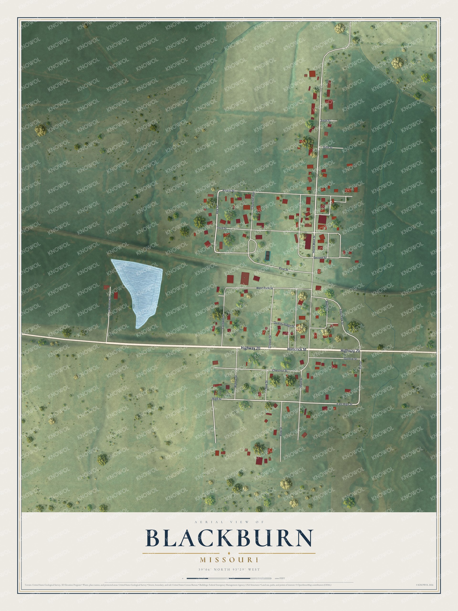
Created by KNOWOL in 2026, the print shows Blackburn from above in soft greens, with red buildings, white streets and a pale blue pond. The title panel reads "Aerial View of Blackburn, Missouri" above the coordinates 39°06' North 93°29' West.
It fits a kitchen, a front hall or a den. It makes a good gift for someone who grew up near Main Street and has since moved away. Open the preview and find the street you know. See sizes and frames for the Blackburn map.