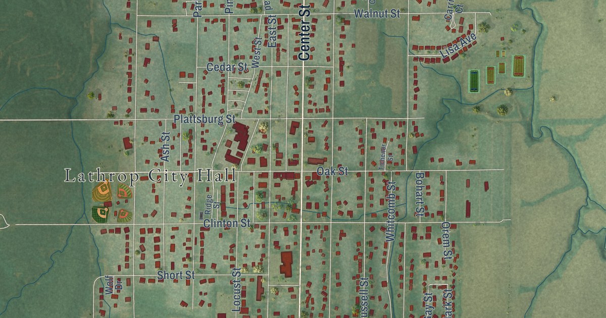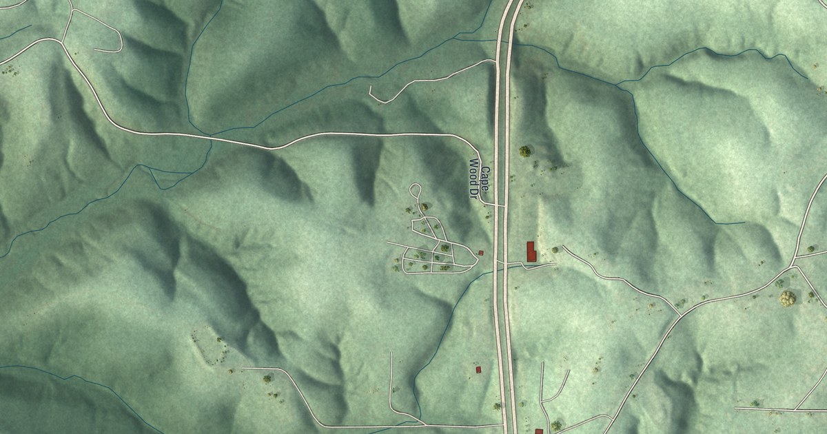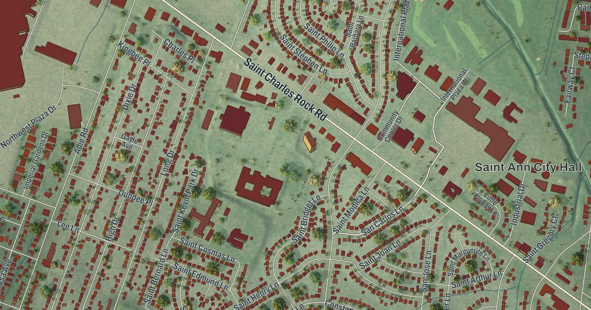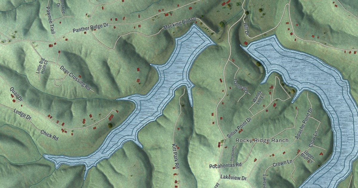
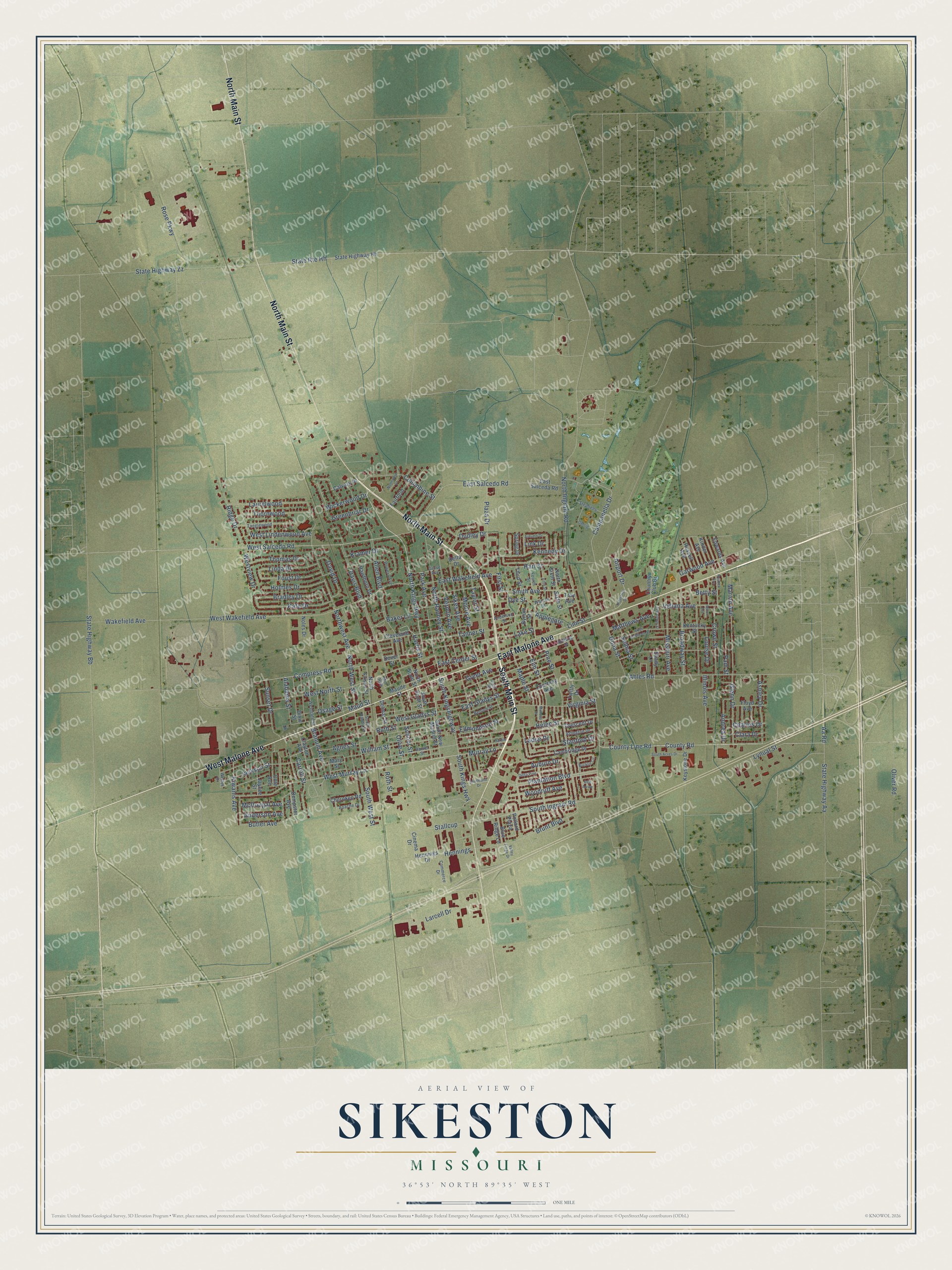
This beautifully detailed map of Sikeston, Missouri was created in 2026 using aerial imagery combined with modern topographical, census, street and landmark data. It’s a one-of-a-kind view of Sikeston that combines accurate data with a vintage aesthetic. The map shows every building in its true location, many of the roads carry their names, and the shaded topographic relief shows the shape of the land.
Explore an aerial view of Sikeston, Missouri
On the map you’ll find Stallcup, along with East Malone Avenue, South Main Street, North Main Street, West Malone Avenue, South Ingram Road, North Kings Highway, Plantation Boulevard, Harris Street, Auburn Drive, West Murray Lane, School Street, and more. If you look closely you can even find your house accurately drawn in its correct location. Zoom in on the preview to look for yours.
Did you know this piece of Sikeston, Missouri history?
John Sikes married into the Stallcup family and gained control of their land in 1859. In April 1860, he had a town platted there. He expected the Cairo and Fulton Railroad to cross the old King’s Highway at that spot. The city still bears his name.
Take a closer look at the Sikeston map
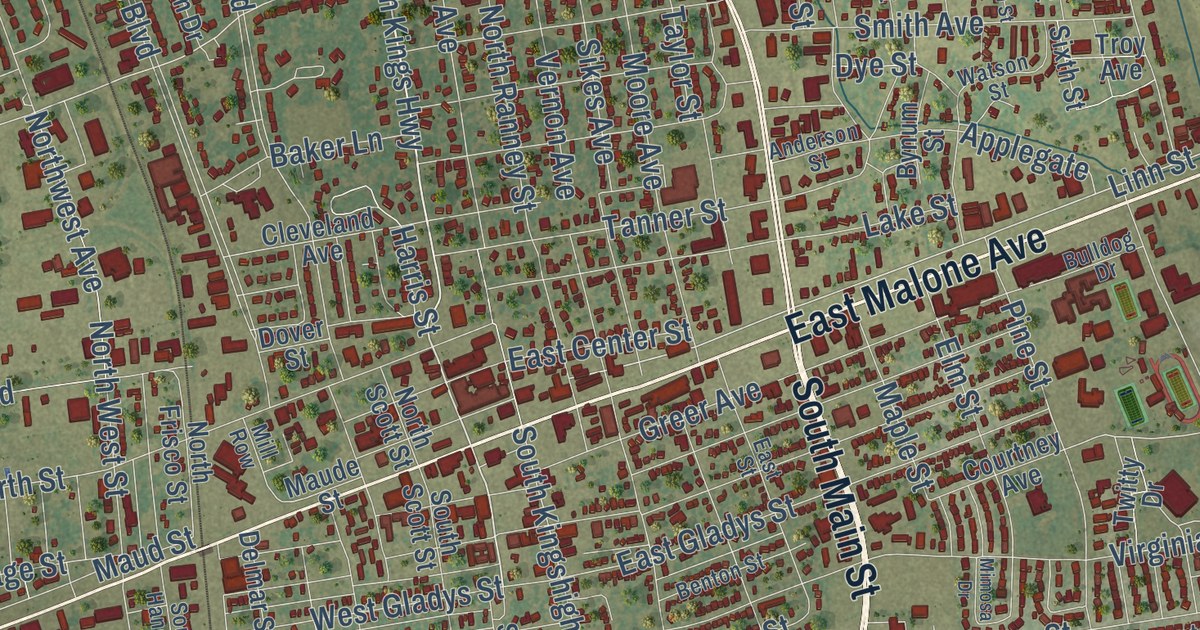
Street names on the Sikeston, Missouri map
These names are printed on the map of Sikeston, Missouri.
Streets and roads: East Malone Avenue, South Main Street, North Main Street, West Malone Avenue, North Kings Highway, South Ingram Road, West Murray Lane, Stallcup, Plantation Boulevard, Murray Lane, Campanella Drive, Linn Street.
More street names, A to Z
Aa Road, Ables Road, Agnes Street, Airport Drive, Alabama Street, Allen Boulevard, Anderson Avenue, Anderson Street, Andrea Drive, Apache Drive, Applegate, Arlington Drive, Ashley Drive, Auburn Drive, Autumn Drive, Baker Lane, Benton Street, Betty Street, Blue Ridge Lane, Bradley Drive, Branum Avenue, Broadway Street, Brunt Boulevard, Bucklin Circle, Bulldog Drive, Butler Avenue, Bynum Street, Calvary Drive, Cambridge Drive, Carroll Street, Charles Drive, Cherokee Road, Cinema Drive, Clara Drive, Clayton Avenue, Cleveland Avenue, Cole Avenue, Columbine Street, Commerce Drive, Compress Road, Country Club Drive, County Line Road, County Road, Courtney Avenue, Crescent Drive, Crowe Street, Daniel Street, David Drive, Davis Boulevard, Delmar Street, Delta Drive, Delta Pine, Dempster Avenue, Dixie Street, Dona Street, Dover Street, Dudley Drive, Dye Street, East Center Street, East Gladys Street, East Kathleen Street, East Salceda Road, East Salcedo Road, East Street, East Wakefield Avenue, Edmondson Street, Edwards Avenue, Elm Street, Fairfield, Fifth Street, First Street, Floyd Avenue, Fourth Street, Foust Drive, Garwood Avenue, Gehrig, Glenn Drive, Greenbriar Drive, Greer Avenue, Grove Avenue, Hardin Street, Harris Street, Hart Street, Hawthorn Drive, Helen Street, Hennings, Hennings Drive, Holmes Drive, Illinois Avenue, Indiana Avenue, Industrial Drive, Jackson Street, Jaycee Street, Kate Drive, Kennedy Drive, Kentucky Street, Keystone Drive, Kinder Avenue, Kiwanis Avenue, Kramer Drive, Ladue Drive, Lake Street, Larcell Drive, Laurelwood, Linda Drive, Link Drive, Louise Drive, Lynual Street, Maple Street, Marion Avenue, Mary Street, Matthews Avenue, Maude Street, Maud Street, McDougal Avenue, Miller Avenue, Mill Row, Mimosa Drive, Missouri Avenue, Moore Avenue, Noles Drive, Northfield Court, North Frisco Street, North Ingram Road, North Ranney Street, North Scott Street, North Sixth Street, Northwest Avenue, North West Street, Oliver Road, Olive Street, Osage Street, Pam Street, Park Avenue, Petroleum Street, Pine Street, Plaza Drive, Pollard Plaza, Powers Avenue, Red Arrow, Reuben Avenue, Ridge Drive, Rose Parkway, Roth Street, Russell Avenue, Ruth Street, School Street, Selma Street, Shady Lane, Sikes Avenue, Sixth Street, Smith Avenue, South Acres Drive, South Handy Street, South Kingshighway, South Kings Highway, Southland Drive, South New Madrid Street, South Scott Street, South West Street, Spring Drive, Stanford Drive, State Highway Aa, State Highway Bb, State Highway Hh, State Highway Zz, State Route Hh, Stephens, Sunset Drive, Tanglewood, Tanner Street, Taylor Street, Third Street, Thomas Drive, Thornwood, Troy Avenue, Twitty Drive, Valley Forge Drive, Vernon Avenue, Virginia Street, Wakefield Avenue, Watson Street, Welter Drive, Westgate Street, West Gladys Street, West Lindenwood Avenue, West North Street, West Salcedo Road, Westview Drive, West Wakefield Avenue, Wickerwood Drive, William Street, Woodruff Avenue.
See the Sikeston, Missouri map on a wall
The Sikeston map as an 18 x 24 inch print in a black frame.

This beautifully detailed map of Sikeston makes an attractive addition to your office, library, or den, and it can even be used to teach children the geography and history of the area. It also makes a great gift for anyone with Sikeston roots. When you’re done exploring, click here to get your copy of the Sikeston map.