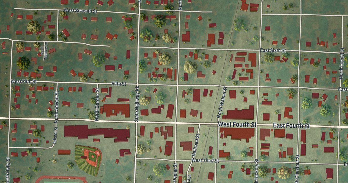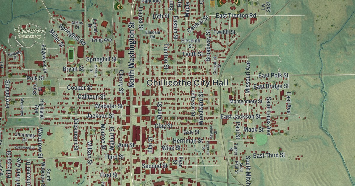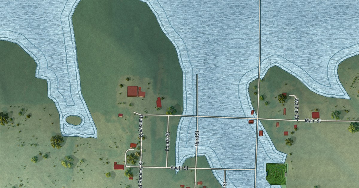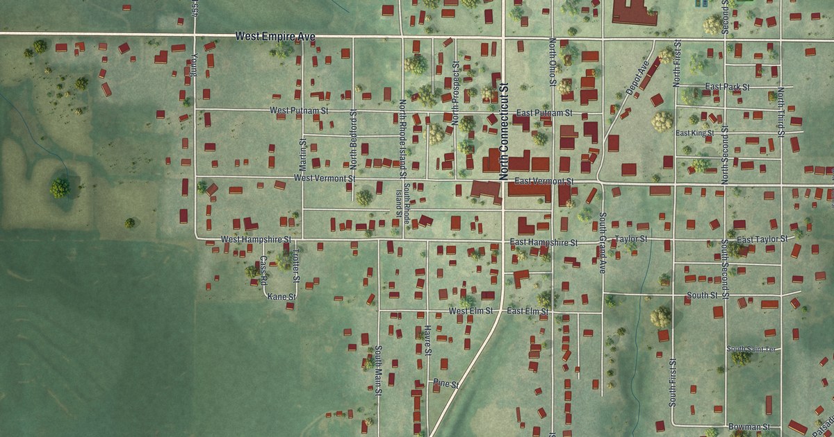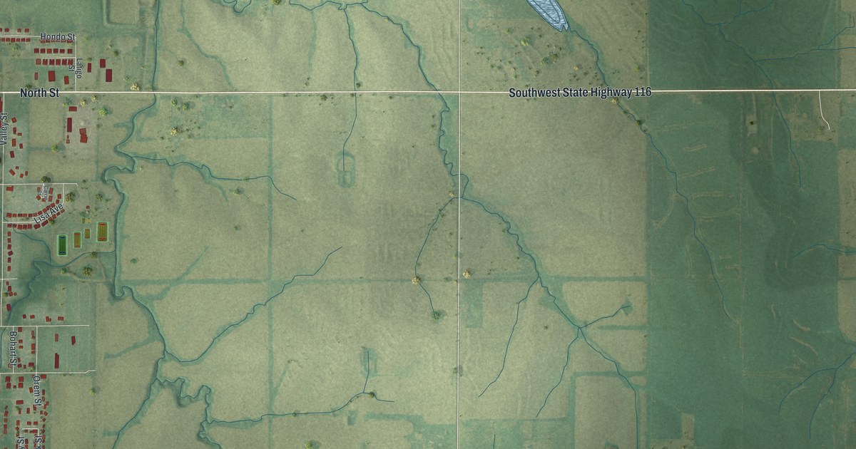
If you grew up on Center Street or still drive Southwest State Highway 116 past the farm fields, this map is for you. It's a modern aerial view of Lathrop in Clinton County, Missouri, with a vintage feel, drawn from modern data. The town sits on the left side of the sheet, a tight grid of red buildings around Lathrop City Hall. East of town, open fields stretch out, laced with little blue creeks. A blue lake sits near the top, and a long double line cuts across the right side.
The first farm near Lathrop City Hall
On this map you'll find Center Street, North Street, South Street, Plattsburg Street, Oak Street, Pine Street, Maple Street, Walnut Street, Clinton Street, Railroad Drive, Swim Club Drive, Lathrop City Hall, Northeast Breckenridge Road, Southeast Mule Barn Road, and more. Each red shape is a building, so zoom in on the preview and look for yours.
Lathrop started as farm country. A 1923 county history says the first farm near what is now Lathrop was settled in 1857 by James Leake. The same book says the first school in Lathrop Township was taught by Charles Ingles. His class met at the Brooking school house, about five miles east of town. Look at the wide green fields to the right of the town grid. That's the kind of land those first families worked.
Stock raisers with a Lathrop post office
By 1881, many farmers in the area got their mail at the Lathrop post office. An 1881 history of Clinton County has a sketch of many of them. Adam A. Breckenridge was one. He was a farmer and stock raiser from Kentucky. He moved to Clinton County in 1874 and owned 460 acres of good land. Today Northeast Breckenridge Road runs near the top left corner of the map and shares his family's name.
Center Street and Lathrop City Hall on your wall
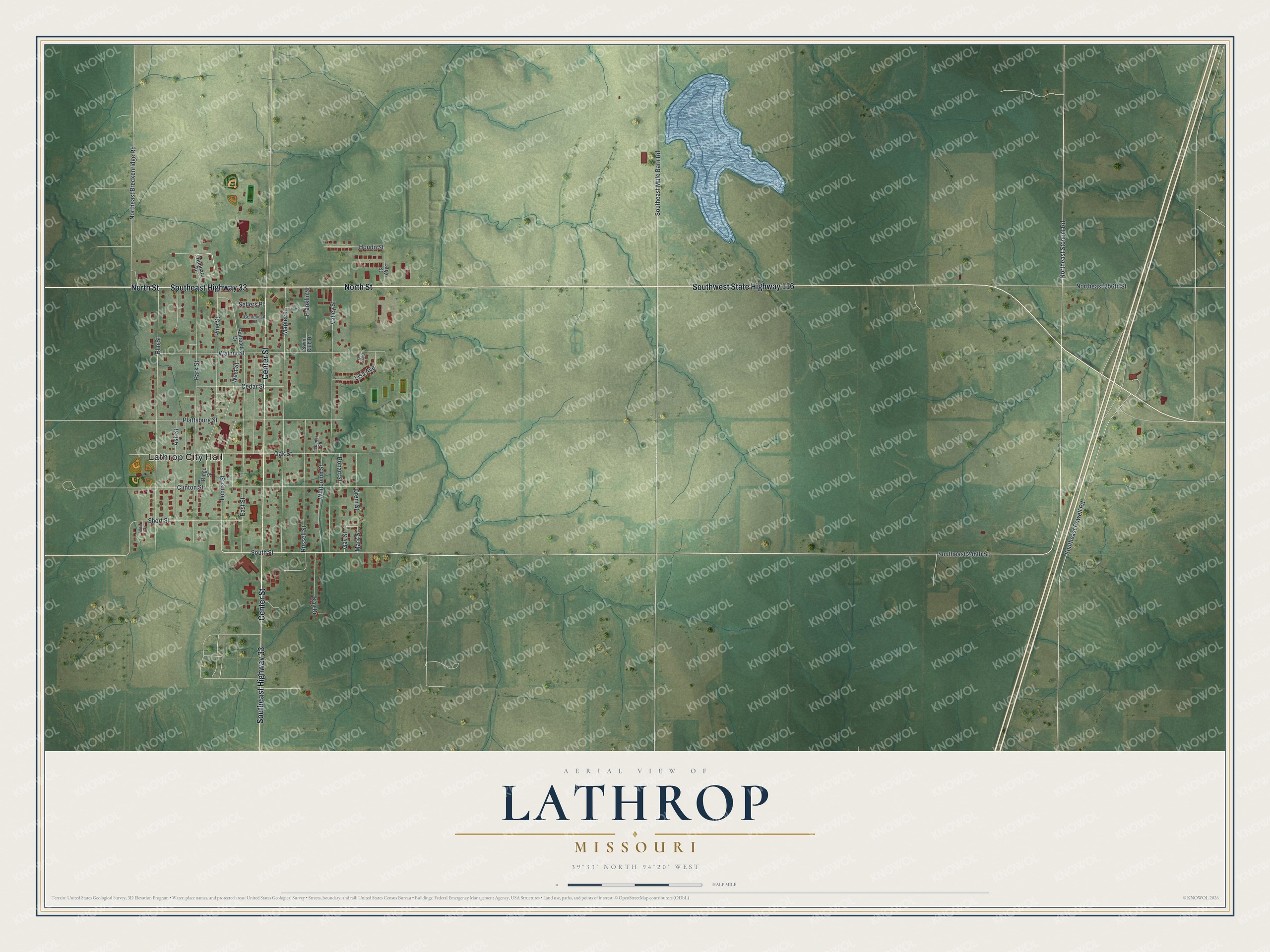
Created by KNOWOL in 2026, this print shows Lathrop from above in soft greens, with shaded hills, blue creeks and a blue lake. Buildings are small red shapes, and street names are printed in fine type. The title panel reads "Aerial View of Lathrop, Missouri" with the coordinates 39°33' North 94°20' West.
It fits a living room, a kitchen, a farm office or a hallway by the front door. It's a good gift for anyone who grew up a few blocks from Lathrop City Hall and moved away. Open the preview and find the streets you know. See sizes and frames for the Lathrop map.