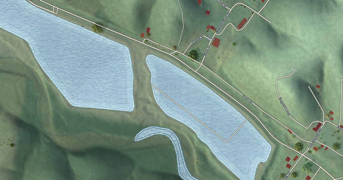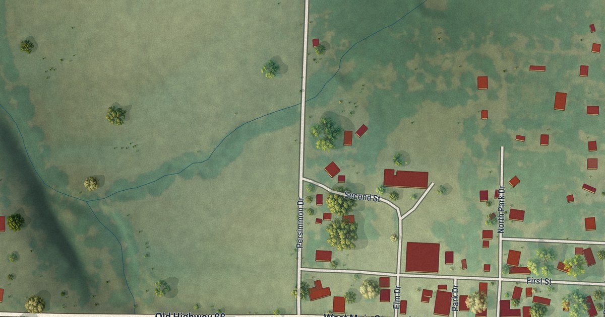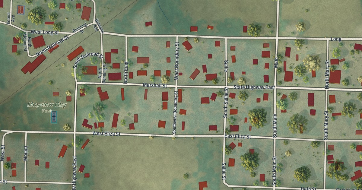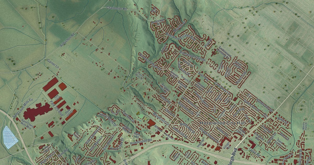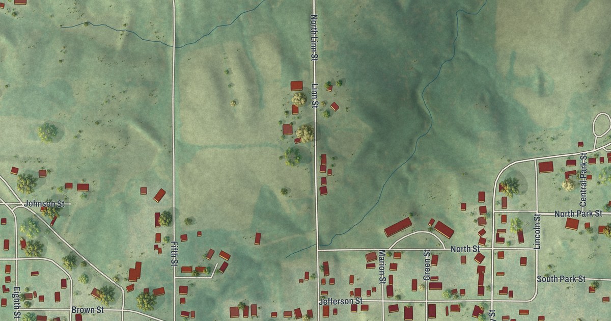
If you grew up in Lancaster, or you still have family near the Schuyler County Courthouse, this map is for you. It's a modern aerial view of Lancaster in Schuyler County, Missouri, made from modern data and given a vintage look. The town sits in soft green hills with small creeks winding through the fields. Red buildings line the streets, and the printed names help you find your way around.
James Cochrane and the first court in Lancaster
On this map you'll find Washington Street, Jackson Street, Jefferson Street, Liberty Street, Madison Street, Monroe Street, Marion Street, Linn Street, Lincoln Street, Grant Street, North Park Street, Romar Drive, Four Corners Road, Free Throw Lane, Jaycee Park, and more. Each red shape is a building, so zoom in on the preview and look for yours.
Lancaster's story starts with a court that moved into town. In its early days, the county court met at a house about a mile and a half northeast of where Lancaster now stands. It stayed there through the July term of 1845. Then it moved to the home of James Cochrane. His house stood in what's now the southeast part of Lancaster. The court held its first term there late that same month, as Goodspeed's 1888 history of the county tells it.
The first grocery on the Lancaster square
Cochrane did more than host the court. He opened the town's first grocery in a one-story log house. It stood on the southeast corner of the public square. In October 1846, the county court gave him a license to keep a tavern at his house. He paid a fee to both the state and the county for it.
On the map, the red buildings pack closest together along Washington Street, near Jackson Street and Liberty Street.
Washington Street and home in Lancaster
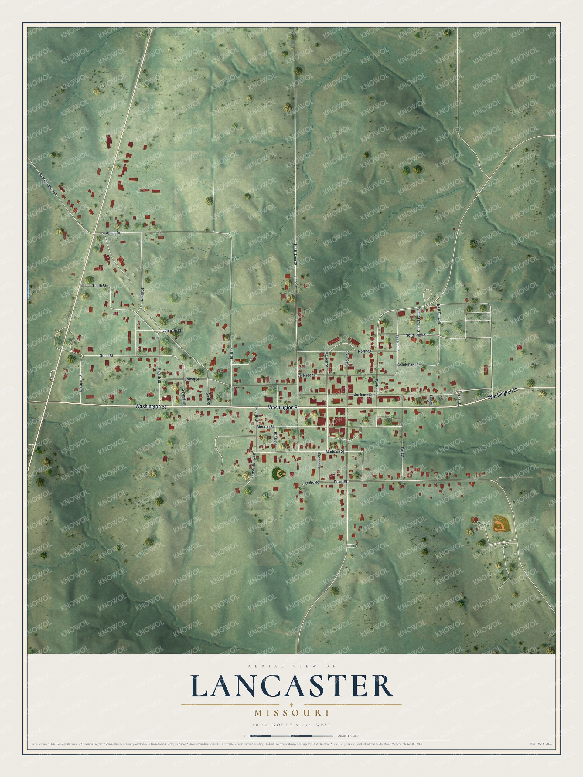
Created by KNOWOL in 2026, this print shows Lancaster in green hills, with red buildings and pale roads. The title panel reads "Aerial View of Lancaster, Missouri" with 40°32' North 92°32' West set beneath it.
It fits well in a living room, a kitchen or a home office. It's a good gift for anyone who grew up near the Schuyler County Courthouse and has since moved away. Open the preview and find your own street. See sizes and frames for the Lancaster map.