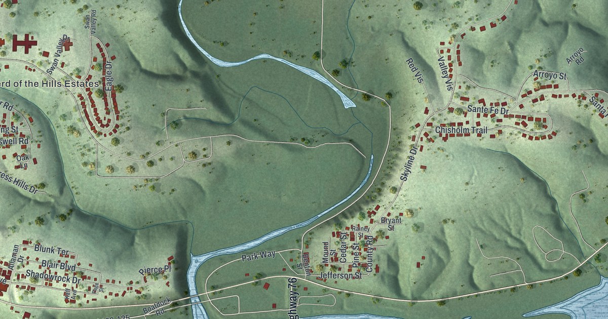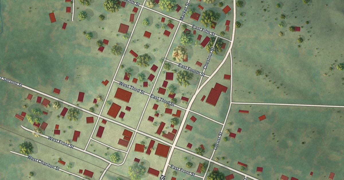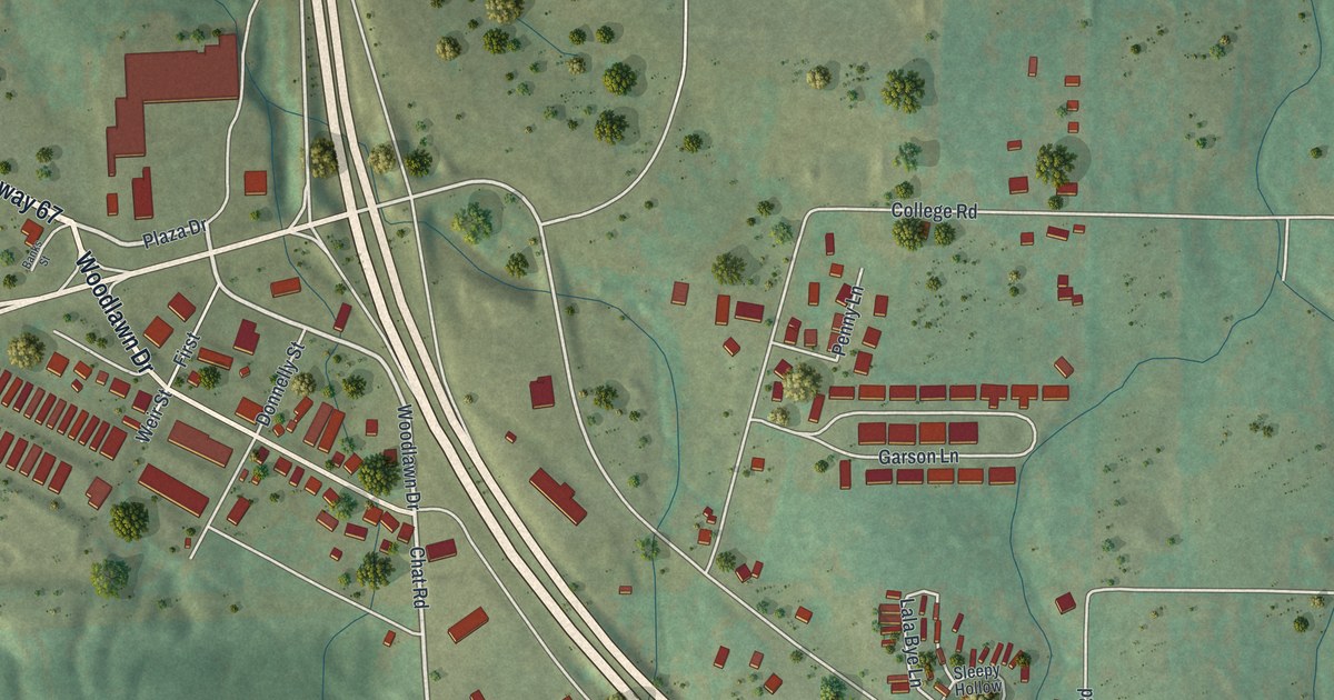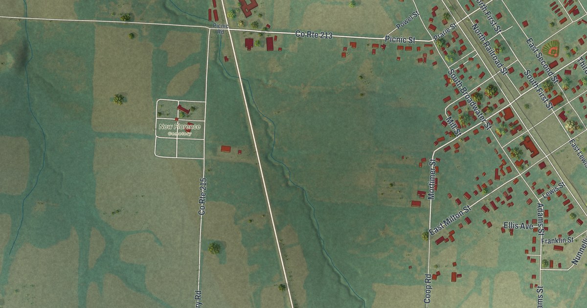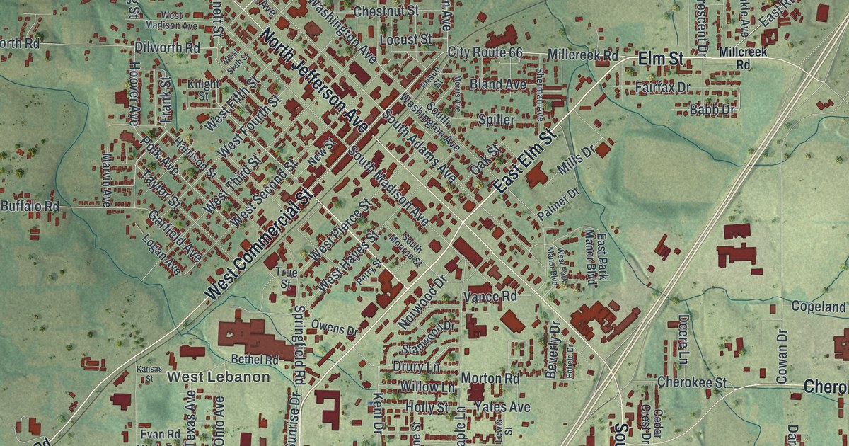
If you grew up in Lebanon or still shop along West Commercial Street, this map was made with you in mind. It's a new aerial view of Lebanon in Laclede County, Missouri, built from modern data and given a vintage look. Downtown sits in the middle, where the streets fan out in a tight grid of red buildings. Neighborhoods spread south toward Nelson Park, and green, rolling hills wrap around every side.
How Lebanon, Missouri got its name
On this map you'll find West Commercial Street, Elm Street, North Jefferson Avenue, South Jefferson Avenue, City Route 66, Harwood Avenue, South Adams Avenue, Cherokee Street, Millcreek Road, Nelson Park, Atchley Park, Harke Park, Lebanon Cemetery, Mount Rose Memorial Park, West Lebanon, and more. Each red shape is a building, so zoom in on the preview and look for yours.
Lebanon is named after another town. Many of its first settlers came from Lebanon, Tennessee. The story goes that the town was named for the place many of them had come from. The State Historical Society of Missouri keeps this story in its old file of place names. That name now runs in large letters across the bottom of the print, and West Lebanon sits just left of downtown.
Historic buildings near West Commercial Street
Some of the town's older buildings are on the National Register of Historic Places. The Joe Knight Building stands at 201 W. Commercial St. The Rice-Stix Building is at 200 E. Commercial St. The Laclede County Jail, at Adams and Third Streets, is listed too. On Harwood Avenue, two homes made the list: the Wallace House and the Ploger-Moneymaker Place. The Ralph E. Burley House on South Adams Avenue rounds out the group.
Keep Nelson Park and Commercial Street close
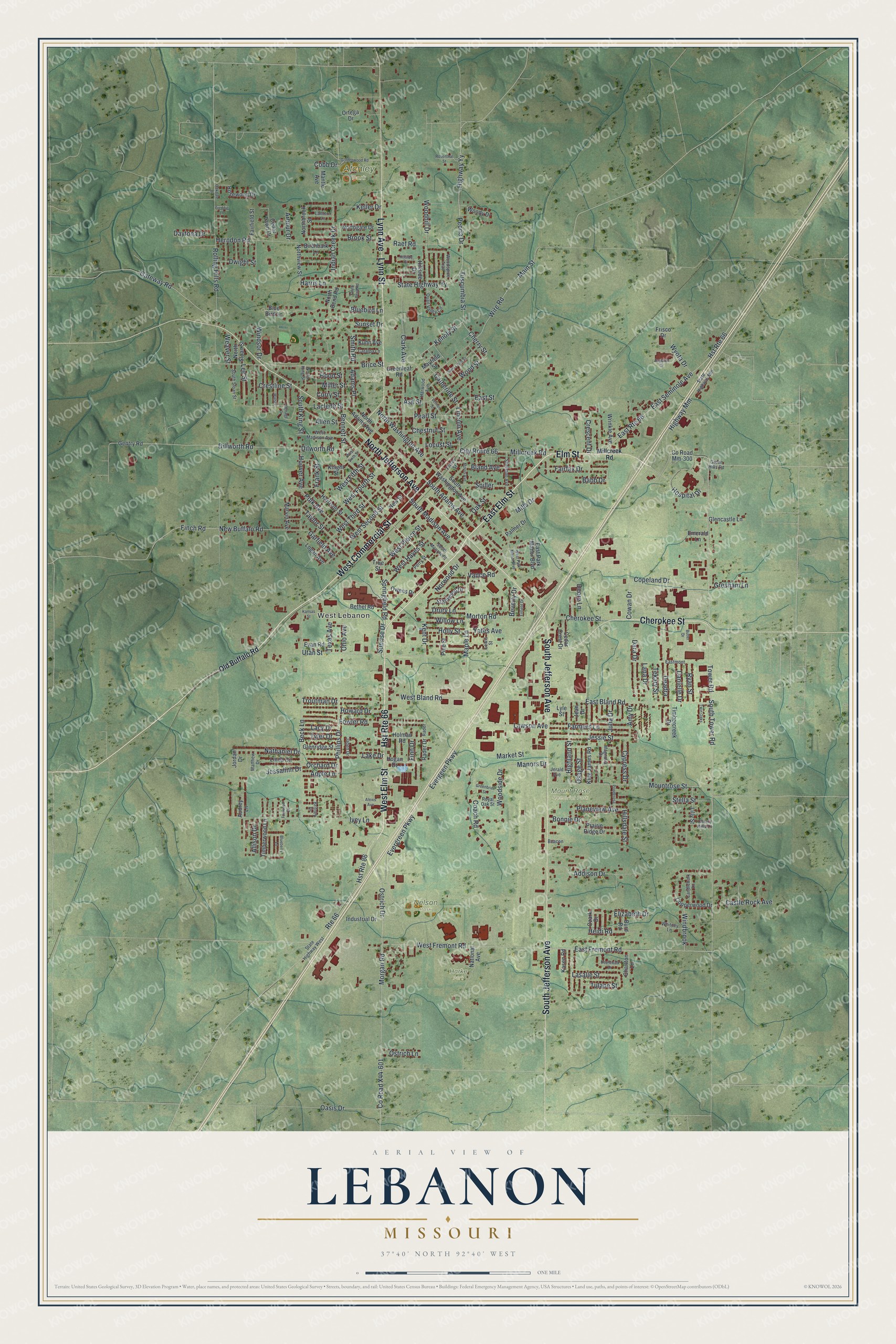
Created by KNOWOL in 2026, this print shows red buildings and pale streets over soft green, shaded hills. The title panel reads Aerial View of Lebanon, Missouri, with 37°40' North 92°40' West printed below.
It fits well in a living room, a hallway or a home office. It's also a kind gift for someone who grew up near Nelson Park and has since moved away. Open the preview and find your street. See sizes and frames for the Lebanon map.