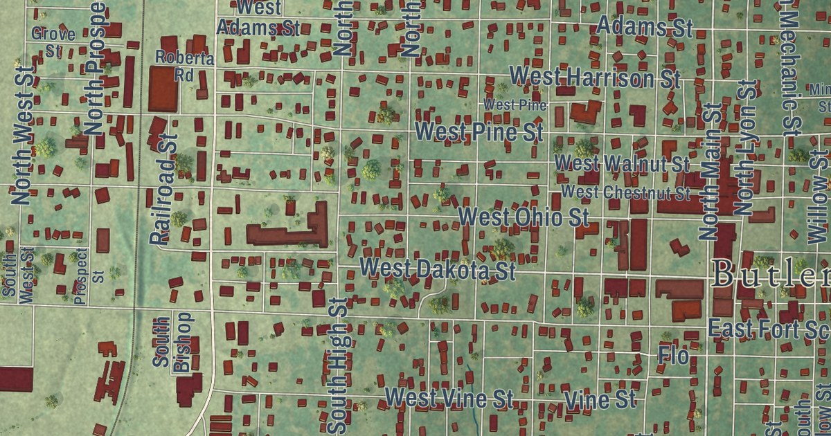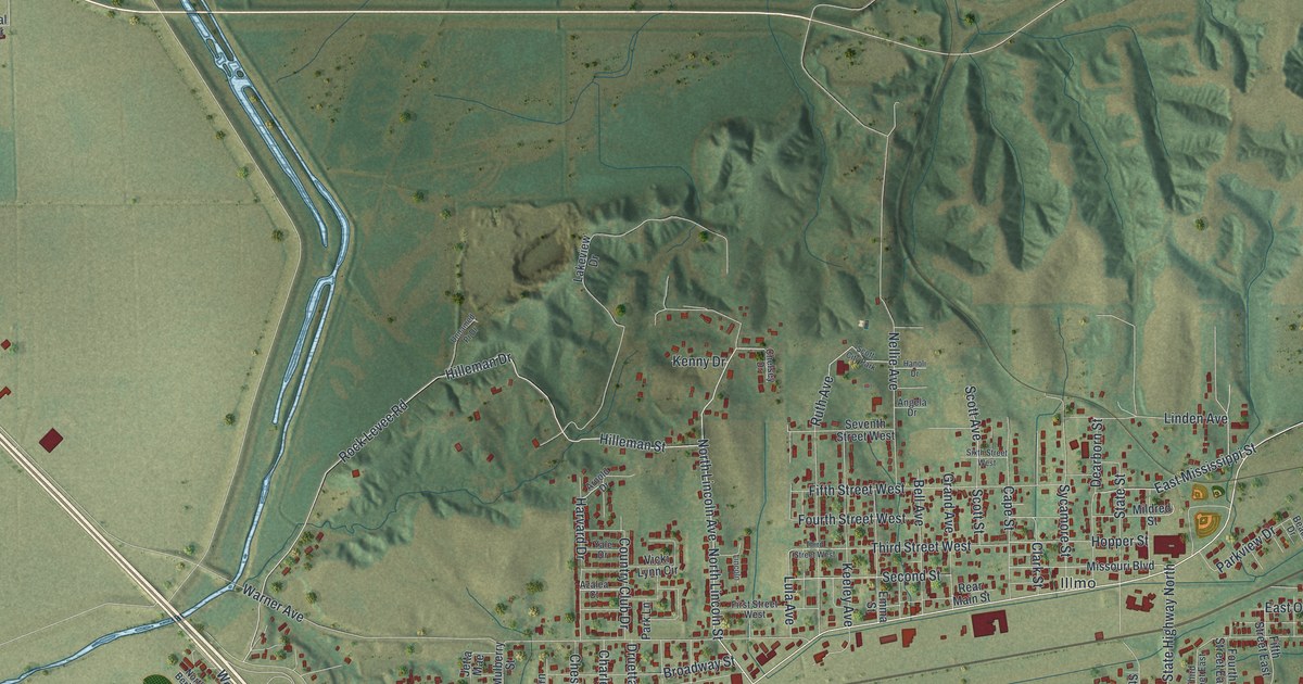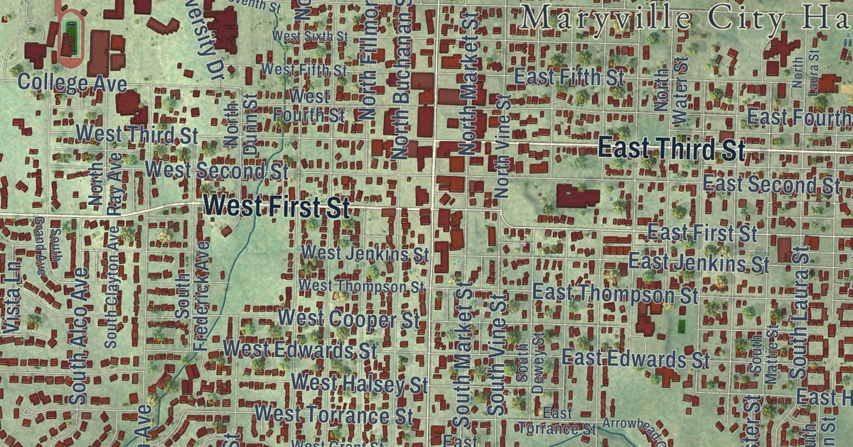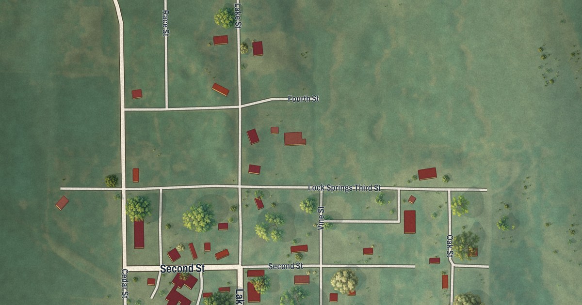
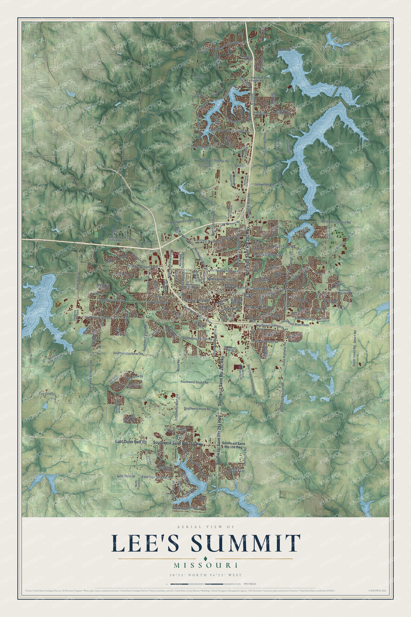
This beautifully detailed map of Lee’s Summit, Missouri was created in 2026 using aerial imagery combined with modern topographical, census, street and landmark data. It’s a one-of-a-kind view of Lee’s Summit that combines accurate data with a vintage aesthetic. The map shows every building in its true location, many of the roads carry their names, and the shaded topographic relief shows the shape of the land.
Explore an aerial view of Lee’s Summit, Missouri
On the map you’ll find Lee’s Summit City Hall, Legacy Park, Longview, and South Lee, along with East Outer Belt Road, Southwest Ward Road, Northeast Todd George Parkway, Northwest Blue Parkway, Northeast Todd George Road, Northeast Lakewood Way, Southeast Ranson Road, and more. If you look closely you can even find your house accurately drawn in its correct location. Zoom in on the preview to look for yours.
Take a closer look at the Lee’s Summit map
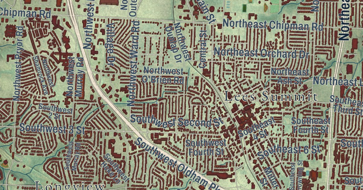
Street and place names on the Lee’s Summit, Missouri map
These names are printed on the map of Lee’s Summit, Missouri.
Places: Legacy Park, South Lee, Longview, Lees Summit, Park and Longview Lake Park.
Streets and roads: Southeast Saint Route 291 Highway, Southwest Saint Route 150 Highway, Southwest Saint Route 291 Highway, East Outer Belt Road, Northeast Saint Route 291 Highway, Southwest Ward Road, Northeast Todd George Parkway, Northwest Blue Parkway, Northeast Todd George Road, Southeast Hamblen Road, Southeast Ranson Road, Northeast Anderson Drive.
More street names, A to Z
35th Terrace, 83rd Street, 159th Street, Agate Drive, Amanda Lane, Ashton Drive, Ashurst Drive, Ball Drive, Beechwood Drive, Bent Tree Circle, Bergolia Vw, Bingham Drive, Birch, Blackwell Road, Broadway Drive, Canyon Drive, Central Street, Chipman Road, Current Lane, Deerbrook, Derby Road, Doc Henry Road, Eagle View Drive, East 99 Street, East 137th Street, East 155th Street, East Cass Jackson Road, East Chipman Road, East Langsford Road, Eleventh Street, Ellis Drive, Fiddlewood Drive, Fifth Terrace, Forestpark Lane, Golden Rod Drive, Gregory Boulevard, Harding Road, High Point Drive, Holiday Drive, Hunters Ridge, Lake Drive, Lake Ridge Drive, Lane, Lee's Summit Road, Leinweber Road, Logos Drive, Lowenstein Drive, Maplegate Drive, Marsh Wren, Miller Street, Muir, Noland Road, Northeast Akin Boulevard, Northeast Ash Street, Northeast Banner Drive, Northeast Beach Road, Northeast Blackwell Road, Northeast Bowlin Road, Northeast Bristol Drive, Northeast Chipman Road, Northeast Colbern Road, Northeast Columbus Street, Northeast Concord Street, Northeast Coral Drive, Northeast Daltons Ridge Drive, Northeast Delta School Road, Northeast Dick Howser Drive, Northeast Douglas Street, Northeast Fairview Road, Northeast Fairway Homes, Northeast Gateway Drive, Northeast Grant Street, Northeast Hagan Road, Northeast Independence Avenue, Northeast Lakewood Boulevard, Northeast Lakewood Way, Northeast Langsford Road, Northeast Legacy Park Drive, Northeast Marywood Lane, Northeast Maybrook Road, Northeast McBaine Drive, Northeast Missouri Road, Northeast Misty Lane, Northeast Orchard Drive, Northeast Ozark Drive, Northeast Rennau Drive, Northeast Rice Road, Northeast Scruggs Road, Northeast Shoreview Drive, Northeast Strother Road, Northeast Town Centre Boulevard, Northeast Tudor Road, Northeast Velie Road, Northeast Victoria Drive, Northeast Woods Chapel Road, North Main, North Prairie Lane, North Ward Road, Northwest Anderson, Northwest Chipman Road, Northwest Clifford Road, Northwest Colbern Road, Northwest Dunlap Drive, Northwest Lake Drive, Northwest Lakewood Boulevard, Northwest Main Street, Northwest Murray Road, Northwest O'Brien Road, Northwest Outerview Road, Northwest Pryor Road, Northwest Quarry Park Road, Northwest Shamrock Avenue, Northwest Thoreau Drive, Northwest Victoria Drive, Northwest Ward Road, Old Lees Summit Road, Princeton Drive, Regatta Drive, Sampson Road, Scenic Drive, Seventh Terrace, Shenandoah Drive, Sixth Street, Sixth Terrace, Smart Road, Southeast 2 Terrace, Southeast 3 Street, Southeast 4 Street, Southeast 6 Street, Southeast 7 Street, Southeast 7 Terrace, Southeast 16th Street, Southeast Bailey Road, Southeast Blue Parkway, Southeast Browning Street, Southeast Colony Drive, Southeast Dalton Drive, Southeast Fifth Terrace, Southeast Fourth Street, Southeast Langsford Road, Southeast Millstone Avenue, Southeast Oldham Parkway, Southeast Saddlebrook Drive, Southeast Saint Route 150 Highway, Southeast Shenandoah Drive, Southeast Third Street, Southeast Thompson Drive, Southeast Todd George Parkway, South Smart Road, Southwest 2 Street, Southwest 3 Street, Southwest 34 Street, Southwest Arthur Drive, Southwest Crossing Drive, Southwest Eagle Creek Drive, Southwest Evergreen Lane, Southwest Fourth Street, Southwest Granite Lane, Southwest Gull Point, Southwest Gull Point Drive, Southwest Hickory Lane, Southwest Hoke Lane, Southwest Hook Road, Southwest Jefferson Street, Southwest Kline Avenue, Southwest Longview Road, Southwest Murray Road, Southwest Oldham Parkway, Southwest Persels Road, Southwest Pryor Road, Southwest Raintree Drive, Southwest Rain Tree Drive, Southwest Raintree Parkway, Southwest Sampson Road, Southwest Scherer Parkway, Southwest Scherer Road, Southwest Second Street, Southwest Stoney Brook Drive, Southwest Stoney Creek Drive, Southwest Stuart Road, Southwest Summit Hill Drive, Southwest Third Street, Southwest West Park Road, Southwest Whistle Drive, Southwest Wysteria Drive, State Highway Ra, Stonewood Drive, Stratford Road, Surrey Trce, Tawny Drive, Tenth Street, Twelfth Street, View High Drive, Village Drive, Walden Drive, Ward Road, Webster Drive, Windsboro Drive, Winterpark Boulevard, Wood Road.
See the Lee’s Summit, Missouri map on a wall
The Lee's Summit map as an 18 x 24 inch print in a black frame.

This beautifully detailed map of Lee’s Summit makes an attractive addition to your office, library, or den, and it can even be used to teach children the geography and history of the area. It also makes a great gift for anyone who grew up in Lee’s Summit or moved away. When you’re done exploring, click here to get your copy of the Lee’s Summit map.