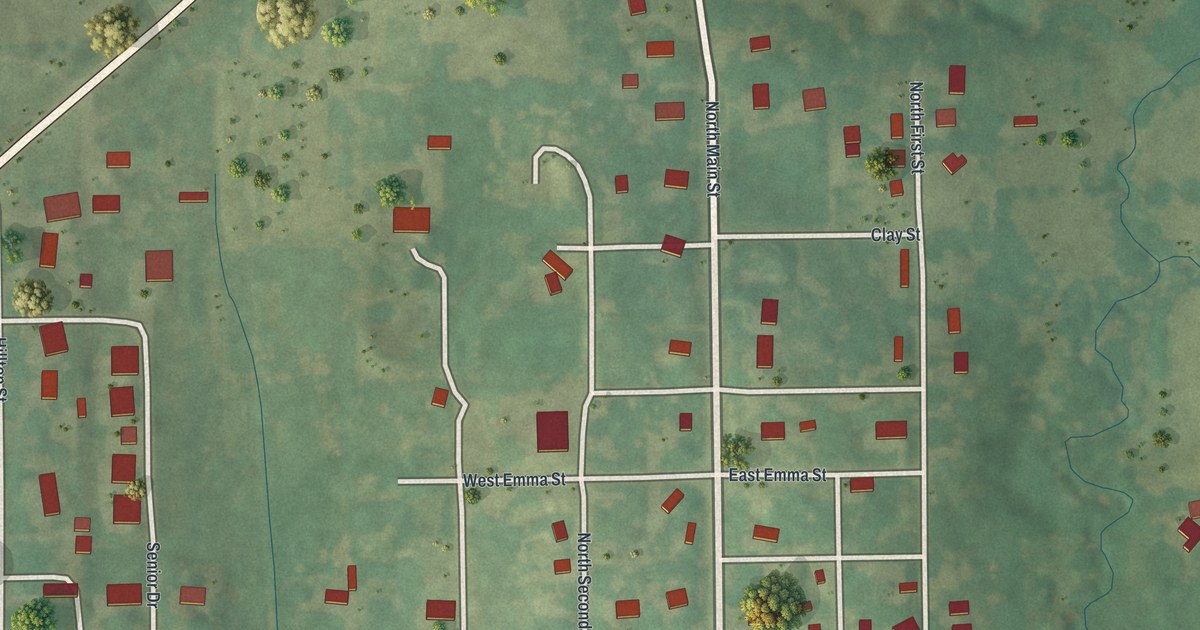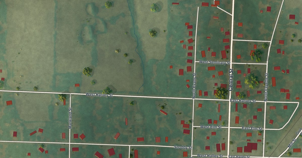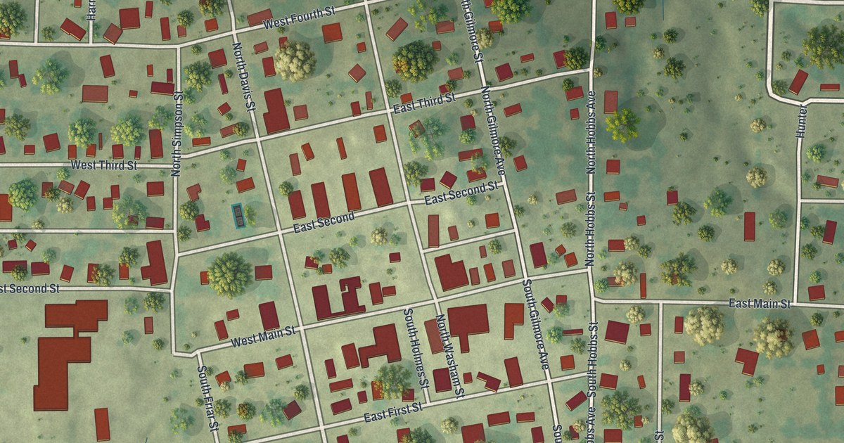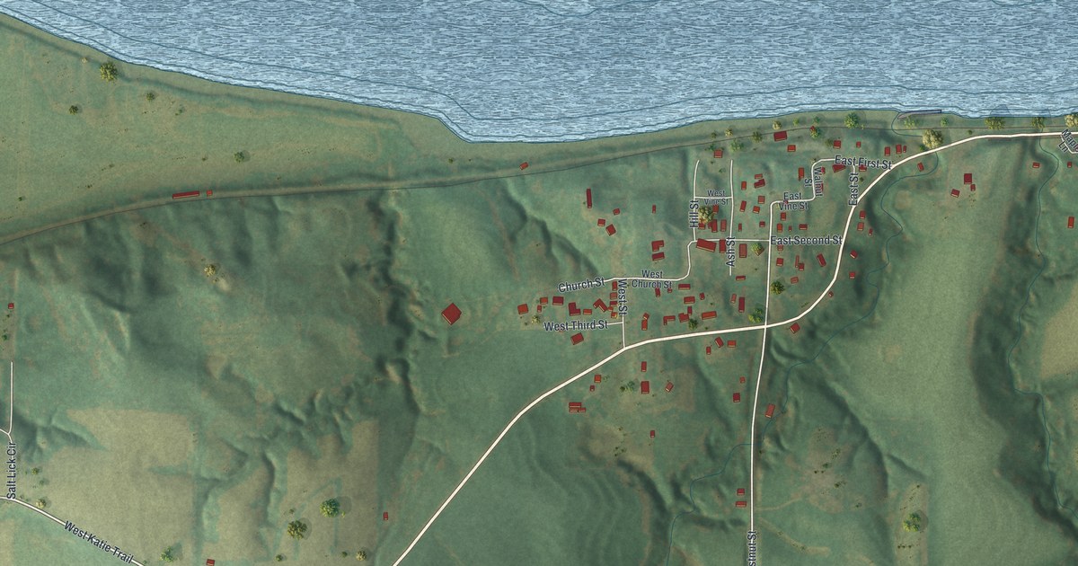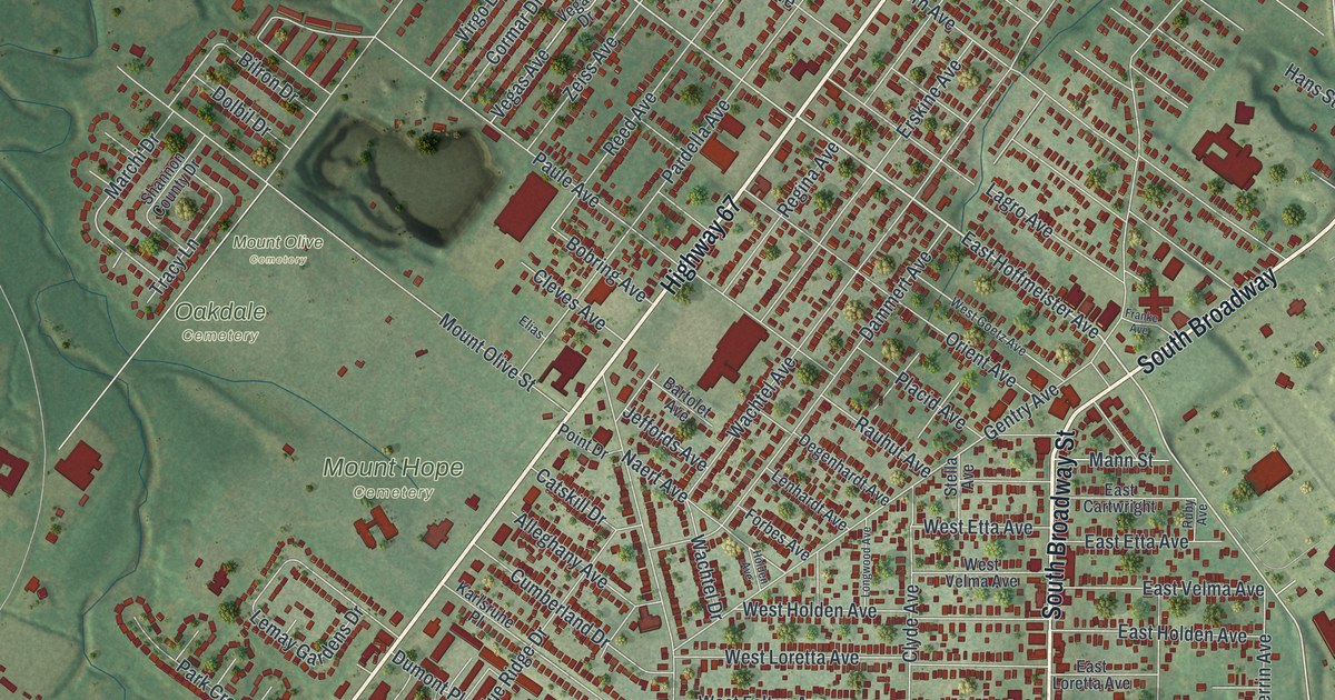
If you grew up in Lemay or still drive Lemay Ferry Road to get home, this map is for you. It's a modern aerial view of Lemay, made from modern data with a vintage feel, in St. Louis County, Missouri. Green hills roll across the sheet, and small red shapes mark the buildings. A wide blue river runs down the right side. Cemeteries fill the middle of town, including Mount Hope, Park Lawn and Mount Olive. Lemay Park sits up near the top right.
Lemay Ferry Road and the LeMais Family
On this map you'll find Lemay Ferry Road, South Broadway, Highway 67, Hoffmeister Avenue, Telegraph Road, Union Road, Reavis Barracks Road, Military Road, Jefferson Barracks Drive, Lemay Park, Bella Villa, Ivory, Mount Hope Cemetery, Park Lawn Cemetery, Odd Fellows Cemetery, and more. Each red shape is a building, so zoom in on the preview and look for yours.
How Lemay Got Its Name
Lemay's name goes back to a ferry. The State Historical Society of Missouri keeps an old file of place names. It says the town was named for Francis LeMais, Sr. and Francis LeMais, Jr. The two men ran a ferry across the Meramec River near here. Today the town's name is spelled Lemay.
You can still read that story on the map. Find Lemay Ferry Road on the map. The word ferry is right there in the name. Lemay Park is printed near the top right of the map.
A Lemay Map for Your Wall
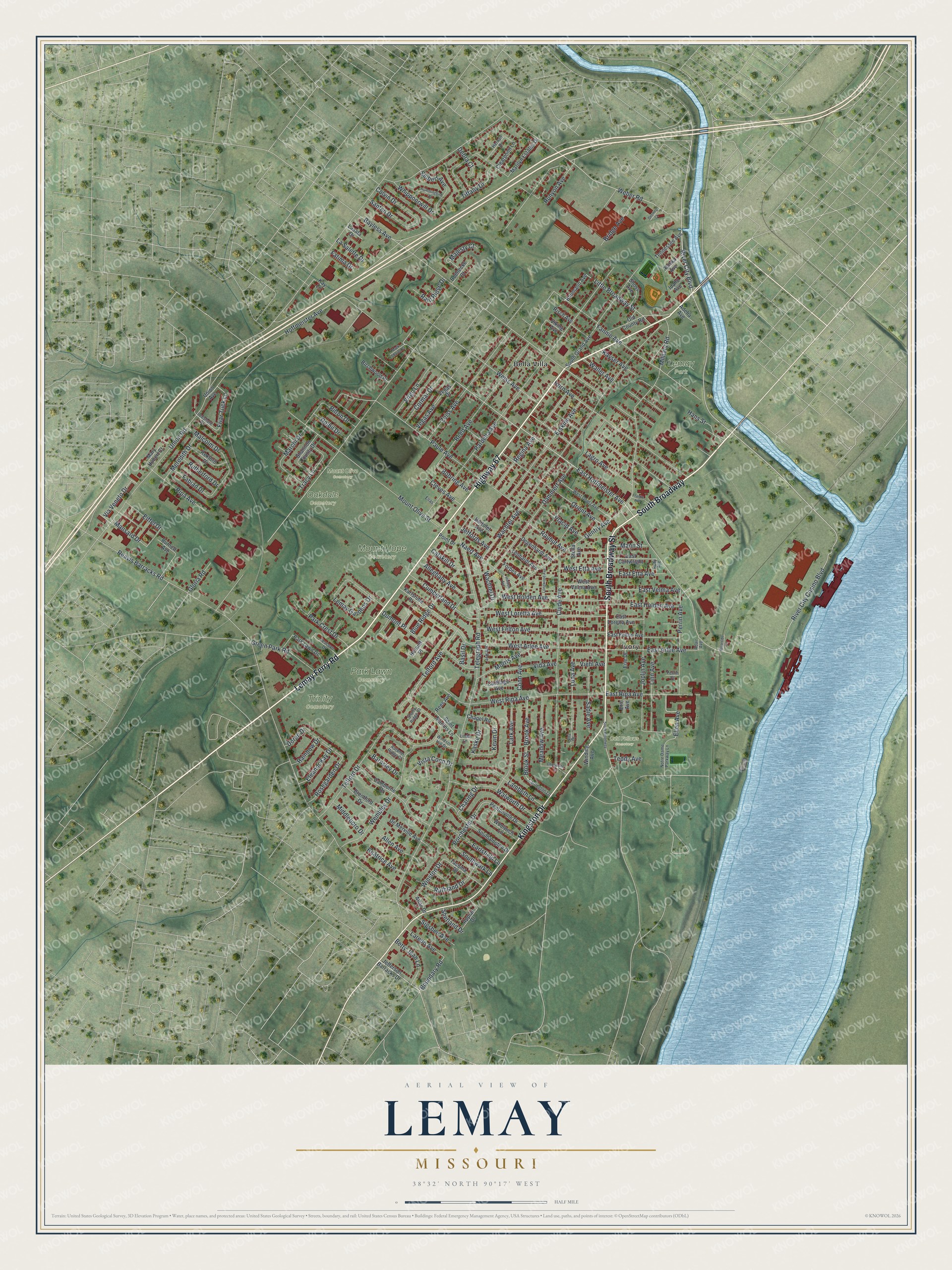
Created by KNOWOL in 2026, this print shows Lemay from above in soft greens, with shaded hills, thin white streets and red buildings. The title panel reads Aerial View of Lemay, Missouri, with the line 38°32' North 90°17' West.
It fits a living room, a kitchen or a home office. It's also a good gift for someone who grew up near Lemay Park and now lives far away. Open the preview and zoom in to find your street. See sizes and frames for the Lemay map.