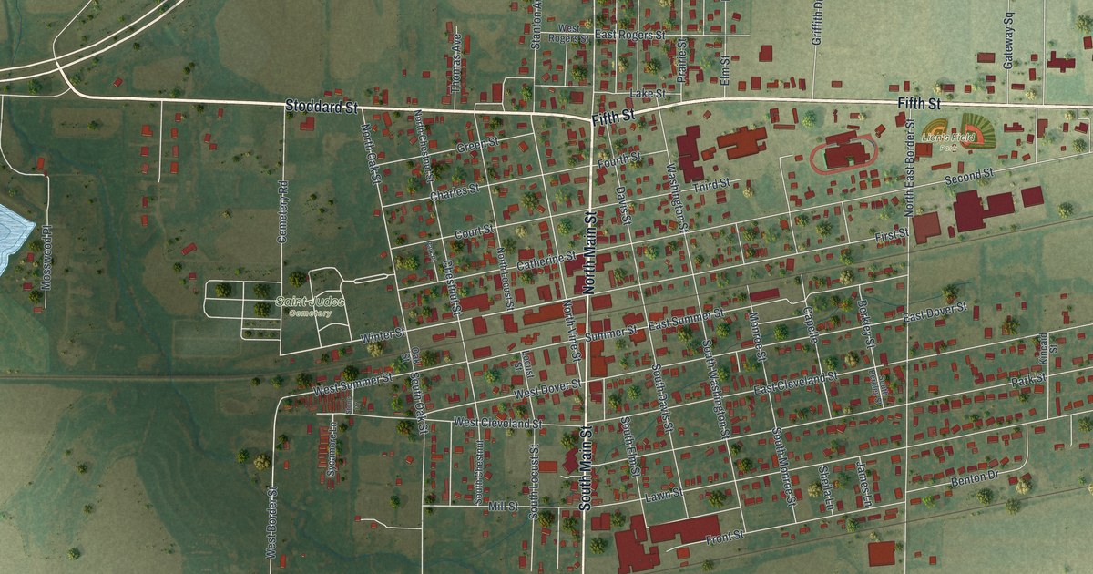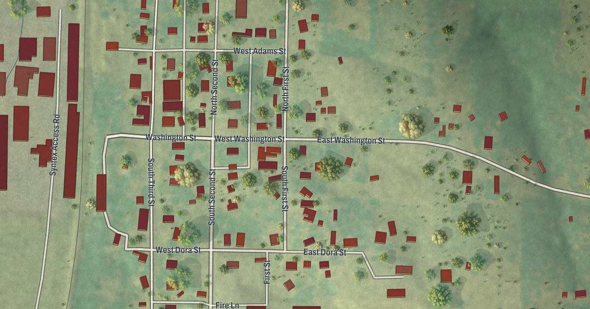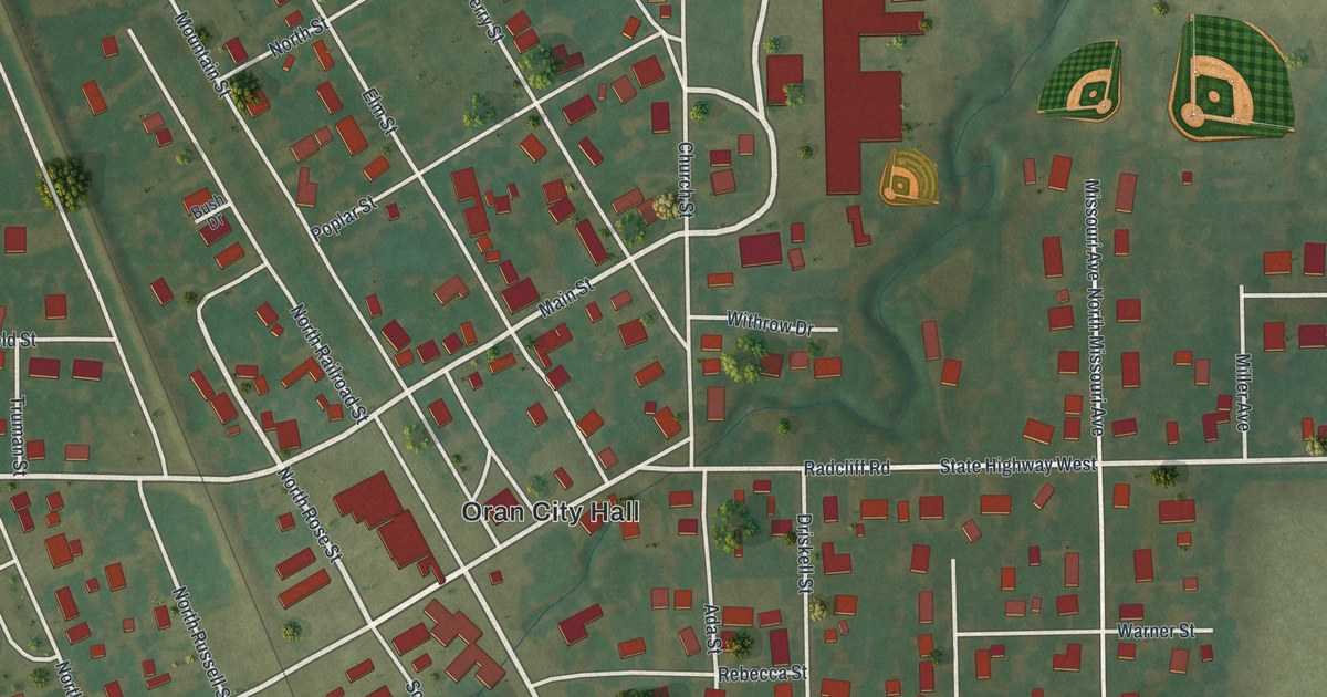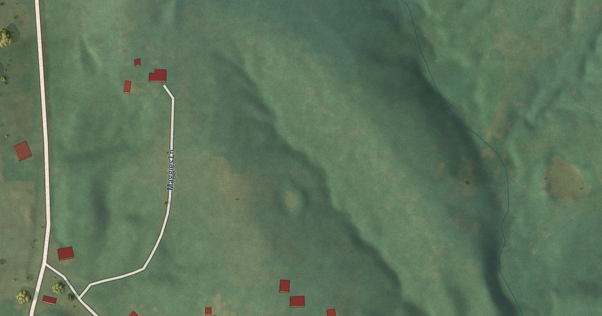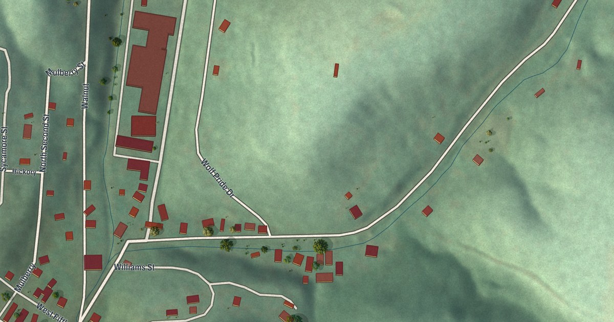
If you grew up in Newburg, these streets may bring your own block to mind. This modern aerial view of Newburg in Phelps County, Missouri pairs modern data with a vintage feel. Red buildings line pale roads among green hills. A blue river curves along the bottom of the print.
Main Street and Newburg's early years
On this map you'll find Main Street, Front Street, West First Street, East First Street, Wolf Pride Drive, Walnut Street, High Street, Mulberry Street, Sycamore Street, Water Street, Oak Street, Cave Street, and more. Each red shape is a building, so zoom in on the preview and look for yours.
The State Historical Society of Missouri's place-name file dates Newburg's founding to 1883. It places the town in Arlington Township. On this view of Newburg today, you can pick out Main Street and the close-set blocks around it. The green slopes give those small blocks a setting you can see at a glance.
Keep a view of Newburg close
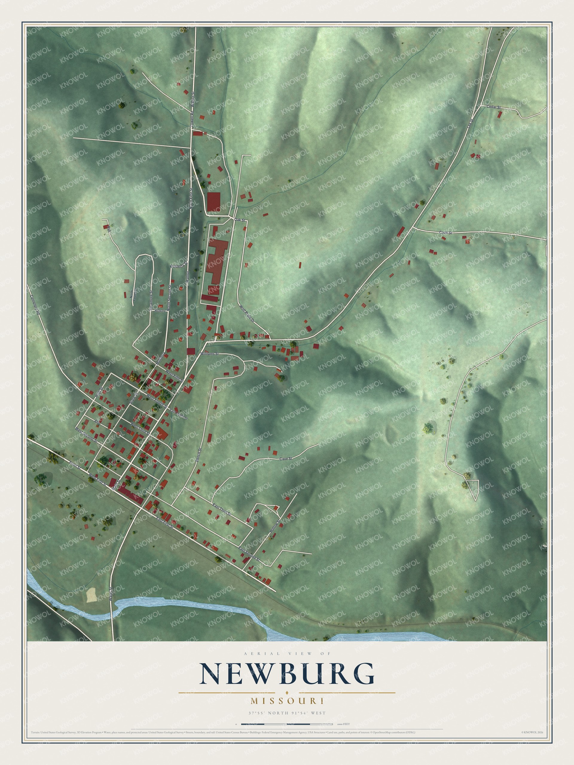
Created by KNOWOL in 2026, the print uses green shaded hills, red buildings, pale roads and blue water. A cream border surrounds the view. The title panel reads AERIAL VIEW OF, NEWBURG, MISSOURI, with 37°55' NORTH 91°54' WEST below.
It's a warm fit for a living room, office or entryway. Give it to someone who grew up near Main Street and now lives far from home. Open the preview to look for the streets you know. See sizes and frames for the Newburg map.