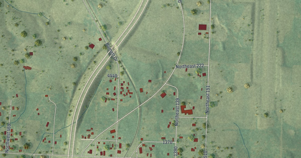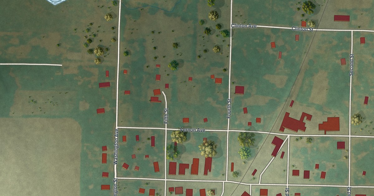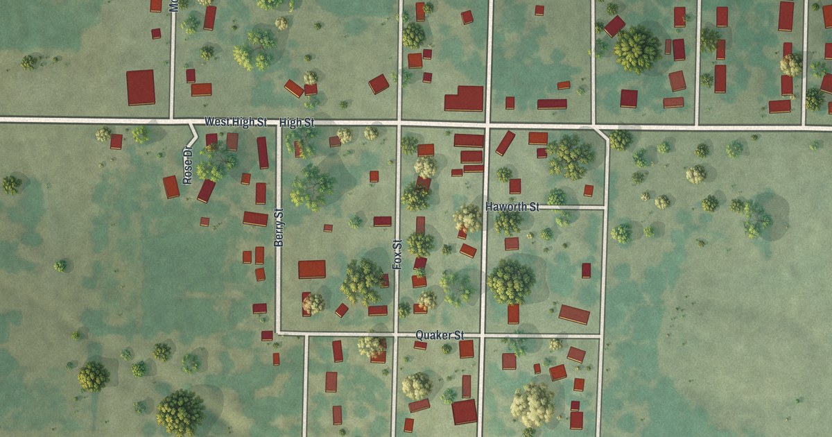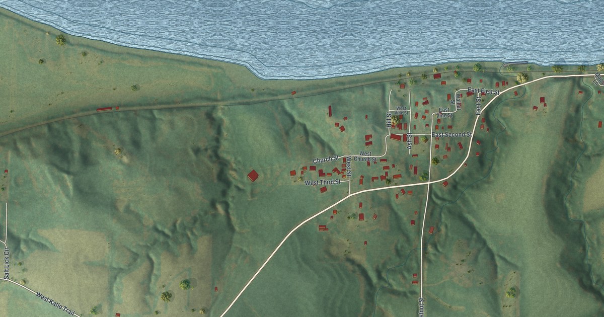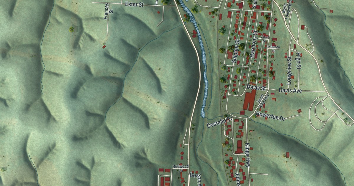
This beautifully detailed map of Noel, Missouri was created in 2026 using aerial imagery combined with modern topographical, census, street and landmark data. It’s a one-of-a-kind view of Noel that combines accurate data with a vintage aesthetic. The map shows every building in its true location, many of the roads carry their names, and the shaded topographic relief shows the shape of the land.
Explore an aerial view of Noel, Missouri
On the map you’ll find Spring Valley and Armstrong Quarry, along with South Cliffside Drive, Cliffside Drive, Main Street, South Kings Highway, County Road Sw5966, Davis Street, Johnson Drive, North Railroad Street, High Street, Railroad Street, and more. If you look closely you can even find your house accurately drawn in its correct location. Zoom in on the preview to look for yours.
Did you know this piece of Noel, Missouri history?
Noel has had a post office since 1886. Every holiday season, people mail tens of thousands of cards and letters there to get a Noel postmark. The custom caught on in the late 1940s. Singer Kate Smith told the town’s story on her radio and television broadcasts.
Take a closer look at the Noel map
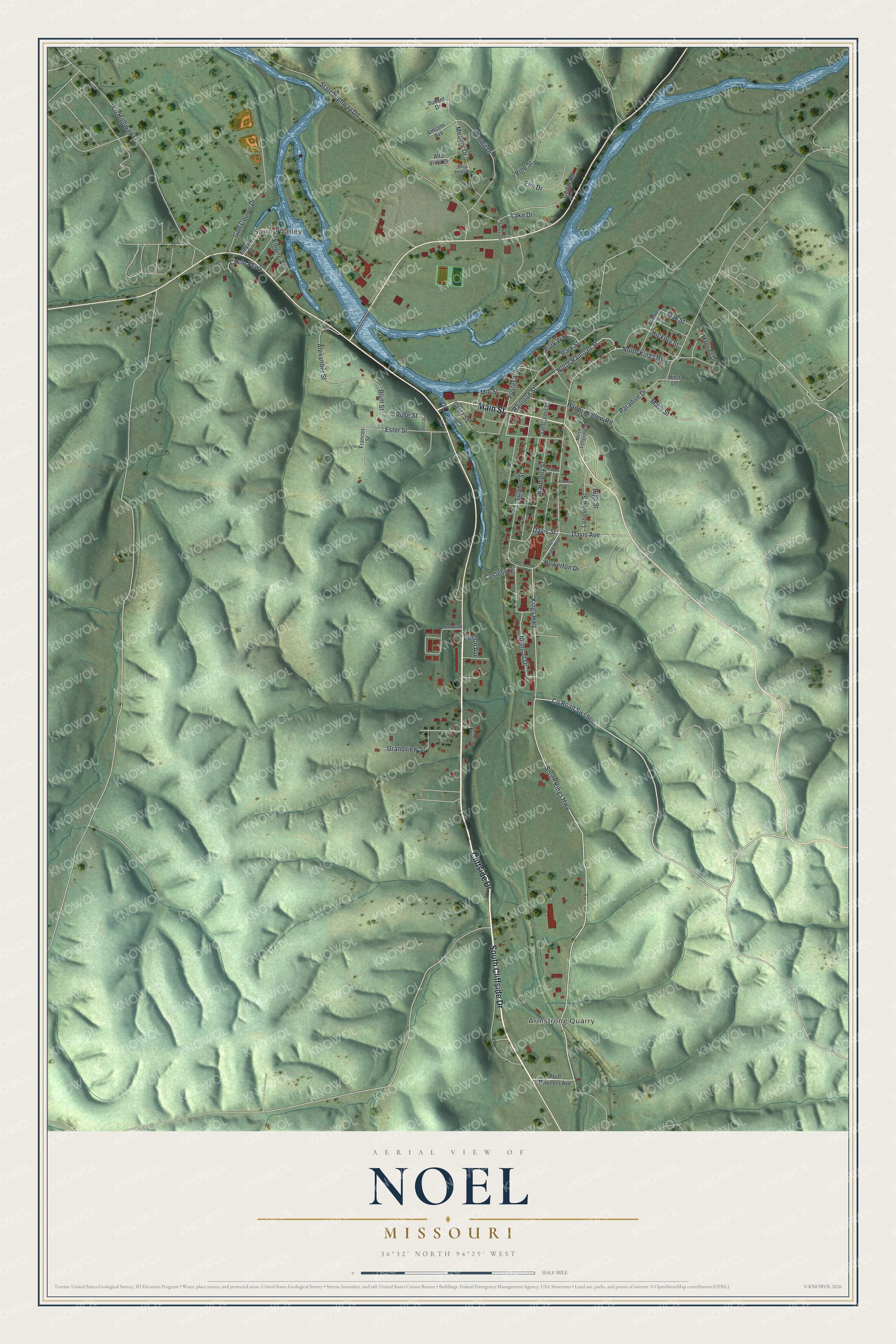
Street and place names on the Noel, Missouri map
These names are printed on the map of Noel, Missouri.
Places: Spring Valley and Armstrong Quarry.
Streets and roads: South Cliffside Drive, Cliffside Drive, Main Street, South Kings Highway, County Road Sw5966, Davis Street, Johnson Drive, North Railroad Street, High Street, Railroad Street, Mill Street, Grandview Street.
More street names, A to Z
Alexander Street, Alta Vista Drive, Artesian, Baucom, Bluff Dwellers Avenue, Bluff Street, Boston Avenue, Caldwell Street, Cedar Road, Circle Parkway, Costello Drive, County Highway Tt, Davis Avenue, Elm Drive, Empire Avenue, Empire Street, Ester Street, Foster Avenue, Frances Street, Golf Course Drive, Gratz Street, Happy Hollow Road, Harmon Drive, Harmony Street, Hickory Street, Hirst Lane, Howerton Drive, Kings Highway, Lake Drive, Lincoln Avenue, Longview Street, Macy Street, Manning Drive, Meador Drive, Mesa Verda Drive, North Kings Highway, North Longview Street, Oak Street, Paradise Drive, Park Street, Park Way, Pine Street, Redwood Lane, Rose Street, Saint John Street, Sharl Street, Short Street, South King Highway, State Highway Dd, Sulphur Street, Summit Drive, Sunset Drive.
See the Noel, Missouri map on a wall
The Noel map as an 18 x 24 inch print in a black frame.

This beautifully detailed map of Noel makes an attractive addition to your office, library, or den, and it can even be used to teach children the geography and history of the area. It also makes a great gift for someone who left Noel and still calls it home. When you’re done exploring, click here to get your copy of the Noel map.