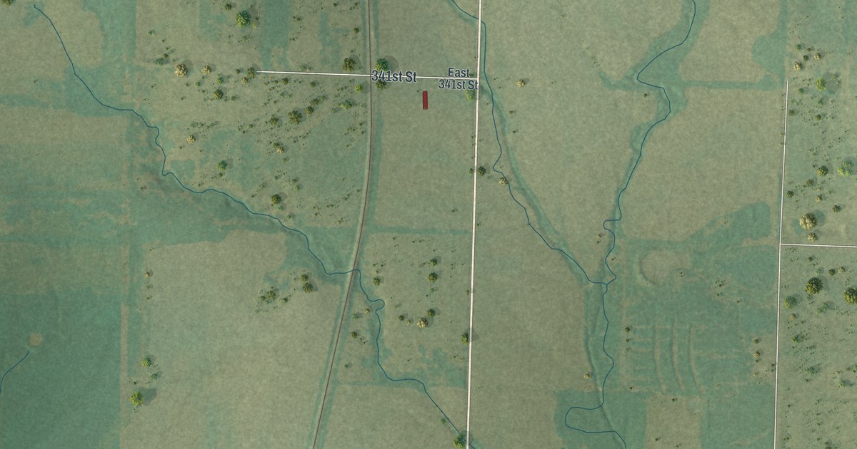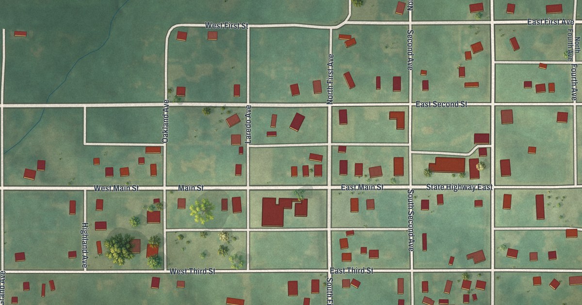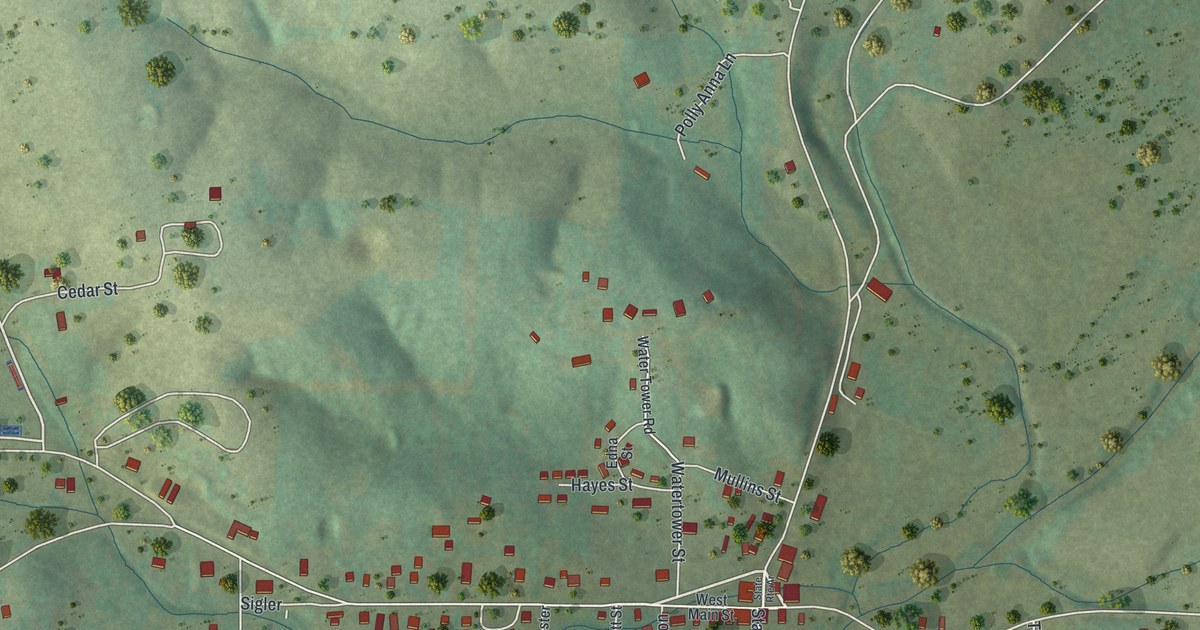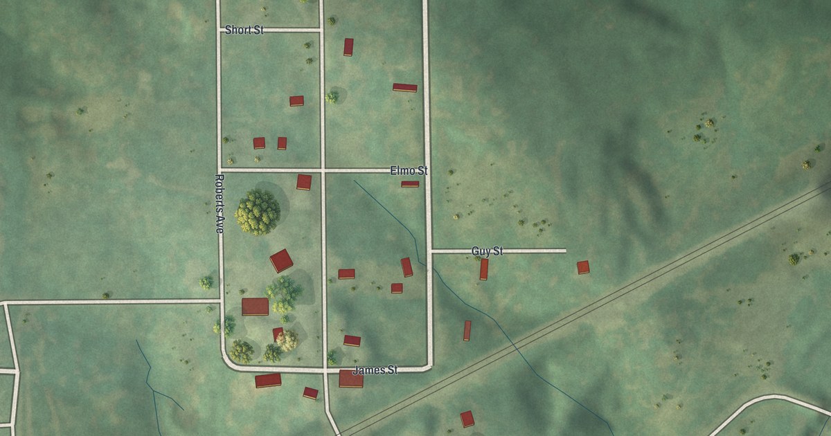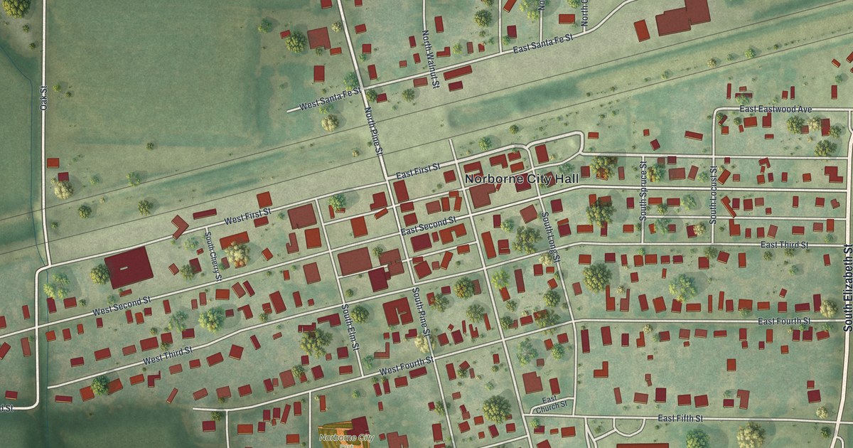
If you grew up in Norborne, this print puts your home streets in view. It's a modern aerial view of Norborne in Carroll County, Missouri, made with modern data and a vintage feel. Red buildings line the town's blocks, with green fields beyond them. The railroad cuts across the view near the center.
Norborne's railroad roots and its first church service
On this map you'll find Norborne City Hall, South Pine Street, North Pine Street, East First Street, West First Street, East Second Street, West Second Street, South Walnut Street, East Santa Fe Street, West Santa Fe Street, and more. Each red shape is a building, so zoom in on the preview and look for yours.
Norborne's first church service was held at the railroad. The 1881 History of Carroll County says the town's first religious service was Catholic. It took place in the railroad's section house. The same account places Norborne on the Wabash, St. Louis & Pacific Railroad. By 1881, some kinds of freight shipped from town topped the county seat's in both quantity and quality. Look for the rail line running across this view, just below East Santa Fe Street.
Norborne streets for your wall
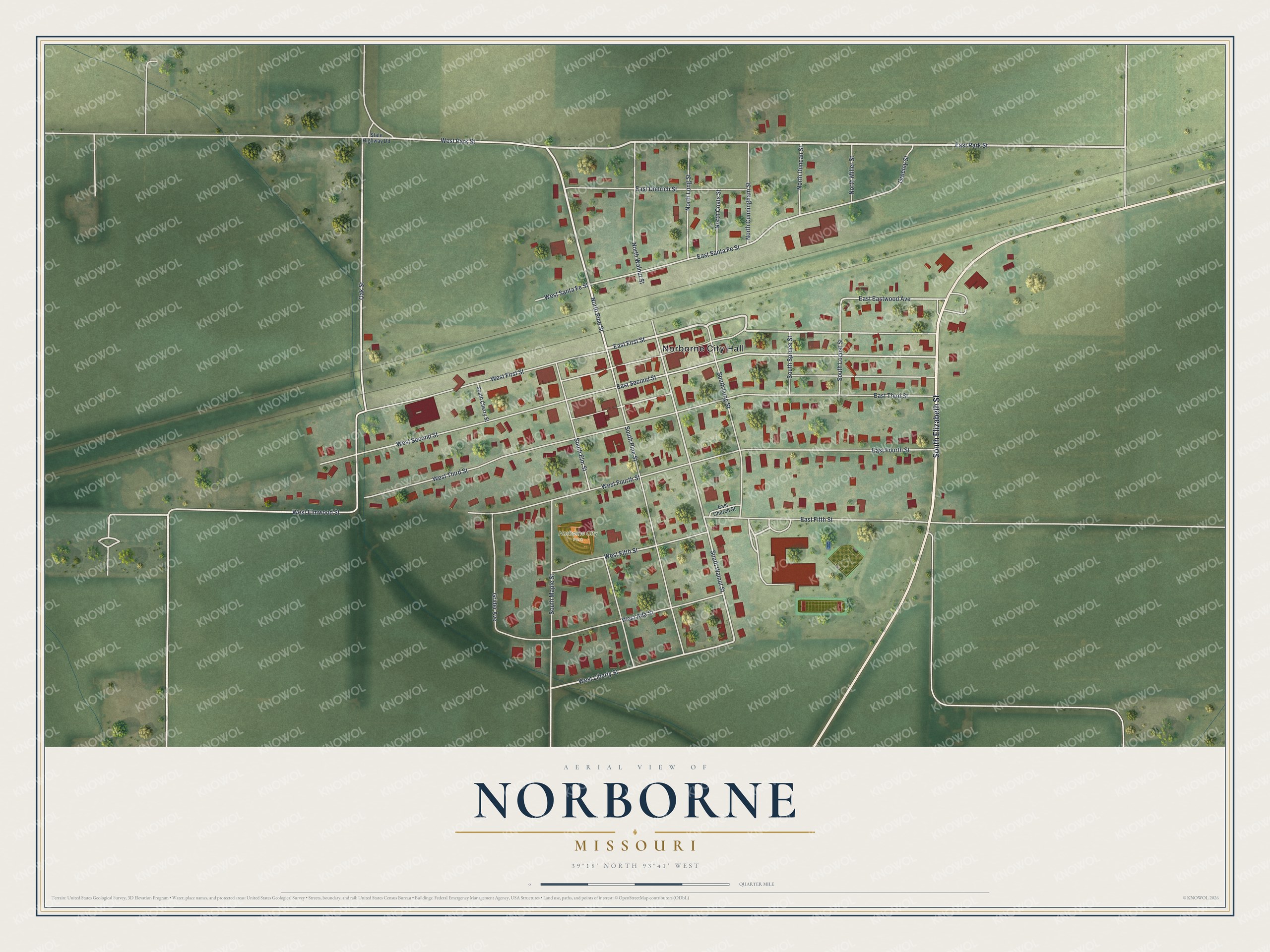
Created by KNOWOL in 2026, the print pairs soft green land with red buildings and pale roads. A cream border surrounds the view. The title panel reads AERIAL VIEW OF, NORBORNE, MISSOURI, with 39°18' NORTH 93°41' WEST beneath it.
Hang it in a living room, office, or entryway to keep home close. It's a gift for someone who grew up near South Pine Street or moved away from Norborne. Open the preview and look for the blocks you know. See sizes and frames for the Norborne map.