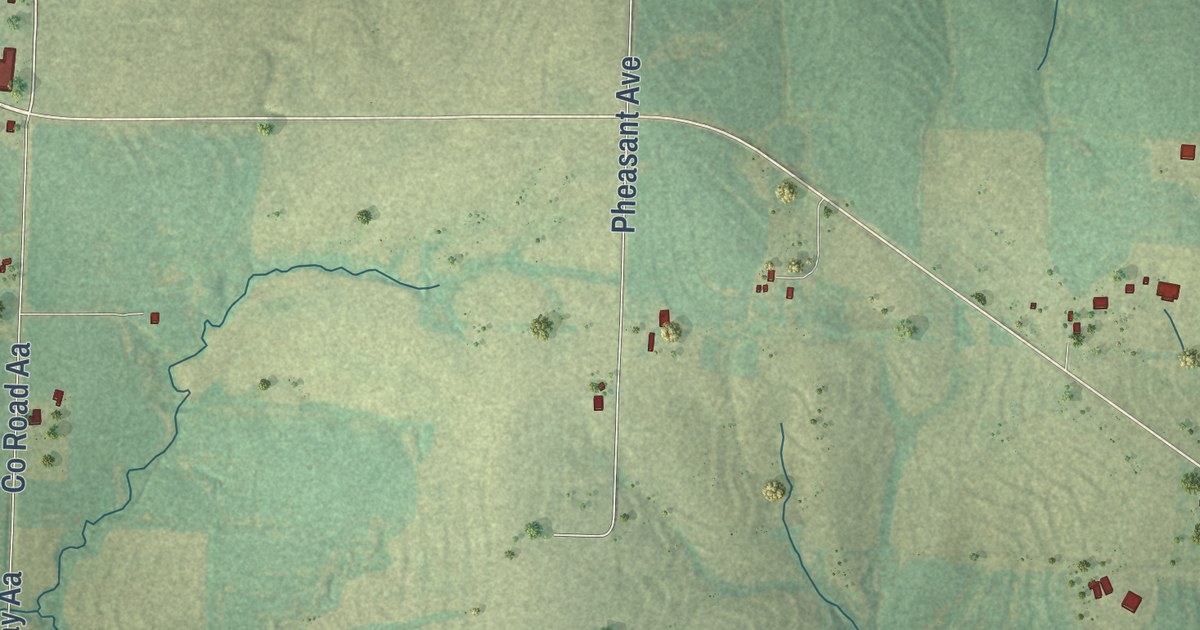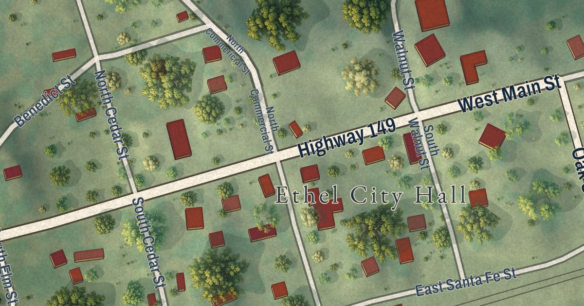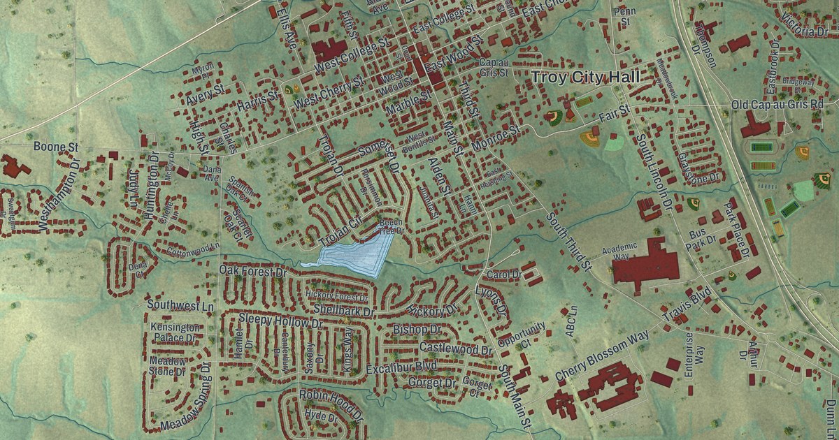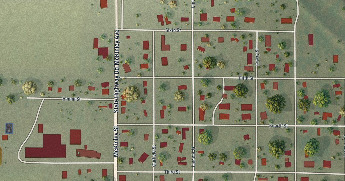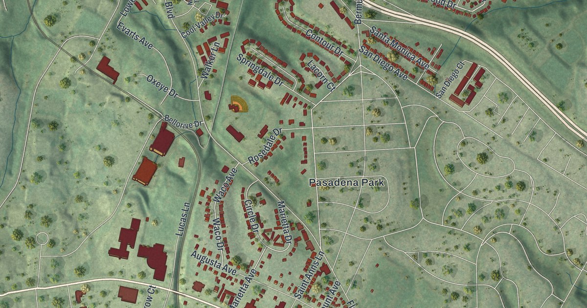
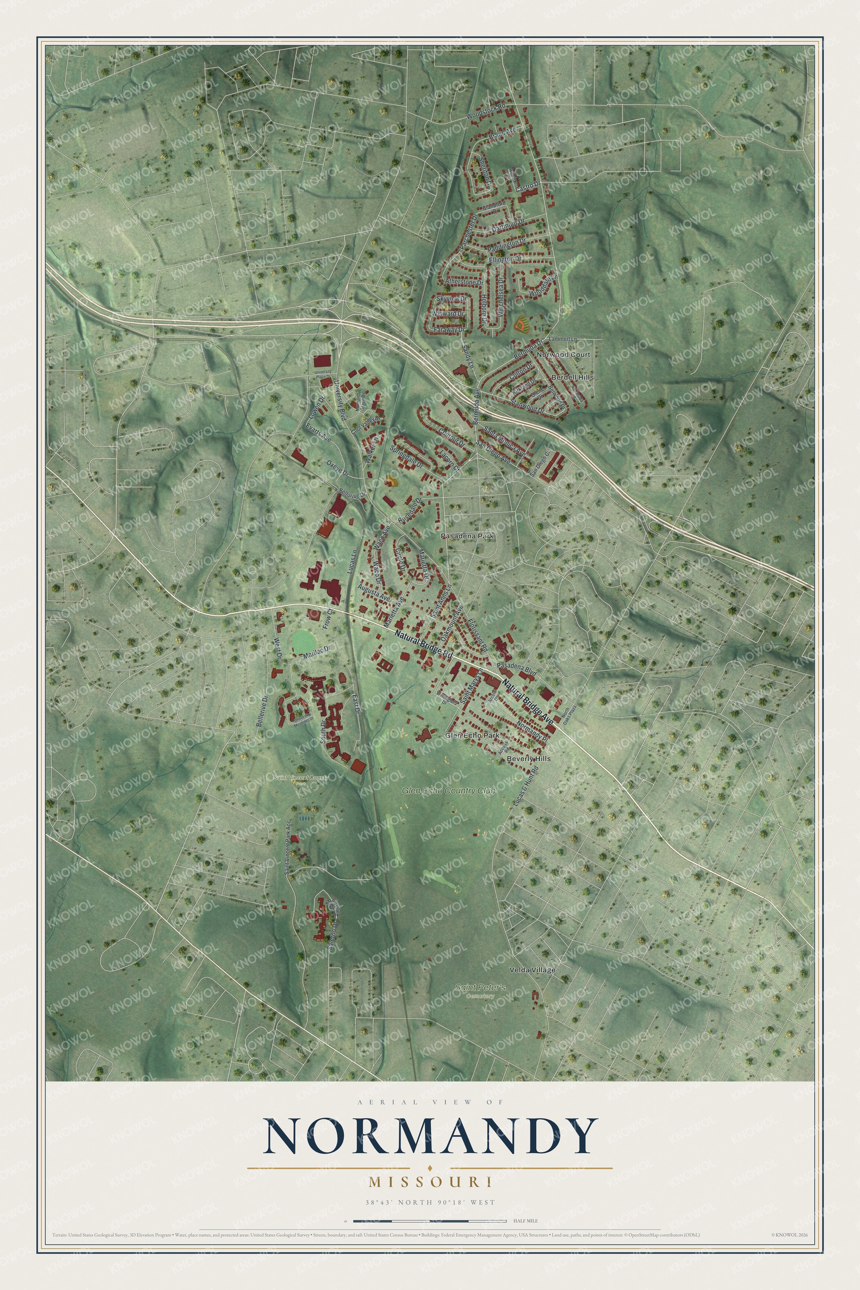
This beautifully detailed map of Normandy, Missouri was created in 2026 using aerial imagery combined with modern topographical, census, street and landmark data. It’s a one-of-a-kind view of Normandy that combines accurate data with a vintage aesthetic. The map shows every building in its true location, many of the roads carry their names, and the shaded topographic relief shows the shape of the land.
Explore an aerial view of Normandy, Missouri
On the map you’ll find Saint Peter’s Cemetery, Saint Vincent County Park, Berdell Hills, Beverly Hills, Glen Echo Park, Pasadena Park, Velda Village, and Glen Echo Country Club, along with Norwood Court, Natural Bridge Road, Natural Bridge Avenue, Stanwood Drive, and more. If you look closely you can even find your house accurately drawn in its correct location. Zoom in on the preview to look for yours.
Take a closer look at the Normandy map
Street and place names on the Normandy, Missouri map
These names are printed on the map of Normandy, Missouri.
Places: Saint Peter's Cemetery, Saint Vincent County Park, Berdell Hills, Beverly Hills, Glen Echo Park, Norwood Court, Pasadena Park, Velda Village and Glen Echo Country Club.
Streets and roads: Natural Bridge Road, Natural Bridge Avenue, Stanwood Drive, Oakmount Avenue, Bermuda Avenue, Castro Drive, Bermuda Drive, Lucas & Hunt Road, Florissant Road, Augusta Avenue, Bellerive Drive, East Drive.
More street names, A to Z
Access Road, Annex Court, Arcola Drive, Atherstone Drive, Bellorive Drive, Belwood Drive, Bermuda Court, Blandford Drive, Brand Avenue, Castle Park Drive, Circle Drive, Colton Drive, Contour Drive, Cool Valley Drive, Dartmoor Drive, Ellington Drive, Evarts Avenue, Faraway Drive, Frow Court, Holborn Drive, Kirkland Drive, Lacorn Court, Lammert Lane, Lowen Drive, Lucas Lane, Marietta Avenue, Marietta Drive, Marilac Drive, Normandy Place, Normandy Trace Drive, North Oaks Plaza, Olene Drive, Oxeye Drive, Paddington Drive, Parchester Drive, Pasadena Boulevard, Rosedale Drive, Saint Anns Lane, Saint Marys Lane, Saint Vincent Park Acc, Salerno Drive, San Diego Avenue, San Diego Court, Sandy Lane, Santa Monica Avenue, Sheriton Drive, Skyview Drive, South Drive, Springdale Drive, University Boulevard, University Meadows Drive, University Place Drive, Waco Avenue, Waco Drive, Walker Lane, Wallingford Drive, West Drive, Winchelsea Drive, Winward Drive, Wooddale Lane, Woodstock Road.
See the Normandy, Missouri map on a wall
The Normandy map as an 18 x 24 inch print in a black frame.

This beautifully detailed map of Normandy makes an attractive addition to your office, library, or den, and it can even be used to teach children the geography and history of the area. It also makes a great gift for anyone who grew up in Normandy or moved away. When you’re done exploring, click here to get your copy of the Normandy map.