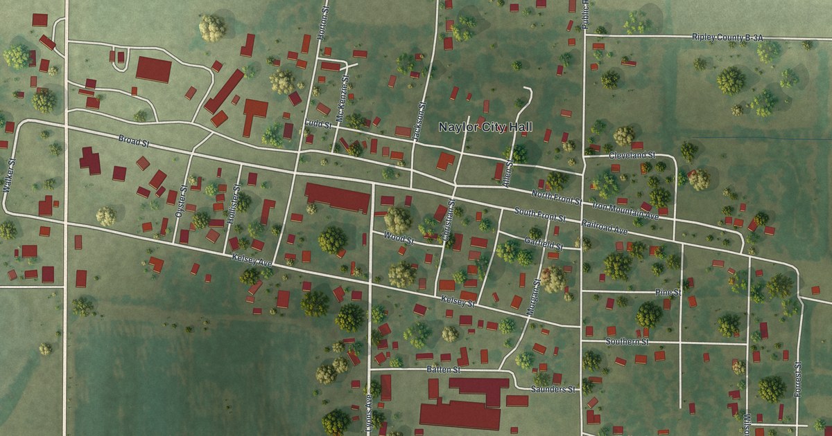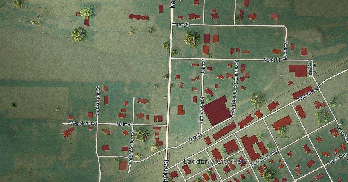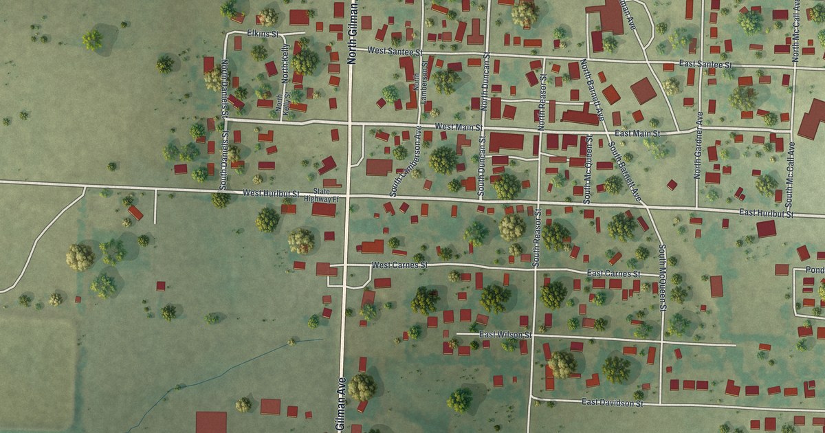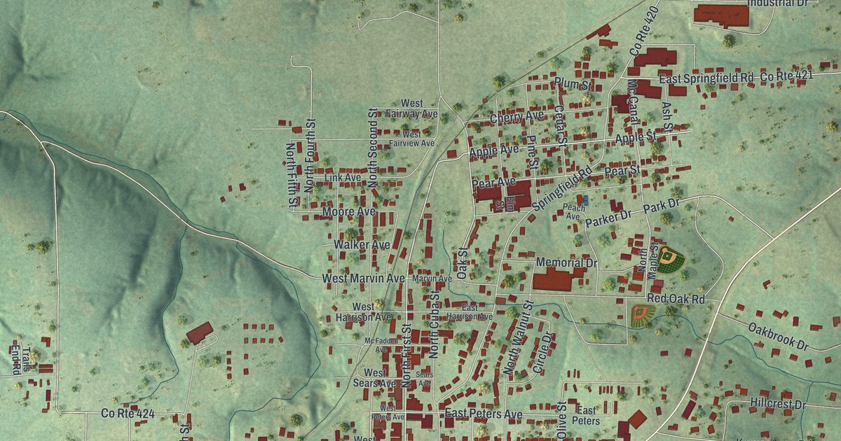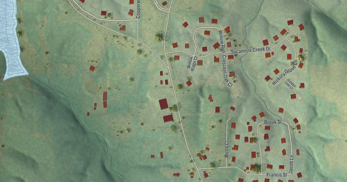
If you grew up near Mill Street, know the ball fields at New Melle Sports & Rec, or still have family in town, this map was made with you in mind. It's a modern aerial view of New Melle with a vintage look, built from modern data, in St. Charles County, Missouri. Green hills fold across the whole sheet. The town's red rooftops gather along Mill Street near New Melle City Hall. A pale blue lake sits on the left side, and ball fields show up in the middle of town.
Streets around New Melle City Hall
On this map you'll find Mill Street, Saint Charles Street, Peter Street, Schutzen Street, Almeling Street, Arlie Welge Street, Foristell Road, Holt Road, Cooperwyck Road, Fiddlecreek Ridge Road, Lost Lake Drive, Sycamore Creek Drive, New Melle City Hall, New Melle Sports & Rec, and more. Each red shape is a building, so zoom in on the preview and look for yours.
Mill Street and the Meier General Store
New Melle is small, but it's old. The State Historical Society of Missouri keeps a file of place-name notes from the 1920s to the 1940s. It says most authorities agree the town was laid out in 1850. Two buildings here are on the National Register of Historic Places. The Meier General Store is at 3669 Mill Street. It was listed in 2002. The other is St. Paul's Church, listed in 1982.
Keep Mill Street close
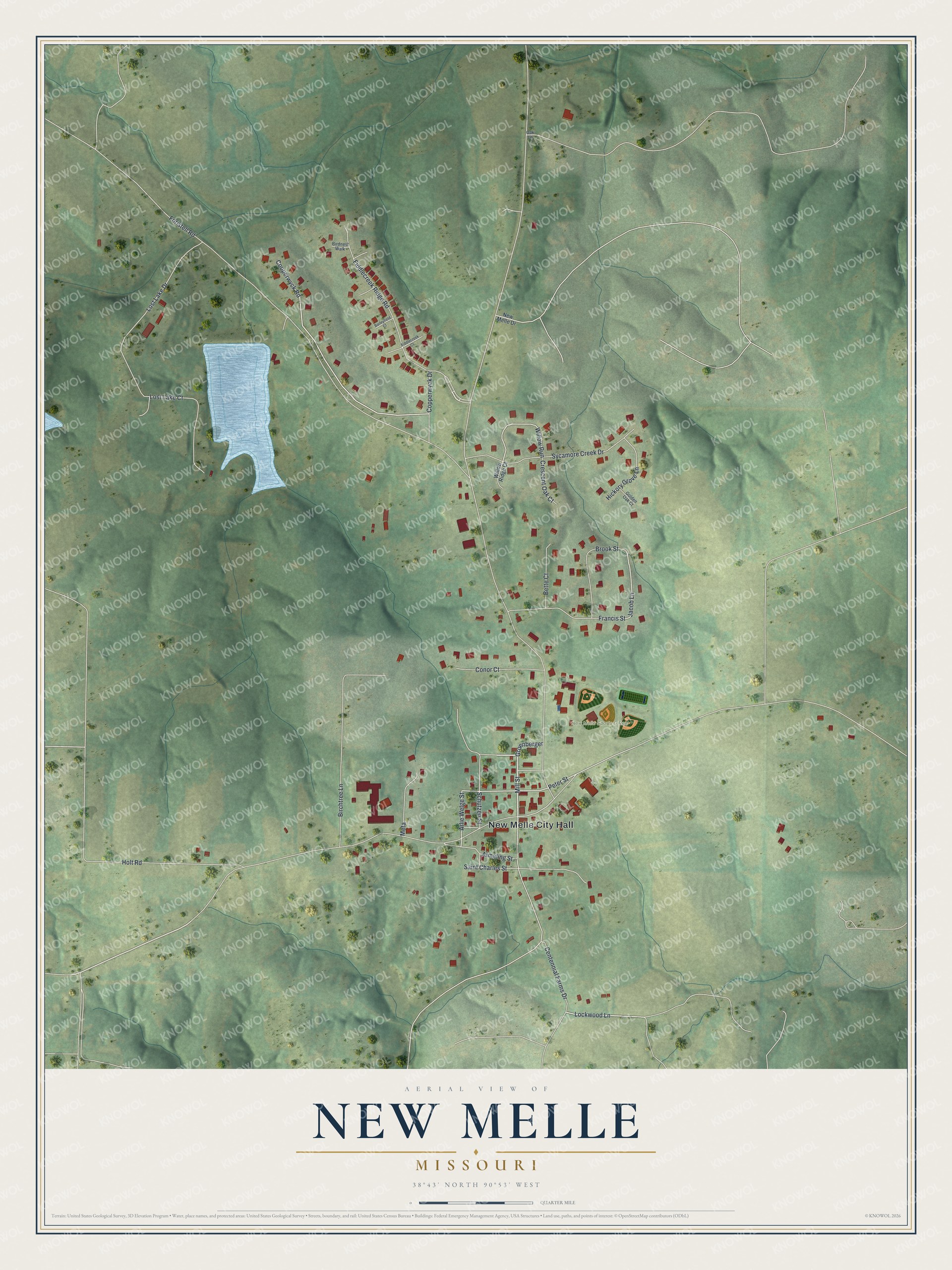
Created by KNOWOL in 2026, this print shows the hills around New Melle in soft greens, with red buildings, fine gray roads and a pale blue lake. The title panel reads "Aerial View of New Melle, Missouri" with the coordinates 38°43' North 90°53' West.
It fits a living room, a kitchen or a home office. It's a good gift for someone who grew up near New Melle City Hall, or for a family that lives near New Melle Sports & Rec. Open the preview and find your own street. See sizes and frames for the New Melle map.