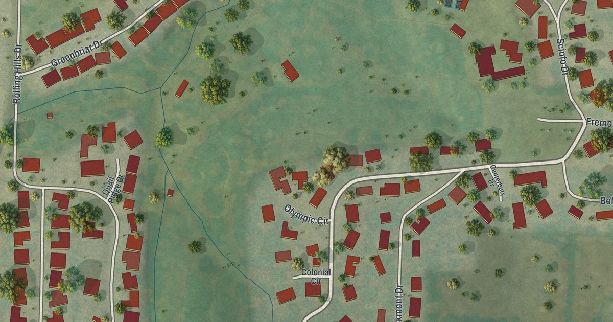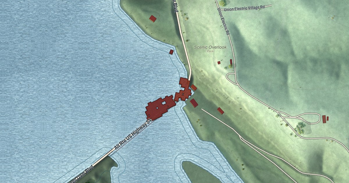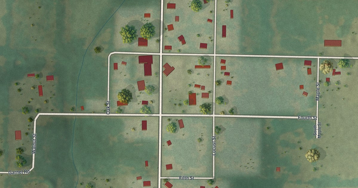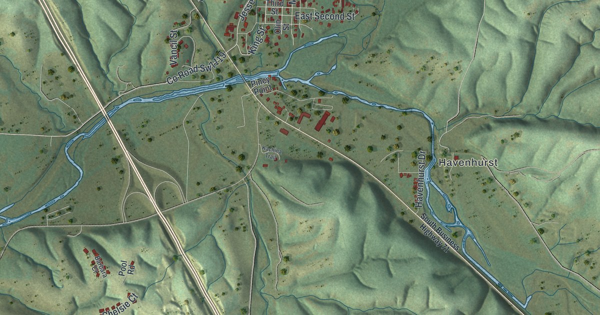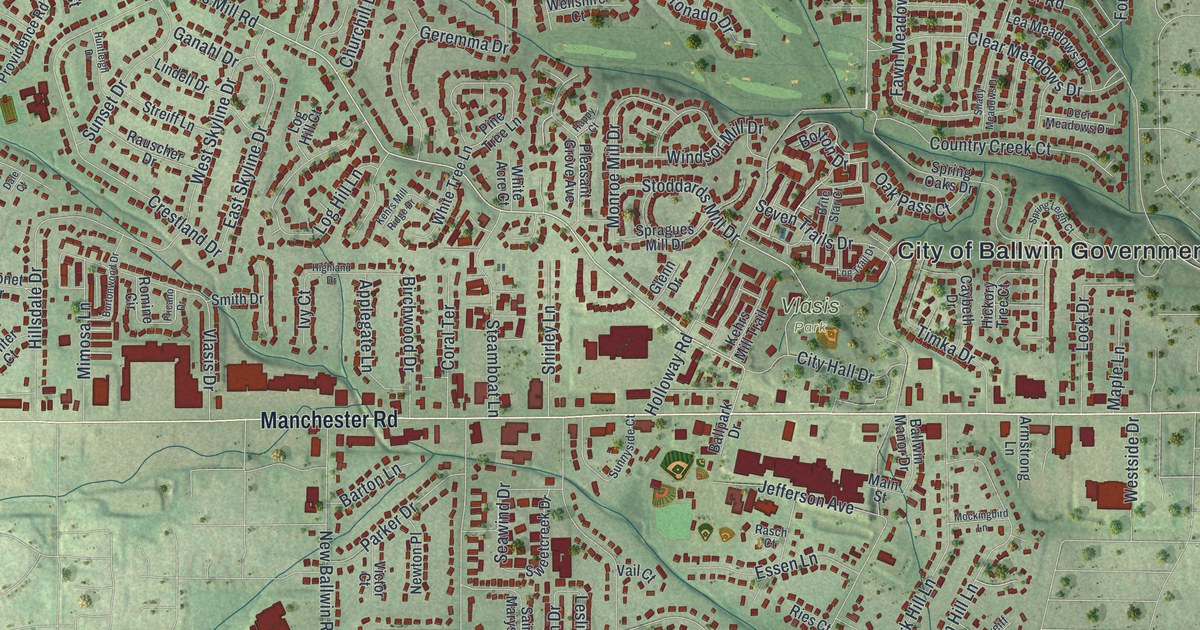
If you grew up in Ballwin, or your family still lives on a street off Manchester Road, this print is for you. It's a modern aerial view with a vintage look, made from modern data, of Ballwin in St. Louis County, Missouri, with red buildings set over soft green hills. Manchester Road is printed on it, along with the side streets your family knows.
Manchester Road, Vlasis Park and Your Street
On this map you'll find Manchester Road, Clarkson Road, Kehrs Mill Road, Big Bend Road, Woods Mill Road, New Ballwin Road, Old Ballwin Road, Main Street, Jefferson Avenue, Holloway Road, Vlasis Park, Ferris Park, the City of Ballwin Government Center, Loehr, and more. Each red shape is a building, so zoom in on the preview and look for yours.
Named for John Ball and His 1804 Farm
Ballwin's name goes back to one family farm. The State Historical Society of Missouri keeps an old file of town names. It says the town takes its name from John Ball. He settled a farm here in 1804. The town was later laid out on that farm. The town's name lives on in Old Ballwin Road, New Ballwin Road and Ballwin Commons Drive, all printed on the map.
That farm grew into a city of 31,103 people by the 2020 census. You can see how far the homes spread, with Vlasis Park and the City of Ballwin Government Center near the middle of the map.
From Old Ballwin Road to Big Bend Road
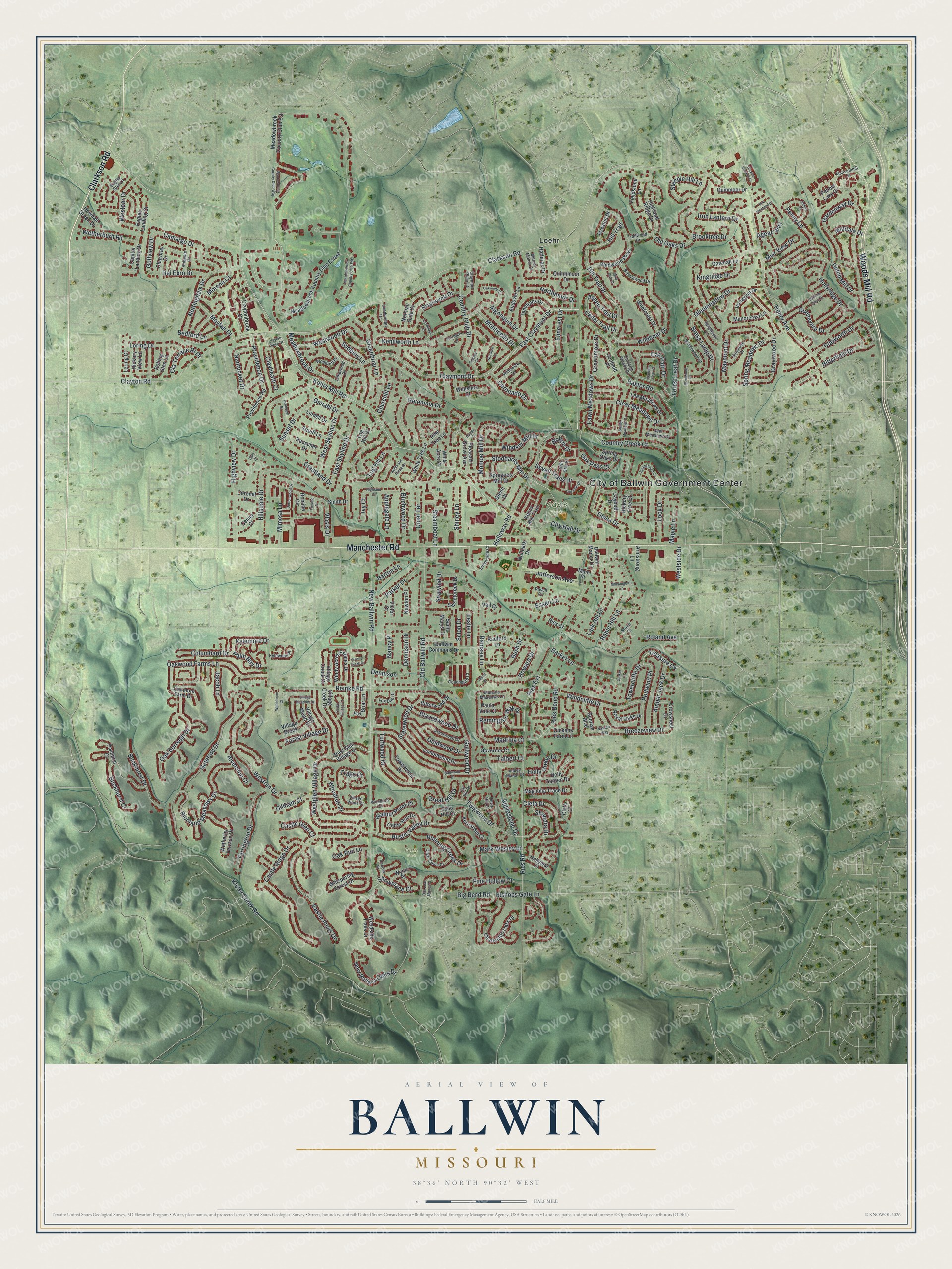
Created by KNOWOL in 2026, this print sets red buildings over soft green hills, with a cream title panel along the bottom. The panel reads "Aerial View of Ballwin, Missouri" with the coordinates 38°36' North 90°32' West.
It suits a living room, a home office or a front hall. It makes a thoughtful gift for someone who grew up near Vlasis Park, or who moved away from a street off Manchester Road. Open the preview and find their block. See sizes and frames for the Ballwin map.