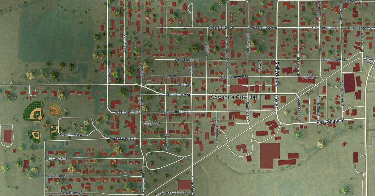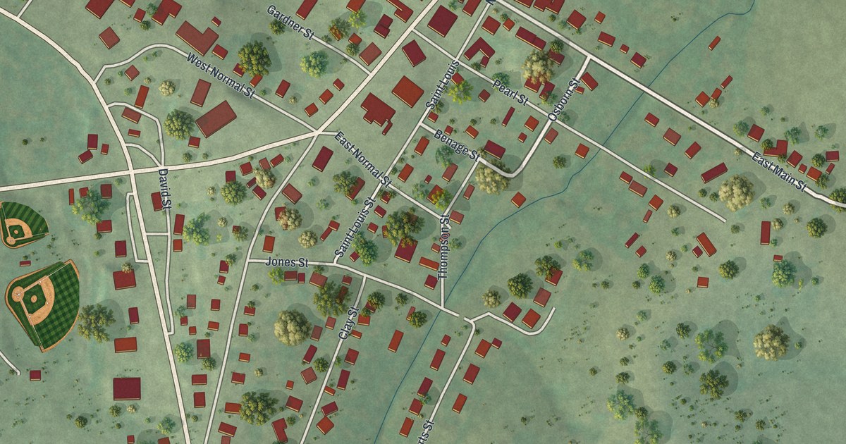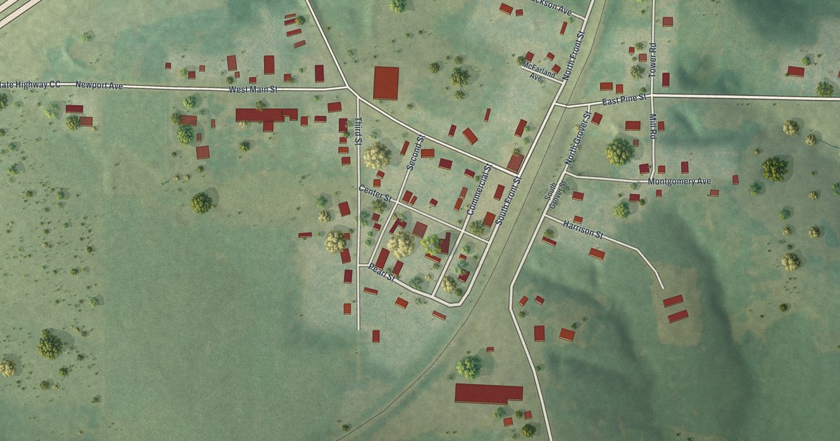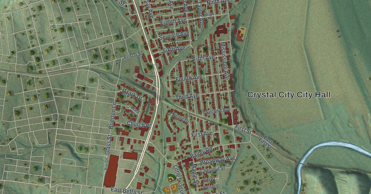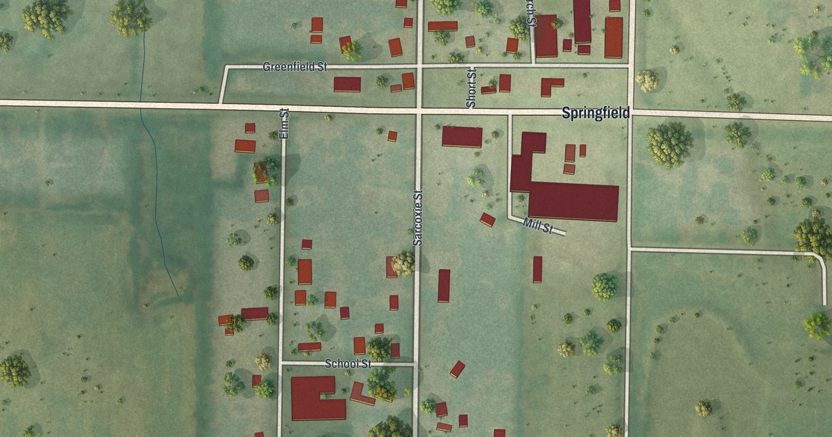
If you grew up in Avilla, these streets may still feel like home. This modern aerial view shows Avilla in Jasper County, Missouri, using modern data with a vintage feel. Red building shapes line the small street grid, with green fields and scattered trees around it.
Lamar Street, Greenfield Street and Avilla's blocks
On this map you'll find Lamar Street, Greenfield Street, Sarcoxie Street, Springfield, School Street, Church Street, Mill Street, Binney Street, Elm Street, Oak Street, Jewell Road, Short Street, and more. Each red shape is a building, so zoom in on the preview and look for yours.
Avilla's early town life included an Odd Fellows lodge. The 1912 county history names Joel T. Belk and John W. Belk among its first members. It also tells of a parade in Carthage with more than 400 Odd Fellows. Avilla's lodge took part, along with lodges from towns across the area. After the parade, the Carthage ladies served dinner to the visiting Odd Fellows in the Grove. On this print, you can explore the town those Avilla members called home through its present-day blocks along Lamar Street and Greenfield Street.
Hang Avilla's Lamar and Greenfield Street blocks at home
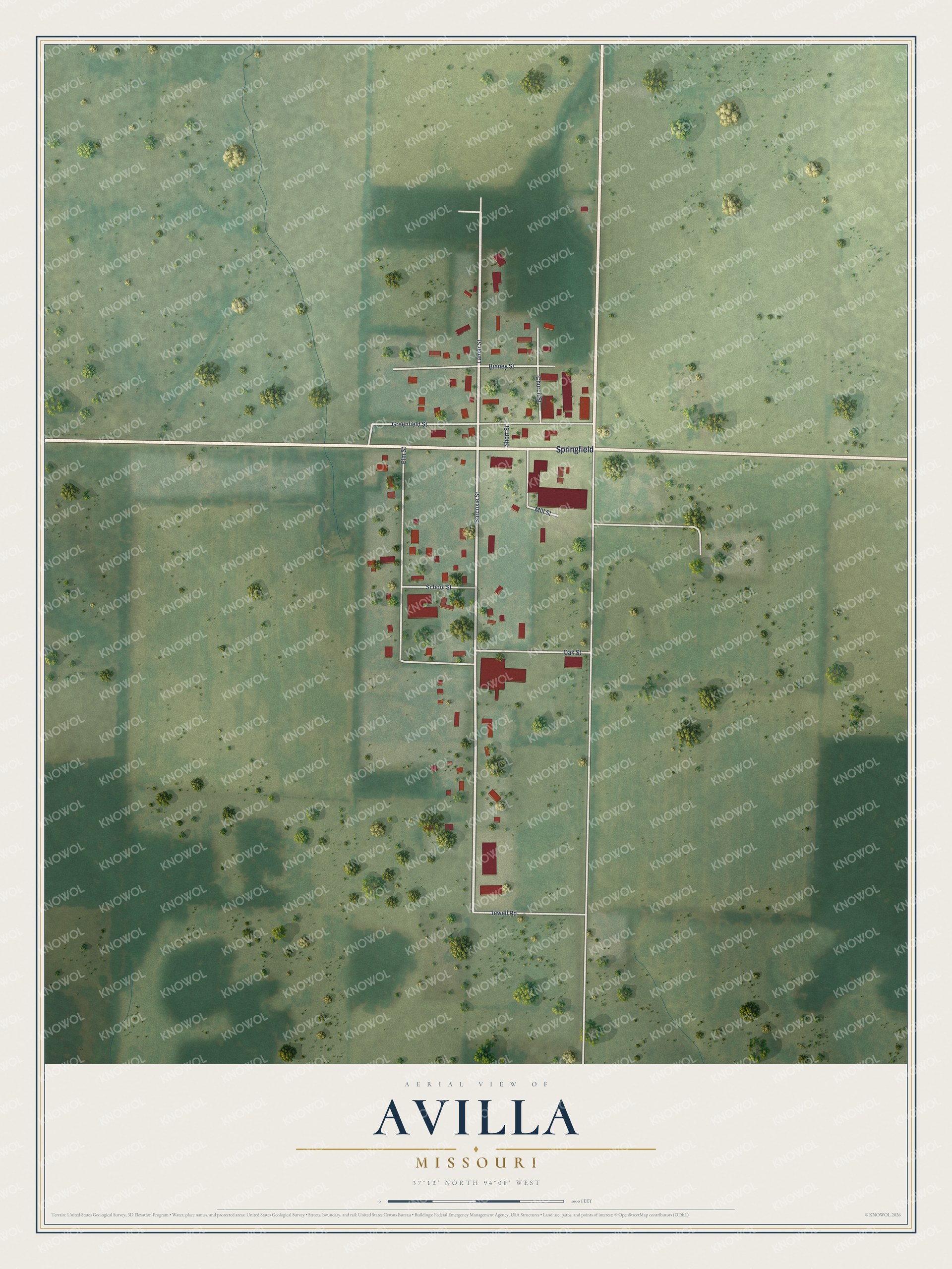
Created by KNOWOL in 2026, the print pairs soft green land with red buildings and pale roads. A cream border surrounds the view. The title panel reads AERIAL VIEW OF AVILLA, MISSOURI, with 37°12' NORTH 94°08' WEST below.
Hang it in a living room, home office or entryway. It's a warm gift for someone who grew up near School Street or has family in Avilla. Open the preview and take a closer look at the streets you know. See sizes and frames for the Avilla map.