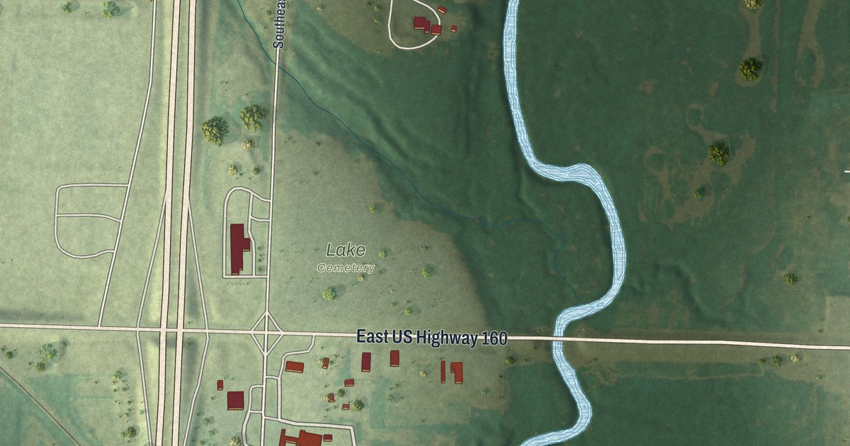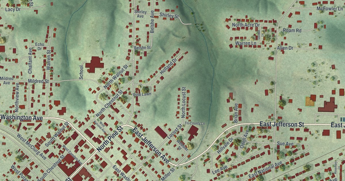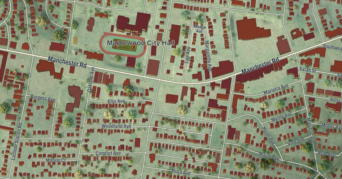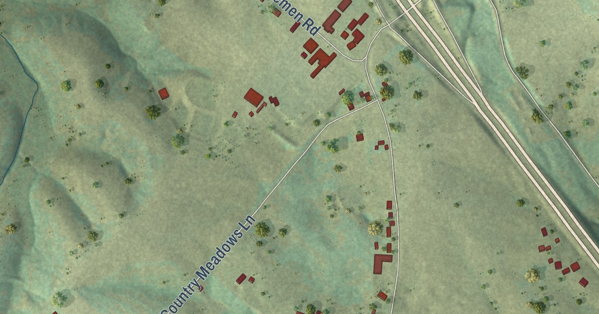
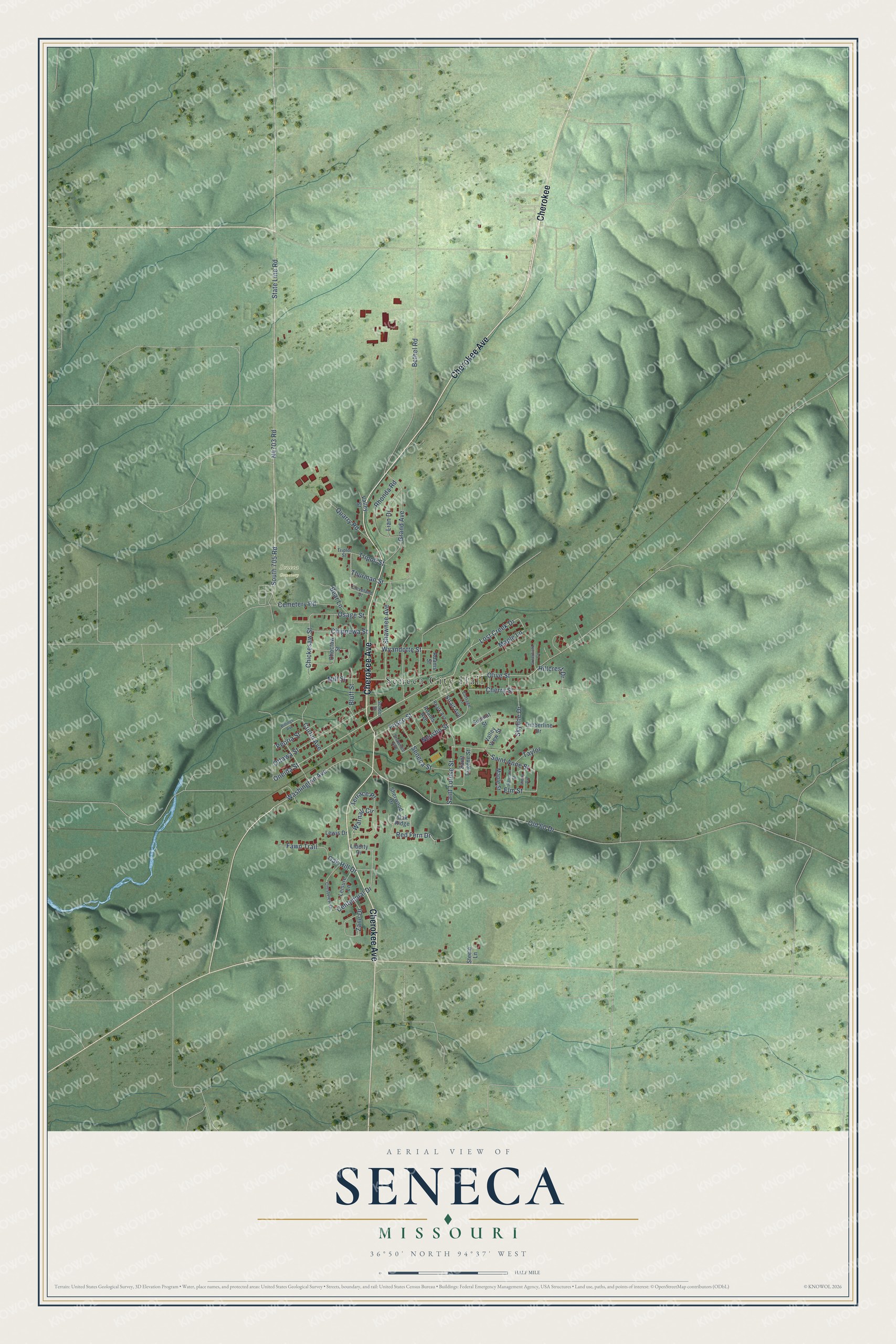
This beautifully detailed map of Seneca, Missouri was created in 2026 using aerial imagery combined with modern topographical, census, street and landmark data. It’s a one-of-a-kind view of Seneca that combines accurate data with a vintage aesthetic. The map shows every building in its true location, many of the roads carry their names, and the shaded topographic relief shows the shape of the land.
Explore an aerial view of Seneca, Missouri
On the map you’ll find Seneca City Hall, Seneca Cemetery, and Cherokee, along with Cherokee Avenue, Oneida Street, Red Fern Drive, N4703 Road, South 705 Road, Lost Creek Drive, Olive Street, Washington Avenue, Saint Louise Street, and more. If you look closely you can even find your house accurately drawn in its correct location. Zoom in on the preview to look for yours.
Did you know this piece of Seneca, Missouri history?
From the State Historical Society of Missouri: "Seneca was named for the Seneca Indians who lived just across the state line in Indian Territory."
Take a closer look at the Seneca map
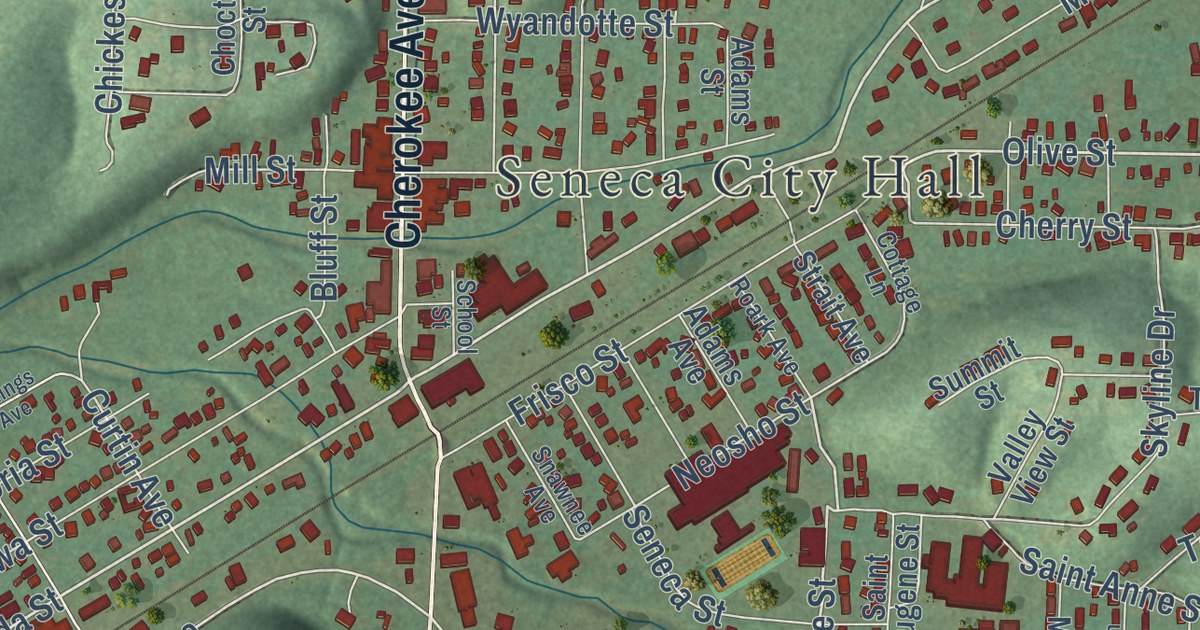
Street and place names on the Seneca, Missouri map
These names are printed on the map of Seneca, Missouri.
Places: Seneca City Hall and Seneca Cemetery.
Streets and roads: Cherokee Avenue, Cherokee, Oneida Street, Lost Creek Drive, Red Fern Drive, Olive Street, South 705 Road, Saint Louise Street, Washington Avenue, Centennial Drive, Curtin Avenue, Elm Street.
More street names, A to Z
Adams Avenue, Adams Street, Bear Lane, Bethel Road, Billings Avenue, Bluff Street, Cemetery Road, Cherry Street, Chickesaw Street, Chippewa Street, Choctaw Street, Cleveland Street, Cottage Lane, Crestview Drive, Fawn Trail, Frisco Street, Grand Avenue, Greenfield Circle, Harrison Street, Hillcrest Drive, Leisure Lane, Lewis Drive, Lian Drive, Liberty Drive, Maple Lane, Maple Street, Mill Street, Neosho Street, Oak Hill Drive, Oak Ridge, Old 60 Drive, Osage Street, Ottawa Street, Peoria Street, Quarry Road, Rhonda Road, Roark Avenue, Saint Anne Street, Saint Eugene Street, School Street, Seneca Street, Shawnee Avenue, Sherry Avenue, Sherwood Drive, Skyline Drive, Snawnee Avenue, State Line Road, Steele Lane, Strait Avenue, Summit Street, Taylor, Terrace Place, Thurman Street, Timberline Drive, Triploi Street, Tripoli Street, Valley Street, Valley View Street, Warnall Circle, Wyandotte Street, Zane Drive.
See the Seneca, Missouri map on a wall
The Seneca map as an 18 x 24 inch print in a black frame.

This beautifully detailed map of Seneca makes an attractive addition to your office, library, or den, and it can even be used to teach children the geography and history of the area. It also makes a great gift for someone who left Seneca and still calls it home. When you’re done exploring, click here to get your copy of the Seneca map.