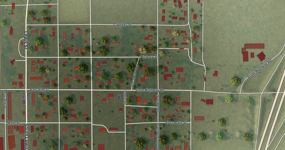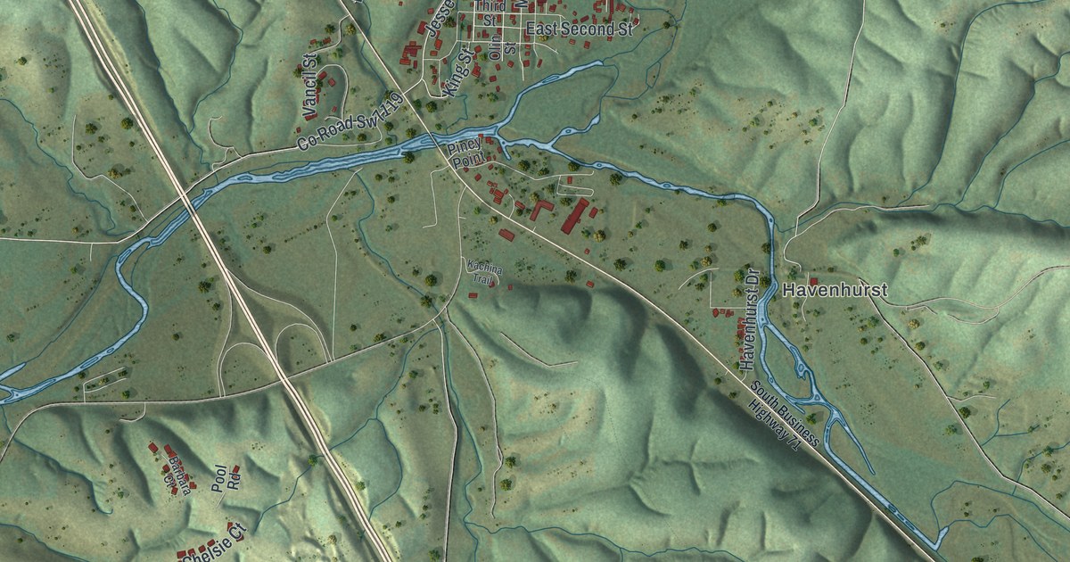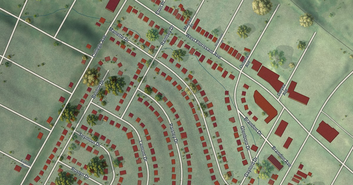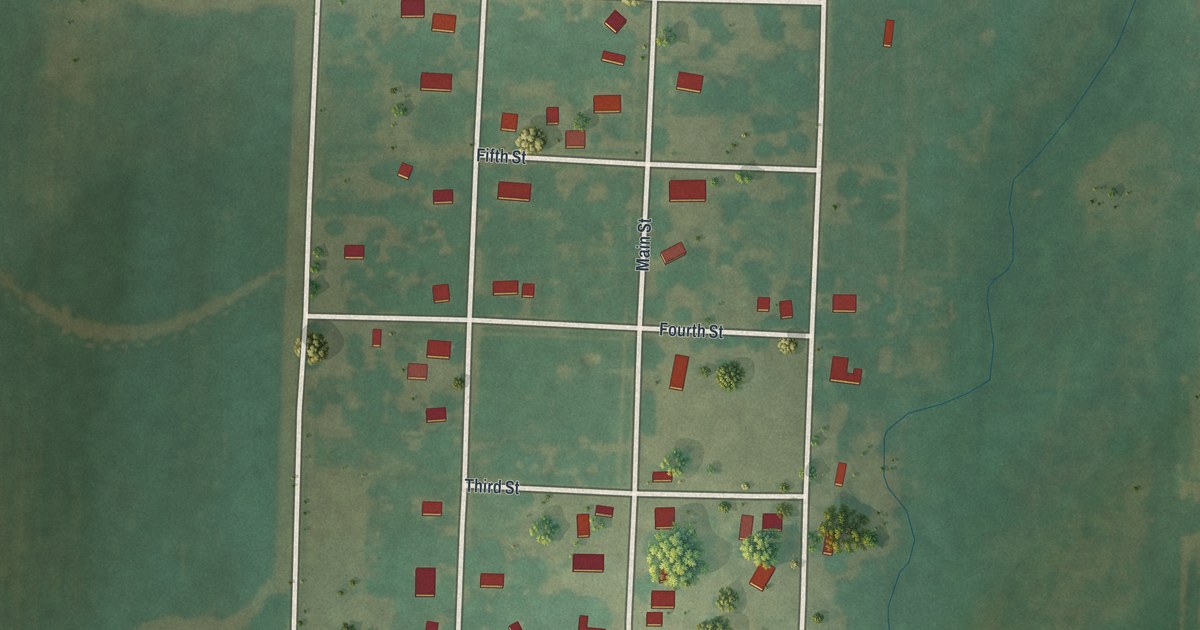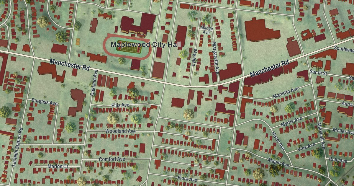
If you grew up on a street off Sutton Boulevard, or you know Manchester Road by heart, this map is for you. It's a modern aerial view of Maplewood, made from modern data with a vintage feel, in St. Louis County, Missouri. More than 5,000 red buildings fill the sheet, from Maplewood City Hall to the rows of homes along Flora Avenue. A blue creek winds along the bottom, past Deer Creek Park and Lake Junction.
Manchester Road and Sutton Boulevard, Maplewood's Old Business Corner
On this map you'll find Manchester Road, Sutton Boulevard, South Big Bend Boulevard, Maplewood City Hall, Ryan Hummert Memorial Park, Kellogg Park, Deer Creek Park, Lindbergh Park, Hazel Avenue, Bredell Avenue, Marietta Avenue, Laclede Station Road, Ellendale, and more. Each red shape is a building, so zoom in on the preview and look for yours.
Maplewood's old business corner is where Manchester Road meets Sutton Boulevard. In 2006, those blocks were added to the National Register of Historic Places. The listing is called the Maplewood Commercial Historic District at Manchester and Sutton. It runs roughly between Manchester, Marietta, Marshall and Sutton. On the map, find where the two main roads cross. The red buildings packed along both roads are part of that district.
A few more Maplewood buildings made the list too. The Dr. Leander W. Cape Buildings stand at Hazel and Sutton, and they were listed in 2005. The Saratoga Lanes Building, at 2725 Sutton Blvd., followed in 2008. Over on Bredell Avenue, the Charles S. and Mary Warder Rannells House was listed in 2006. Hazel Avenue, Sutton Boulevard and Bredell Avenue are all printed on the map.
Maplewood, a Post Office in Central Township
Maplewood shows up in an old list of St. Louis County place names. The State Historical Society of Missouri keeps an old file of place names. It lists Maplewood as a post office in Central Township, on the edge of St. Louis City. Today Maplewood City Hall sits near the middle of the map, with the town's homes spread out on every side.
Sutton Boulevard and Manchester Road on Your Wall
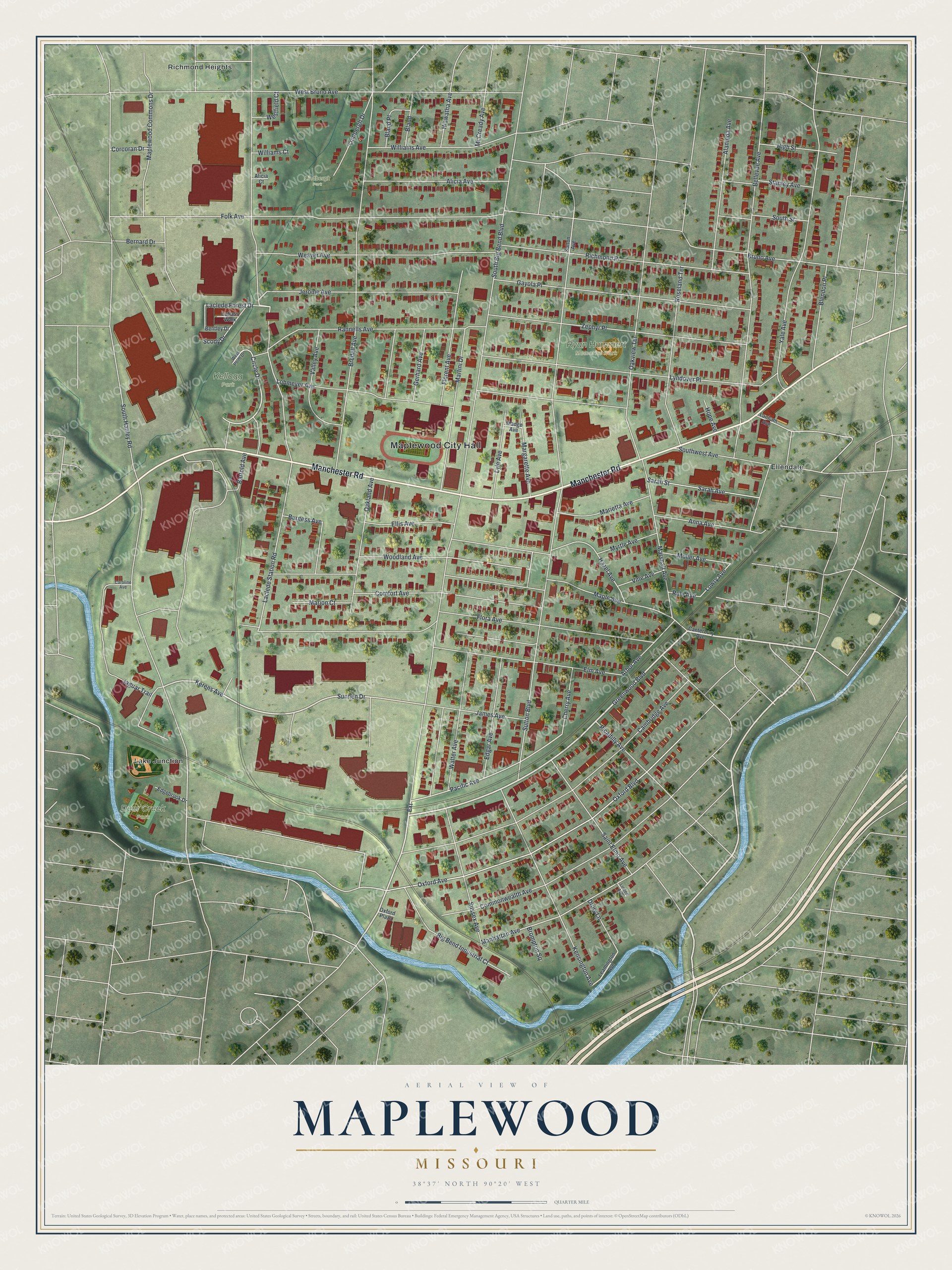
Created by KNOWOL in 2026, this print shows Maplewood from above in soft greens, with red buildings, pale streets and a winding blue creek. The title panel reads "Aerial View of Maplewood, Missouri" with the coordinates 38°37' North 90°20' West.
It suits a living room, a hallway or a home office. It's a good gift for anyone who grew up near Maplewood City Hall, or who moved away and still misses Manchester Road. Open the preview and find your own street. See sizes and frames for the Maplewood map.