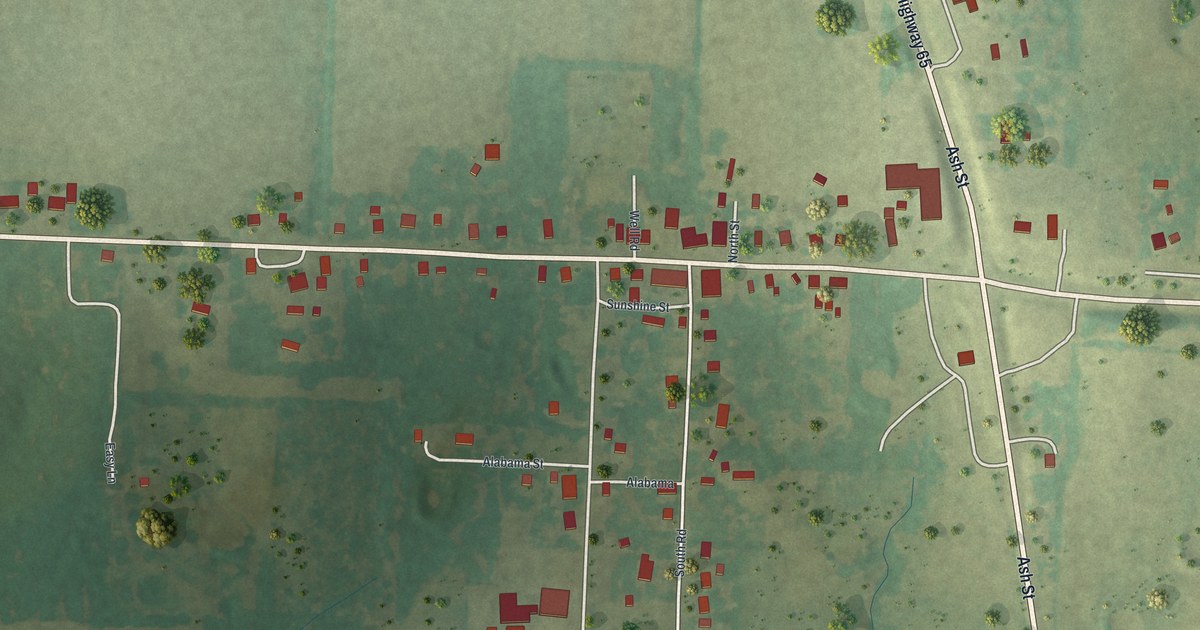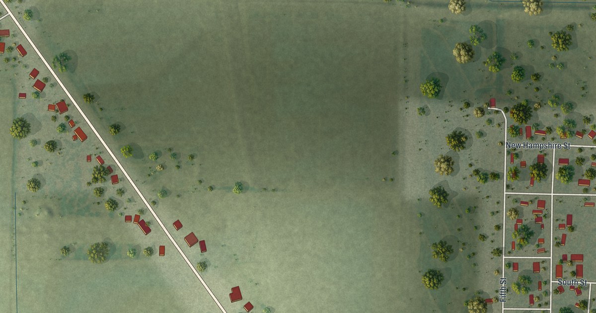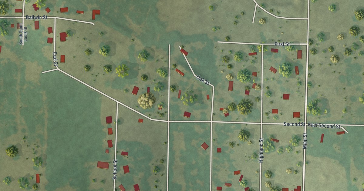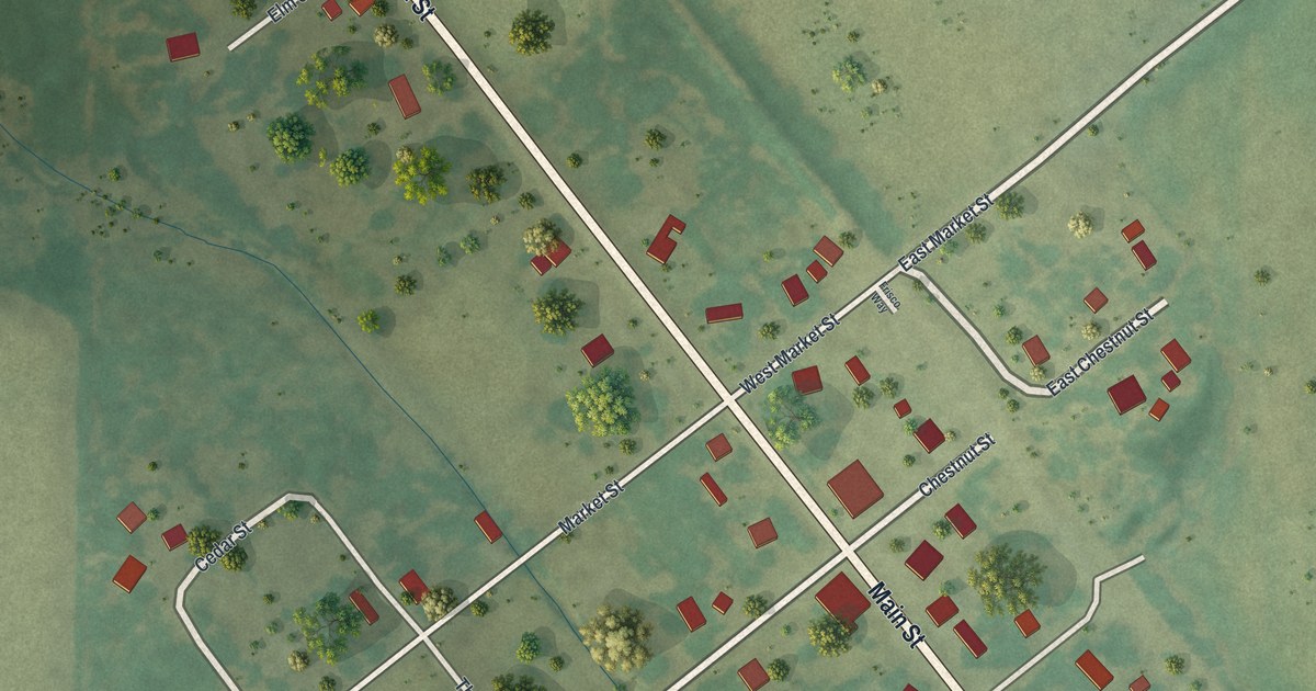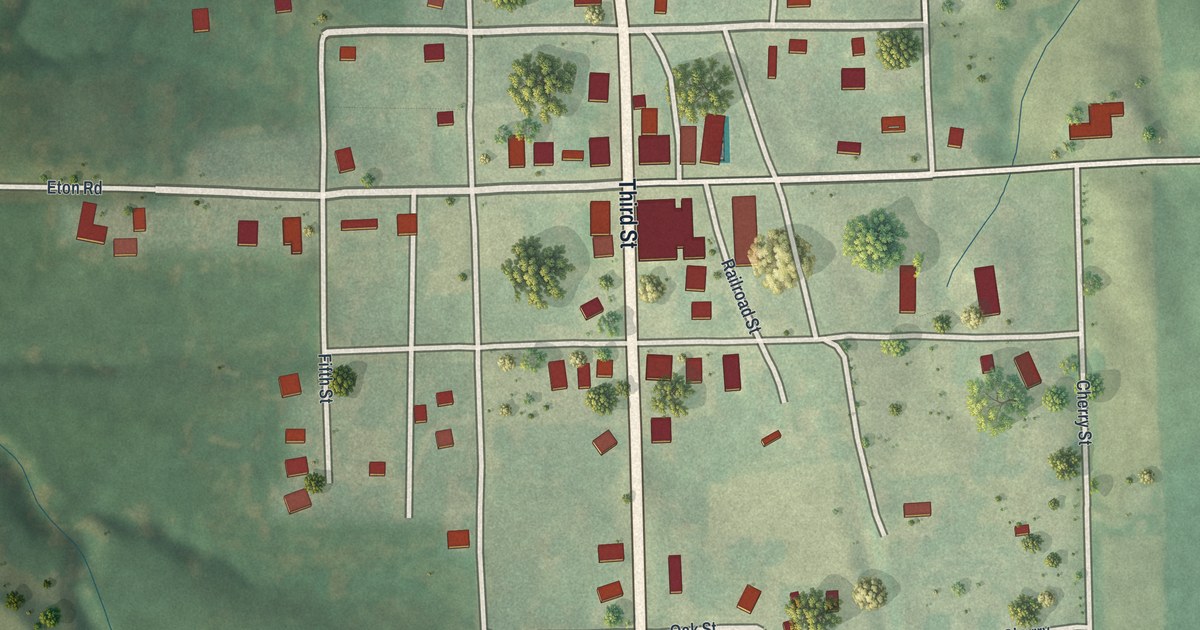
If you grew up on Third Street or still have family in Purdin, this map is a piece of home. It's a modern aerial view of Purdin in Linn County, Missouri, made from modern data and finished with a vintage feel. Third Street runs from the top of the sheet to the bottom, and Main Street crosses it in the middle of town. Purdin Cemetery sits in its loop of road at the upper left. Green farm fields and wooded draws fill the rest of the sheet, with a small blue pond in the top right corner.
Third Street, Main Street and the Streets of Purdin
On this map you'll find Third Street, Main Street, Eton Road, Railroad Street, Church Street, Oak Street, Poplar Street, Cherry Street, Ada Street, Cobb Street, First Street, Second Street, Fourth Street, Fifth Street, Purdin Cemetery, and more. Each red shape is a building, so zoom in on the preview and look for yours.
Named for John I. Purdin
Purdin carries the name of the man who started it. A 1912 history of Linn County says the town was founded by John I. Purdin and named in his honor. His grandson went on to lead the Stockgrowers Bank of Purdin. The same book gives the town's early firsts. A man named Riley opened the first hotel in 1887. In 1894, the Bank of Purdin opened for business. Those years sit behind the small blocks you see where Main Street meets Third Street.
The Purdin School in 1912
The 1912 book also spent a full page on the Purdin school. It said the school stood in the south part of town, away from the noise of the business section. It had ball fields and courts around it. The older students ran a literary society that met twice a month. About half of the students from outside town drove in each day when the weather was good. The writer put it simply: "Purdin people are justly proud of their public school."
Purdin Cemetery, Third Street and Home
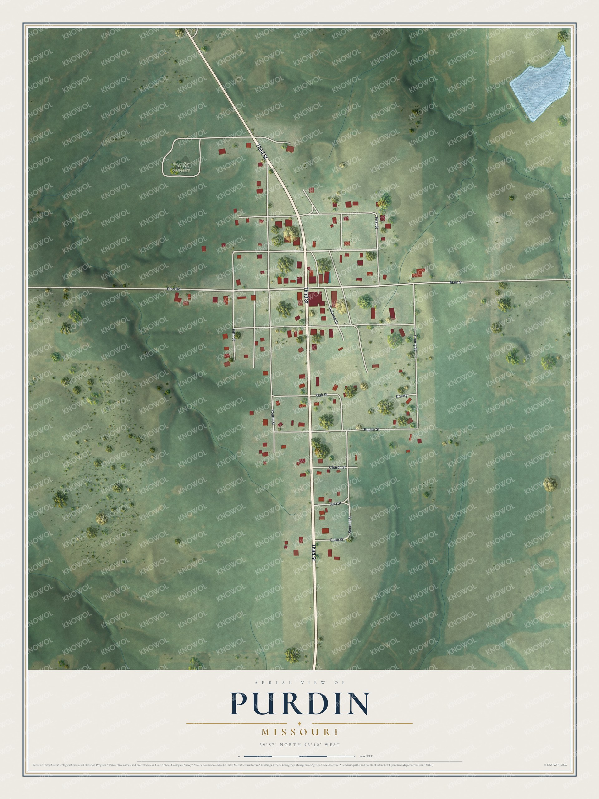
Created by KNOWOL in 2026, this print shows Purdin from above in soft greens, with red buildings, pale streets and the shaded rise and fall of the land. The title panel at the bottom reads "Aerial View of Purdin, Missouri" with the coordinates 39°57' North 93°10' West.
It fits a living room, a kitchen, a front hall or a farm office. It's a good gift for someone who went to school in Purdin, or who has family resting in Purdin Cemetery and lives far away now. Open the preview and find Third Street, Main Street and your own block. See sizes and frames for the Purdin map.