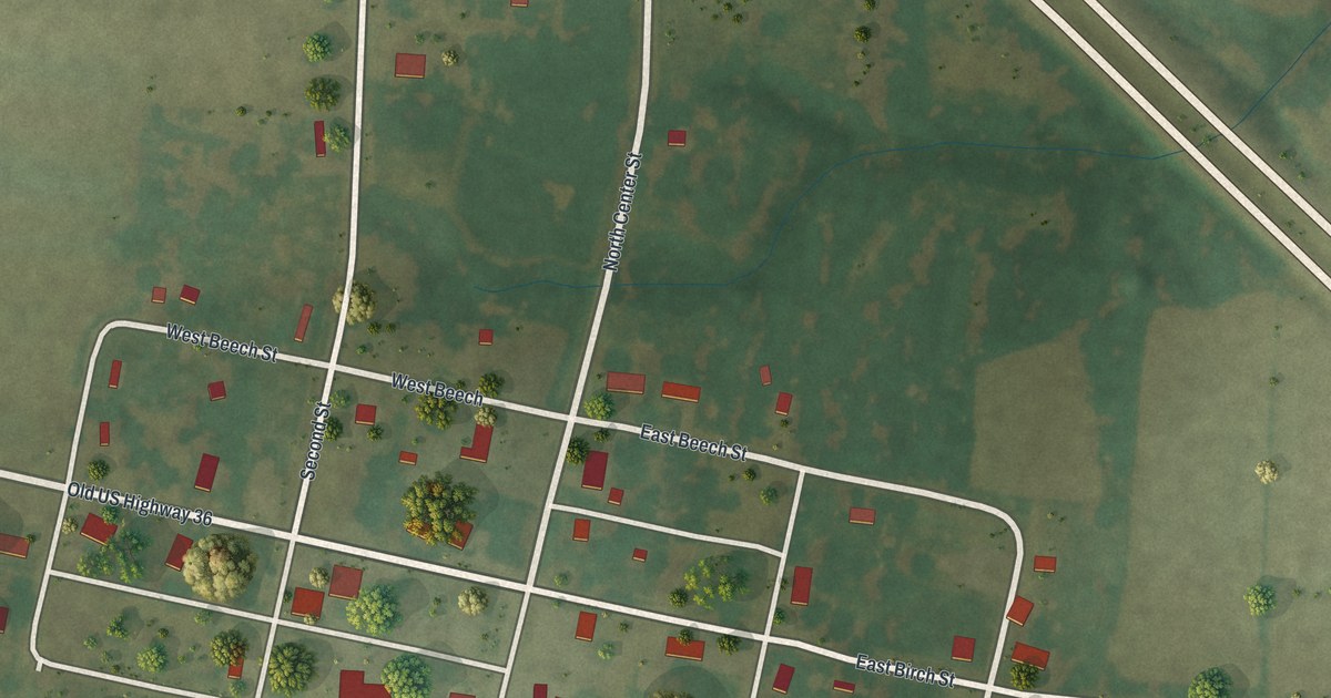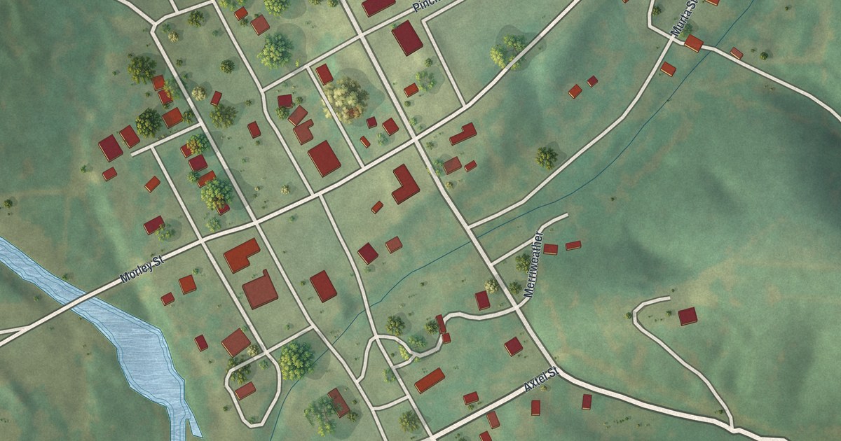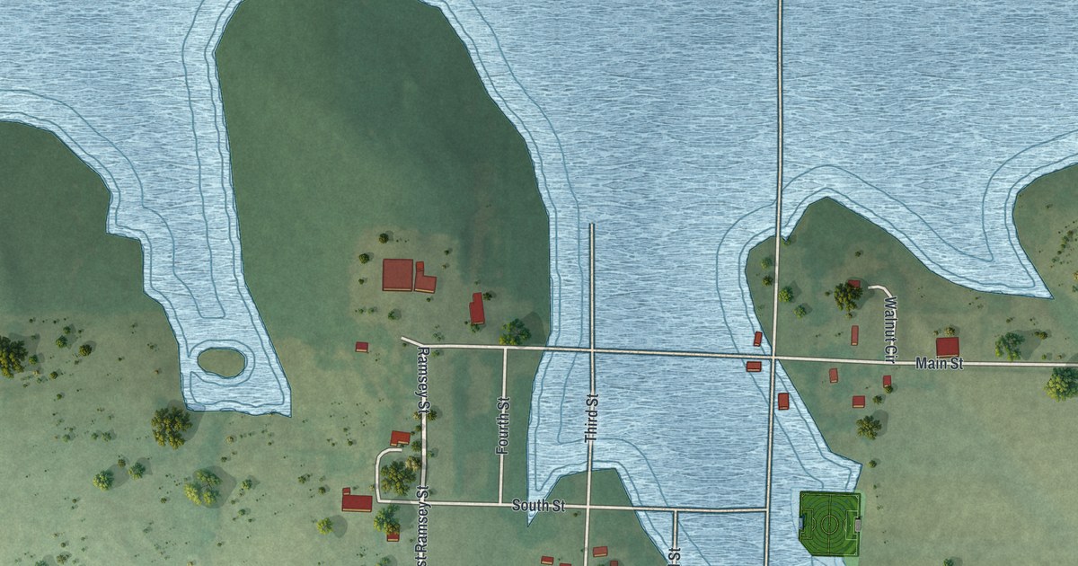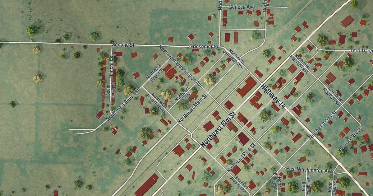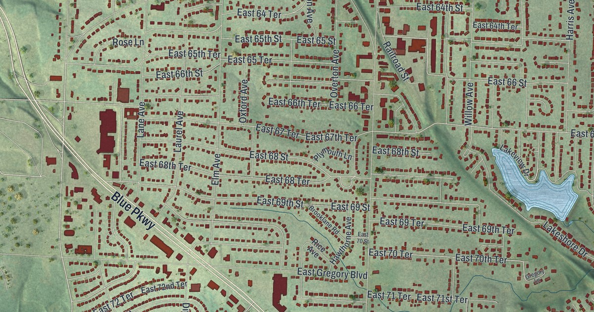
If you grew up in Raytown, or still drive Raytown Road and Blue Ridge Boulevard, this map will feel like home. It's a new aerial view of Raytown in Jackson County, Missouri, made from modern data and given a vintage look. Soft green hills fill the sheet. Thousands of small red shapes mark the homes and shops, and Blue Parkway cuts across the lower half on a long slant.
Raytown Streets and Parks on the Map
On this map you'll find Raytown Road, Blue Ridge Boulevard, Blue Parkway, Woodson Road, Raytown City Hall, Kenagy Park, Kritser Park, Mount Olivet Cemetery, East Gregory Boulevard, East 63rd Street, Westridge Road, Spring Valley Road, Lakeshore Drive, Hidden Lake Drive, and more. Each red shape is a building, so zoom in on the preview and look for yours.
Why Raytown May Be Named for Its Roads
Where did the name Raytown come from? There's more than one answer. One comes from Conard, who wrote in 1901 that the name came from the many roads that met there. The State Historical Society of Missouri keeps that account in its file of Missouri place names. Raytown Road and Blue Ridge Boulevard are both printed on the map, and Raytown City Hall is printed near the top of the sheet.
Raytown also has a home on the National Register of Historic Places. It's the Rice-Tremonti House, at 8801 East 66th Street. It was added to the Register in 1979. East 66th Street is printed on the map, and the house's address is on it.
A Raytown Map From Blue Ridge Boulevard to Kenagy Park
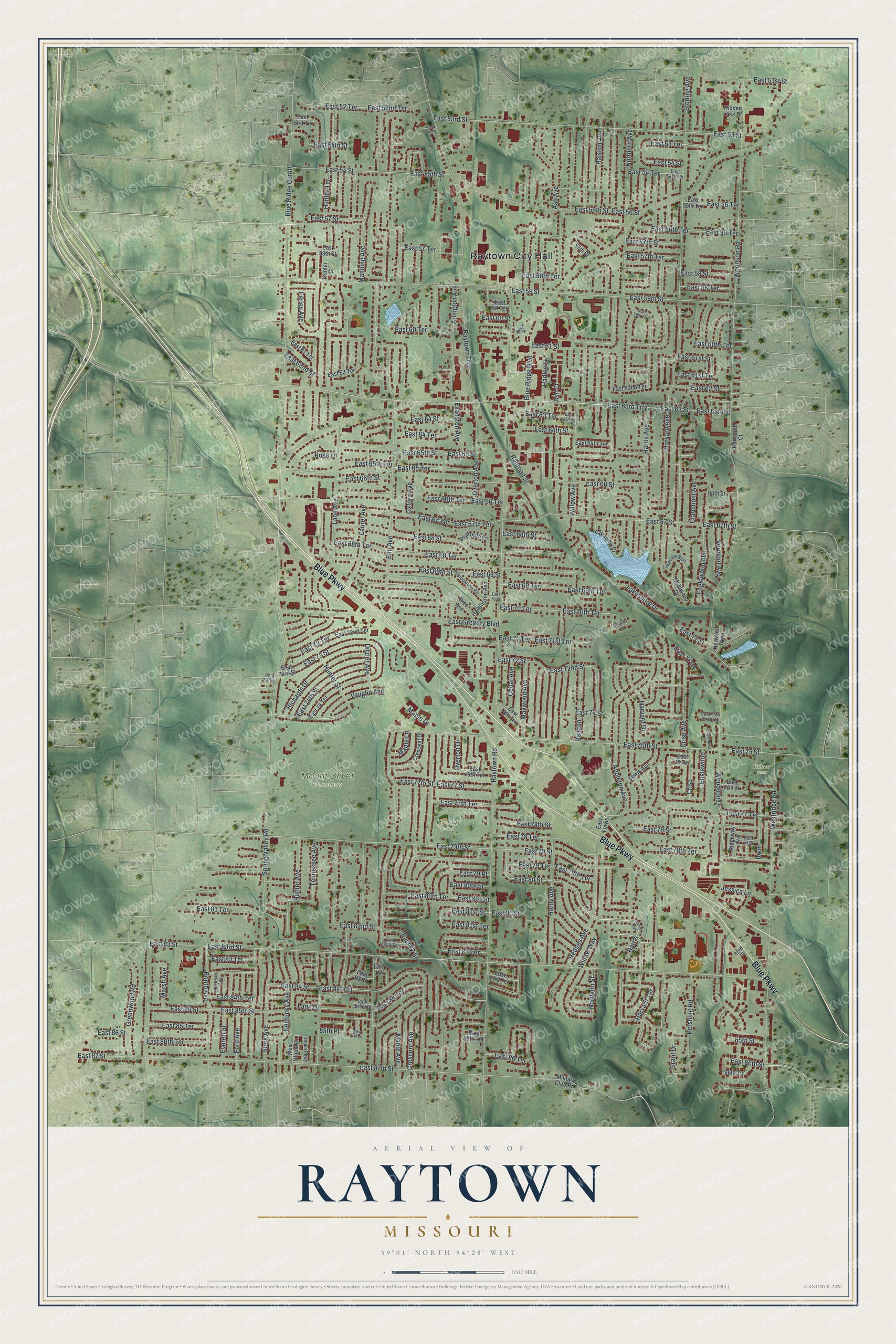
Created by KNOWOL in 2026, the print shows Raytown from above in soft greens, with red buildings and small pale blue lakes. Shaded hills roll around the edges of town. The cream title panel at the bottom reads AERIAL VIEW OF RAYTOWN, MISSOURI, with 39°01' NORTH 94°28' WEST printed below.
It fits a living room, a hallway or a home office. It's a good gift for someone who grew up near Kenagy Park and has since moved away. Open the preview and find your own street. See sizes and frames for the Raytown map.