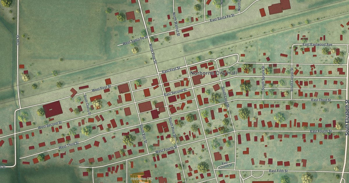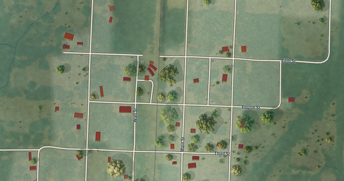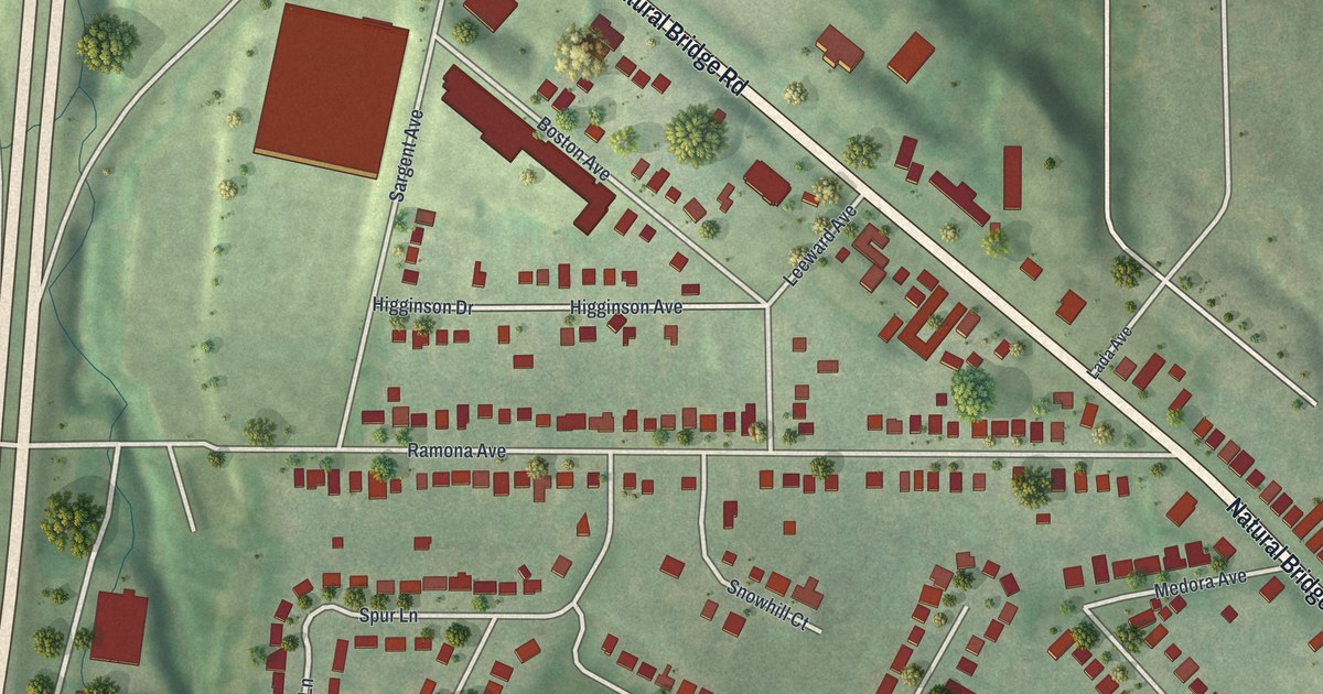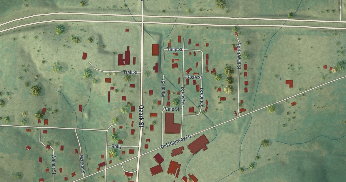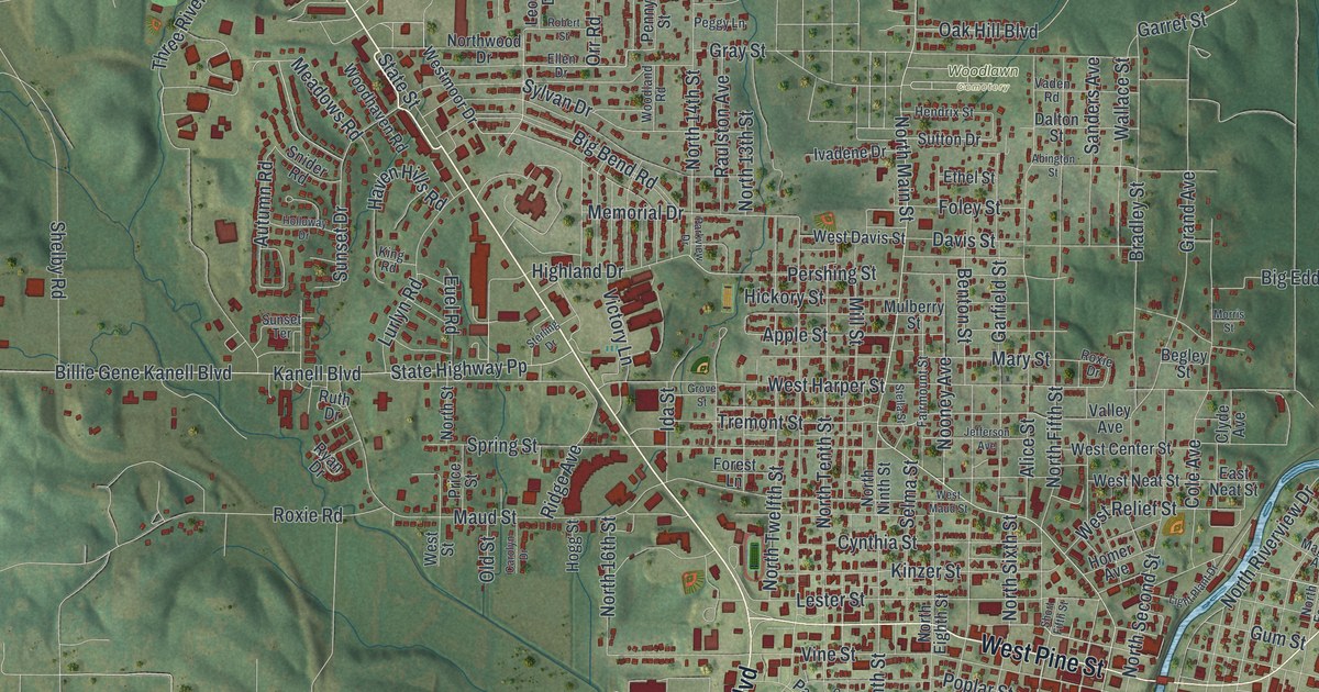
If you grew up near Poplar Bluff City Hall, or you still drive North Westwood Boulevard every week, this map is for you. It's a modern aerial view of Poplar Bluff in Butler County, Missouri, built from modern data and given a vintage feel. Green hills roll across the whole sheet. A winding blue river curls down the right side. Red buildings pack the blocks downtown and spread out along the main roads.
Poplar Bluff's two railroad depots
On this map you'll find North Main Street, West Pine Street, East Pine Street, Poplar Street, South Sixth Street, Cherry Street, Vine Street, Railroad Avenue, North Westwood Boulevard, Barron Road, Poplar Bluff City Hall, Whiteley Park, Woodlawn Cemetery, Vinegar Hill, Kelly Town, Loma Linda, and more. Each red shape is a building, so zoom in on the preview and look for yours.
Poplar Bluff has two old train depots on the National Register of Historic Places. One is the St. Louis, Iron Mountain and Southern Railroad Depot. Its address is 400 South Main Street. The other is the St. Louis-San Francisco Railroad Depot, at 303 Moran Street. Both were listed in December 1994. The Butler County Courthouse, the Poplar Bluff Public Library and the Zehe Building on Poplar Street were listed that same year. All of them sit close to downtown, where Poplar Bluff City Hall is printed near the center of the sheet. The town's mail goes back even further. The State Historical Society of Missouri says the post office opened on February 27, 1850.
South Sixth Street and the old schools
More of the town joined the list in 1998. The South Sixth Street Historic District was one. So were Mark Twain School on North Main Street and Wheatley Public School on Garfield Street. Family homes made it too, including the John Archibald Phillips House on Cherry Street and the Thomas Moore House on Lester Street. Later came the Rodgers Theatre Building in 2001 and the Williams-Gierth House on Vine Street in 2012. Garfield Street, Cherry Street, Lester Street and Vine Street are all printed on this map.
Poplar Bluff from Loma Linda to Vinegar Hill
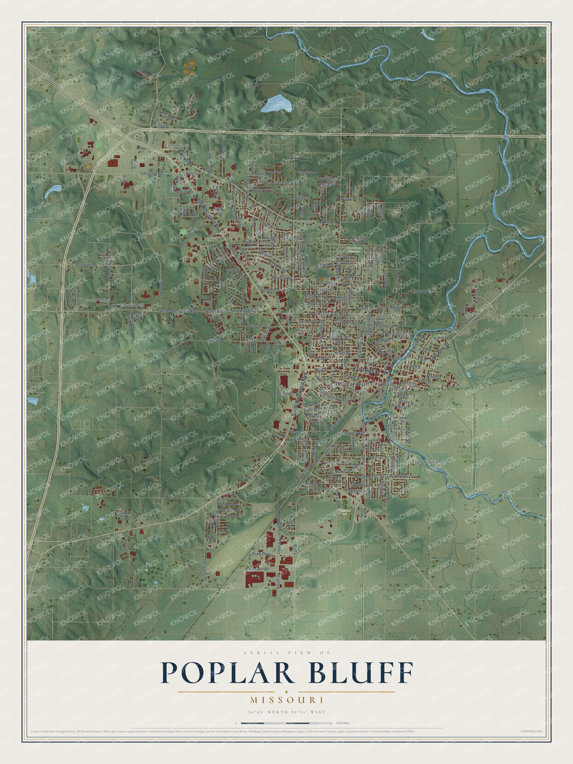
Created by KNOWOL in 2026, the print shows Poplar Bluff from above in soft greens, with shaded hills, blue water and red buildings. The title panel reads "Aerial View of Poplar Bluff, Missouri" with the coordinates 36°45' North 90°24' West.
It suits a living room, a front hall or a home office. It's a good gift for someone who moved away from Poplar Bluff. Open the preview and look for Whiteley Park or the street they grew up on. See sizes and frames for the Poplar Bluff map.