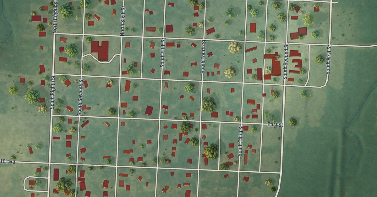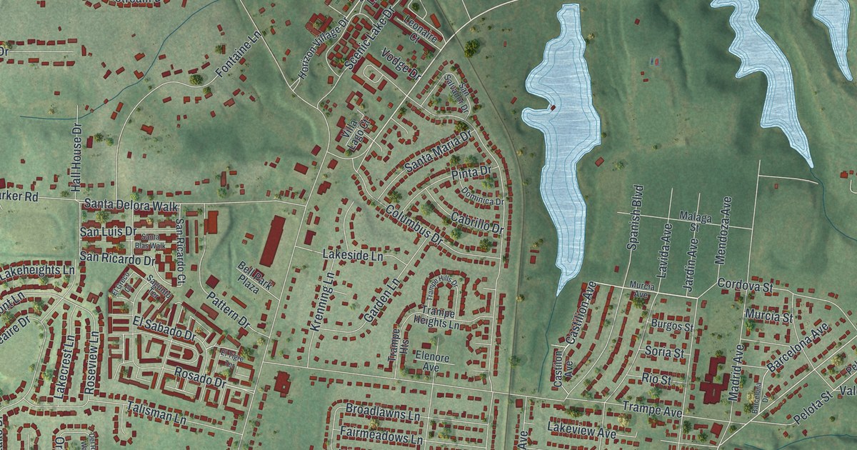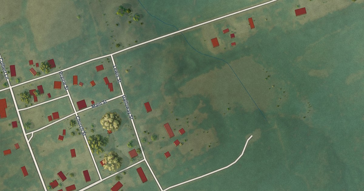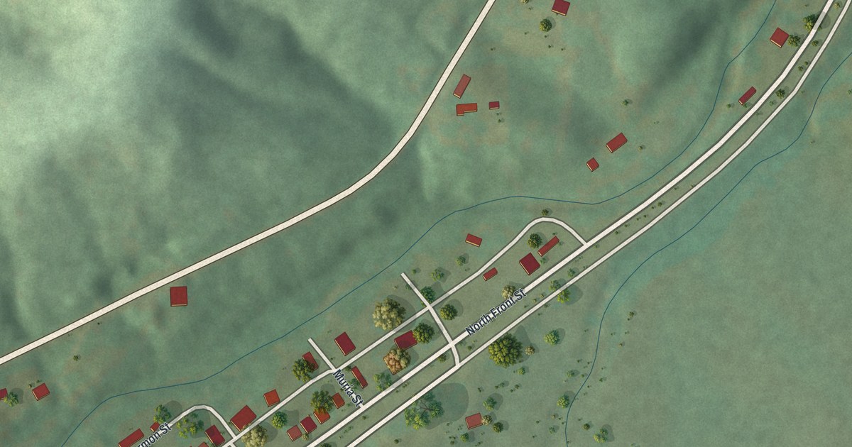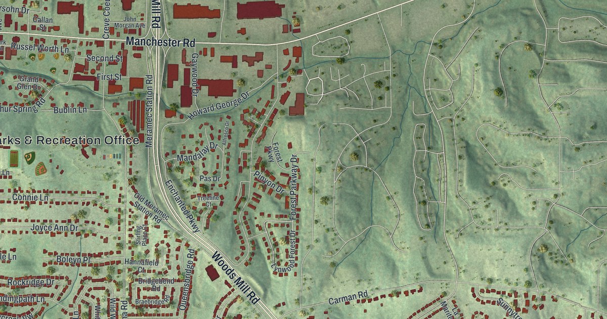
If you grew up off Manchester Road or Woods Mill Road, this map puts your part of town on the wall. It's a modern aerial view of Manchester with a vintage feel, in St. Louis County, Missouri. The two big roads cross near the middle. Thousands of small red buildings fill the streets around them. Green hills roll out past the edge of town, and a small blue lake sits in the lower right corner.
Manchester Road, Woods Mill Road and the streets between
On this map you'll find Manchester Road, Woods Mill Road, Big Bend Road, Carman Road, Sulphur Spring Road, Baxter Road, Hanna Road, Henry Avenue, First Street, Second Street, School Street, Highlands Boulevard, the Parks & Recreation Office, and more. Each red shape is a building, so zoom in on the preview and look for yours.
Bryson O'Hara, Manchester's first settler
Manchester's story goes back a long way. Early in 1800, a man named Bryson O'Hara settled here for good. The Ramsay Place Names File, kept by the State Historical Society of Missouri, calls him the first permanent settler. That was more than 225 years ago. Today thousands of homes and shops fill the streets on this map.
Two old buildings in town are on the National Register of Historic Places. The Lyceum, at 920 Manchester Road, was listed in 1979. The Manchester Methodist Episcopal Church, at 129 Woods Mill Road, was listed in 1983. Both are near the center of the map, around Manchester Road and Woods Mill Road. On the map, look for the spot where Manchester Road crosses Woods Mill Road.
Manchester, from Big Bend Road to Baxter Road
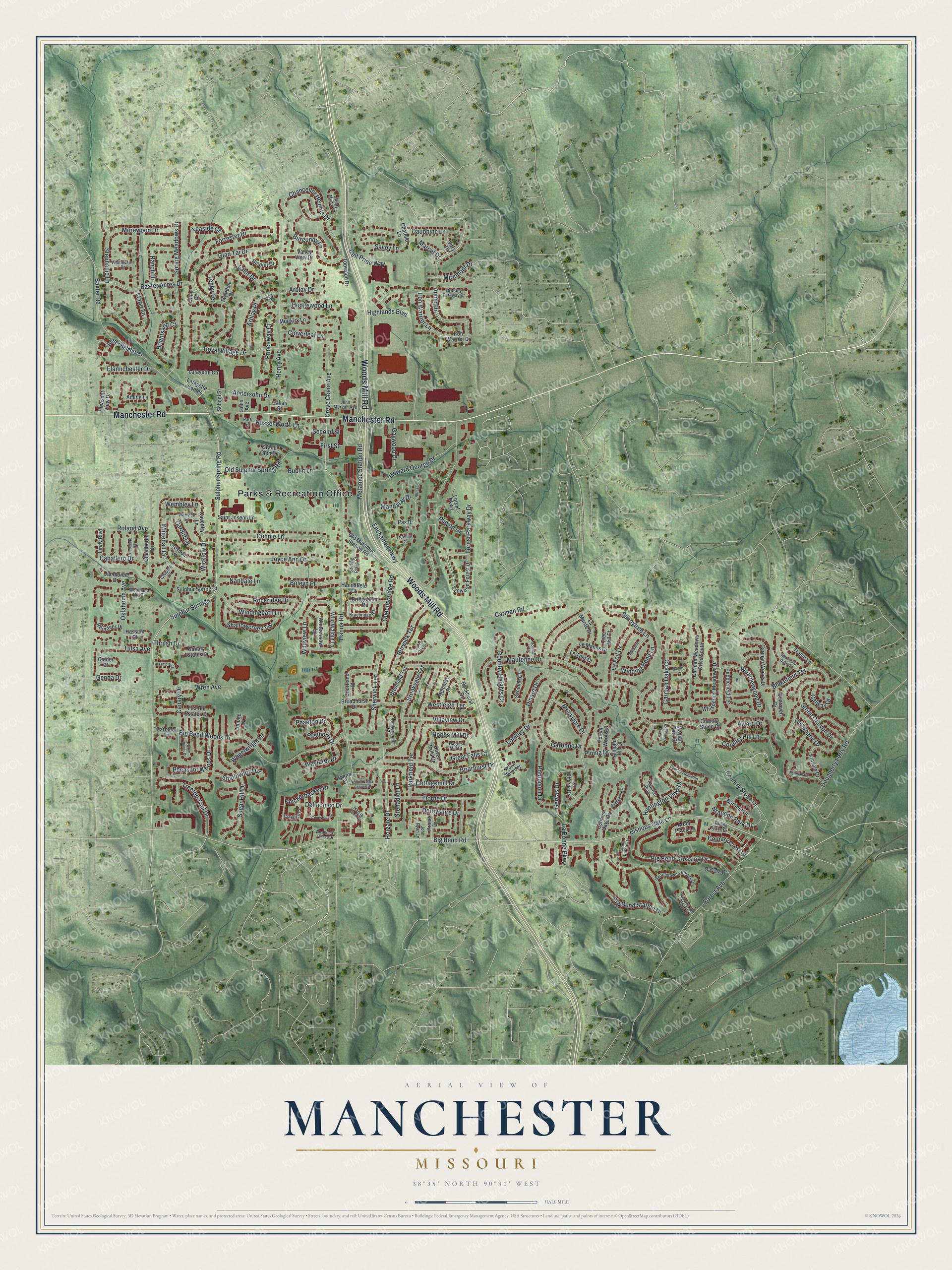
Created by KNOWOL in 2026, this print shows Manchester in soft greens, with shaded hills, thin pale roads and red buildings. The title panel reads "Aerial View of Manchester, Missouri" with the coordinates 38°35' North 90°31' West.
It fits a living room, a home office or the hallway by the front door. It's a kind gift for someone who grew up near the Parks & Recreation Office, or for a friend who moved away from St. Louis County. Open the preview and find your street. See sizes and frames for the Manchester map.