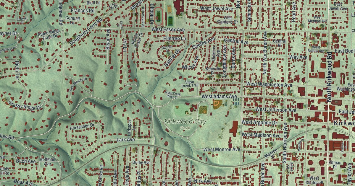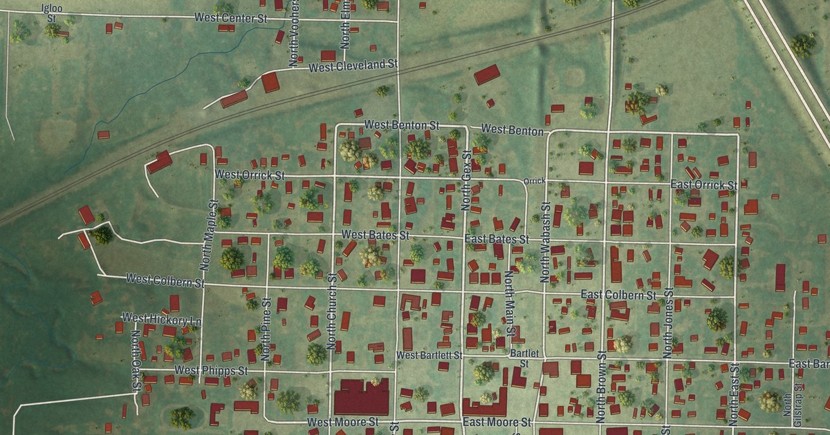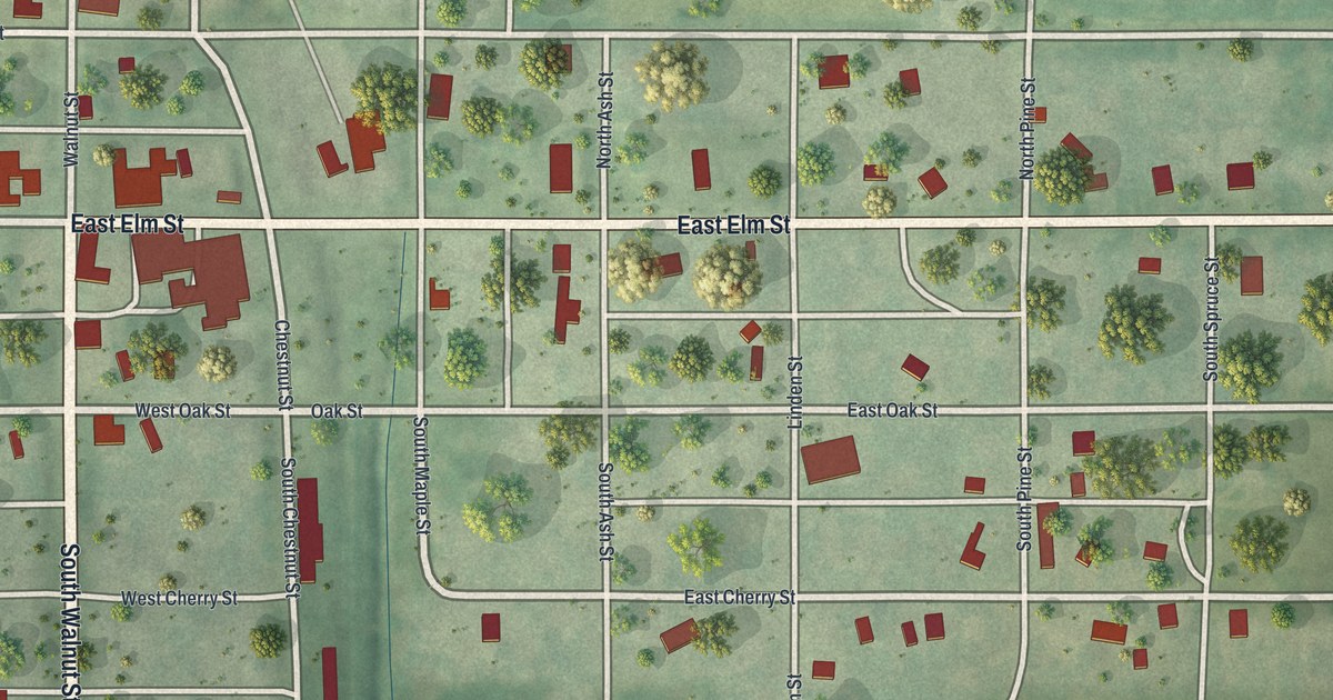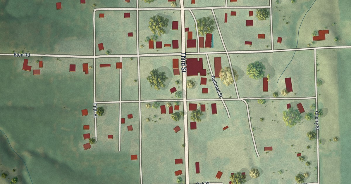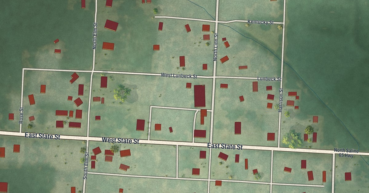
If you grew up on East State Street or have family in Malta Bend, this map is for you. It's a modern aerial view of Malta Bend in Saline County, Missouri, made from modern data and given a vintage feel. You can see the small grid of streets around East State Street, the rail line just north of town, and open prairie farmland on every side. A ball diamond sits on the south side of town, and a thin blue stream winds down the east side.
The Streets of Malta Bend
On this map you'll find East State Street, West State Street, North Linn Street, South Linn Street, East Agnes Street, West Agnes Street, North Elm Street, South Elm Street, Lunbeck Street, Harrison Street, East Pacific Street, Kentucky Street, Cleveland Street, Pine Street, and more. Each red shape is a building, so zoom in on the preview and look for yours.
Who Built the First Houses in Malta Bend
The first houses in Malta Bend have a builder's story. The History of Saline County, printed in 1881, tells it. A carpenter came here in 1868. He was the first carpenter to settle in the place. The book also says a man named Vanmeter built the first house and the first church in Malta Bend. He built most of the first houses in town, too. On the map, the red shapes along East State Street and North Linn Street are the town's buildings today.
Cooper's Bear Drive Near Malta Bend
The same book tells an older tale from the open land nearby. Men out hunting cattle came upon a full grown black bear on the plains near the present town site. They had no guns, only their cattle whips. So they cracked the whips, yelled, and drove the bear all the way to a house. There they got a gun. People called it "Cooper's bear drive." The green prairie that fills this map is the same kind of land where it happened.
A Map of Malta Bend and East State Street
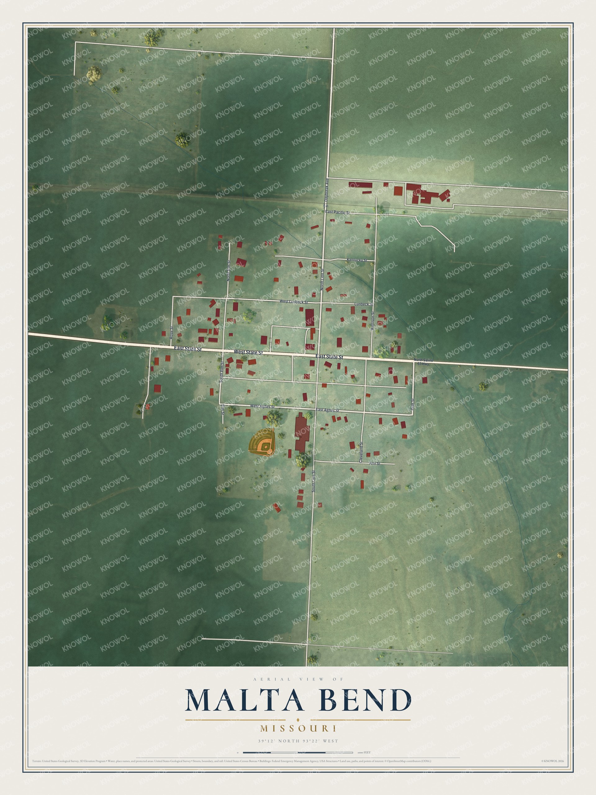
Created by KNOWOL in 2026, this print shows Malta Bend from above in soft greens, with red buildings and white streets. The title panel reads "Aerial View of Malta Bend, Missouri" with the coordinates 39°12' North 93°22' West.
It fits a living room, a front hall or a study. It's a good gift for someone who grew up near East State Street and moved away, or for a family that still calls Malta Bend home. Open the preview and find your street. See sizes and frames for the Malta Bend map.