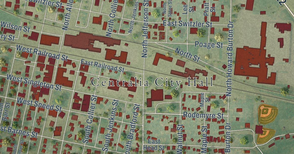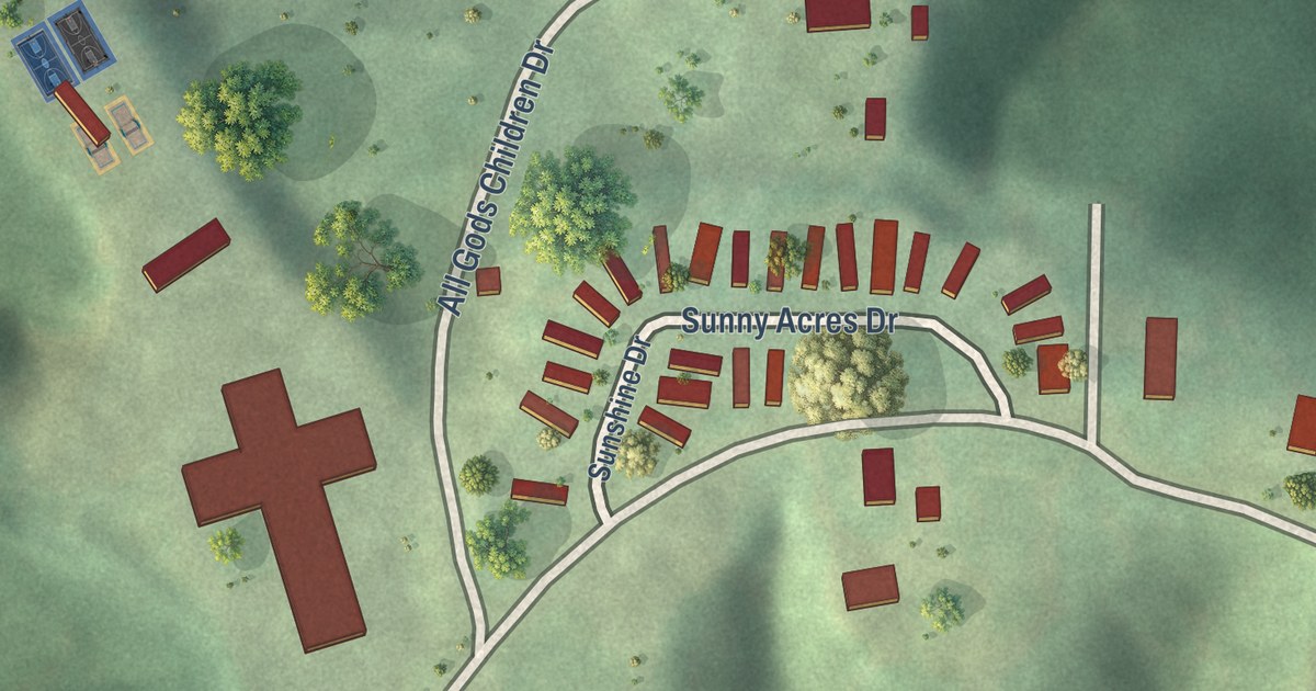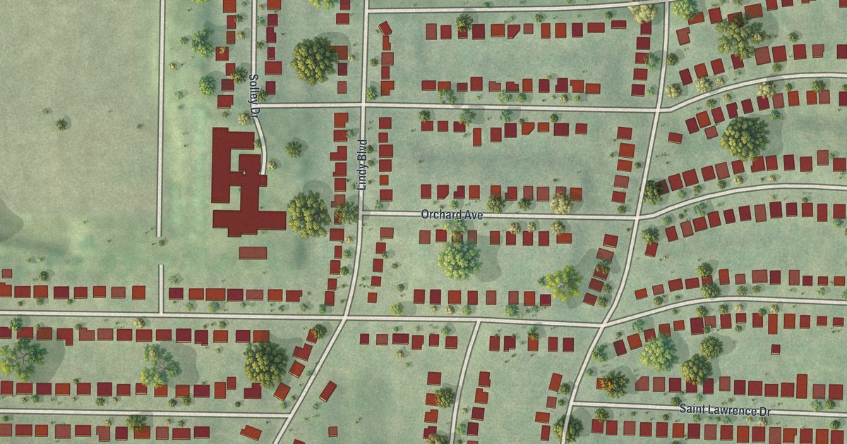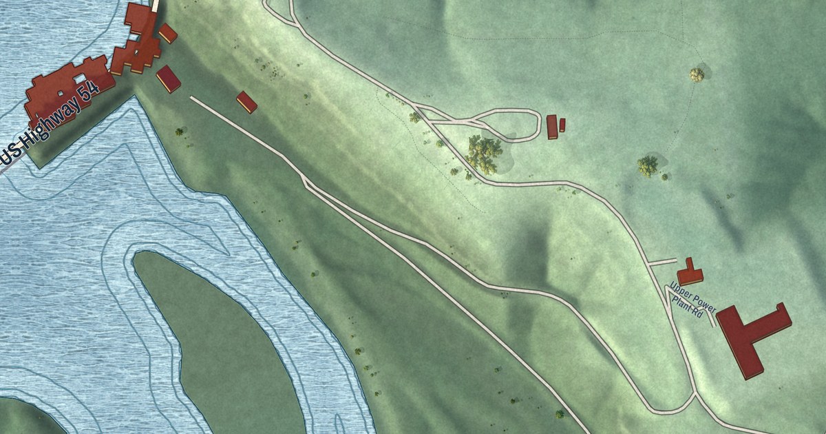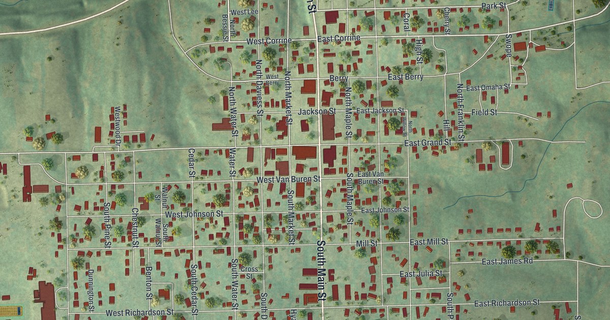
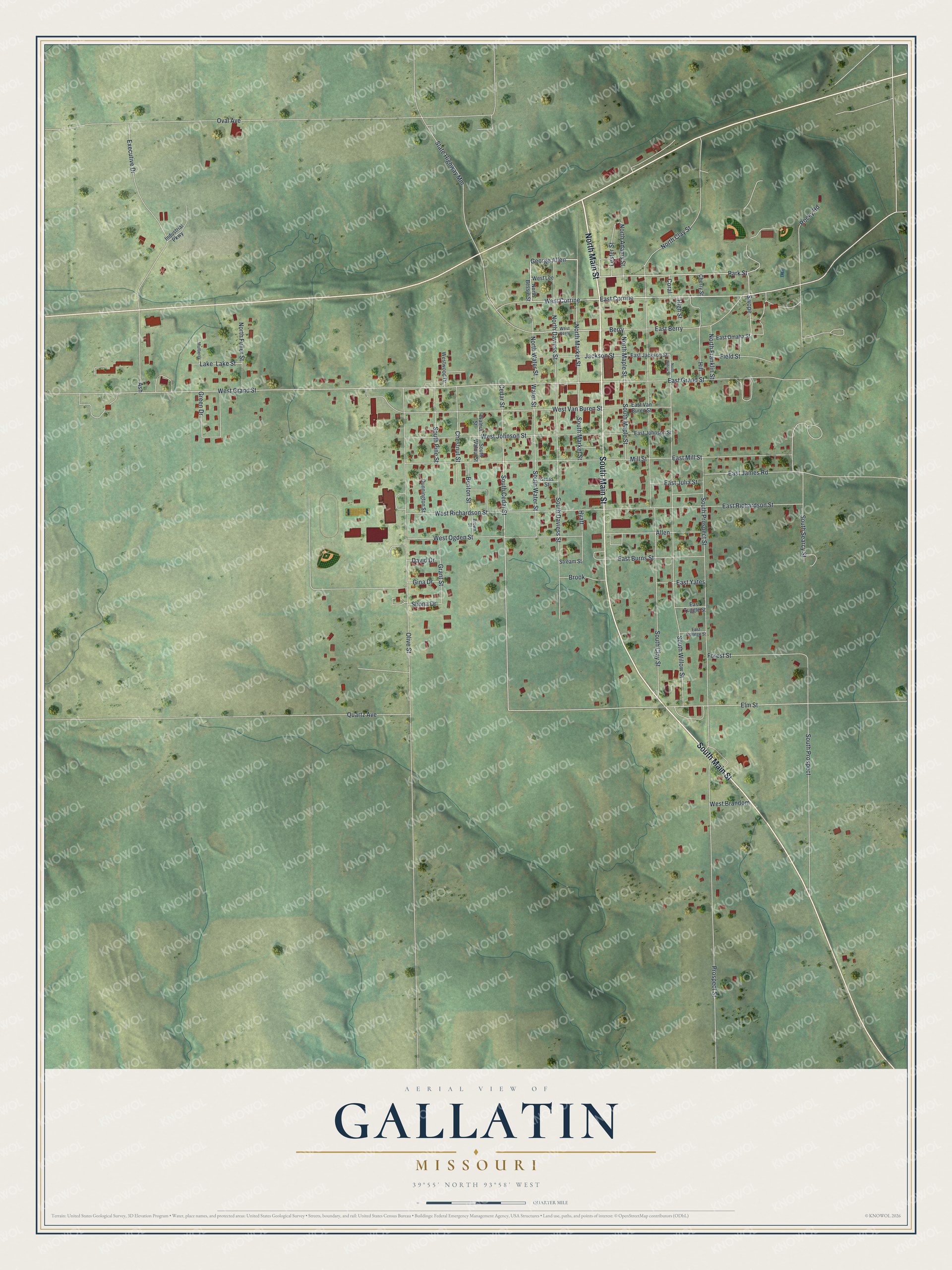
This beautifully detailed map of Gallatin, Missouri was created in 2026 using aerial imagery combined with modern topographical, census, street and landmark data. It’s a one-of-a-kind view of Gallatin that combines accurate data with a vintage aesthetic. The map shows every building in its true location, many of the roads carry their names, and the shaded topographic relief shows the shape of the land.
Explore an aerial view of Gallatin, Missouri
On the map you’ll find East Corrine, West Corrine, George Allen, and Swope, along with South Main Street, North Main Street, Park Street, North Market Street, West Grand Street, Elm Street, Water Street, South Cedar Street, and more. If you look closely you can even find your house accurately drawn in its correct location. Zoom in on the preview to look for yours.
Did you know this piece of Gallatin, Missouri history?
Gallatin was founded in 1837. The town honors Albert Gallatin, who served as Secretary of the Treasury from 1801 to 1814. No one has held that office longer in American history. Gallatin became an incorporated town in 1856.
Take a closer look at the Gallatin map
Street and place names on the Gallatin, Missouri map
These names are printed on the map of Gallatin, Missouri.
Places: Lake.
Streets and roads: South Main Street, North Main Street, East Corrine, West Corrine, George Allen, Park Street, North Market Street, Swope, West Grand Street, Elm Street, Water Street, South Cedar Street.
More street names, A to Z
Allen, Ash, Benton Street, Berry, Brook, Brown Street, Cedar Street, Cherry Street, Chestnut Street, Coral, Cross Street, David Drive, Dunnington Street, East Berry, East Burns Street, East College Street, East Grand Street, East Jackson Street, East James Road, East Johnson Street, East Julia Street, East Mill Street, East Omaha Street, East Richardson Street, East Tuggle Street, East Van Buren Street, East Yates, Executive Drive, Field Street, Forest Street, Gina Drive, Grant Street, Green Drive, High Street, Hill, Hyatt, Industrial Parkway, Jackson Street, Lake Street, Lester Street, Mill Street, Mulberry, North Adams Street, North Bessie Street, North Clay Street, North Daviess Street, North Franklin Street, North Fuller Street, North Maple Street, North Water Street, North Willow Street, Olive Street, Oval Avenue, Prospect Street, Quartz Avenue, Rocky Road, Shona Drive, South Clay Street, South Daviess Street, South Maple Street, South Market Street, South Pine Street, South Prospect, South Prospect Street, South Searcy Street, South Walnut Street, South Water Street, South Willow Street, State Highway Mm, Stream Street, Walnut Street, West Berry, West Brandom, West Johnson Street, West Lee, West Ogden Street, West Richardson Street, West Van Buren Street, Westwood Drive.
See the Gallatin, Missouri map on a wall
The Gallatin map as an 18 x 24 inch print in a black frame.

This beautifully detailed map of Gallatin makes an attractive addition to your office, library, or den, and it can even be used to teach children the geography and history of the area. It also makes a great gift for anyone with Gallatin roots. When you’re done exploring, click here to get your copy of the Gallatin map.