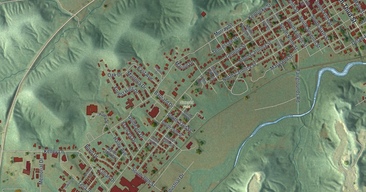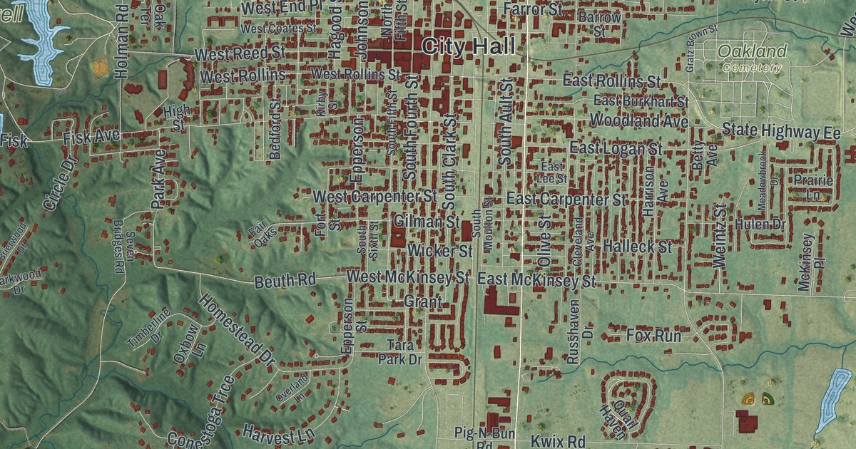
If you grew up in Moberly, went to school here, or have family who still lives off Morley Street, you'll find plenty you know on this map. It's a modern aerial view of Moberly in Randolph County, Missouri, built from modern data and given a vintage look. Thousands of buildings are marked in red, and they're packed tightest around City Hall. Rothwell Park and its winding blue lakes sit to the west. Oakland Cemetery lies to the east. Green hills and small creeks fill the country all around town.
Following Morley Street from City Hall to Urbandale
Start at City Hall, right in the middle of the sheet. North Morley Street runs just east of it. Follow it north past Sparks Avenue, North Avenue and Austin Street. Near the top, Outer Road runs beside it. Past that, Co Road B132 and Co Road B105 head out into the hills. Now go back to City Hall and head west. Rothwell Park sits on the left side, with blue water winding through it. Rothwell Park Road leads out to it.
Back in town, take South Morley Street south past Kwix Road. Urbandale is named just below, where East Urbandale Drive branches off. Farther down, the road becomes plain Morley Street and runs on toward the bottom of the sheet. East of downtown, look for Oakland Cemetery near Taylor Street and State Highway Ee. Gratz Brown Street and Omar Bradley Drive sit farther out on the right. Many roads are named, and each red shape is a building, so zoom in on the preview and look for yours.
The Moberly teachers who went to federal court
Moberly's name is on a federal court case, Brooks v. Moberly. After Brown v. Board of Education, Black teachers and school staff were fired in many places. When Moberly's schools integrated, the only teachers laid off were Black. They took their case to federal court. They said the school board had an unwritten rule. It hired only white teachers for its integrated schools. They said they'd been let go, and not hired back, only because of their race. The Missouri Encyclopedia calls it the first federal case to directly challenge those firings after Brown. The case asked whether the firings broke the Equal Protection Clause of the Fourteenth Amendment.
Moberly Junior High School, at 101 North Johnson Street, was added to the National Register of Historic Places in 2008. Look for Johnson Street near City Hall. Close by, the Moberly Municipal Auditorium on West Rollins Street and the Commerce Bank building on West Reed Street were both listed in 2022. The Burkholder-O'Keefe House, at 605 South Fifth Street, was listed back in 1989.
For someone who knows Morley Street and Rothwell Park
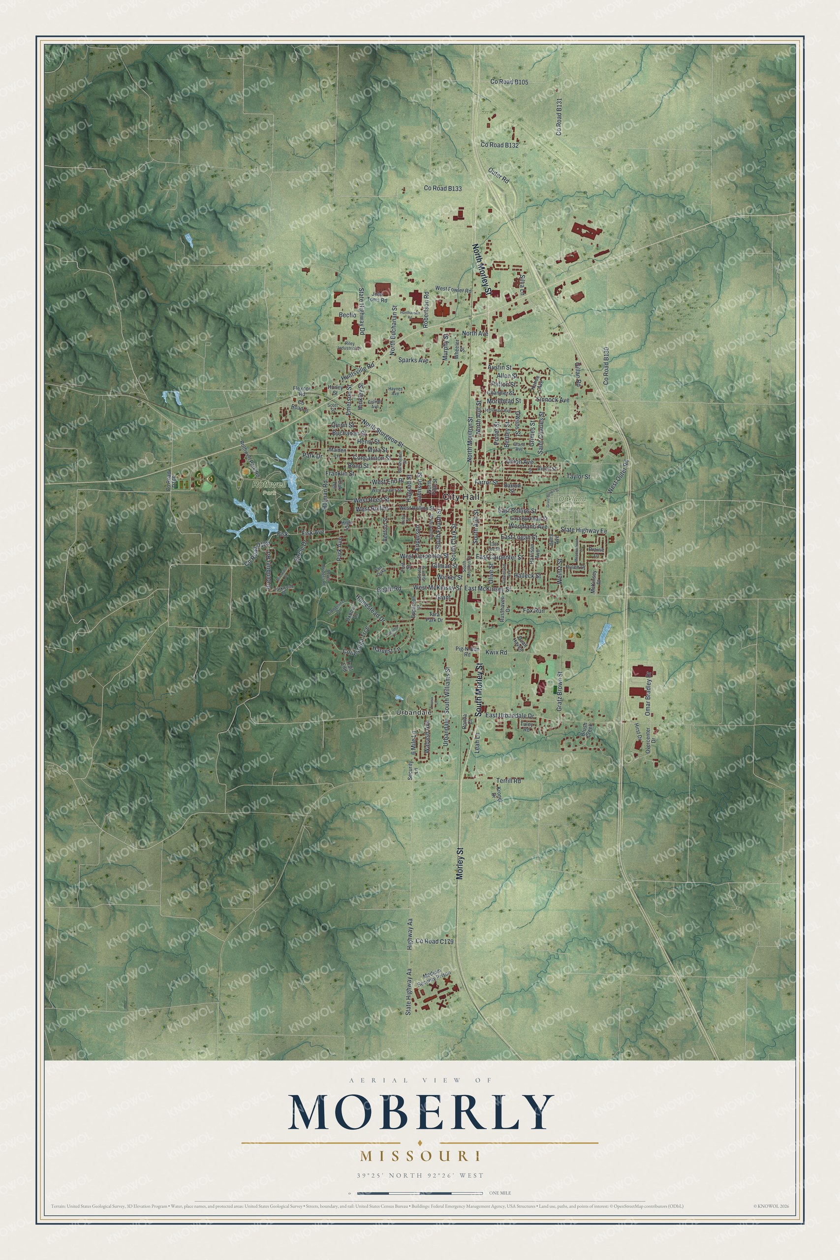
Created by KNOWOL in 2026, this Moberly map shades the hills around town in soft green using USGS elevation data, with each building drawn in deep red. The title panel reads "Aerial View of Moberly, Missouri" with the coordinates 39°25' North, 92°26' West and a one-mile scale bar.
It suits an office, a den or a front hall. It's a good gift for someone who grew up in Moberly and moved away, or who remembers afternoons at Rothwell Park. Open the preview, start at City Hall and trace the streets you know. See sizes and frames for the Moberly map.