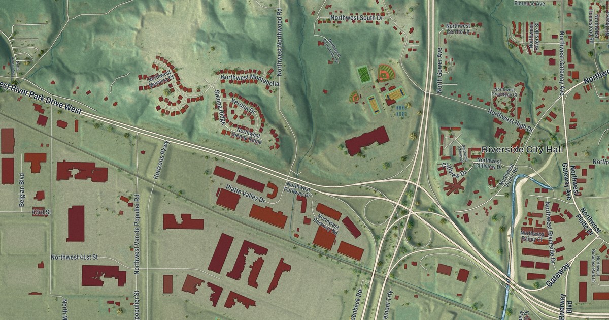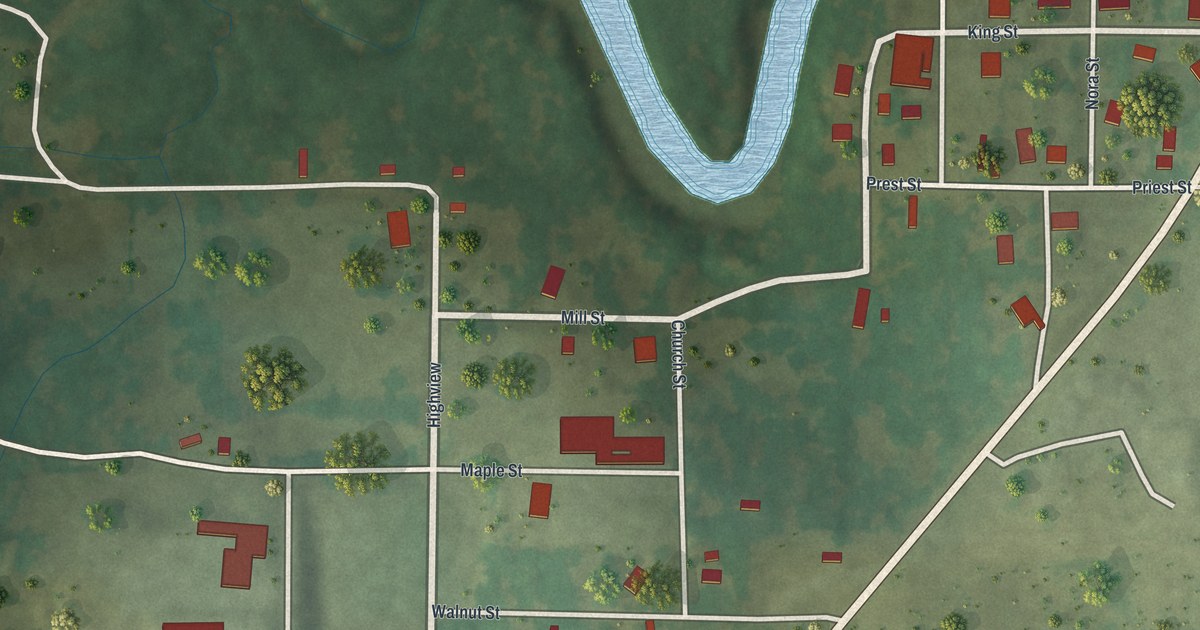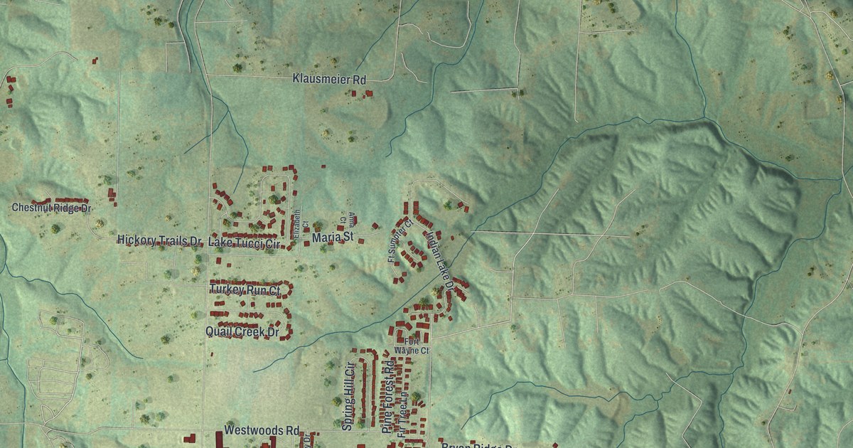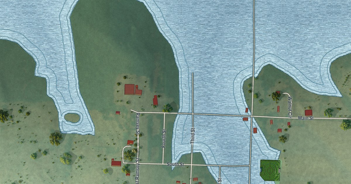
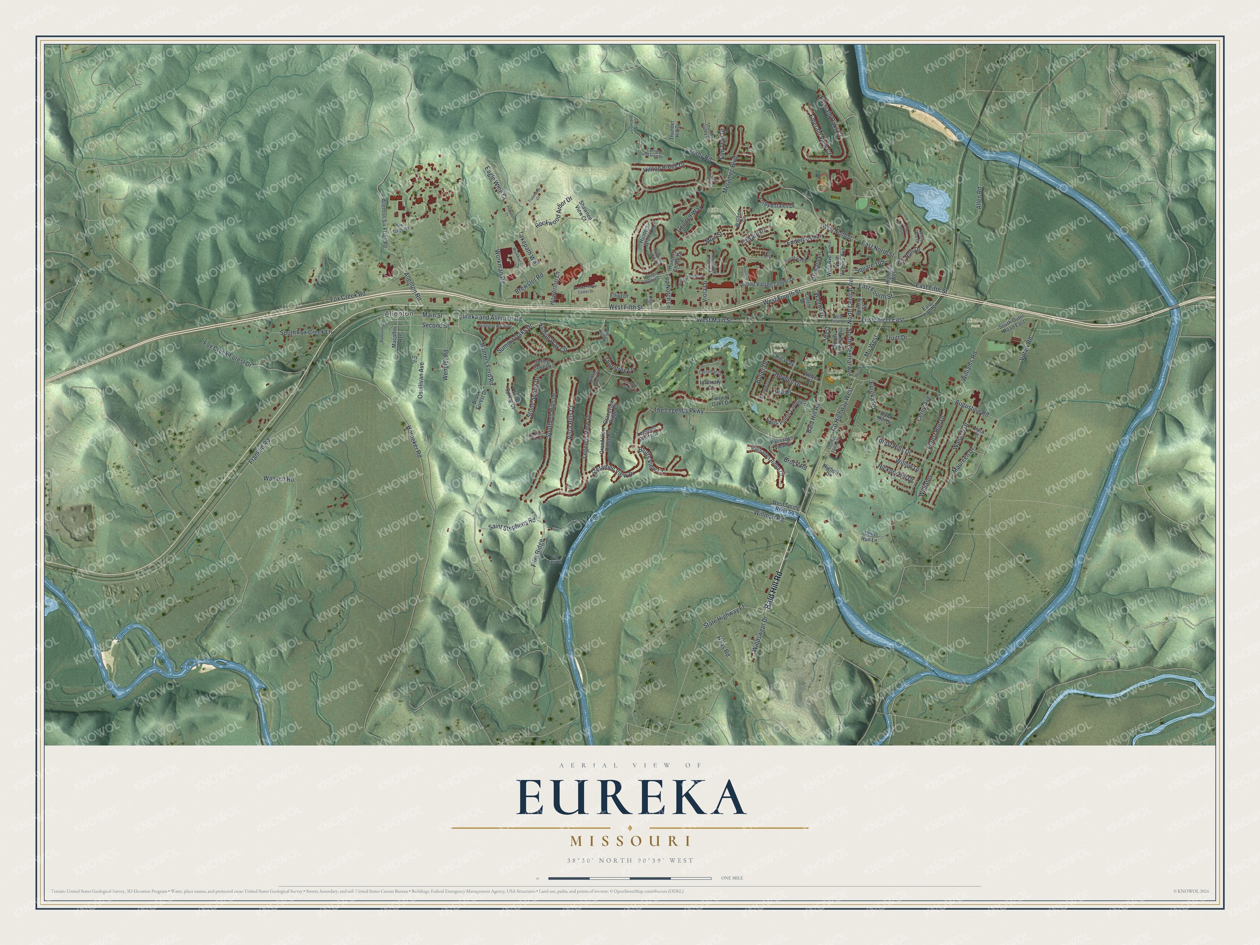
This beautifully detailed map of Eureka, Missouri was created in 2026 using aerial imagery combined with modern topographical, census, street and landmark data. It’s a one-of-a-kind view of Eureka that combines accurate data with a vintage aesthetic. The map shows every building in its true location, many of the roads carry their names, and the shaded topographic relief shows the shape of the land.
Explore an aerial view of Eureka, Missouri
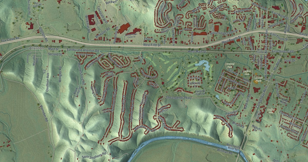
On the map you’ll find Allenton, Coffey Park, Drewel Park, Hilltop Park, Kircher Park, Legion Park, Lions Park, and Mo West, along with Bald Hill Road, West Main Street, North Central Avenue, Main Street, and more. If you look closely you can even find your house accurately drawn in its correct location. Zoom in on the preview to look for yours.
Did you know this piece of Eureka, Missouri history?
The St. Louis Children’s Industrial Farm opened at Eureka in 1898. It gave children from crowded city tenements a taste of country life. The farm later became Camp Wyman. It ranks among the oldest camps in the United States.
Take a closer look at the Eureka map
Street and place names on the Eureka, Missouri map
These names are printed on the map of Eureka, Missouri.
Places: Allenton, Coffey Park, Drewel Park, Hilltop Park, Kircher Park, Legion Park and Lions Park.
Streets and roads: Bald Hill Road, West Main Street, North Central Avenue, Mo West, Main Street, South Central Avenue, County Highway West, Forby Road, Hunters Ford Road, Eureka and Allenton Road, Augustine Road, First Street East.
More street names, A to Z
Abby Lane, Allen Road, Allenton Road, Allenton Six Flags Road, Ashton Way Circle, Avonlea Court, Beverly Street, Bluffs View Court, Brewster Road, Brock Road, Brook Forest Drive, Butler Drive, Cerny Avenue, Cerromar Drive, Clara Street, Currier and Ives Drive, Currier and Ives Lane, Curtis Drive, Deer Run Lane, Eagle Pointe Landing Drive, Eagle Wing Court, East Fifth Street, East First Street, East Fourth Street, East North Street, Edward Drive, Elk Run Drive, Elliot Drive, Elm Trail Drive, Emerald Oaks Court, Emerald View Court, Enderbush Lane, Eureka Road, Eureka Towne Center Drive, Fairway Oaks Drive, Fawn Meadows Drive, Flint Ridge, Flint Ridge Road, Footpath Court, Forby Estates Drive, Forest Hills Drive, Forest Run Drive, Fox Creek Forest Drive, Fox Creek Road, Franklin Road, Gendolf Way, Grand View Ridge Court, Grandview Ridge Court, Haas Road, Hawk Hill Drive, Heyden Drive, Hickory Hill Drive, Highway West, Hill Drive, Hillington Drive, Hilltop Ridge Drive, Hilltop Village Center Drive, Hill Walk, Horneker Road, Howerton Lane, Hunters Chase Drive, Hunters Green Lane, Hunters Heights Drive, Hunters Hollow Court, Hunters Lake Court, Inverrary Court, Ivy Drive, Lakepath Way, Legends Bluffs Court, Legends Terrace Drive, Legends View Drive, Macoffin Avenue, Maureen Drive, Meramec Boulevard, Meramec View Drive, Mo109 Street, Muir Street, Niehoff Drive, North Virginia Avenue, Orchard Lane, Osullivan Avenue, Overlook Terrace Court, Palisades Ridge Court, Palisades View Drive, Patterson Avenue, Pin High Court, Rockwood Arbor Drive, Rockwood Place Court, Saint Stephens Road, Schmelz Drive, Second Street, Shaw Drive, Shawnee View Court, Sierra Village Drive, Six Flags Road, Sixth Street, Southern Hills Court, Southern Hills Drive, South Fox Creek Lane, South Outer Road East, South Virginia Avenue, Spring Cove Court, Square 109, State Highway Ff, Stone Spring Court, Stone Spring Drive, Summit Oaks Drive, The Legends Parkway, Thorntree Lane, Thunder Hill Drive, Thunder Valley Drive, Top Notch Lane, Trailmaker Court, Truitt Drive, Viola Lane, Vista Glen Court, Vista Hills Court, Votaw Road, Walden Drive, Wallach Drive, Wallach Road, Walton Drive, Weber Drive, Wellington Woods Drive, Wengler Road, West, West Avenue, West Fifth Street, West First Street, West Fourth Street, West North Street, West Spring River Square, White Doe Court, Williams, Williams Road, Willman Road, Willow Drive, Windswept Drive, Workman Court, Workman Road.
See the Eureka, Missouri map on a wall
The Eureka map as an 18 x 24 inch print in a black frame.

This beautifully detailed map of Eureka makes an attractive addition to your office, library, or den, and it can even be used to teach children the geography and history of the area. It also makes a great gift for anyone with Eureka roots. When you’re done exploring, click here to get your copy of the Eureka map.