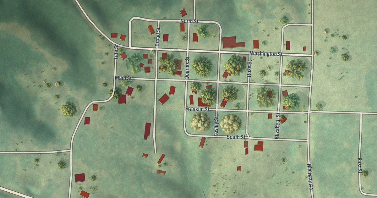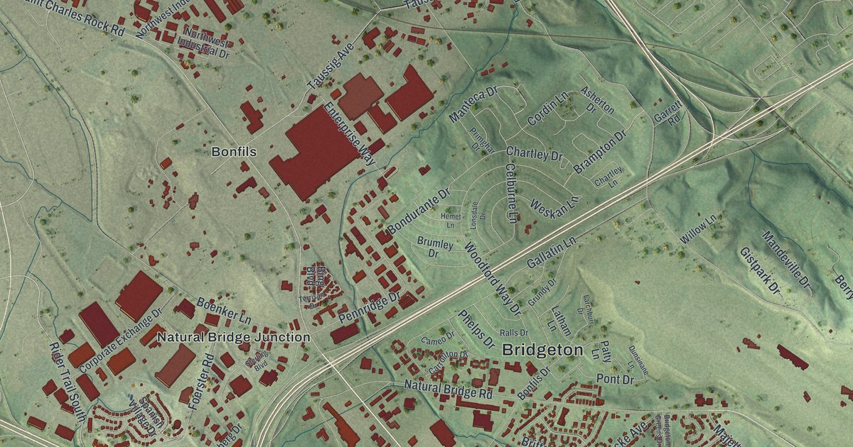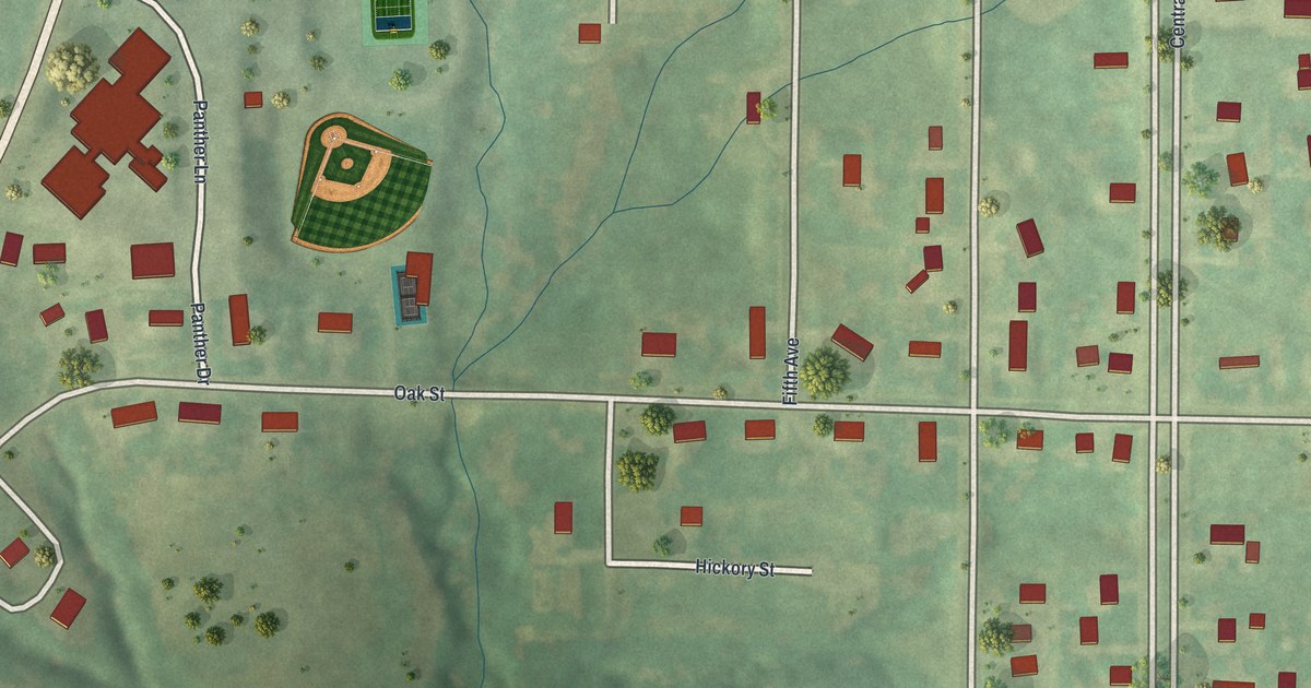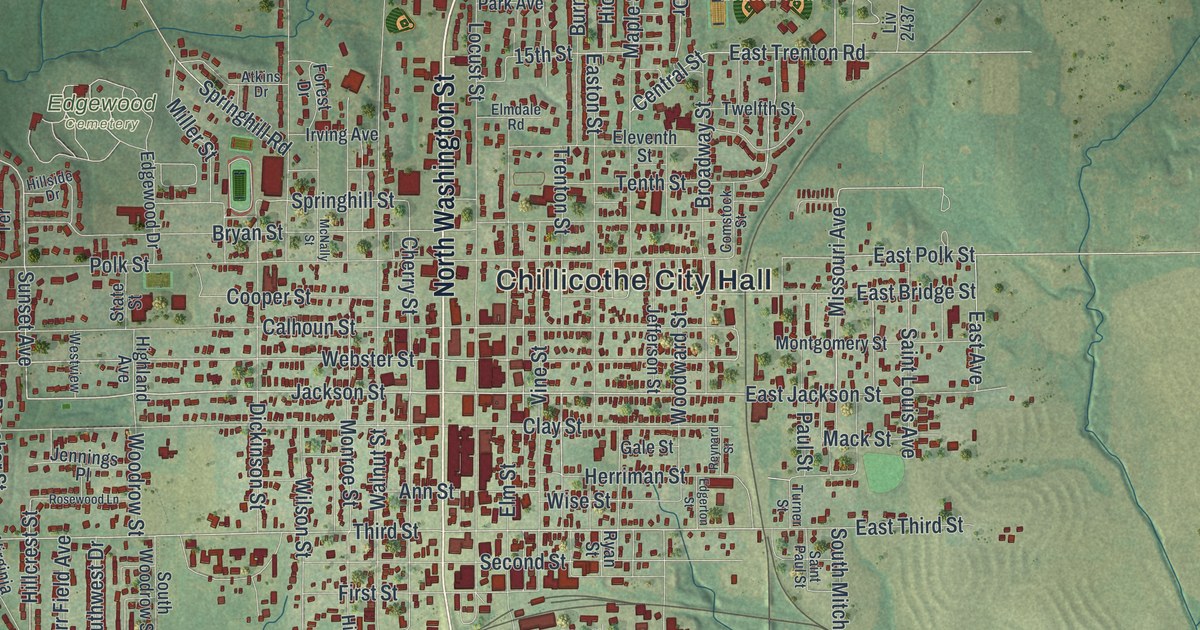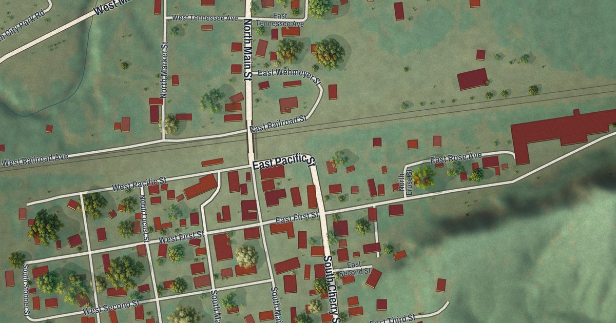
If you grew up in Chamois, these streets may bring home a little closer. This modern aerial view of Chamois in Osage County, Missouri uses modern data with a vintage feel. Red buildings fill the town blocks, with green hills around them. A broad blue river stretches across the top of the print.
Chamois Streets and the Story Behind Its Name
On this map you'll find North Main Street, South Main Street, East Missouri Avenue, West Missouri Avenue, East Pacific Street, South Market Street, South Cherry Street, West First Street, East Fourth Street, North City Park Road, and more. Each red shape is a building, so zoom in on the preview and look for yours.
Chamois has a name with a link to Switzerland. The historic Ramsay Place Names File says Morgan Harper named it for the chamois, an Alpine animal. The steep hills reminded him of his home in Switzerland. On this print, you can see folds and slopes in the green land around the town's blocks. They're part of the setting behind that old account of the name.
Bring Chamois Home

Created by KNOWOL in 2026, the print pairs green terrain and blue water with red buildings and pale roads. A cream border surrounds the view. The title panel reads AERIAL VIEW OF, CHAMOIS, MISSOURI, with 38°41' NORTH 91°46' WEST beneath it.
It's a warm fit for a living room, office, or entryway. Give it to someone with family on South Main Street, or someone who moved away from Chamois. Open the preview to take a closer look at the streets and buildings you know. See sizes and frames for the Chamois map.