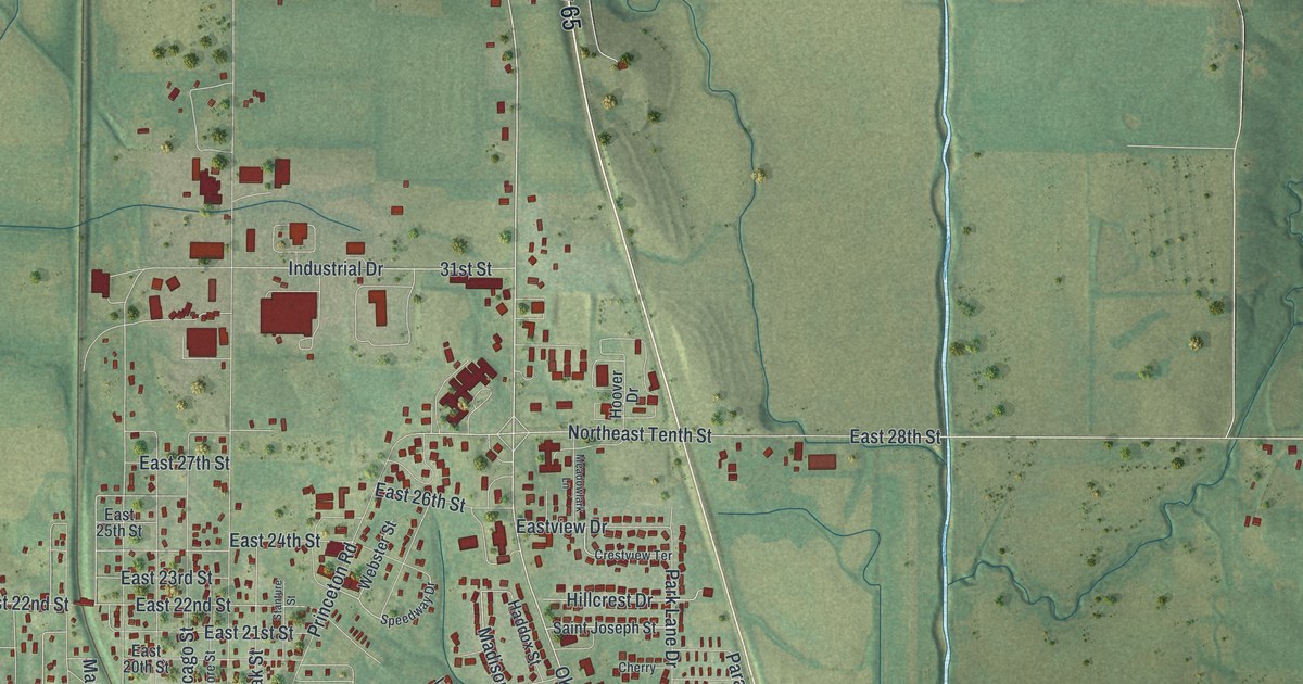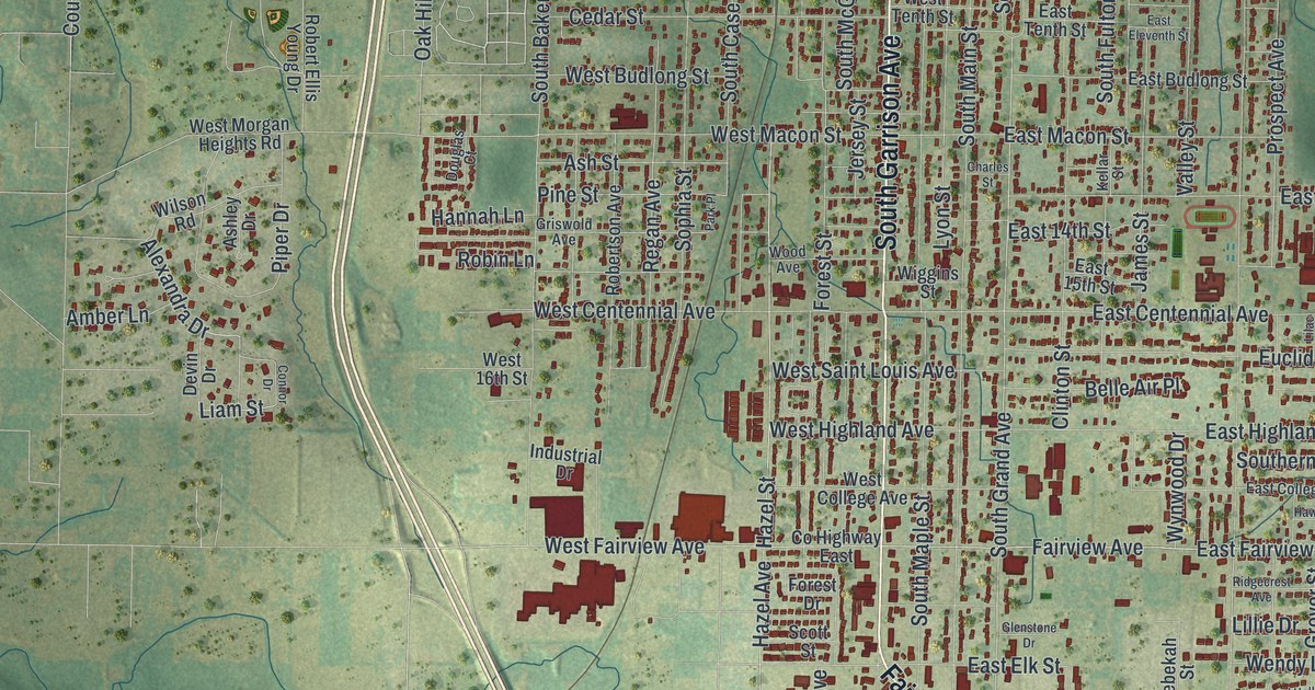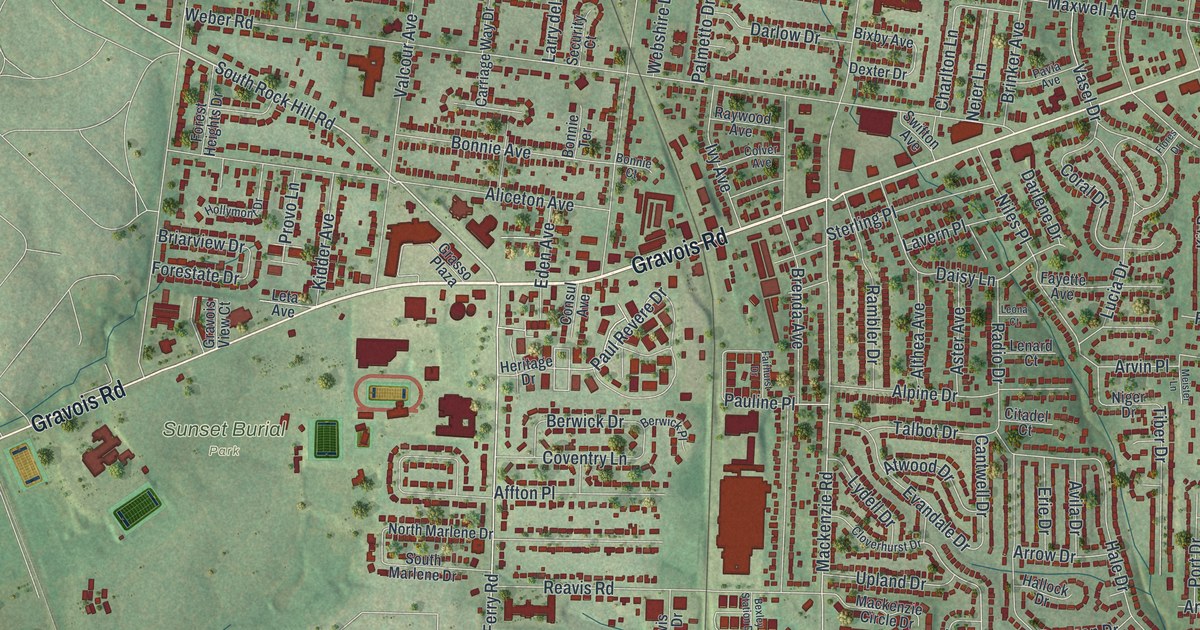
If you grew up off Gravois Road, or you still have family on a quiet street in Affton, this map is for you. Made from modern data with a vintage feel, it's a modern aerial view of Affton in St. Louis County, Missouri. Gravois Road cuts across the middle of the sheet. Thousands of red buildings crowd the streets on both sides of it. Soft green hills and creek valleys fill the edges.
Affton, named for Johann George Aff
On this map you'll find Gravois Road, Watson Road, Mackenzie Road, Tesson Ferry Road, Reavis Barracks Road, Heege Road, Weber Road, Laclede Station Road, Affton Place, Wilbur Park, Lakeshire, Saint George, Sunset Burial Park, Our Redeemer Cemetery, and more. Each red shape is a building, so zoom in on the preview and look for yours.
Affton's name comes from one man. The State Historical Society of Missouri keeps an old file of place names from across the state. It says the town was named for Johann George Aff. He was born in 1834. He was a farmer and a merchant, and he came to St. Louis in 1858. Two small printed streets carry the town's name too. Look for Affton Place and Affton View Court.
Affton High School on Mackenzie Road
Affton High School stands at 8520 Mackenzie Road. The school was added to the National Register of Historic Places in 2010. Mackenzie Road is printed on the map, so you can find the school's street and the blocks of homes around it.
Affton from Gravois Road to Lakeshire
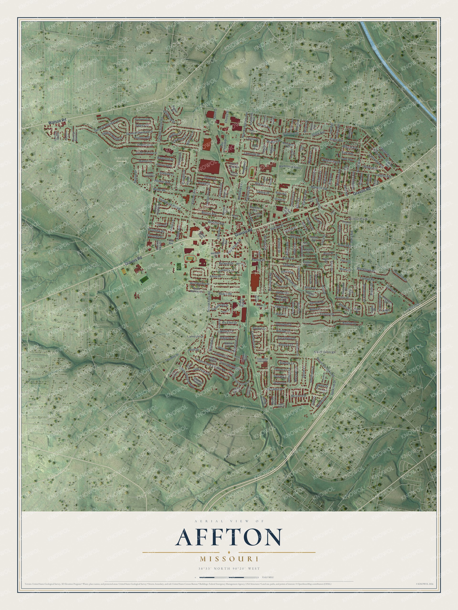
Created by KNOWOL in 2026, this print sets red buildings and pale street lines over soft green hills shaded from USGS elevation data. The title panel at the bottom reads Aerial View of Affton, Missouri, with the coordinates 38°33' North 90°20' West.
It suits a living room, a hallway or a home office. It's a good gift for an Affton High School grad, or for anyone who grew up near Gravois Road and moved away. Open the preview and find your street. See sizes and frames for the Affton map.