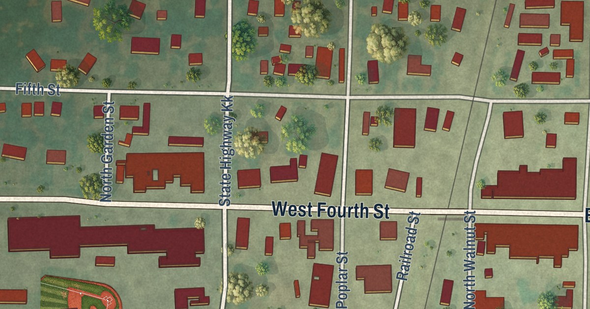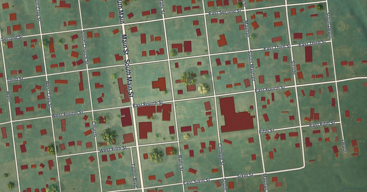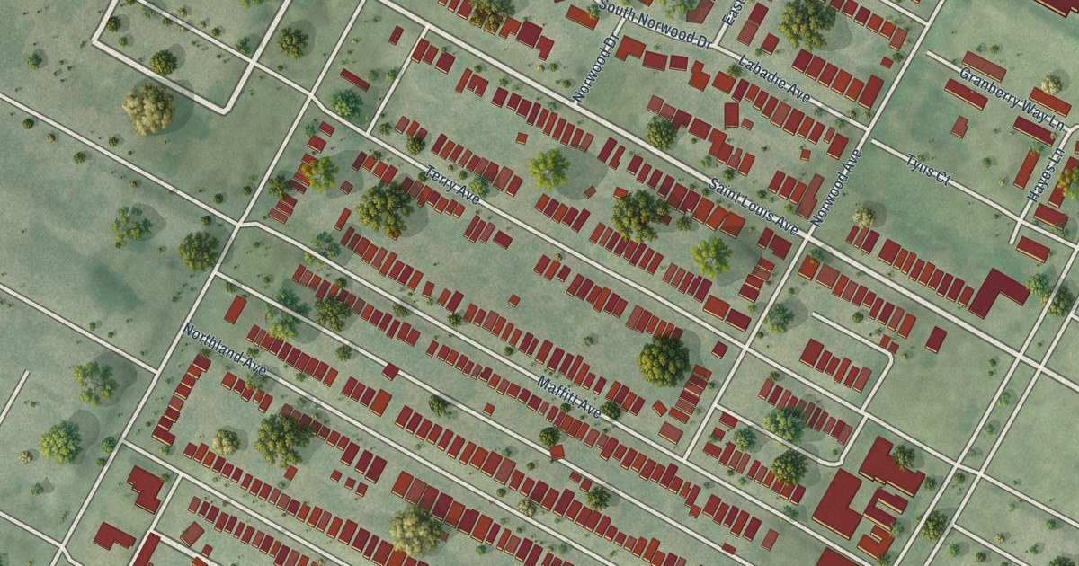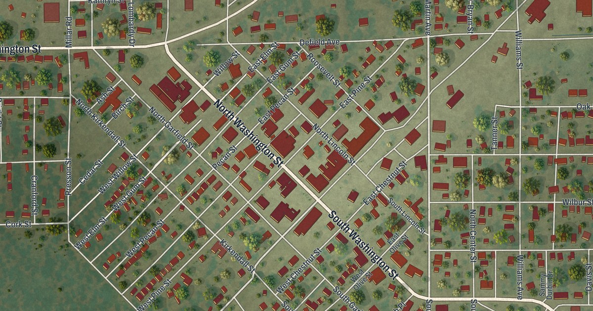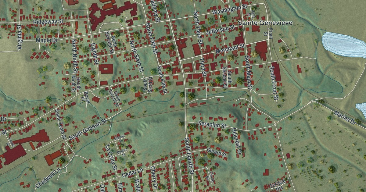
This beautifully detailed map of Ste. Genevieve, Missouri was created in 2026 using aerial imagery combined with modern topographical, census, street and landmark data. It’s a one-of-a-kind view of Ste. Genevieve that combines accurate data with a vintage aesthetic. The map shows every building in its true location, many of the roads carry their names, and the shaded topographic relief shows the shape of the land.
Explore an aerial view of Ste. Genevieve, Missouri
On the map you’ll find Saint Jude Acres, Valle Spring Cemetery, and Sainte Genevieve, along with Sainte Genevieve Drive, North Fourth Street, Riverview Drive, Merchant Street, South Fourth Street, North Main Street, Center Drive, North Fifth Street, South White Sands Road, and more. If you look closely you can even find your house accurately drawn in its correct location. Zoom in on the preview to look for yours.
Did you know this piece of Ste. Genevieve, Missouri history?
French Canadian settlers founded Ste. Genevieve, the oldest permanent European settlement in Missouri. They named it for Saint Genevieve, the patron saint of Paris. A great flood in 1785 drove the village off the Mississippi floodplain. The town then moved two miles north, about half a mile inland.
Take a closer look at the Ste. Genevieve map
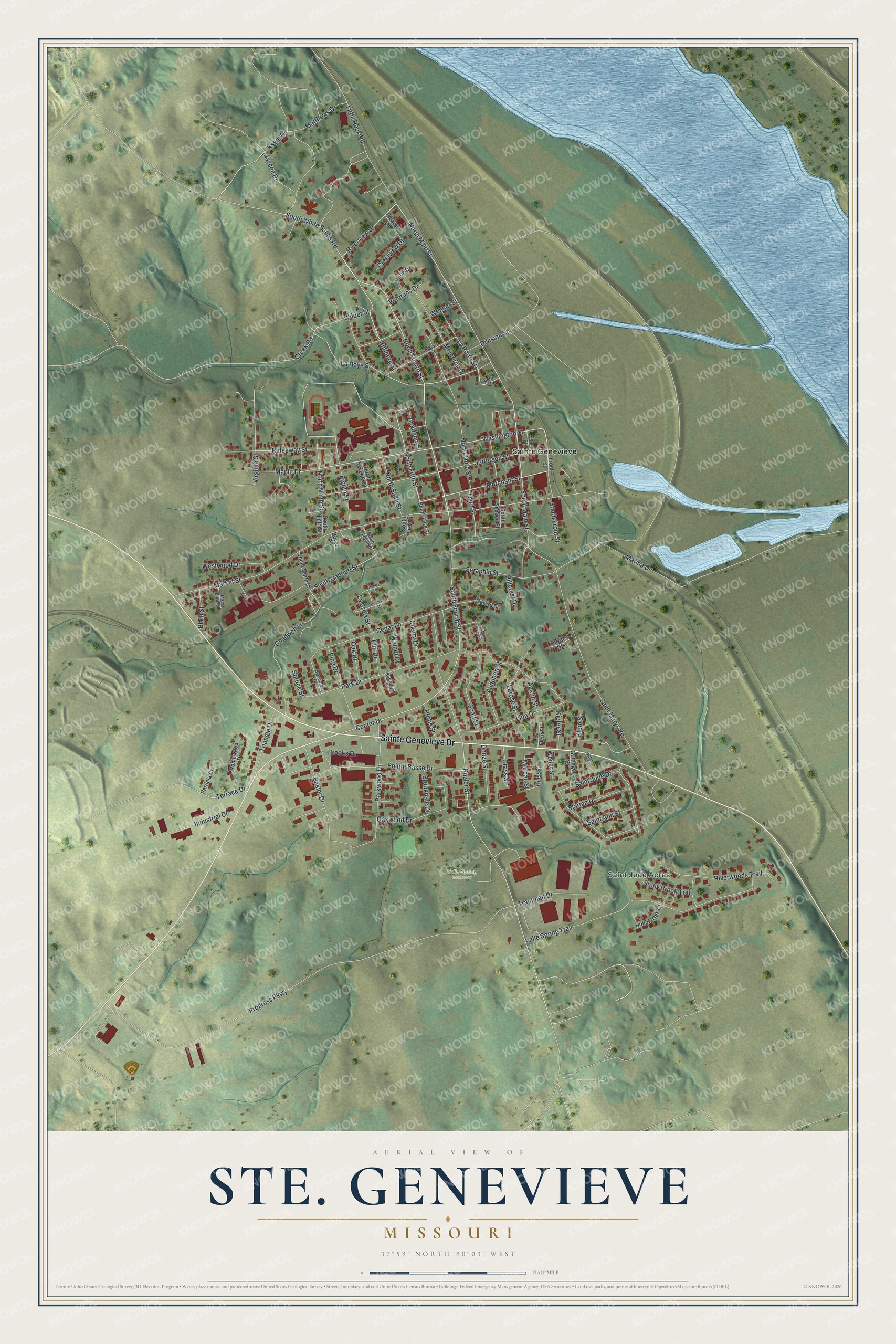
Street and place names on the Ste. Genevieve, Missouri map
These names are printed on the map of Ste. Genevieve, Missouri.
Places: Saint Jude Acres, Valle Spring Cemetery and Sainte Genevieve.
Streets and roads: Sainte Genevieve Drive, North Fourth Street, Riverview Drive, Merchant Street, South Fourth Street, North Main Street, Center Drive, North Fifth Street, South White Sands Road, Washington Street, La Haye Street, Moreau Street.
More street names, A to Z
Academy Street, Audubon Street, Austin Street, Basler Drive, Biltmore Street, Blain Street, Boyer Place, Brookdale Drive, Brooks Drive, Butterfield Place, Cedar Lane, Chadwell Lane, Cherry Drive, Circle Drive, Coyne Street, Creek Road, Crestview Drive, Division Street, Donze Street, Dupont Street, Eighth Street, Elm Drive, Front Street, Gegg Street, Gerard Street, Gettinger Street, Glenda Street, Grass Street, Hillcrest Drive, Hollow Oak Court, Hope Drive, Industrial Drive, Jaycee Drive, Jefferson Street, Kiefer Street, Klein Street, Kohm Street, Ksgm Drive, La Croix Street, La Fleur Street, La Porte Street, Laporte Street, Larose Street, Linn Drive, Little Rock Road, Maple Drive, Marian Drive, Marina Drive, Market Street, Mary Ellen Street, Matthews Drive, Memorial Drive, North Ninth Street, North Seventh Street, North Sixth Street, North Third Street, Oak Drive, Oakwood Drive, Park Drive, Parkwood Drive, Patricia Court, Picardy Lane, Pine Drive, Pointe Basse Drive, Portis Street, Progress Parkway, Ridgeway Street, Riverwoods Trail, Roberts Street, Robinwood Drive, Rozier Street, Saint Ann Street, Saint Jude Drive, Saint Marys Road, Scott Street, Seraphin Street, South Fifth Street, South Front Street, South Gabouri Street, South Main Street, South Ninth Street, South Second Street, South Seventh Street, South Sixth Street, South Tenth Street, Spruce Street, Stony Brook Trail, Sycamore Drive, Terrace Drive, Terrace Heights, Third Street, Trautman Drive, Triangle Drive, Valle Spring Trail, Valle Street, Veterans Drive, Virginia Street, Walnut Drive, Water Street, Wehner Street, Weiler Street, Westwood Drive, Wilder Street.
See the Ste. Genevieve, Missouri map on a wall
The Ste. Genevieve map as an 18 x 24 inch print in a black frame.

This beautifully detailed map of Ste. Genevieve makes an attractive addition to your office, library, or den, and it can even be used to teach children the geography and history of the area. It also makes a great gift for someone who left Ste. Genevieve and still calls it home. When you’re done exploring, click here to get your copy of the Ste. Genevieve map.