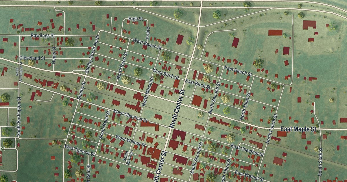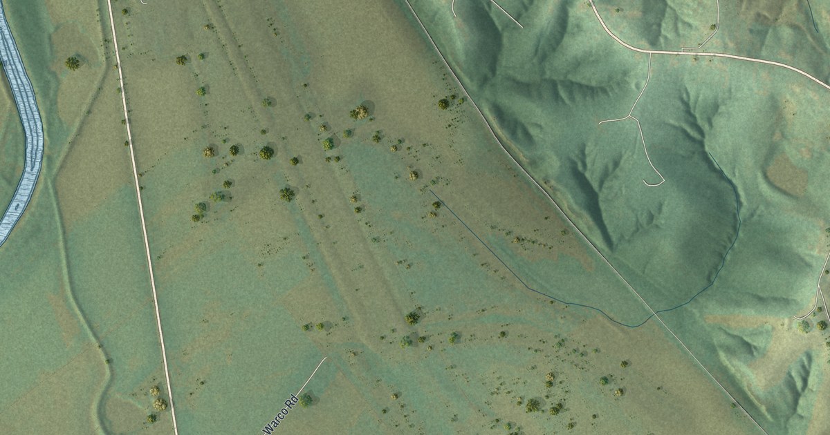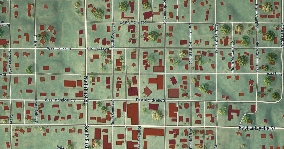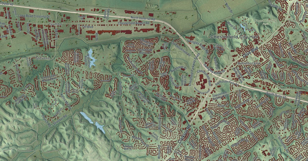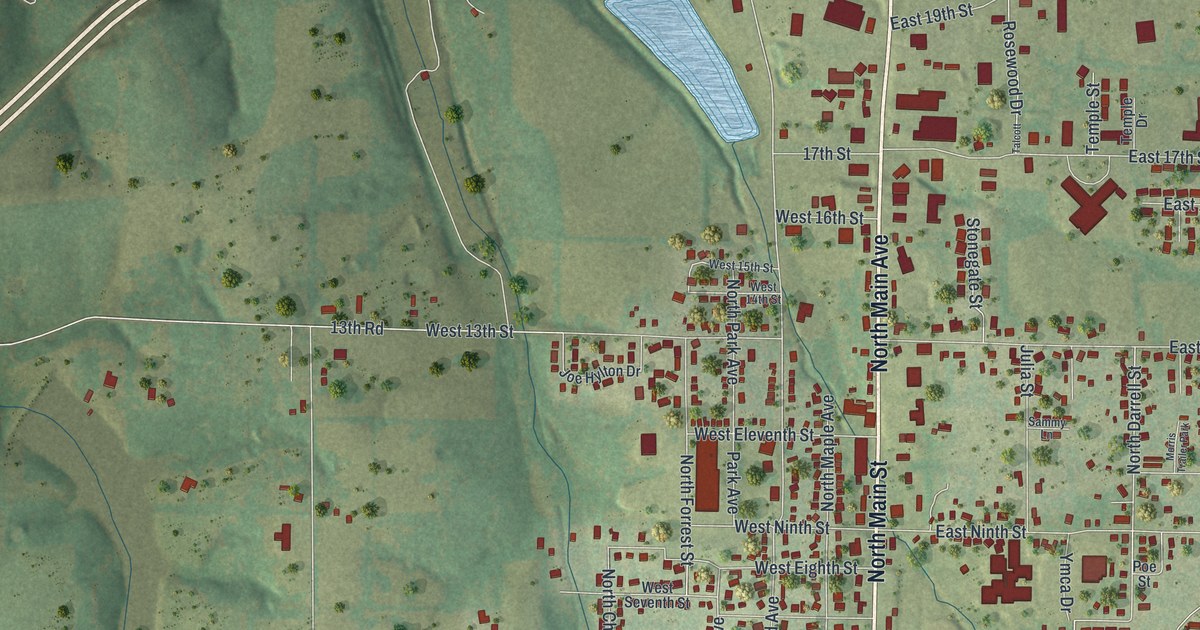
If you grew up near North Main Street or played a round at Randel-Hinkle Municipal Golf Course, this map will feel like home. It's a modern aerial view of Mountain Grove in Wright County, Missouri, made from modern data and given a vintage look. The town fills the middle of the sheet, with red buildings packed along North Main Street and Bus 60. Green hills roll out to every edge. A wide highway curves across the upper half, and two small blue ponds sit close to town.
North Main Street, City Hall and more
On this map you'll find North Main Street, South Main Street, East State Street, West Third Street, Bus 60, Mountain Grove City Hall, Randel-Hinkle Municipal Golf Course, Panther Drive, Fruit Station Drive, Wheeler Arch Road, Red Spring Road, West Clouse Street, and more. Each red shape is a building, so zoom in on the preview and look for yours.
How Fyan became Mountain Grove
The town didn't start out as Mountain Grove. The State Historical Society of Missouri says the post office here was first named Fyan. That was before the Civil War. In 1878 the name changed to Mountain Grove. The new name came from the spot where the town sat, on a ridge in a grove of trees. You can still see that ground on this map. Soft shading shows the hills and hollows all around town. Small green trees dot the slopes on every side.
City Hall and the Mountain Grove Bandstand
Three buildings in Mountain Grove are on the National Register of Historic Places. Mountain Grove City Hall, at 301 East First Street, was added in 2012. Its name is printed near the center of the map, just above Bus 60. The Mountain Grove Bandstand, near Main and Second Streets, was listed in 1989. It stands a short walk from City Hall. The Administration Building of the Missouri State Fruit Experiment Station, north of town, was listed in 1979.
Keep North Main Street close
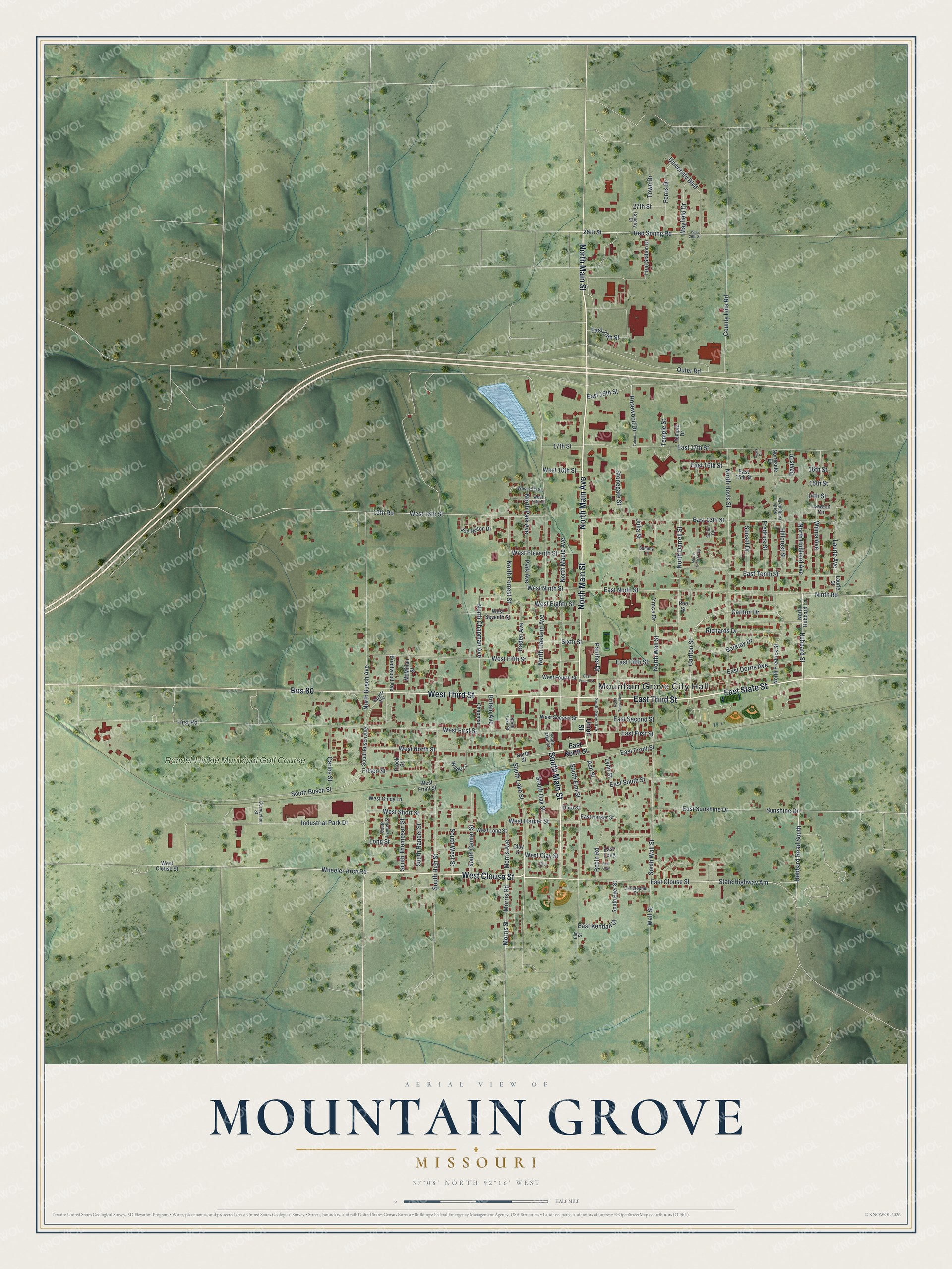
Created by KNOWOL in 2026, this print shows Mountain Grove in soft greens, with shaded hills, red buildings and blue ponds. The title panel at the bottom reads Aerial View of Mountain Grove, Missouri, with the coordinates 37°08' North 92°16' West.
It fits a living room, a front hall or a home office. It's a good gift for someone who grew up near City Hall and has since moved away, or for a friend who knows every hole at Randel-Hinkle Municipal Golf Course. Open the preview and find your own street. See sizes and frames for the Mountain Grove map.