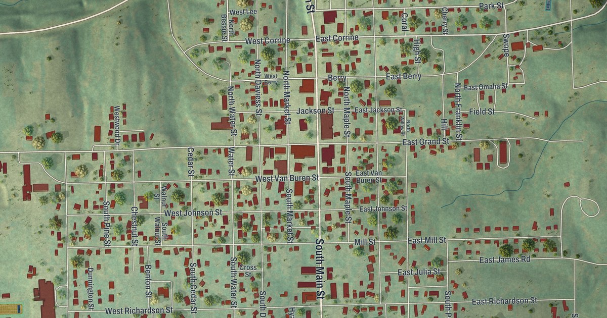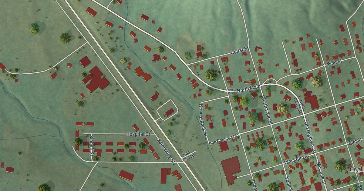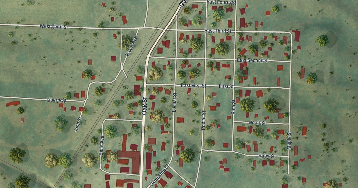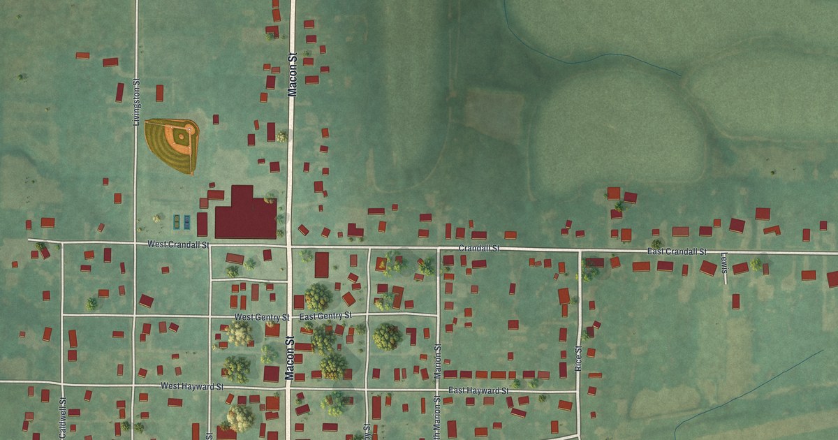
If you grew up on Macon Street or still have family in Meadville, this map puts the whole town on one sheet. It's a modern aerial view of Meadville in Linn County, Missouri, made from modern data and given a vintage artistic feel. Macon Street runs through the middle, crossed by Crandall, Gentry, Hayward and John streets. Farm fields, thin blue creeks and green trees fill in the land all around.
Macon Street, Crandall Street and the Meadville Blocks
On this map you'll find Macon Street, West Crandall Street, East Crandall Street, West Gentry Street, East Gentry Street, West Hayward Street, East Hayward Street, West John Street, East John Street, Marion Street, Livingston Street, Caldwell Street, Linn Street, Shelby Street, Arrow Road, Border Road, and more. Each red shape is a building, so zoom in on the preview and look for yours.
Meadville has been a city for a long time. A 1912 history of Linn County says it was incorporated as a city of the fourth class on January 4, 1881. The same book lists Meadville city with 580 people. It even names the town's own paper, the Messenger, run by C. E. McWilliams.
The 1911 Meeting About Draining the Valley
The same book tells about a plan that started right here. It says the first meeting to consider draining the valley was held at Meadville in July 1911. On the preview, thin blue creek lines wind through the farm fields on every side of town.
A Print of Meadville for Home
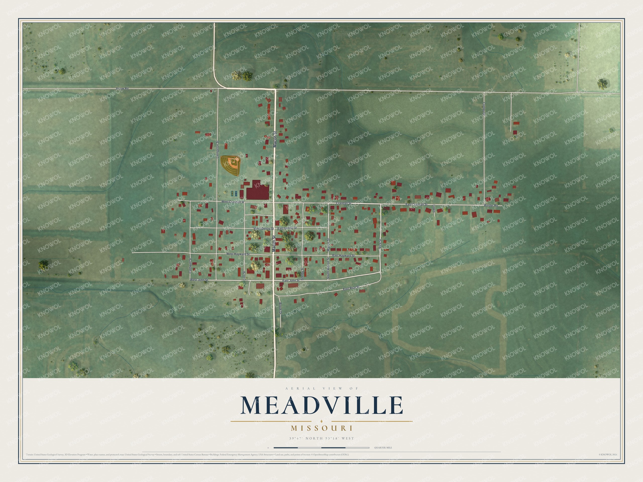
Created by KNOWOL in 2026, this print shows Meadville from above in soft greens, with red buildings, pale roads and thin blue creeks. The title panel reads "Aerial View of Meadville, Missouri" with the coordinates 39°47' North 93°18' West.
It fits a front room, a kitchen or a hallway. It makes a good gift for someone who grew up near Macon Street and moved away, or for a family with roots in Linn County. Open the preview and find the blocks you know. See sizes and frames for the Meadville map.