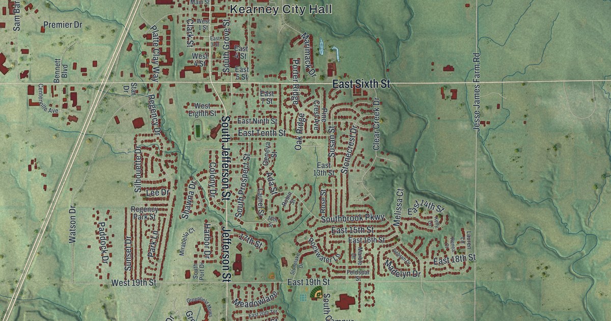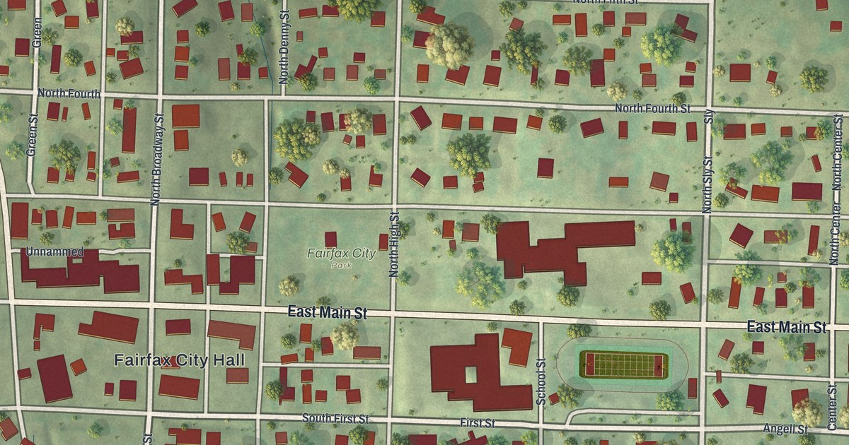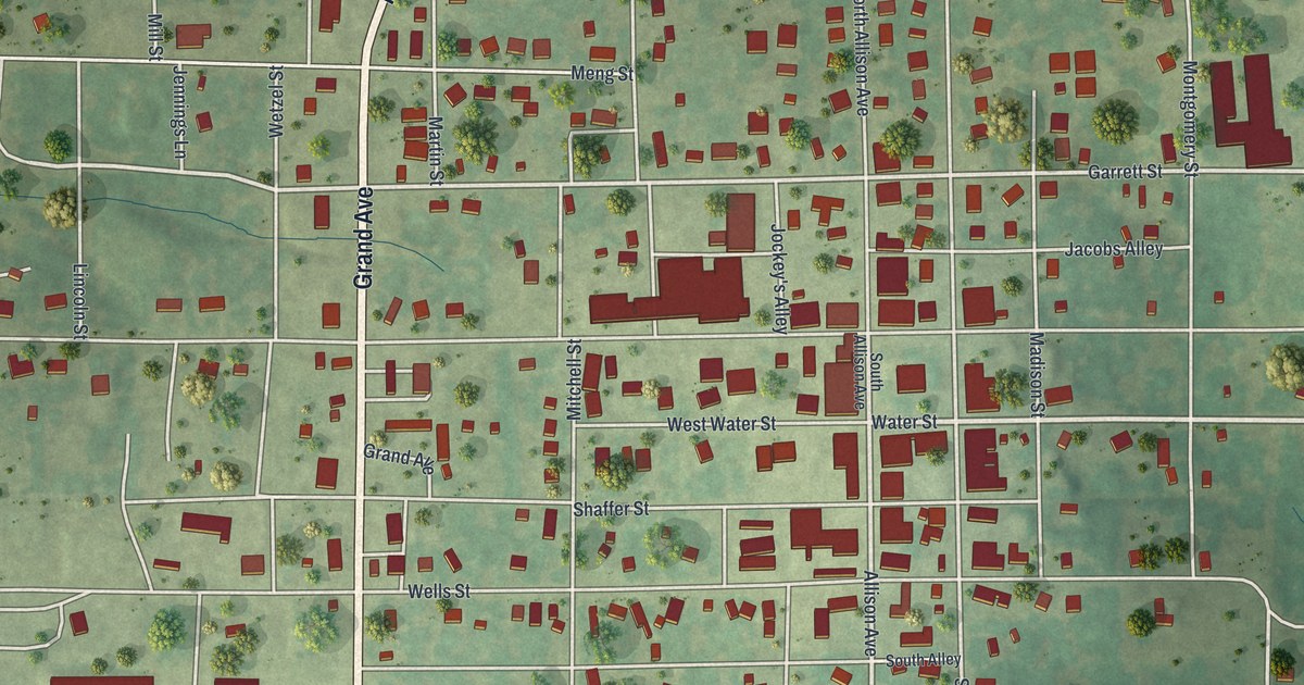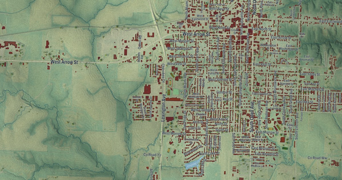
If you grew up in Marshall, took classes at Missouri Valley College, or still know your way around the courthouse square, this map is for you. It's a modern aerial view of Marshall in Saline County, Missouri, made from modern data and given a vintage look. Thousands of red buildings fill the town's blocks in the middle. Green hills and creeks roll out on every side, and a blue river winds down the right edge.
Streets and Parks on the Marshall Map
On this map you'll find Lexington Avenue, North Odell Avenue, South Odell Avenue, West Arrow Street, Santa Fe Trail, East College Street, North Brunswick Avenue, East North Street, Salt Pond Avenue, Fairground Road, Owl Pride Drive, Indian Foothills Park, Ridge Park Cemetery, and more. Each red shape is a building, so zoom in on the preview and look for yours.
When Marshall Went Without a Newspaper
Marshall once had two newspapers, the Herald and the Democrat. They backed different men for president. Then the two papers joined into one, called the Marshall Democrat. It stopped printing on July 31, 1861. For the rest of the Civil War, no one tried to start a paper anywhere in Saline County. The news came back in 1866, when the Progress started in Marshall. That's how the 1881 History of Saline County tells it. Those papers were printed in the same town you see filling the middle of the map.
Baity Hall and Other Marshall Landmarks
The National Register of Historic Places lists six places in Marshall, and several sit on streets printed here. Baity Hall, at Missouri Valley College, is at 500 East College Street. The Buckner House is on North Brunswick Avenue. Fitzgibbon Hospital is on South Brunswick Avenue, and it joined the list in 2012. The First Presbyterian Church stands on East North Street. The Saline County Courthouse and the Chicago and Alton Depot are on the list, too.
Keep Marshall and Saline County Close
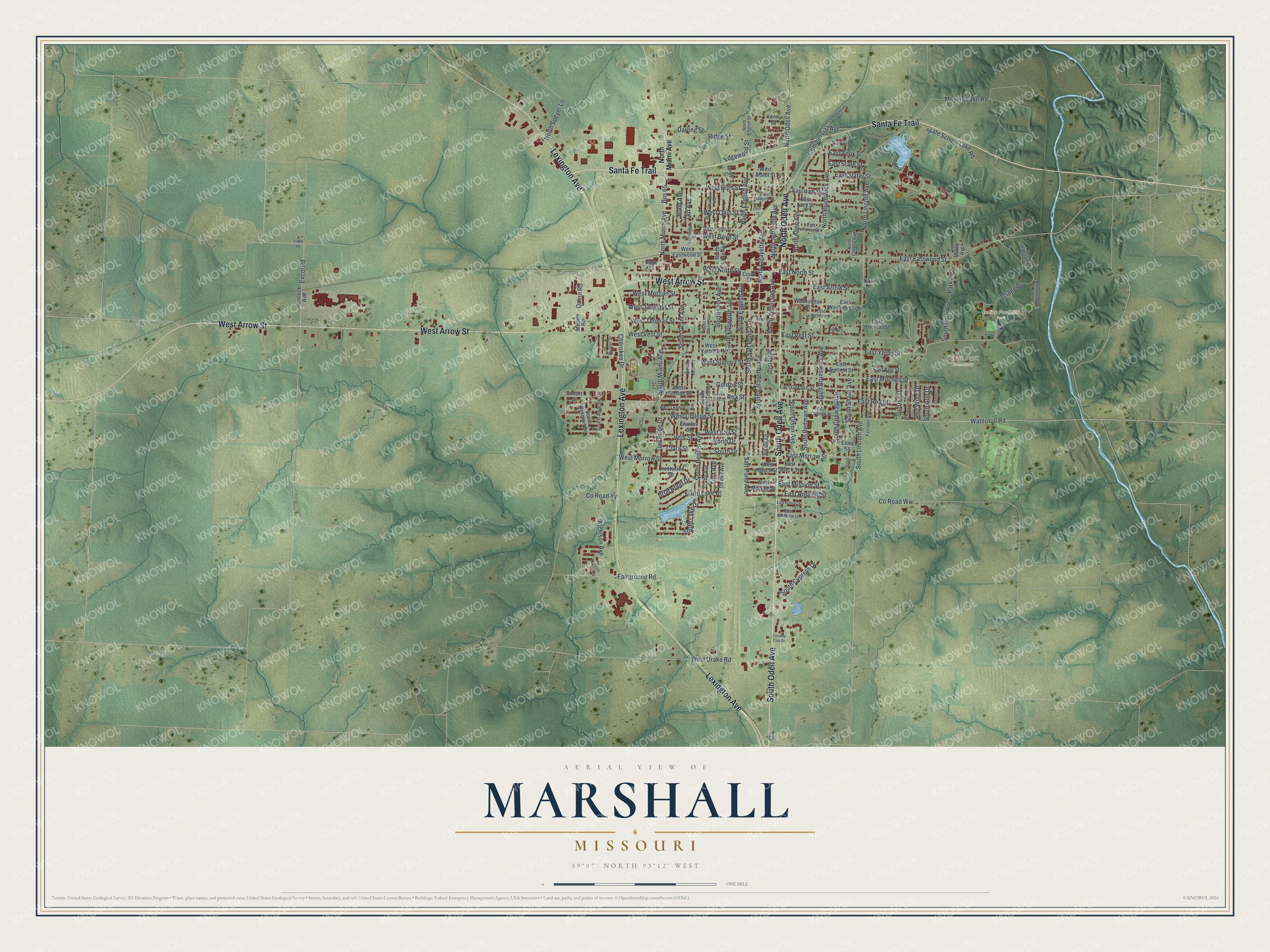
Created by KNOWOL in 2026, the print shows Marshall from above in soft greens, with shaded hills, thin blue creeks and dark red buildings. The title panel reads "Aerial View of Marshall, Missouri" with the coordinates 39°07' North 93°12' West.
It suits a living room, a home office or a dorm room. It's a thoughtful gift for a Missouri Valley College grad, or for anyone who grew up near the Saline County Courthouse and moved away. Open the preview and find your street. See sizes and frames for the Marshall map.