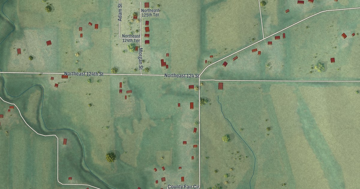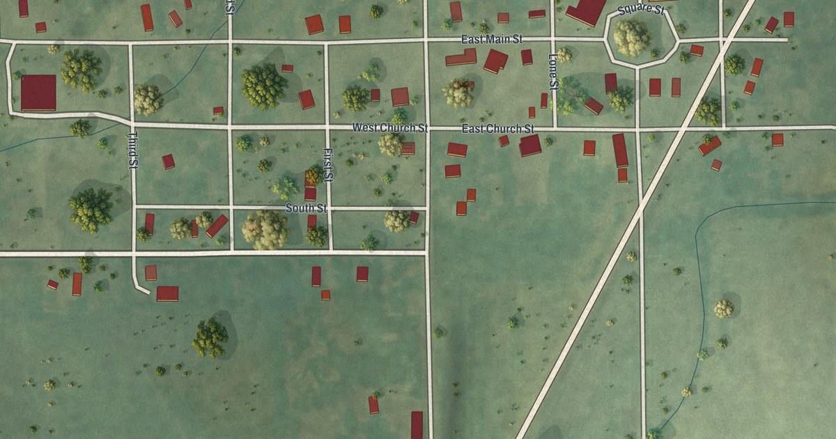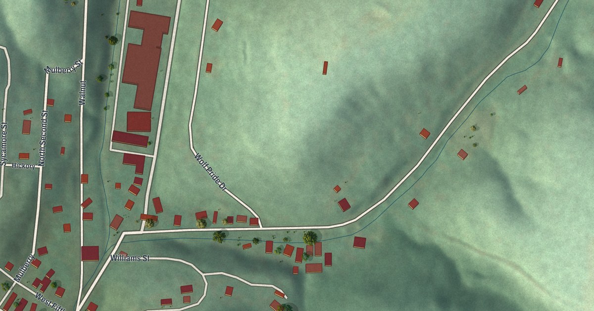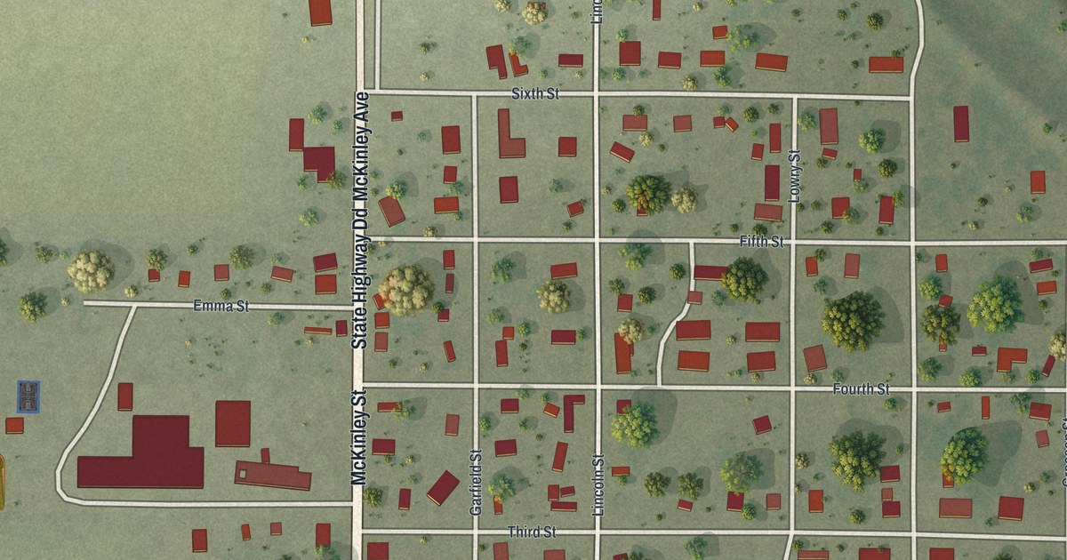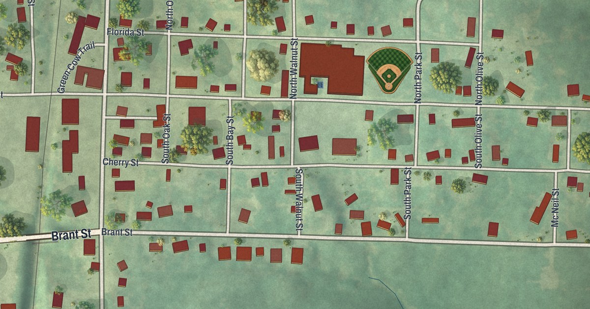
If you grew up in Mercer, or still have family on one of its quiet blocks, this print was made with you in mind. It's a modern aerial view of Mercer in Mercer County, Missouri, built from modern data and finished with a vintage feel. The whole town fits on one sheet. You can see its streets, its homes and the soft green hills that roll out on every side.
The streets of Mercer, from Bison Street to Mc Neil Street
On this map you'll find Main Street, Bison Street, North State Street, South State Street, Alley Street, Brant Street, Cherry Street, Florida Street, Talbot Street, Green Cow Trail, Rose Ann Drive, Sommerset Place, Broadway Street, Mc Neil Street, and more. Each red shape is a building, so zoom in on the preview and look for yours.
A small town that shares a name with Mercer County
Mercer is a small town. The 2020 census counted 263 people here. It shares its name with the county around it. On a map this size, you can see nearly every home at once. More than 300 buildings are drawn in red. A rail line runs straight down the left side, close to Bison Street. Near the middle of town, a ball diamond sits in the grass. Thin creeks wind through the hills, and the land rises and falls all around.
Keep Main Street in Mercer close
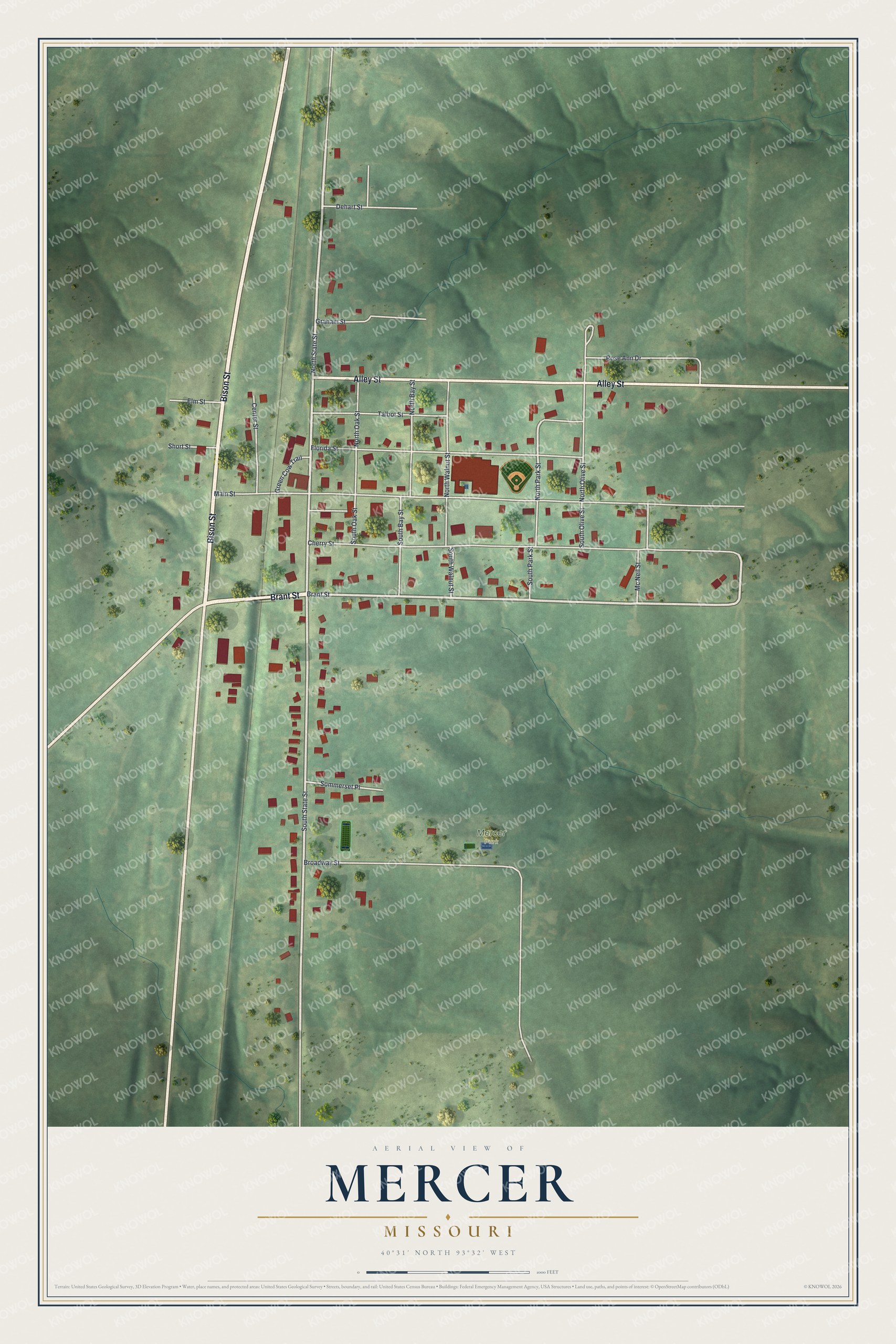
Created by KNOWOL in 2026, this print shows Mercer from above in soft greens, with shaded hills, pale roads and red buildings. The title panel reads Aerial View of Mercer, Missouri, with the coordinates 40°31' North 93°32' West.
It fits well in a den, a hallway or a kitchen. It's a kind gift for anyone who grew up near Main Street, or who moved away from Mercer and still thinks of home. Open the preview and find your street. See sizes and frames for the Mercer map.