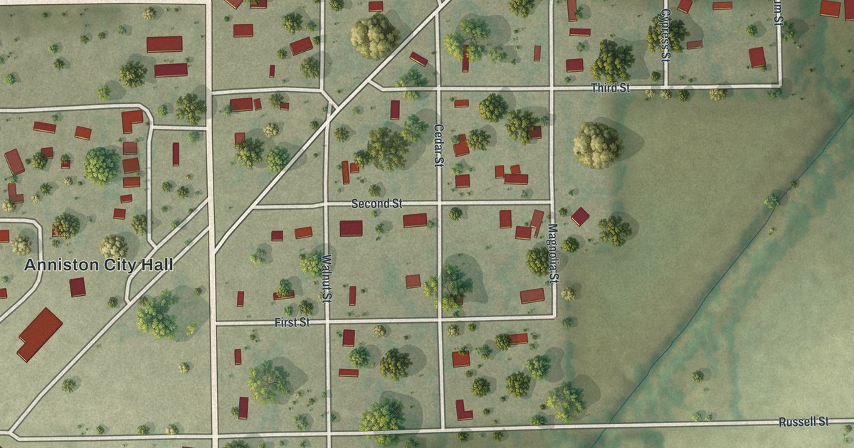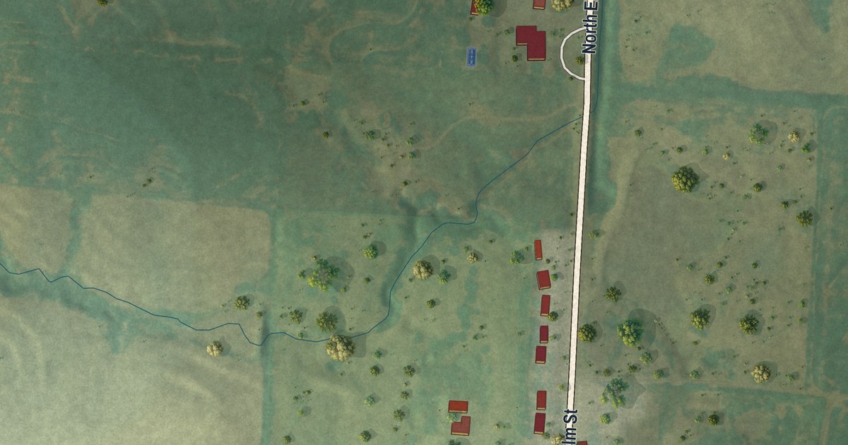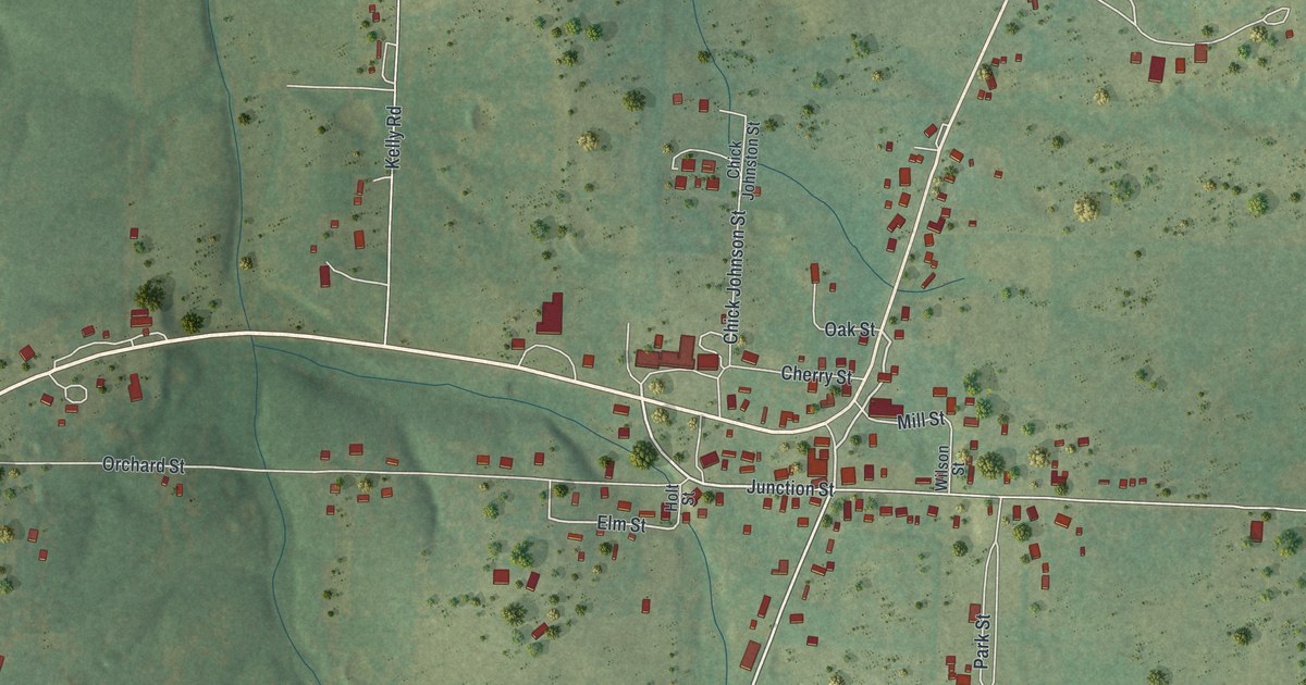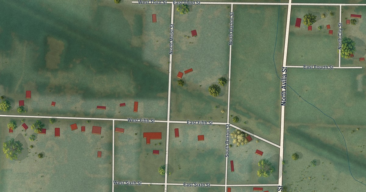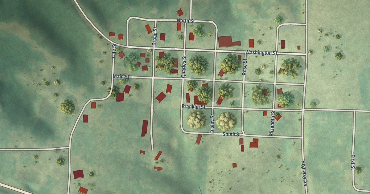
If you grew up on Main Street in Luray, or your family farmed the land around it, this map is for you. It's a modern aerial view of the village of Luray in Clark County, Missouri, made with modern data and given a vintage feel. The small grid of streets sits near the middle of the sheet, with red buildings along Washington Street and Main Street. Green hills and farm fields fill the rest, cut by thin blue creeks and a few long country roads.
Main Street, Washington Street and the Luray grid
On this map you'll find Main Street, Washington Street, Highway AA, Broad Street, North Street, South Street, Franklin Street, Quarles Street, Tate Street, Elizabeth Street, Rose Street, Lusley Street, First Street, Eldorado, and more. Each red shape is a building, so zoom in on the preview and look for yours.
Luray and the Keokuk & Western Railroad
Luray grew up as a farm town. An 1887 Goodspeed county history put it plainly. It said Luray was "surrounded with a rich agricultural country." Because of that, the book said, the town was "an important shipping and business point on the Keokuk & Western Railroad." In plain words, the farms kept Luray busy, and it was a place to trade and to ship. You can still see that farm country on the map. Wide fields and rolling green hills spread out on every side of the little grid.
The same book noted that the Methodist Protestant Church had an organization in Luray. The village is small now. The 2020 census counted 73 people living here. On the map, their town is a tight set of short blocks, with round shade trees tucked between the houses.
Keep Luray and Clark County close
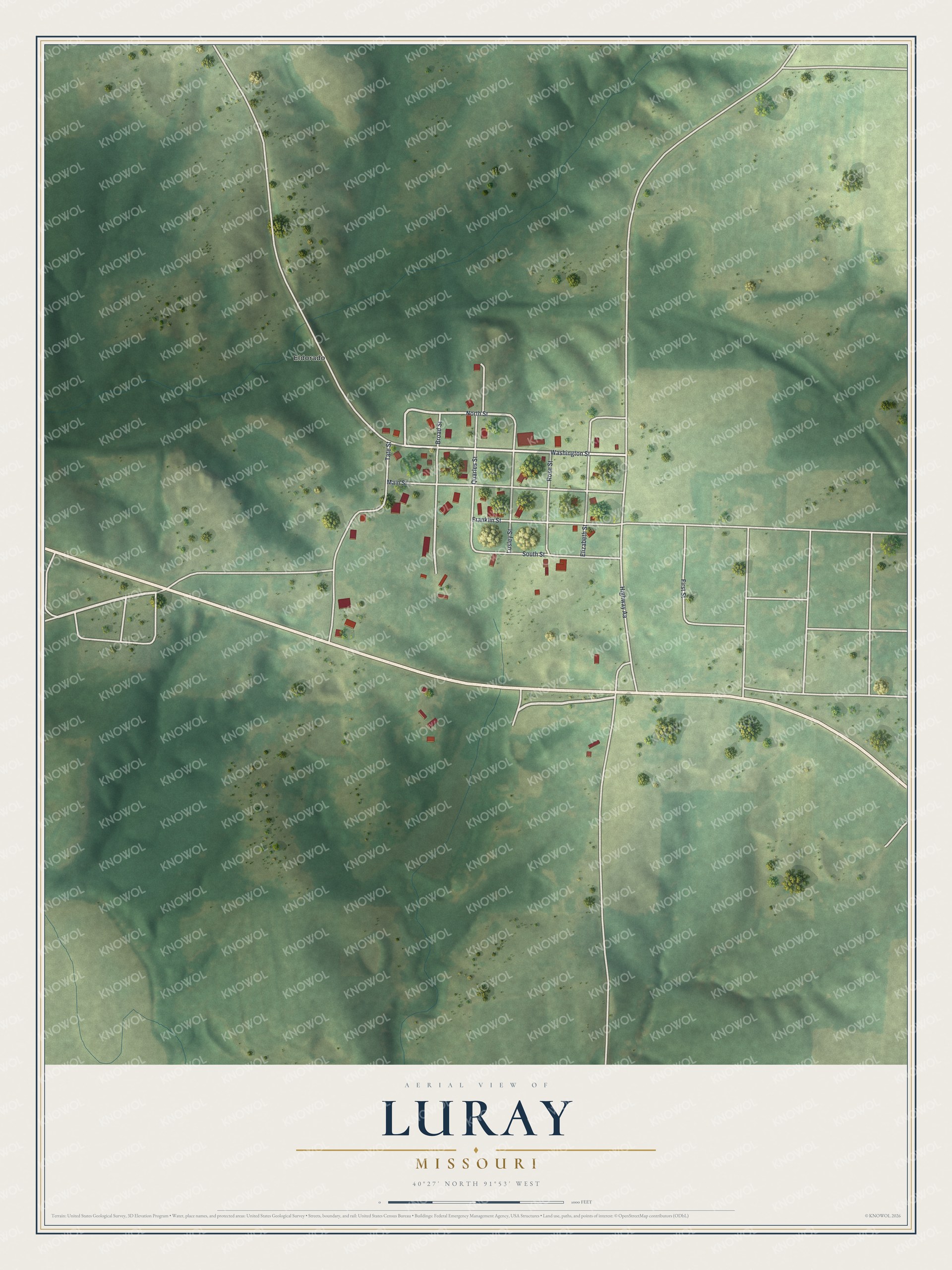
Created by KNOWOL in 2026, this print shows Luray in soft greens, with shaded hills, fine white roads and small red buildings. The title panel at the bottom reads "Aerial View of Luray, Missouri" with the coordinates 40°27' North 91°53' West.
It fits a kitchen, a front room or an office wall. It's a good gift for anyone who grew up near Main Street in Luray, or for family who moved away from Clark County. Open the preview and find the streets you know. See sizes and frames for the Luray map.