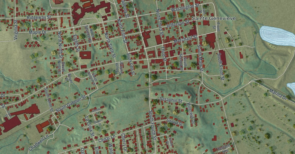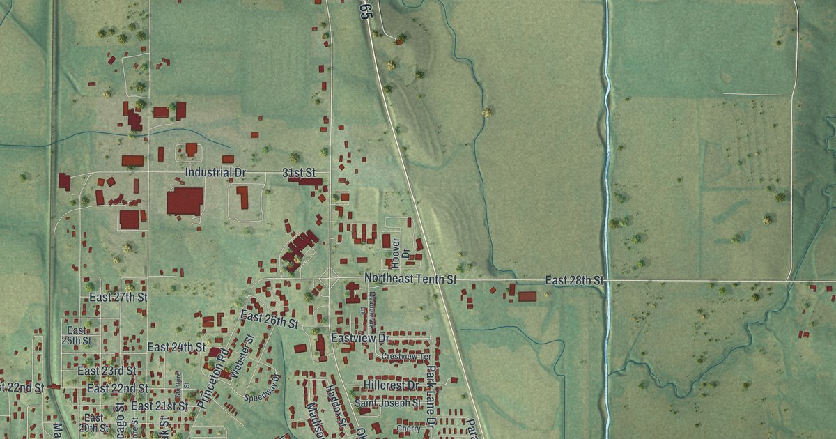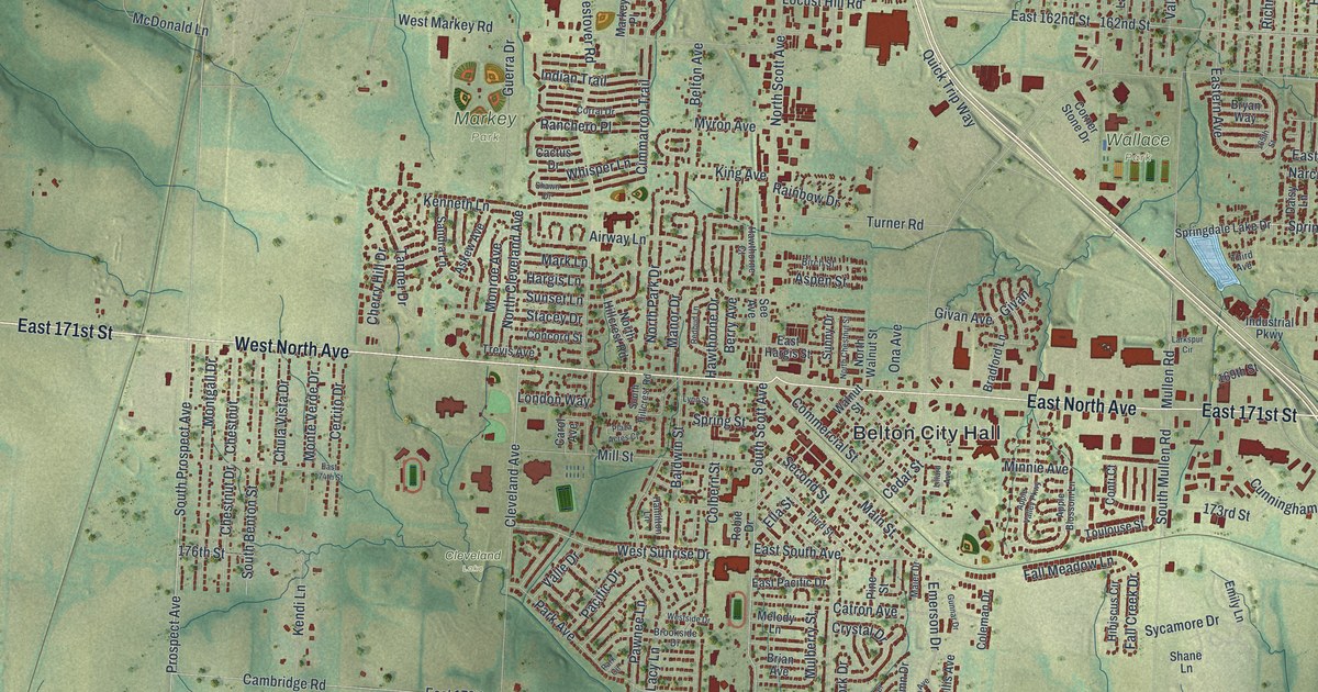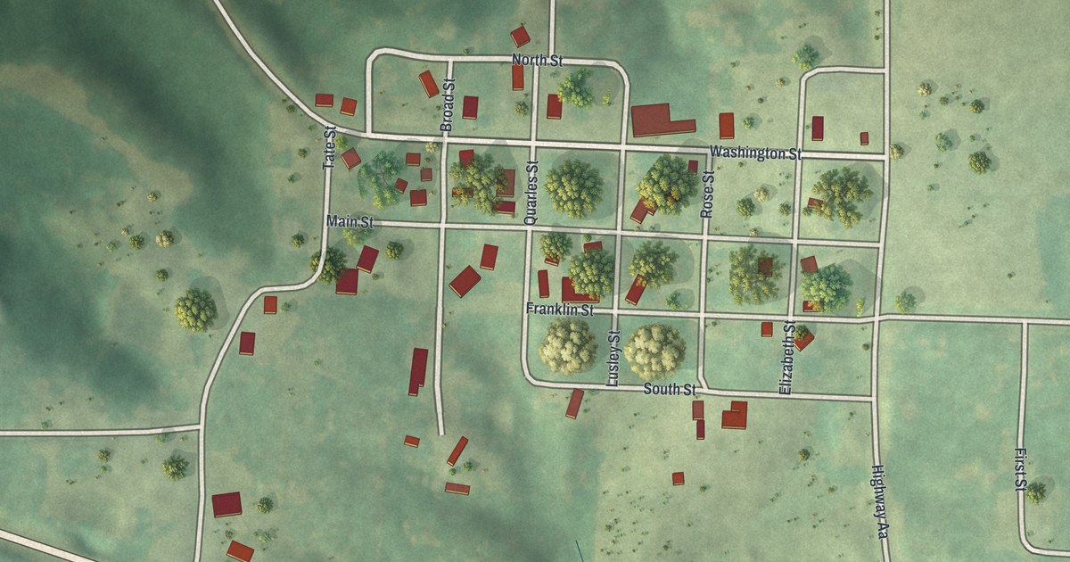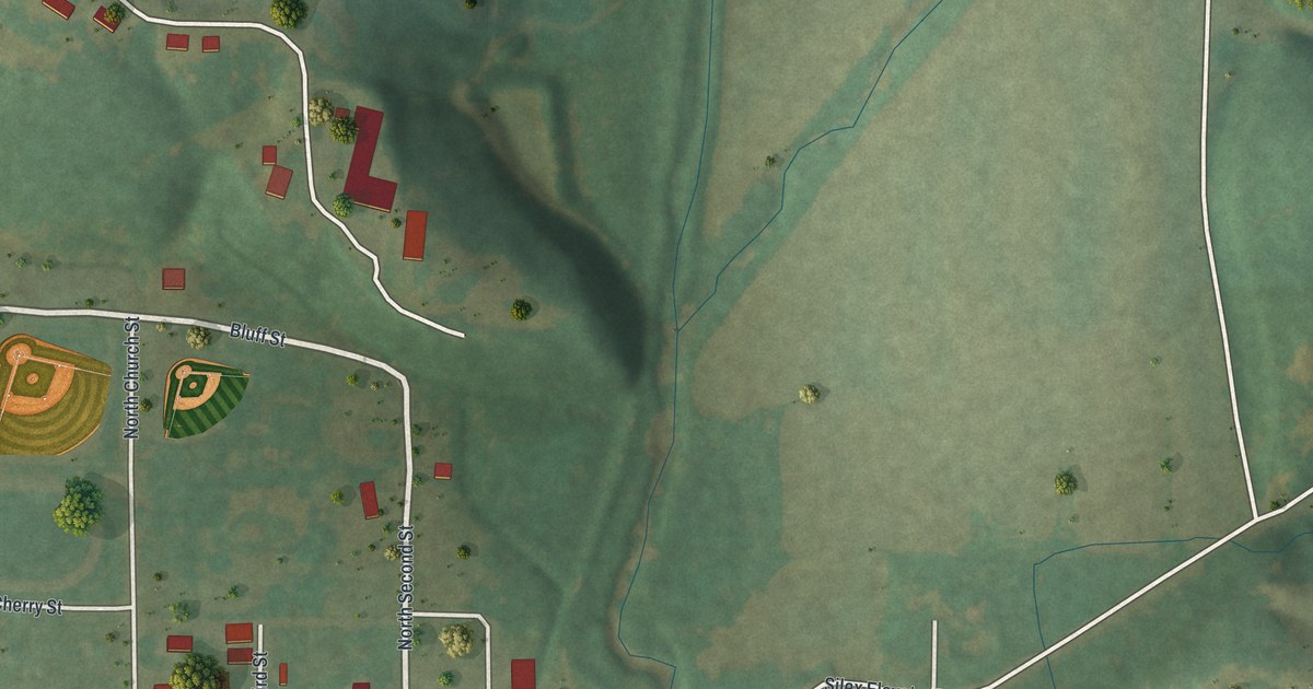
If you grew up in Silex or still have family along Main Street, this print was made with you in mind. It's a modern aerial view of Silex in Lincoln County, Missouri, built from modern data and given a soft vintage look. Green hills roll across the sheet, shaded so you can see every ridge and hollow. The town sits in the middle, with its red buildings and two ball fields near Bluff Street. A wide blue river curves along the lower left, and a newer neighborhood of small streets fills the east side.
George P. Smith and the first store in Silex
On this map you'll find Main Street, State Highway East, North Church Street, South Church Street, Cuivre Street, Bluff Street, North Second Street, Third Street, Hickory Street, Cherry Street, Duncan Mansion Drive, Silex Elevator Road, Redbud Drive, Dogwood Way, and more. Each red shape is a building, so zoom in on the preview and look for yours.
Silex grew up with the railroad. In 1880, George P. Smith ran a store at a spot called Cave City. It sat just beyond the rock cut north of where Silex stands now. When the St. Louis & Keokuk Railroad reached the site of Silex, he moved his goods there. That's how he opened the first store in town. He also fed and housed the men building the railroad until 1882. The town was laid out that same year. The story is told in the History of Lincoln County, Missouri, printed in 1888.
When Silex was a shipping point on the railroad
By 1888, the book called Silex a village of nearly 300 people, twelve miles northwest of Troy. The tracks came up the valley of the Cuivre River to Silex, then turned northeast. Cuivre Street shares the river's name today. Nearby Millwood was said to stay small because Silex was "a leading shipping point on the railroad." H. T. Mudd & Son even kept a general store and lumber yard here. Not every year was easy. In March 1885, L. C. Kimbler's store burned down. He got 2,000 dollars in insurance and built it again.
Main Street and Bluff Street in Silex

Created by KNOWOL in 2026, the print shows Silex in soft greens, with shaded hills, white roads, red buildings and a blue river. The title panel reads "Aerial View of Silex, Missouri" with the coordinates 39°08' North 91°03' West.
It fits a living room, a front hall, a home office or a kitchen wall. It's a good gift for anyone who grew up near Main Street, played ball by Bluff Street, or moved away from Lincoln County and misses home. Open the preview and find the streets you know. See sizes and frames for the Silex map.