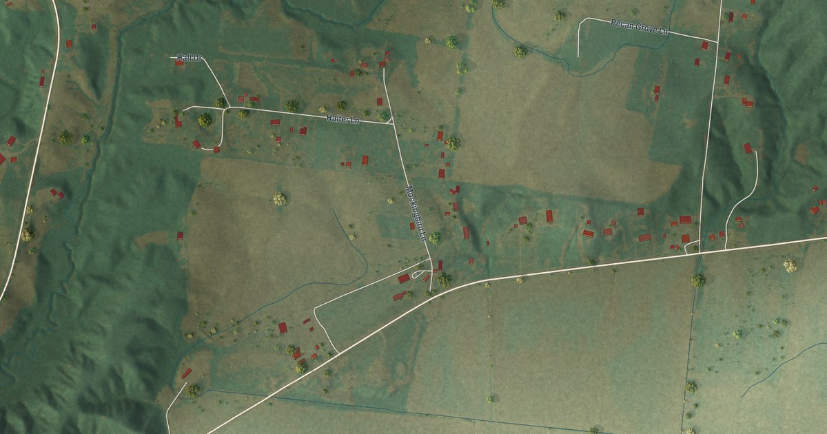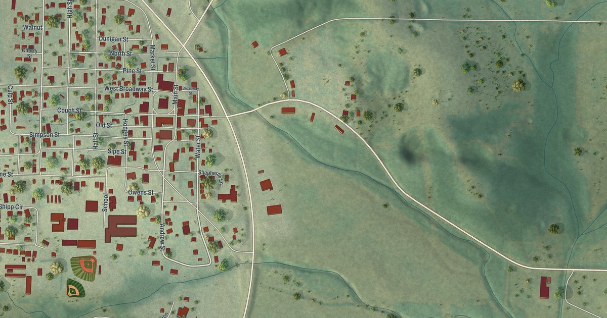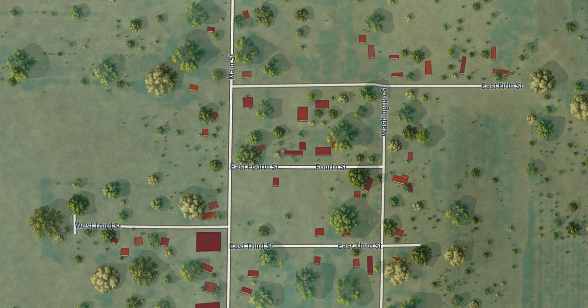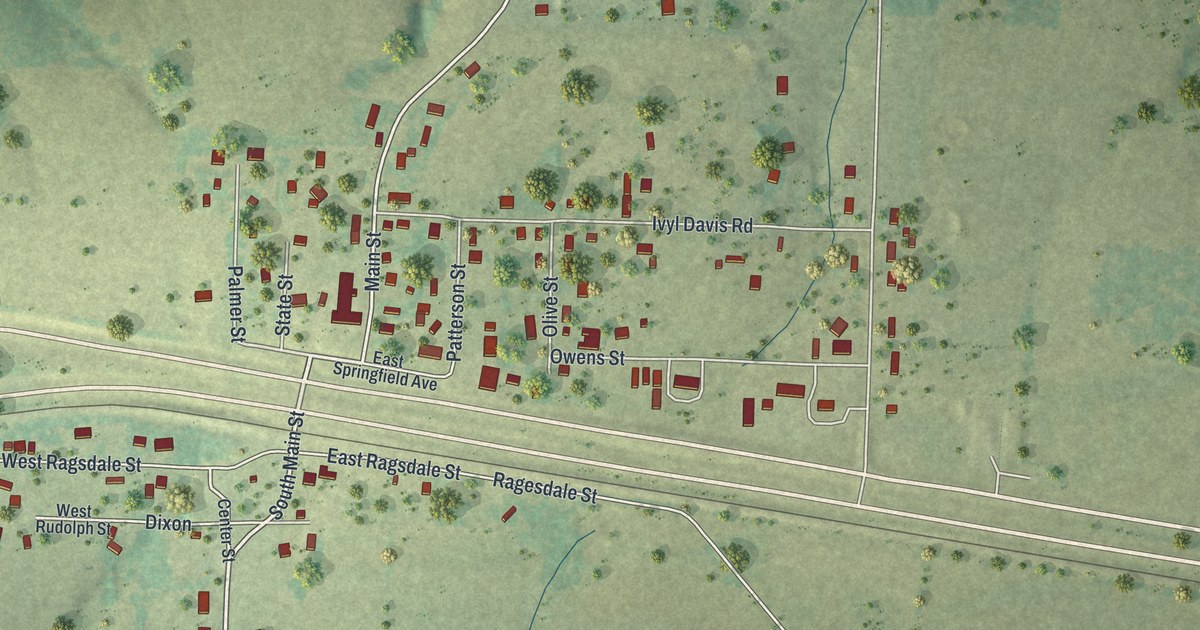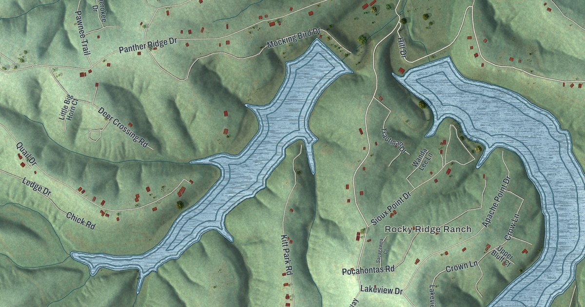
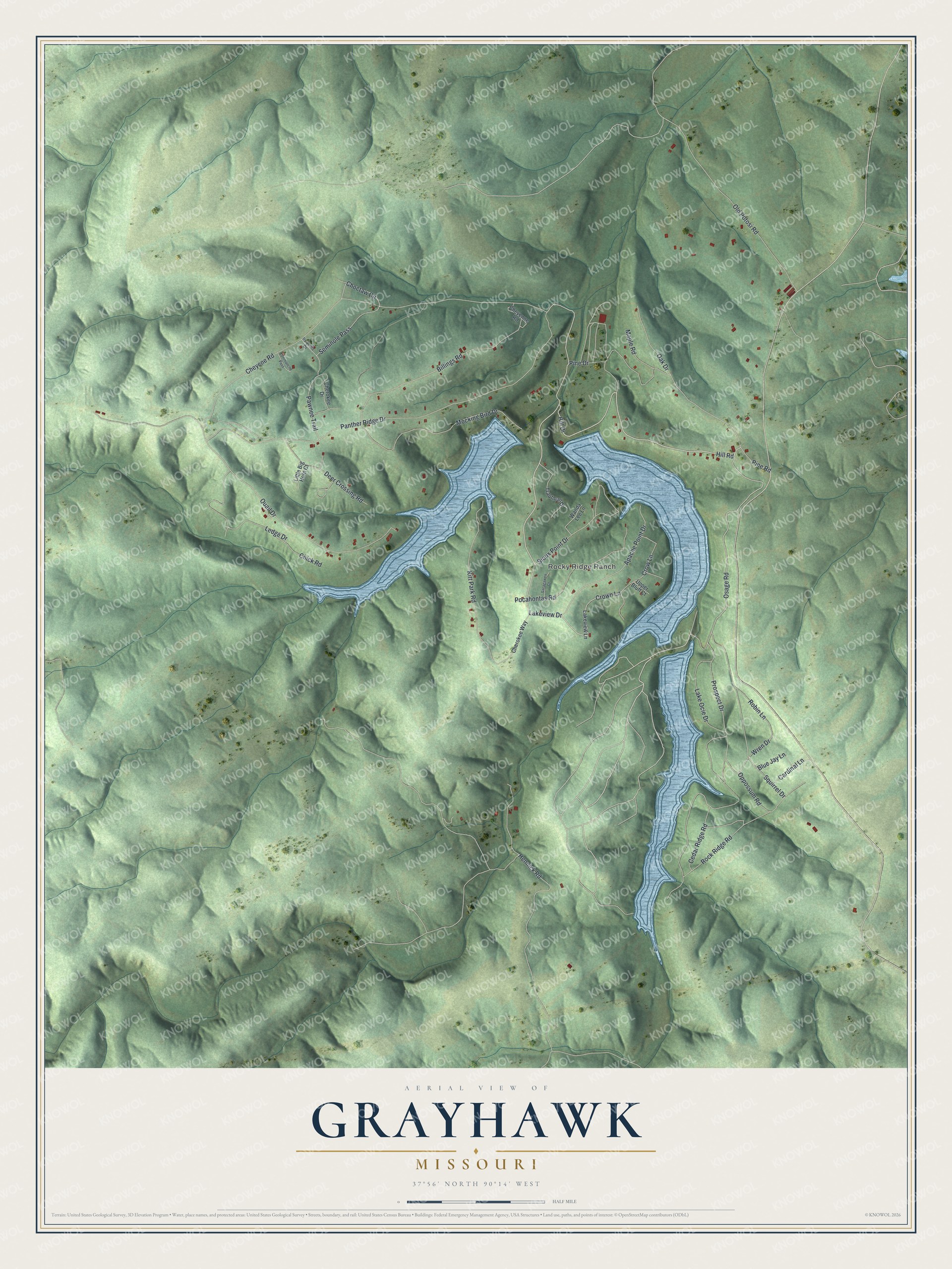
This beautifully detailed map of Grayhawk, Missouri was created in 2026 using aerial imagery combined with modern topographical, census, street and landmark data. It's a modern aerial view of Grayhawk in Ste. Genevieve County, Missouri, that combines modern data with a vintage aesthetic. The roads feature printed names, and if you look closely you can find your exact house accurately shown in its correct location.
Explore an aerial view of Grayhawk, Missouri
On this map you'll find Rocky Ridge Ranch, Hill Road, Hill Drive, Lakeview Drive, Osage Road, Crown Lane, Choctaw Circle, Cheyene Road, Panther Ridge Drive, Lake Ocie Drive, Hennick Road, Quail Drive, and more. Each red shape is a building, so zoom in on the preview and look for yours.
Grayhawk is a community in Ste. Genevieve County. The Census Bureau counted 488 people here in 2020. Grayhawk sits about 3 miles northwest of Weingarten, 6 miles southeast of Goose Creek Lake and 6 miles south of Bloomsdale. The map prints the town name in its title panel, with the coordinates below it.
Take a closer look at the Grayhawk map
Names on this map
These names are printed on this map.
Places: Rocky Ridge Ranch.
Streets and roads: Hill Road, Hill Drive, Lakeview Drive, Osage Road, Crown Lane, Choctaw Circle, Cheyene Road, Panther Ridge Drive, Lake Ocie Drive, Hennick Road, Quail Drive, Pine Drive.
More street names, A to Z
Apache Point Drive, Billings Road, Blue Jay Lane, Cardinal Lane, Cedar Ridge Road, Cherokee Drive, Cherokee Way, Cheyenne Road, Chick Road, Commanche Pass, Crow Lane, Deer Crossing Road, Iroquois Drive, Kitt Park Road, Lakeview Lane, Ledge Drive, Little Big Horn Court, Maple Road, Mocking Bird Drive, Oak Drive, Old Potosi Road, Oppossum Road, Pawnee Trail, Pine Road, Pocahontas Road, Prospect Drive, Robin Lane, Rock Ridge Road, Sacagawea Court, Seminole Pass, Sioux Point Drive, Squirrel Drive, Trautman Drive, Upper Bluff Court, Wanda Lee Lane, Wren Drive.
See it on a wall
The Grayhawk map as a framed print. Swipe for more.


Created by KNOWOL in 2026. The buildings are small red shapes, the roads carry their printed names, and shaded relief shows the shape of the land. The title panel reads "AERIAL VIEW OF GRAYHAWK, MISSOURI" with 37°56' NORTH 90°14' WEST.
It suits a den, a classroom or a front hall, and it makes a gift for anyone with Grayhawk roots. Open the preview and find the block you know. See sizes and frames for the Grayhawk map.