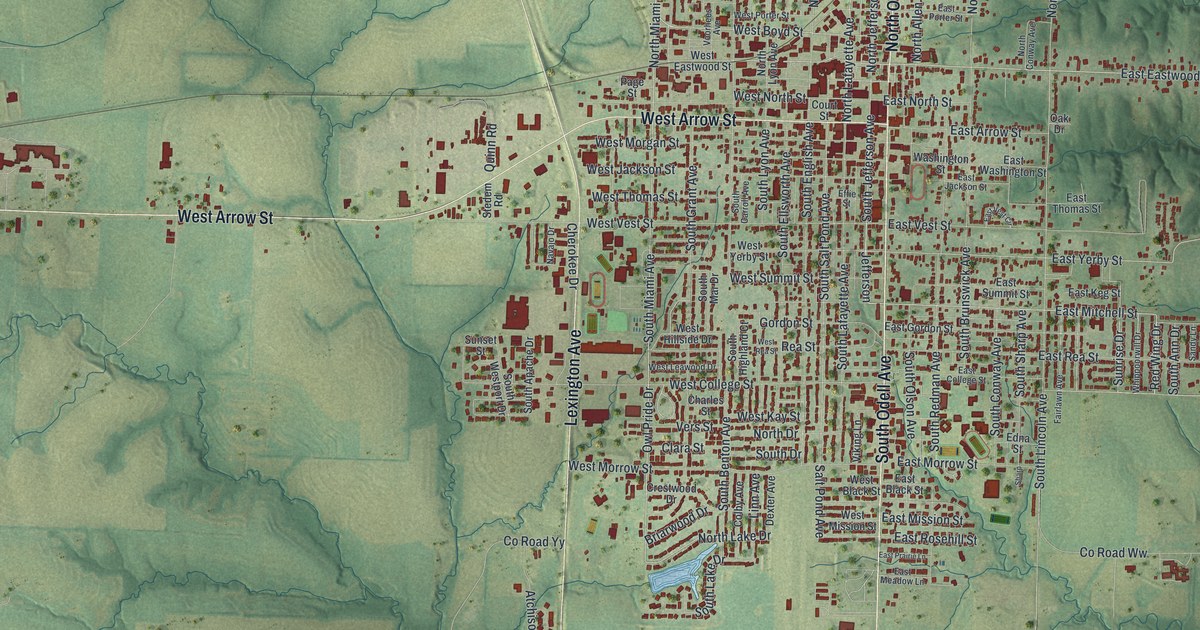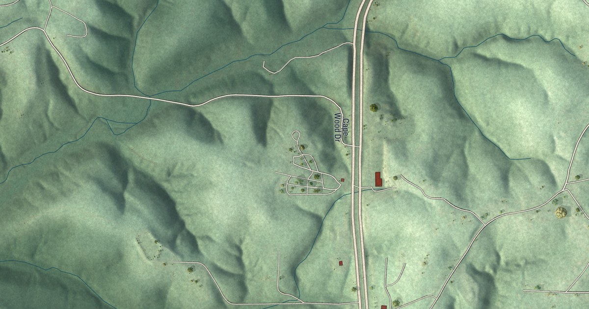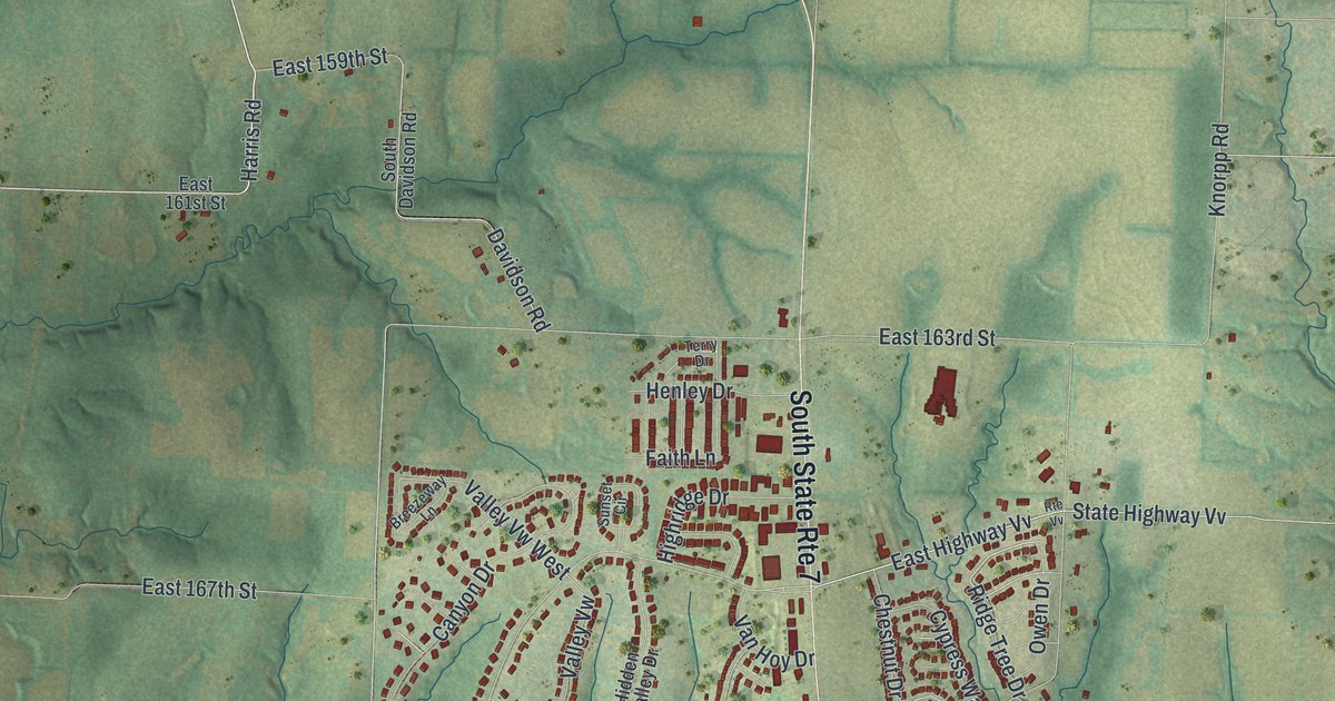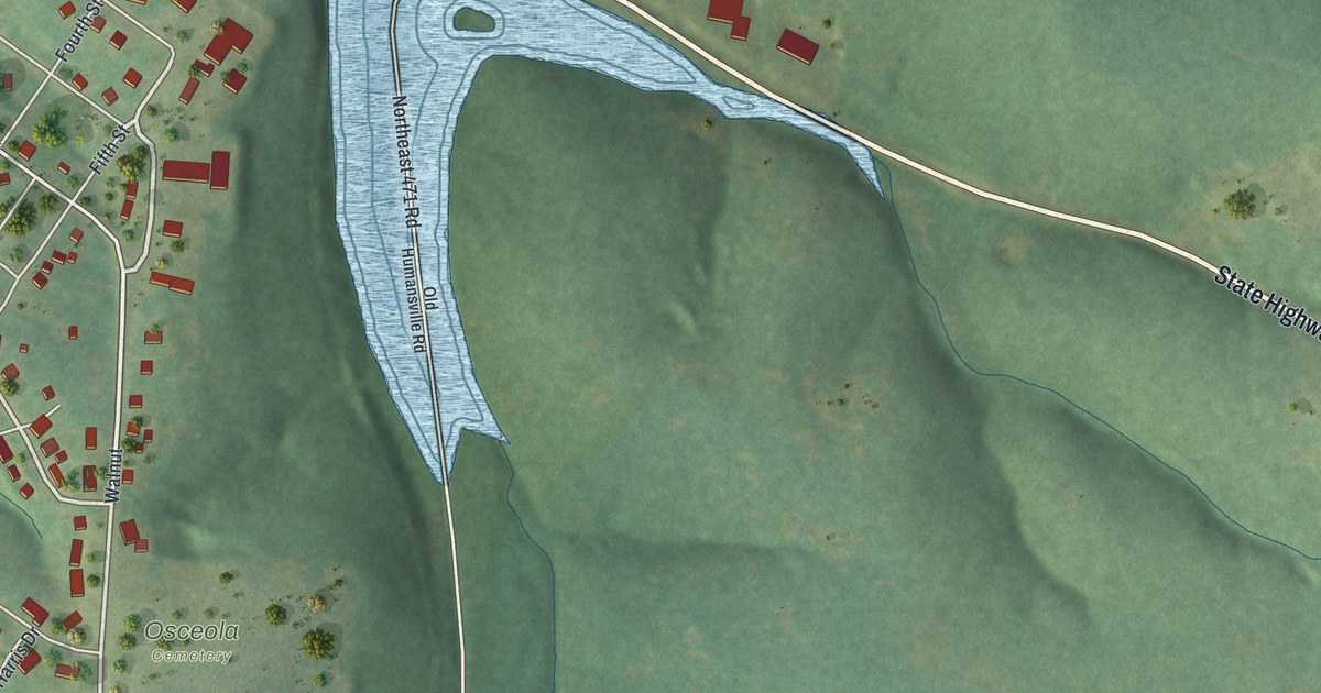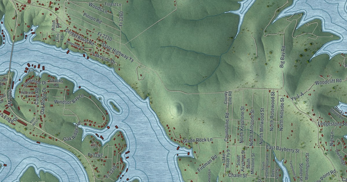
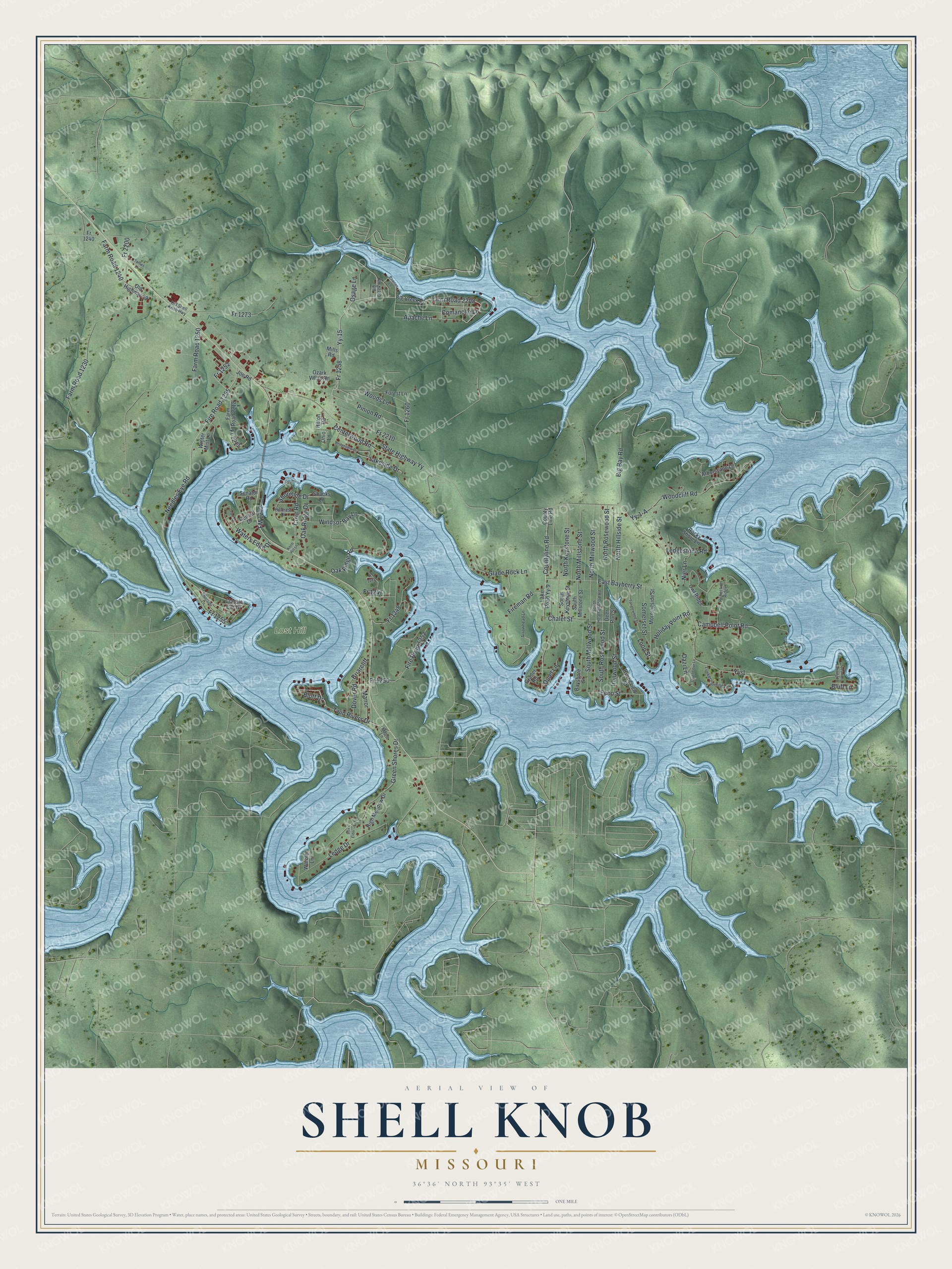
This beautifully detailed map of Shell Knob, Missouri was created in 2026 using aerial imagery combined with modern topographical, census, street and landmark data. It's a modern aerial view of Shell Knob in Barry County, Missouri, that combines modern data with a vintage aesthetic. The roads feature printed names, and if you look closely you can find your exact house accurately shown in its correct location.
Explore an aerial view of Shell Knob, Missouri
On this map you'll find Lost Hill, Fire Road 1255, Farm Road 2208, Fr 1255, Fr 1252, Fr 2212, Yy-15, Fr 1258, Needles Eye Road, Countyline Road, Twin Rivers Drive, Shoreline Drive, and more. Each red shape is a building, so zoom in on the preview and look for yours.
Here is a piece of Shell Knob history. In 1835 Henry Schell and Elizabeth Yoachum married and set up a trading post at the foot of the mountain known today as Shell Knob. The trading post was joined to the Schells' home, and four of their children are thought to have been born there. The Brock family came in 1840, and William Jefferson Brock served as a postmaster at Shell Knob and also taught school. That's from the Barry County MOGenWeb project.
Shell Knob is a community in Barry County. The Census Bureau counted 1,254 people here in 2020.
Take a closer look at the Shell Knob map
Names on this map
These names are printed on this map.
Places: Lost Hill.
Streets and roads: Fire Road 1255, Farm Road 2208, Fr 1255, Fr 1252, Fr 2212, Yy-15, Fr 1258, Needles Eye Road, Countyline Road, Twin Rivers Drive, Shoreline Drive, Bluff Drive.
More street names, A to Z
Apache Lane, Arborscape Lane, Arrowhead Lane, Bayshore Street, Big Bay Road, Big Creek Drive, Big Creek Road, Bluff Lane, Box Elder Lane, Briarcliff, Bridgeview Drive, Campbell Point Road, Centerwood Road, Central Drive, Chalet Street, Classic Car Drive, Comanche Lane, County Line Road, Cove Road, Dazi Lane, Deer Run Street, Dover Road, East Bayberry Street, Echo Street, Farm Road 1230, Farm Road 1240, Farm Road 1250, Farm Road 2212, Fireman Road, Fire Road 1252, FM 1242, Forest Lane, Fr 1240, Fr 1247, Fr 1248, Fr 1250, Fr 1260, Fr 1273, Fr 2200, Fr 2210, Fr 2222, Glade Rock Lane, Grader Road, Grant Drive, Green Shores Drive, High Meadow Drive, Hillcrest Drive, Hilton Road, Holiday Point Road, Ironwood Street, Joe Road, Knob Hill Lane, Lake Road Yy-9, Lakeside Drive, Ledge Drive, Ledgestone Road, Loop Street, Lunker Landing Lane, Manor, Maple Lane, Mills Road, Morningside Street, Nier Lane, North Hillside Street, North Keystone Street, North Millstone Street, North Millwood Street, North Rosewood Street, Oak Ridge Drive, Oak Ridge Road, Ohio Lane, Old Highway 39, Old Shell Knob Highway, Osage Lane, Owl Ridge, Ozark Villas Road, Pawnee Lane, Pinion Road, Quail Cove Lane, Quiet Lane, Reflection Ridge, Riverside Lane, Rocky Shore Lane, Rusticview Street, Senator Road, Shanks Lane, Somerset Street, South Heatherwood Road, South Keystone Street, South Millstone Street, South Millwood Street, South Rosewood Street, State Highway Yy, Sycamore Landing Lane, Tanglewood Street, Terrier Lane, Warbler Lane, Waters Edge Drive, Windsor Bay Lane, Winter Mist Lane, Woodcliff Road, Woods Lane, Yy-1, Yy-1-A.
See it on a wall
The Shell Knob map as a framed print. Swipe for more.


Created by KNOWOL in 2026. The buildings are small red shapes, the roads carry their printed names, and shaded relief shows the shape of the land. The title panel reads "AERIAL VIEW OF SHELL KNOB, MISSOURI" with 36°36' NORTH 93°35' WEST.
It suits a den, a classroom or a front hall, and it makes a gift for anyone with Shell Knob roots. Open the preview and find the block you know. See sizes and frames for the Shell Knob map.