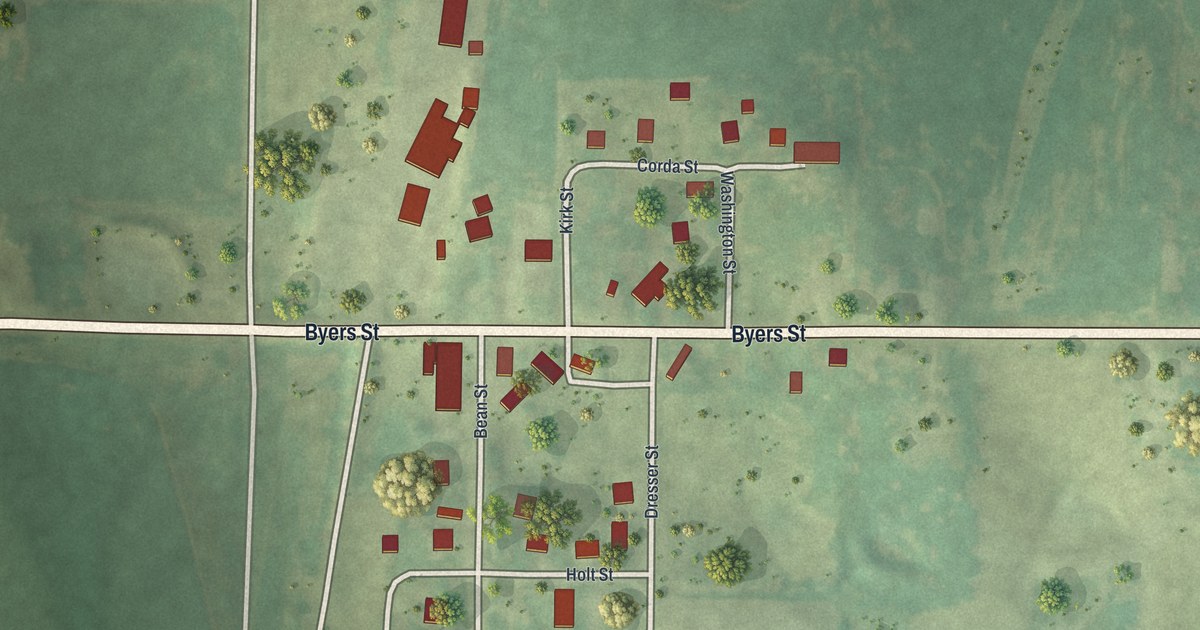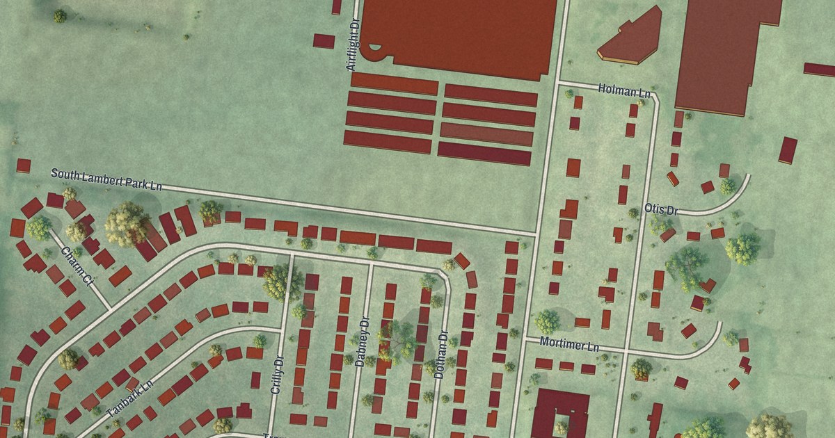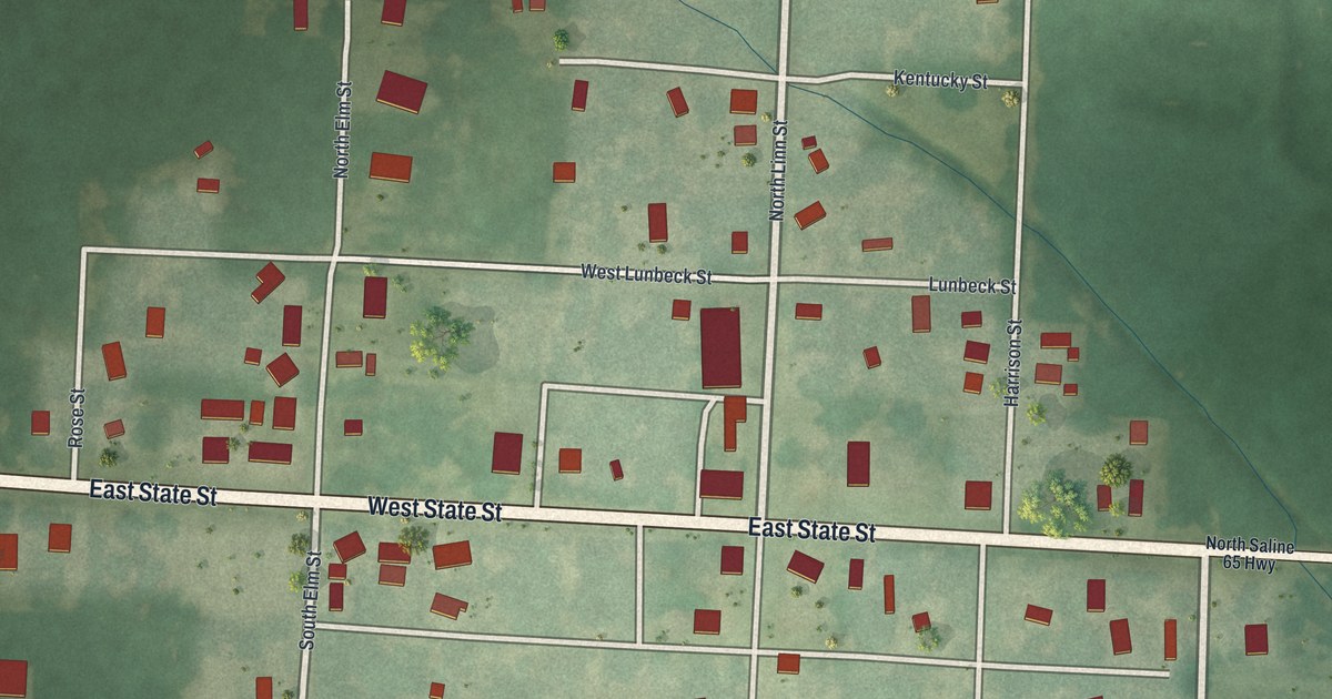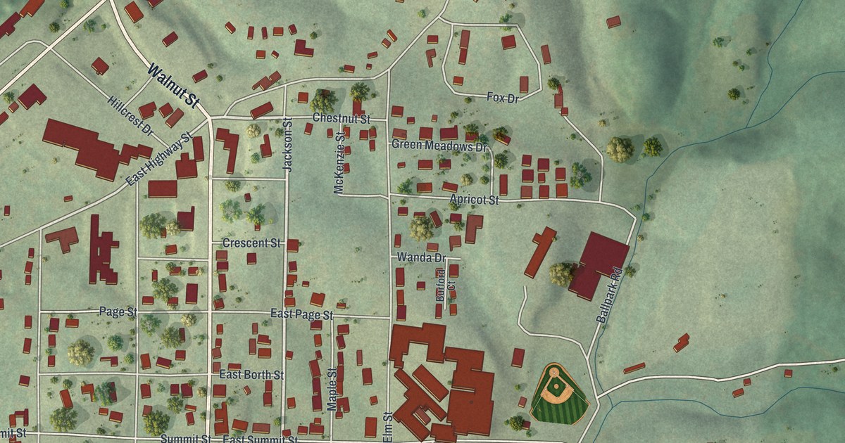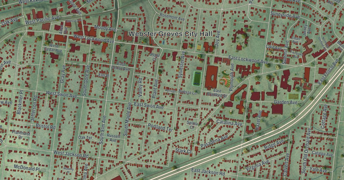
If you grew up in Webster Groves, or you still have family near Webster Groves City Hall, this map is for you. It's a modern aerial view of Webster Groves with a vintage feel, built from modern data. Webster Groves is in St. Louis County, Missouri. The whole city sits on soft green hills. Buildings show up in deep red, block after block. A blue creek winds along the top, and a railroad line cuts across the middle.
How Webster Groves got its name
On this map you'll find Webster Groves City Hall, Blackburn Park, Larson Park, Big Bend Boulevard, East Lockwood Avenue, West Lockwood Avenue, North Elm Avenue, South Gore Avenue, Tuxedo Boulevard, Glen Road, South Rock Hill Road, Laclede Station Road, Newport Avenue, Watson Road, and more. Each red shape is a building, so zoom in on the preview and look for yours.
The town's name goes back to a school. An old place-name file kept by the State Historical Society of Missouri says it took its name from Webster College. Artemas Bullard started the college. He was a New Englander. He named the school for Daniel Webster, who lived from 1782 to 1852. You can still see that name all over the map. Look for Webster Forest Drive, Webster Woods Drive, Webster Oaks Drive, Webster Path Drive, Webster Acres and Webster Knolls.
Historic places on Lockwood, Glen Road and Tuxedo Boulevard
Seven places inside the city are on the National Register of Historic Places. The Gorlock Building, the Charles W. Ferguson House and the Rockwood Court Apartments stand on West Lockwood Avenue. Tuxedo Park Station is on Glen Road. Tuxedo Park Christian Church is on Tuxedo Boulevard. The Hawken House is on South Rock Hill Road, and the Rock House at Edgewood Children's Center is on North Gore Avenue. Find those streets on the map and you'll know where to look.
From Big Bend Boulevard to Watson Road
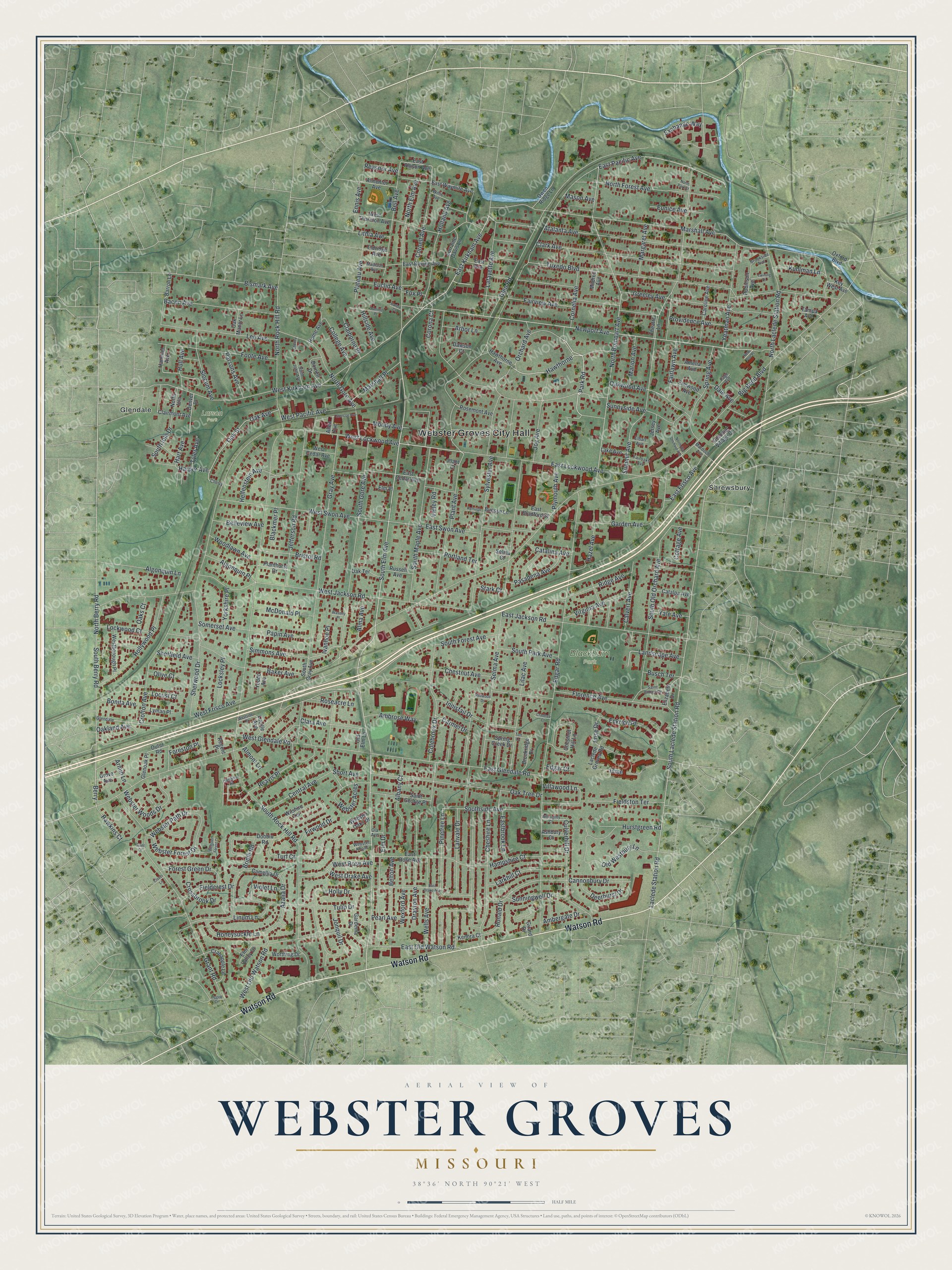
Created by KNOWOL in 2026. The print shows Webster Groves in soft greens, with buildings in deep red, a blue creek near the top and a railroad line across the middle. The title panel reads "Aerial View of Webster Groves, Missouri" with the coordinates 38°36' North 90°21' West.
It fits a front hall, a home office or a family room. It's a good gift for a new homeowner, or for anyone who moved away and misses the blocks around Blackburn Park. Open the preview and find your street. See sizes and frames for the Webster Groves map.