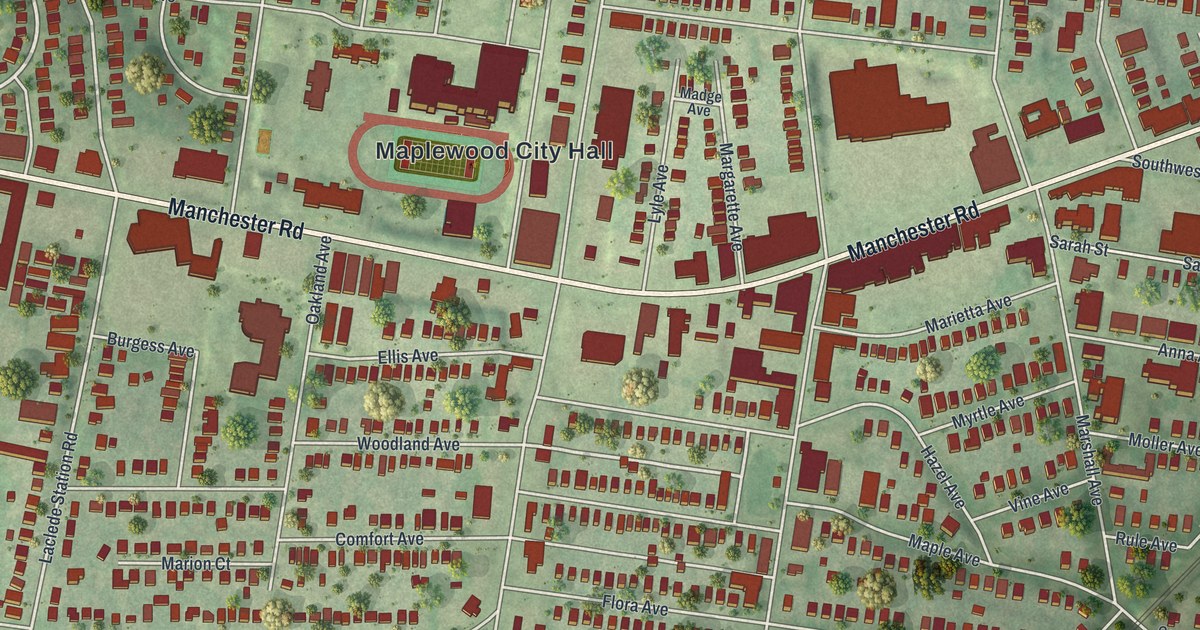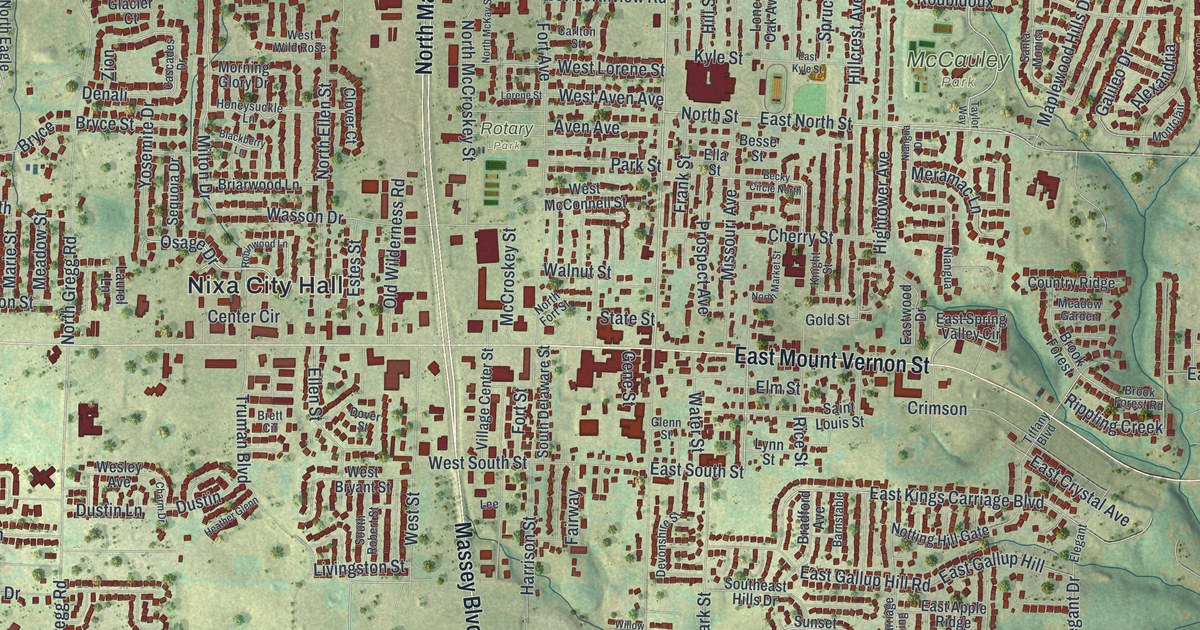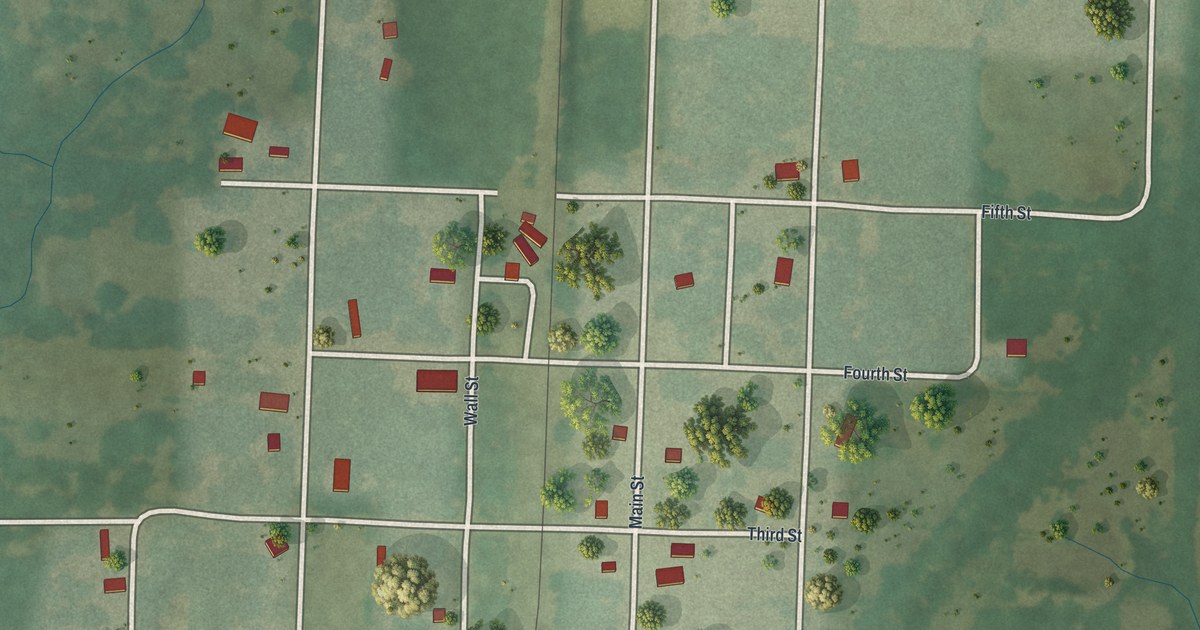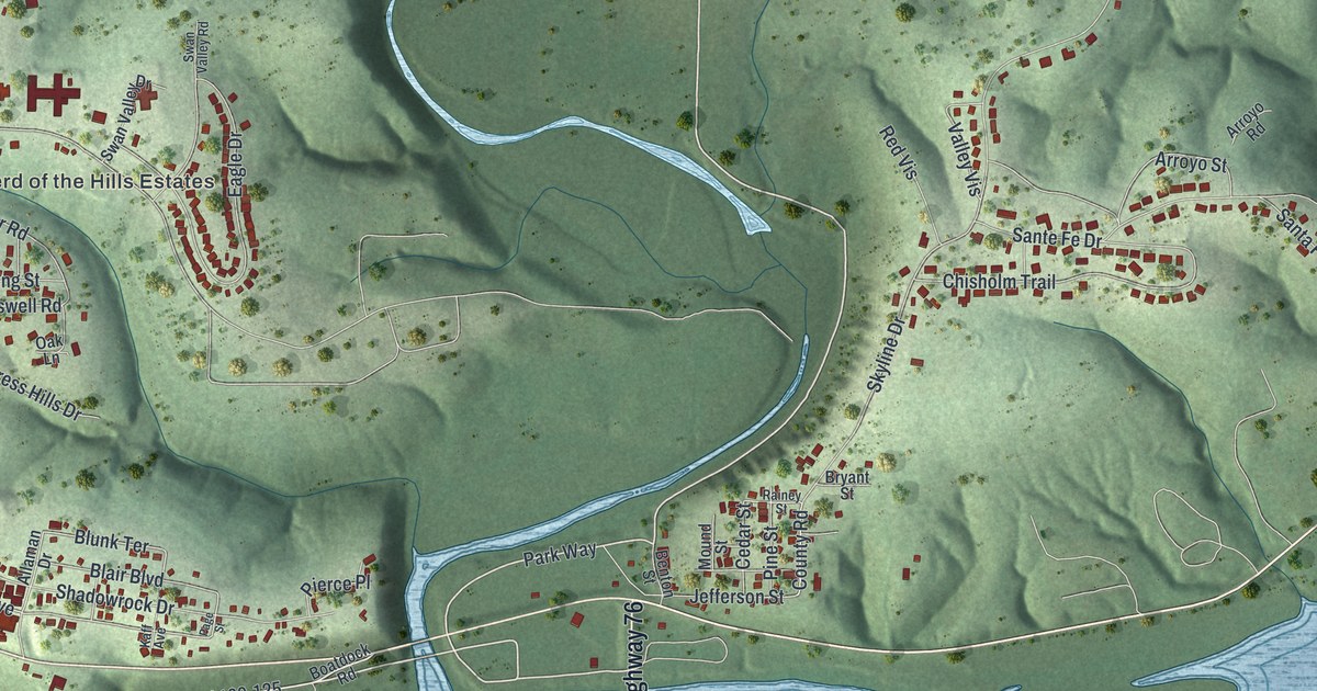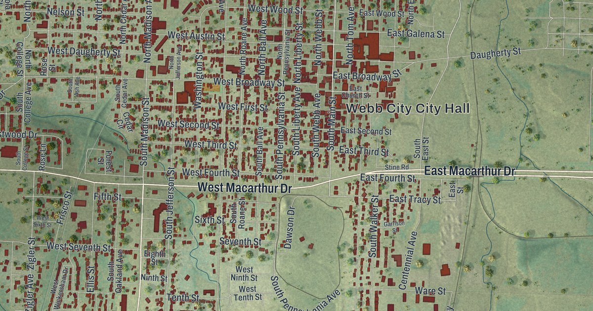
If you grew up in Webb City or still have family near King Jack Park, this print shows the streets you know. It's a modern aerial view of Webb City in Jasper County, Missouri, built from modern data and given a vintage feel. Almost 8,000 buildings are marked in red. The streets pack in tight around the city hall, then open up toward the edges of town. Soft green hills roll across the sheet, a small creek winds through the top corner, and a big highway curves down the right side.
How Webb City Got Its Name
On this map you'll find North Main Street, South Main Street, West Macarthur Drive, East Macarthur Drive, East Broadway Street, South Madison Street, North Range Line Road, Stadium Drive, Gold Dust Drive, King Jack Park, Mount Hope Cemetery, Webb City Cemetery, Oakland Park, and more. Each red shape is a building, so zoom in on the preview and look for yours.
Webb City carries the name of the man who laid it out. The State Historical Society of Missouri keeps an old file of Missouri place names. Its note on the town is short: "In July he platted the town to which his name was given." To plat a town is to draw up its lots and streets on paper. That's how a new town got its start. On the map, look near the city hall, where the blocks sit closest together.
The Middle West Hotel on Main Street
Two Webb City buildings are on the National Register of Historic Places. The Middle West Hotel, at 1 South Main Street, was listed in 1982. The Elijah Thomas Webb House, at 4 South Liberty Street, was listed in 2020. The hotel's address puts it right where North Main Street turns into South Main Street. Find that spot on the print and you're in the heart of the old town.
From King Jack Park to Mount Hope Cemetery
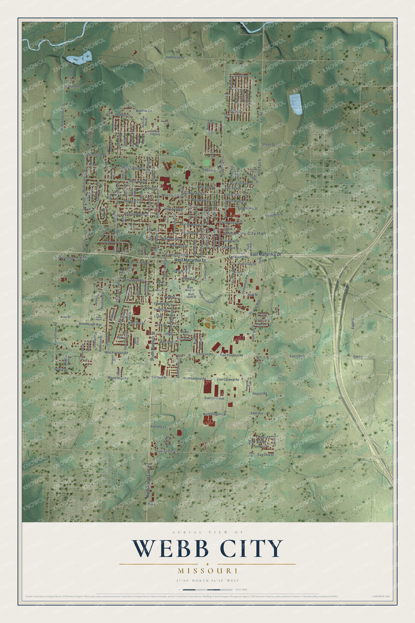
Created by KNOWOL in 2026, this print sets red buildings and gray streets over soft green shaded hills, with small ponds and a creek in blue. The title panel reads "Aerial View of Webb City, Missouri" with 37°09' North 94°28' West beneath it. Elevation comes from USGS, and streets come from the Census Bureau.
It fits well in a living room, a hallway or a home office. It's also a kind gift for someone who moved away and still thinks about King Jack Park or the walk down Main Street. Open the preview and find your own block. See sizes and frames for the Webb City map.